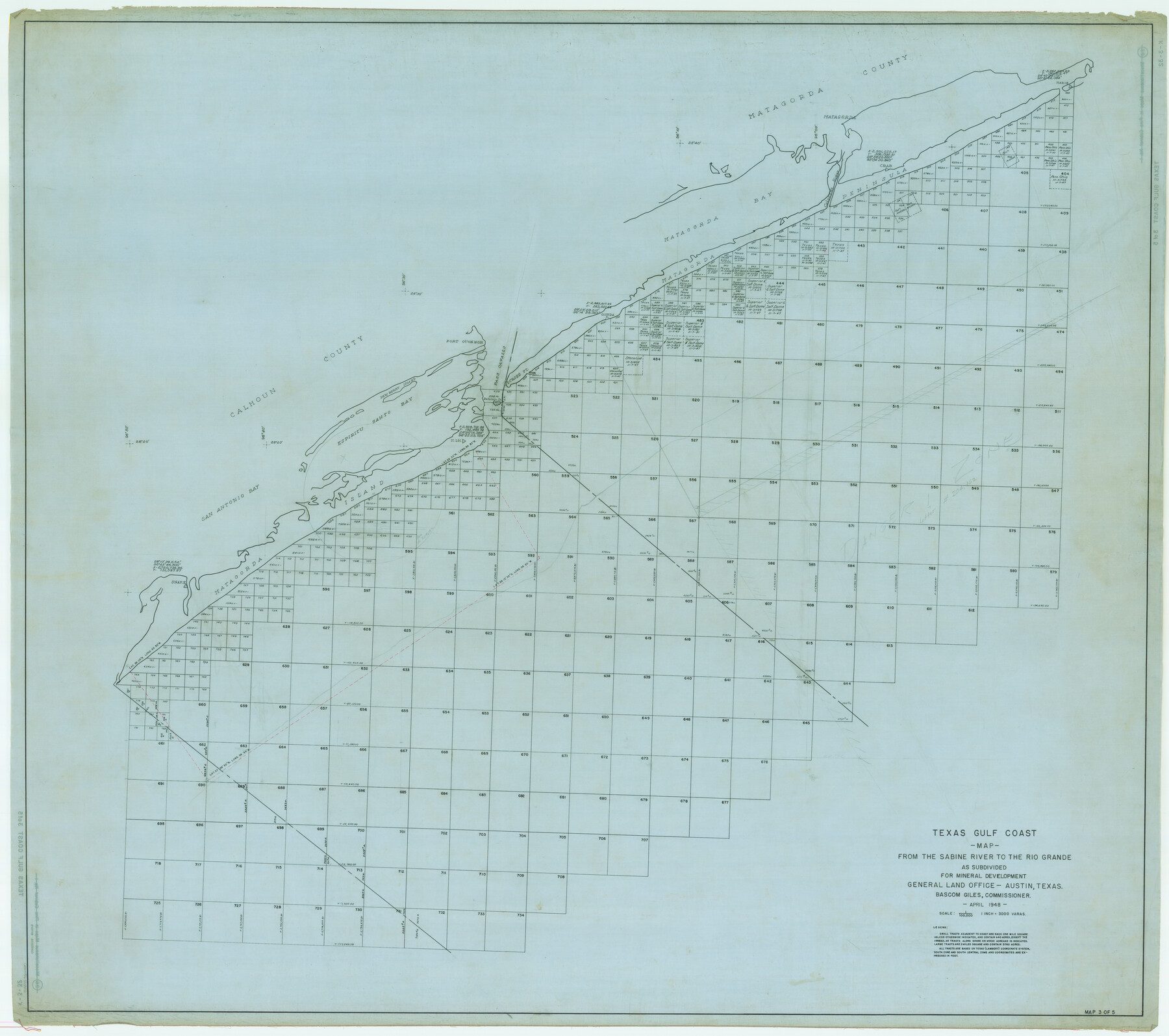
Texas Gulf Coast Map from the Sabine River to the Rio Grande as subdivided for mineral development
K-3-30; K-3-31; K-3-32; K-3-33; K-3-34
-
Map/Doc
2906
-
Collection
General Map Collection
-
Object Dates
1948 (Creation Date)
-
People and Organizations
General Land Office (Publisher)
-
Subjects
Energy Offshore Submerged Area
-
Height x Width
49.3 x 55.7 inches
125.2 x 141.5 cm
-
Comments
Obsolete as of April 1948.
Part of: General Map Collection
Denton County Working Sketch 24

Print $20.00
- Digital $50.00
Denton County Working Sketch 24
1989
Size 22.2 x 30.0 inches
Map/Doc 68629
Hardin County Rolled Sketch MH

Print $21.00
- Digital $50.00
Hardin County Rolled Sketch MH
1936
Size 10.1 x 15.2 inches
Map/Doc 45760
Dallam County Working Sketch 1

Print $20.00
- Digital $50.00
Dallam County Working Sketch 1
1905
Size 15.9 x 13.6 inches
Map/Doc 68586
Montgomery County Working Sketch 4

Print $20.00
- Digital $50.00
Montgomery County Working Sketch 4
1926
Size 20.9 x 22.2 inches
Map/Doc 71110
Dickens County Sketch File 38

Print $4.00
- Digital $50.00
Dickens County Sketch File 38
1904
Size 10.8 x 7.3 inches
Map/Doc 21048
El Paso County Rolled Sketch 52

Print $20.00
- Digital $50.00
El Paso County Rolled Sketch 52
1929
Size 18.5 x 24.5 inches
Map/Doc 5847
[Galveston, Harrisburg & San Antonio Railroad from Cuero to Stockdale]
![64197, [Galveston, Harrisburg & San Antonio Railroad from Cuero to Stockdale], General Map Collection](https://historictexasmaps.com/wmedia_w700/maps/64197.tif.jpg)
Print $20.00
- Digital $50.00
[Galveston, Harrisburg & San Antonio Railroad from Cuero to Stockdale]
1907
Size 13.9 x 34.1 inches
Map/Doc 64197
Starr County Sketch File 37

Print $10.00
- Digital $50.00
Starr County Sketch File 37
1940
Size 2.7 x 8.8 inches
Map/Doc 36980
Webb County Working Sketch 30

Print $20.00
- Digital $50.00
Webb County Working Sketch 30
1934
Size 15.0 x 40.6 inches
Map/Doc 72395
Dallas County Boundary File 8 and 8a

Print $4.00
- Digital $50.00
Dallas County Boundary File 8 and 8a
Size 11.2 x 8.7 inches
Map/Doc 52311
Culberson County Sketch File 43

Print $4.00
- Digital $50.00
Culberson County Sketch File 43
1931
Size 8.9 x 11.1 inches
Map/Doc 20329
Red River, Bois D'Arc Creek Floodway Sheet No. 5

Print $20.00
- Digital $50.00
Red River, Bois D'Arc Creek Floodway Sheet No. 5
1915
Size 22.3 x 31.9 inches
Map/Doc 69660
You may also like
Uvalde County Working Sketch 28

Print $20.00
- Digital $50.00
Uvalde County Working Sketch 28
1957
Size 25.9 x 21.5 inches
Map/Doc 72098
Limestone County Sketch File 26

Print $12.00
- Digital $50.00
Limestone County Sketch File 26
Size 14.3 x 8.7 inches
Map/Doc 30210
G.C. & S.F. Ry. Alinement and Right of Way map of Dallas Branch, Ellis County, Texas

Print $40.00
- Digital $50.00
G.C. & S.F. Ry. Alinement and Right of Way map of Dallas Branch, Ellis County, Texas
1925
Size 31.4 x 120.7 inches
Map/Doc 64547
McLennan County Sketch File 23

Print $4.00
- Digital $50.00
McLennan County Sketch File 23
Size 5.6 x 3.2 inches
Map/Doc 31297
Kaufman County Sketch File 8

Print $4.00
- Digital $50.00
Kaufman County Sketch File 8
1851
Size 13.3 x 9.2 inches
Map/Doc 28638
Burnet County Sketch File 27b

Print $7.00
- Digital $50.00
Burnet County Sketch File 27b
1876
Size 10.3 x 8.1 inches
Map/Doc 16737
Flight Mission No. CRC-2R, Frame 138, Chambers County

Print $20.00
- Digital $50.00
Flight Mission No. CRC-2R, Frame 138, Chambers County
1956
Size 18.7 x 22.4 inches
Map/Doc 84754
Roberts County

Print $20.00
- Digital $50.00
Roberts County
1878
Size 20.1 x 18.0 inches
Map/Doc 3991
Hardeman County Sketch File 5

Print $6.00
- Digital $50.00
Hardeman County Sketch File 5
Size 12.9 x 4.4 inches
Map/Doc 24994
Flight Mission No. CRC-4R, Frame 113, Chambers County

Print $20.00
- Digital $50.00
Flight Mission No. CRC-4R, Frame 113, Chambers County
1956
Size 18.6 x 22.3 inches
Map/Doc 84910
Upton County Working Sketch 39

Print $20.00
- Digital $50.00
Upton County Working Sketch 39
1958
Size 25.4 x 30.1 inches
Map/Doc 69535
Dickens County Sketch File H

Print $28.00
- Digital $50.00
Dickens County Sketch File H
Size 13.2 x 8.9 inches
Map/Doc 20861