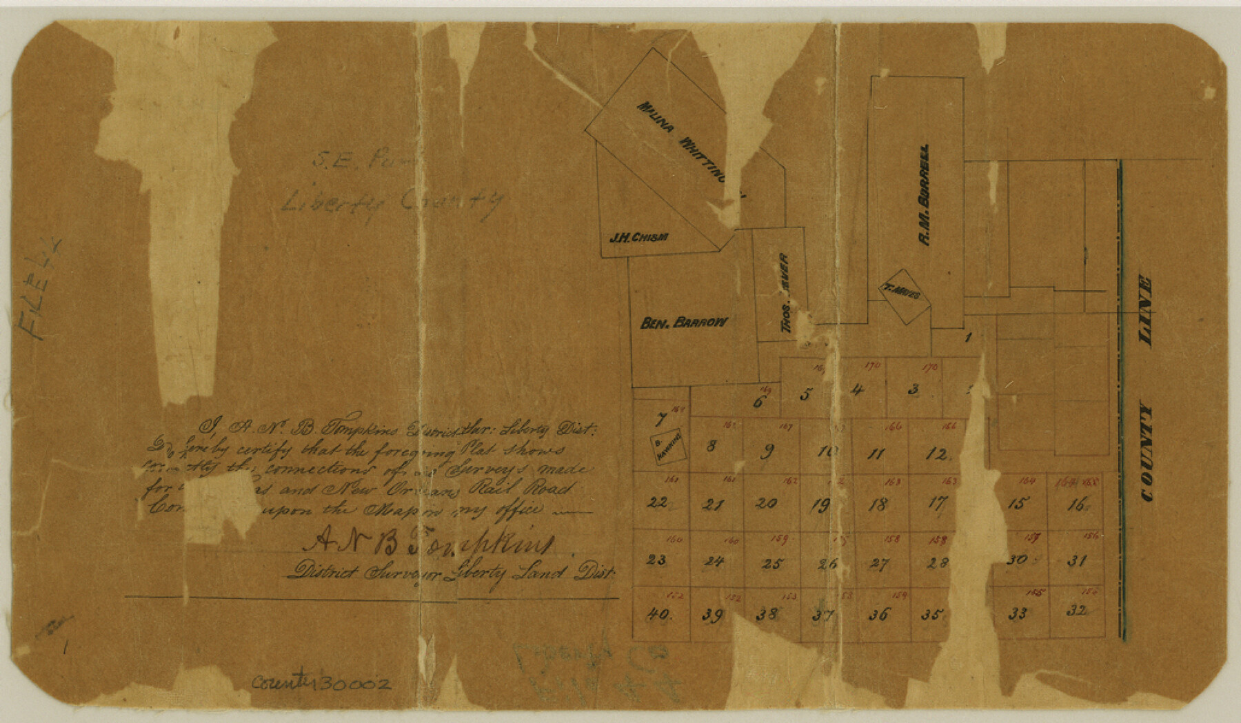
Liberty County Sketch File 44
[Sketch in southeast corner of county]
-
Map/Doc
30002
-
Collection
General Map Collection
-
People and Organizations
A.N.B. Tompkins (Surveyor/Engineer)
-
Counties
Liberty
-
Subjects
Surveying Sketch File
-
Height x Width
6.0 x 10.3 inches
15.2 x 26.2 cm
-
Medium
paper, manuscript
Part of: General Map Collection
Working Sketch No. II in Pecos County

Print $20.00
- Digital $50.00
Working Sketch No. II in Pecos County
1886
Size 31.3 x 24.1 inches
Map/Doc 3953
Travis County Appraisal District Plat Map 2_0803

Print $20.00
- Digital $50.00
Travis County Appraisal District Plat Map 2_0803
Size 21.5 x 26.4 inches
Map/Doc 94239
Howard County Working Sketch 12

Print $20.00
- Digital $50.00
Howard County Working Sketch 12
1980
Size 39.2 x 37.0 inches
Map/Doc 66280
Uvalde County Working Sketch 12

Print $20.00
- Digital $50.00
Uvalde County Working Sketch 12
1943
Size 28.5 x 27.4 inches
Map/Doc 72082
La Salle County Working Sketch 12

Print $20.00
- Digital $50.00
La Salle County Working Sketch 12
1929
Size 25.4 x 15.8 inches
Map/Doc 70313
Collingsworth County Working Sketch 2

Print $20.00
- Digital $50.00
Collingsworth County Working Sketch 2
1957
Size 10.2 x 32.6 inches
Map/Doc 63762

Oso Creek, Cabaniss Field (P-2) Sheet

Print $6.00
- Digital $50.00
Oso Creek, Cabaniss Field (P-2) Sheet
1942
Size 36.1 x 25.8 inches
Map/Doc 65097
Refugio County, Texas

Print $20.00
- Digital $50.00
Refugio County, Texas
1896
Size 22.6 x 28.8 inches
Map/Doc 5024
Cherokee County Working Sketch 28

Print $20.00
- Digital $50.00
Cherokee County Working Sketch 28
1991
Size 13.7 x 16.8 inches
Map/Doc 67983
Map of Menard County

Print $20.00
- Digital $50.00
Map of Menard County
1871
Size 18.5 x 23.3 inches
Map/Doc 3872
Live Oak County Sketch File 17

Print $20.00
- Digital $50.00
Live Oak County Sketch File 17
Size 24.2 x 25.4 inches
Map/Doc 12007
You may also like
Flight Mission No. DCL-7C, Frame 95, Kenedy County

Print $20.00
- Digital $50.00
Flight Mission No. DCL-7C, Frame 95, Kenedy County
1943
Size 15.4 x 15.2 inches
Map/Doc 86067
Crane County Sketch File 30

Print $40.00
- Digital $50.00
Crane County Sketch File 30
1933
Size 14.0 x 8.4 inches
Map/Doc 19610
Travis County Sketch File 73

Print $4.00
- Digital $50.00
Travis County Sketch File 73
1847
Size 13.0 x 8.3 inches
Map/Doc 38462
Orange County Working Sketch 40

Print $20.00
- Digital $50.00
Orange County Working Sketch 40
1979
Size 19.2 x 12.1 inches
Map/Doc 71372

Flight Mission No. BQR-13K, Frame 118, Brazoria County

Print $20.00
- Digital $50.00
Flight Mission No. BQR-13K, Frame 118, Brazoria County
1952
Size 18.6 x 22.4 inches
Map/Doc 84079
Travis County Sketch File 54

Print $20.00
- Digital $50.00
Travis County Sketch File 54
1945
Size 23.0 x 16.5 inches
Map/Doc 12470
Flight Mission No. DAG-22K, Frame 85, Matagorda County

Print $20.00
- Digital $50.00
Flight Mission No. DAG-22K, Frame 85, Matagorda County
1953
Size 15.7 x 15.4 inches
Map/Doc 86469
Culberson County Sketch File EM and RJ

Print $24.00
- Digital $50.00
Culberson County Sketch File EM and RJ
Size 13.3 x 8.8 inches
Map/Doc 20157

Sabine River, Rocky Point Crossing Sheet

Print $4.00
- Digital $50.00
Sabine River, Rocky Point Crossing Sheet
Size 24.0 x 24.6 inches
Map/Doc 65134
Nolan County, Texas

Print $20.00
- Digital $50.00
Nolan County, Texas
1870
Size 23.9 x 19.5 inches
Map/Doc 744