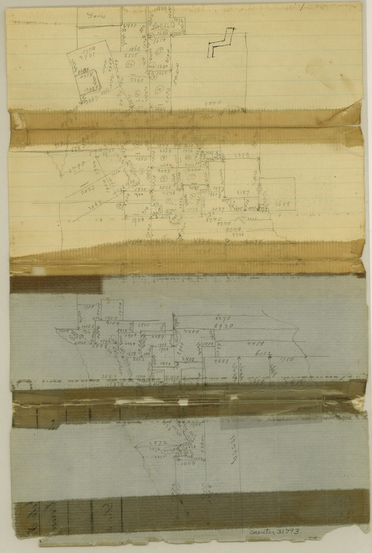
Montgomery County Sketch File 8
[Office sketch of area in southeast part of county]
-
Map/Doc
31793
-
Collection
General Map Collection
-
Object Dates
12/31/1862 (Creation Date)
-
Counties
Montgomery
-
Subjects
Surveying Sketch File
-
Height x Width
12.2 x 8.2 inches
31.0 x 20.8 cm
-
Medium
paper, manuscript
Part of: General Map Collection
Denton County Boundary File 4 and 4a and 4b and 4c

Print $14.00
- Digital $50.00
Denton County Boundary File 4 and 4a and 4b and 4c
Size 11.2 x 8.5 inches
Map/Doc 52441
Map of San Jacinto County

Print $20.00
- Digital $50.00
Map of San Jacinto County
1872
Size 22.0 x 18.6 inches
Map/Doc 1346
Mills County Working Sketch 10

Print $20.00
- Digital $50.00
Mills County Working Sketch 10
1928
Size 29.0 x 22.0 inches
Map/Doc 71040
[Surveys along the Neches River in Jasper District]
![69733, [Surveys along the Neches River in Jasper District], General Map Collection](https://historictexasmaps.com/wmedia_w700/maps/69733.tif.jpg)
Print $2.00
- Digital $50.00
[Surveys along the Neches River in Jasper District]
1847
Size 9.2 x 6.8 inches
Map/Doc 69733
Mason County Sketch File 14

Print $20.00
- Digital $50.00
Mason County Sketch File 14
1884
Size 15.2 x 16.4 inches
Map/Doc 12035
Armstrong County Boundary File 5

Print $8.00
- Digital $50.00
Armstrong County Boundary File 5
Size 11.2 x 8.9 inches
Map/Doc 50149
Flight Mission No. CGI-3N, Frame 164, Cameron County

Print $20.00
- Digital $50.00
Flight Mission No. CGI-3N, Frame 164, Cameron County
1954
Size 18.5 x 22.2 inches
Map/Doc 84628
Red River County Working Sketch 16

Print $20.00
- Digital $50.00
Red River County Working Sketch 16
1953
Size 21.8 x 23.4 inches
Map/Doc 71999
Flight Mission No. CLL-11AA, Frame 172, Willacy County

Print $20.00
- Digital $50.00
Flight Mission No. CLL-11AA, Frame 172, Willacy County
1962
Size 18.4 x 18.2 inches
Map/Doc 87091
Kimble County Rolled Sketch 37

Print $20.00
- Digital $50.00
Kimble County Rolled Sketch 37
1982
Size 21.6 x 28.0 inches
Map/Doc 6527
Robertson County Sketch File 9

Print $68.00
Robertson County Sketch File 9
1846
Size 10.2 x 8.3 inches
Map/Doc 35366
Canada, United States of America, Estados Unidos Mexicanos

Print $20.00
- Digital $50.00
Canada, United States of America, Estados Unidos Mexicanos
Size 41.9 x 36.1 inches
Map/Doc 96512
You may also like
Andrews County Rolled Sketch 8

Print $40.00
- Digital $50.00
Andrews County Rolled Sketch 8
1928
Size 31.4 x 54.0 inches
Map/Doc 8388
Tarrant County Sketch File 27

Print $4.00
- Digital $50.00
Tarrant County Sketch File 27
Size 8.0 x 9.6 inches
Map/Doc 37741
Leon County Sketch File 33

Print $6.00
- Digital $50.00
Leon County Sketch File 33
1955
Size 14.2 x 9.7 inches
Map/Doc 29834
Right of Way and Track Map, Texas & New Orleans R.R. Co. operated by the T. & N. O. R.R. Co., Dallas-Sabine Branch

Print $40.00
- Digital $50.00
Right of Way and Track Map, Texas & New Orleans R.R. Co. operated by the T. & N. O. R.R. Co., Dallas-Sabine Branch
1918
Size 24.6 x 56.9 inches
Map/Doc 64629
The Republic County of San Augustine. Boundaries Defined, December 14, 1837

Print $20.00
The Republic County of San Augustine. Boundaries Defined, December 14, 1837
2020
Size 18.8 x 21.7 inches
Map/Doc 96271
[Cotton Belt, St. Louis Southwestern Railway of Texas, Alignment through Smith County]
![64377, [Cotton Belt, St. Louis Southwestern Railway of Texas, Alignment through Smith County], General Map Collection](https://historictexasmaps.com/wmedia_w700/maps/64377.tif.jpg)
Print $20.00
- Digital $50.00
[Cotton Belt, St. Louis Southwestern Railway of Texas, Alignment through Smith County]
1903
Size 21.7 x 30.0 inches
Map/Doc 64377
Nolan County Working Sketch 4

Print $20.00
- Digital $50.00
Nolan County Working Sketch 4
1948
Size 21.6 x 28.9 inches
Map/Doc 71295
Leon County Rolled Sketch 26

Print $40.00
- Digital $50.00
Leon County Rolled Sketch 26
Size 24.0 x 54.5 inches
Map/Doc 9435
Laguna Madre, Texas from Latitude 26° 20' to 26° 27'

Print $40.00
- Digital $50.00
Laguna Madre, Texas from Latitude 26° 20' to 26° 27'
1879
Size 32.7 x 55.0 inches
Map/Doc 73498
[B. S. & F. Block 9 and surrounding area]
![93070, [B. S. & F. Block 9 and surrounding area], Twichell Survey Records](https://historictexasmaps.com/wmedia_w700/maps/93070-1.tif.jpg)
Print $20.00
- Digital $50.00
[B. S. & F. Block 9 and surrounding area]
Size 18.3 x 26.1 inches
Map/Doc 93070
Fannin County Boundary File 1

Print $14.00
- Digital $50.00
Fannin County Boundary File 1
Size 13.2 x 8.6 inches
Map/Doc 53272
Walker County Working Sketch 12

Print $20.00
- Digital $50.00
Walker County Working Sketch 12
1943
Size 23.1 x 32.9 inches
Map/Doc 72292