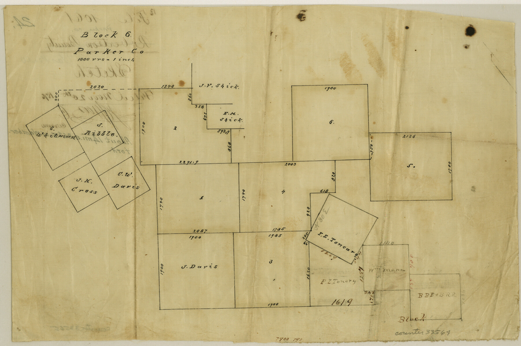
Parker County Sketch File 24
[Sketch of T.&P. RR. Co. surveys southeast of Weatherford]
-
Map/Doc
33564
-
Collection
General Map Collection
-
Object Dates
11/20/1876 (File Date)
-
Counties
Parker
-
Subjects
Surveying Sketch File
-
Height x Width
8.6 x 13.0 inches
21.8 x 33.0 cm
-
Medium
paper, manuscript
-
Scale
1" = 1000 varas
Part of: General Map Collection
Johnson County Working Sketch 9

Print $20.00
- Digital $50.00
Johnson County Working Sketch 9
1953
Size 20.4 x 15.2 inches
Map/Doc 66622
Flight Mission No. CRE-1R, Frame 57, Jackson County

Print $20.00
- Digital $50.00
Flight Mission No. CRE-1R, Frame 57, Jackson County
1956
Size 17.3 x 22.4 inches
Map/Doc 85325
Harris County Rolled Sketch 44

Print $20.00
- Digital $50.00
Harris County Rolled Sketch 44
Size 22.5 x 29.9 inches
Map/Doc 6102
Sutton County Sketch File 33B

Print $20.00
- Digital $50.00
Sutton County Sketch File 33B
1934
Size 17.1 x 29.5 inches
Map/Doc 12386
Flight Mission No. DQN-1K, Frame 42, Calhoun County

Print $20.00
- Digital $50.00
Flight Mission No. DQN-1K, Frame 42, Calhoun County
1953
Size 18.5 x 18.7 inches
Map/Doc 84142
Henderson County Sketch File 24

Print $20.00
- Digital $50.00
Henderson County Sketch File 24
1974
Size 27.4 x 24.1 inches
Map/Doc 11759
Map of a part of Fisher and Miller's Colony - Harvey's District

Print $20.00
- Digital $50.00
Map of a part of Fisher and Miller's Colony - Harvey's District
1856
Size 18.6 x 24.5 inches
Map/Doc 4658
Colorado County Boundary File 1

Print $8.00
- Digital $50.00
Colorado County Boundary File 1
Size 14.0 x 8.6 inches
Map/Doc 51768
Flight Mission No. CRK-8P, Frame 106, Refugio County

Print $20.00
- Digital $50.00
Flight Mission No. CRK-8P, Frame 106, Refugio County
1956
Size 18.3 x 22.1 inches
Map/Doc 86967
Hutchinson County

Print $20.00
- Digital $50.00
Hutchinson County
1922
Size 44.4 x 36.5 inches
Map/Doc 73188
El Paso County Sketch File 25

Print $20.00
- Digital $50.00
El Paso County Sketch File 25
Size 18.5 x 22.3 inches
Map/Doc 11456
Zavalla County

Print $20.00
- Digital $50.00
Zavalla County
1878
Size 22.7 x 26.9 inches
Map/Doc 4179
You may also like
Clay County Sketch File 32

Print $22.00
- Digital $50.00
Clay County Sketch File 32
Size 8.6 x 7.8 inches
Map/Doc 18458
Controlled Mosaic by Jack Amman Photogrammetric Engineers, Inc - Sheet 54

Print $20.00
- Digital $50.00
Controlled Mosaic by Jack Amman Photogrammetric Engineers, Inc - Sheet 54
1954
Size 20.0 x 24.0 inches
Map/Doc 83513
Travis County Sketch File 10

Print $16.00
- Digital $50.00
Travis County Sketch File 10
1863
Size 7.7 x 13.7 inches
Map/Doc 38292
Renderbrook Ranch, Mitchell, Sterling & Coke Counties, Texas Owned by I. L. Ellwood, Estate

Print $40.00
- Digital $50.00
Renderbrook Ranch, Mitchell, Sterling & Coke Counties, Texas Owned by I. L. Ellwood, Estate
Size 50.1 x 40.0 inches
Map/Doc 89873
Williamson County Sketch File 27

Print $12.00
- Digital $50.00
Williamson County Sketch File 27
1940
Size 14.3 x 8.7 inches
Map/Doc 40371
Andrews County Working Sketch 27

Print $20.00
- Digital $50.00
Andrews County Working Sketch 27
1984
Size 19.1 x 16.2 inches
Map/Doc 67073
Denton County Working Sketch 22

Print $20.00
- Digital $50.00
Denton County Working Sketch 22
1983
Size 36.1 x 34.0 inches
Map/Doc 68627
Gillespie County Working Sketch 7

Print $40.00
- Digital $50.00
Gillespie County Working Sketch 7
1984
Size 57.5 x 43.2 inches
Map/Doc 63170

Flight Mission No. CUG-1P, Frame 105, Kleberg County

Print $20.00
- Digital $50.00
Flight Mission No. CUG-1P, Frame 105, Kleberg County
1956
Size 18.5 x 22.3 inches
Map/Doc 86155
Croquis del terro, camino, bosques, barrancas, cerro y beredas de Cerro-gordo con las posiciones de las topas Mejicanas y Americanas con sus respectivos Generales Cuerpos y Baterias el dis 18 de Abril de 1847

Print $20.00
Croquis del terro, camino, bosques, barrancas, cerro y beredas de Cerro-gordo con las posiciones de las topas Mejicanas y Americanas con sus respectivos Generales Cuerpos y Baterias el dis 18 de Abril de 1847
1847
Size 20.1 x 26.0 inches
Map/Doc 97343
Travis County

Print $40.00
- Digital $50.00
Travis County
1936
Size 47.0 x 53.7 inches
Map/Doc 73305