[Surveys along Elm Creek]
Atlas G, Page 7, Sketch 8 (G-7-8)
G-7-8
-
Map/Doc
347
-
Collection
General Map Collection
-
Object Dates
1846 (Creation Date)
-
People and Organizations
W. Dickerson (Surveyor/Engineer)
-
Counties
Trinity
-
Subjects
Atlas
-
Height x Width
12.0 x 7.4 inches
30.5 x 18.8 cm
-
Medium
paper, manuscript
-
Comments
Conserved in 2003.
-
Features
Elm Creek
Neches River
Part of: General Map Collection
Grayson County, Fannin District
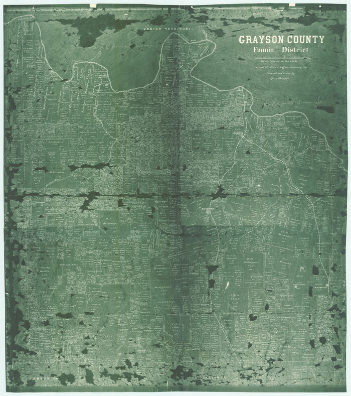

Print $20.00
- Digital $50.00
Grayson County, Fannin District
1885
Size 39.6 x 35.1 inches
Map/Doc 81942
Stephens County Sketch File 4


Print $4.00
- Digital $50.00
Stephens County Sketch File 4
Size 7.9 x 12.1 inches
Map/Doc 37017
Dallam County Sketch File 15


Print $18.00
- Digital $50.00
Dallam County Sketch File 15
1990
Size 14.4 x 9.0 inches
Map/Doc 20381
The Making of America - The Southwest


The Making of America - The Southwest
Size 20.8 x 27.5 inches
Map/Doc 95947
Harris County Rolled Sketch 91

Print $407.00
- Digital $50.00
Harris County Rolled Sketch 91
1981
Size 31.0 x 24.3 inches
Map/Doc 6130
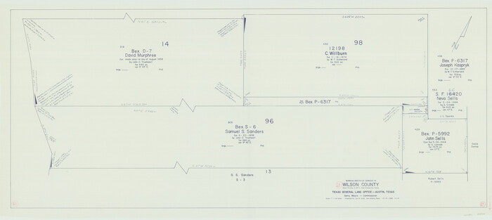
Wilson County Working Sketch 13

Print $40.00
- Digital $50.00
Wilson County Working Sketch 13
1985
Size 23.9 x 53.5 inches
Map/Doc 72593
Somervell County Sketch File 7


Print $8.00
- Digital $50.00
Somervell County Sketch File 7
1987
Size 11.4 x 8.9 inches
Map/Doc 36850
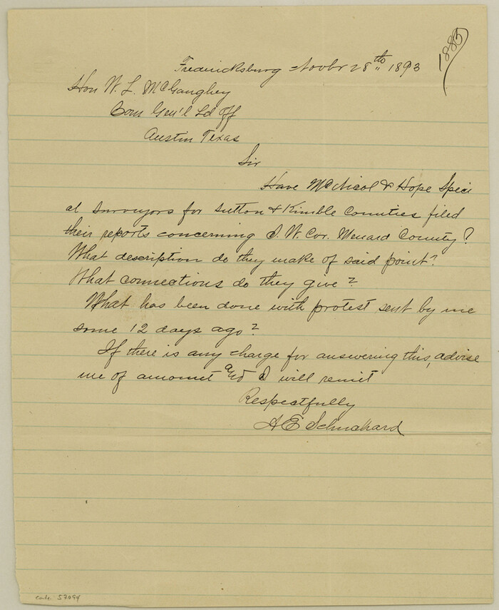
Menard County Boundary File 9

Print $4.00
- Digital $50.00
Menard County Boundary File 9
Size 9.9 x 8.1 inches
Map/Doc 57094
Randall County Rolled Sketch 8

Print $20.00
- Digital $50.00
Randall County Rolled Sketch 8
Size 25.7 x 35.6 inches
Map/Doc 7428
Map of Zavalla County


Print $20.00
- Digital $50.00
Map of Zavalla County
1862
Size 24.2 x 20.5 inches
Map/Doc 4180
[Surveys along Richland Creek]
![322, [Surveys along Richland Creek], General Map Collection](https://historictexasmaps.com/wmedia_w700/maps/322.tif.jpg)
![322, [Surveys along Richland Creek], General Map Collection](https://historictexasmaps.com/wmedia_w700/maps/322.tif.jpg)
Print $2.00
- Digital $50.00
[Surveys along Richland Creek]
Size 6.0 x 5.0 inches
Map/Doc 322
Bee County Sketch File 23


Print $8.00
- Digital $50.00
Bee County Sketch File 23
1878
Size 10.0 x 8.1 inches
Map/Doc 14318
You may also like
Duval County Rolled Sketch 34


Print $20.00
- Digital $50.00
Duval County Rolled Sketch 34
1951
Size 24.3 x 37.6 inches
Map/Doc 5749
Floyd County Sketch File 17

Print $12.00
- Digital $50.00
Floyd County Sketch File 17
1913
Size 8.3 x 5.4 inches
Map/Doc 22747
Nueces County Rolled Sketch 110

Print $20.00
- Digital $50.00
Nueces County Rolled Sketch 110
1990
Size 24.1 x 37.5 inches
Map/Doc 7117
Wichita County Working Sketch 14


Print $20.00
- Digital $50.00
Wichita County Working Sketch 14
1922
Size 20.8 x 42.1 inches
Map/Doc 72524
Lynn County Rolled Sketch WR


Print $20.00
- Digital $50.00
Lynn County Rolled Sketch WR
Size 14.7 x 23.8 inches
Map/Doc 6656
Navigation Maps of Gulf Intracoastal Waterway, Port Arthur to Brownsville, Texas


Print $4.00
- Digital $50.00
Navigation Maps of Gulf Intracoastal Waterway, Port Arthur to Brownsville, Texas
1951
Size 16.7 x 21.5 inches
Map/Doc 65434
Deaf Smith County Working Sketch Graphic Index

Print $40.00
- Digital $50.00
Deaf Smith County Working Sketch Graphic Index
1926
Size 40.1 x 52.6 inches
Map/Doc 76519
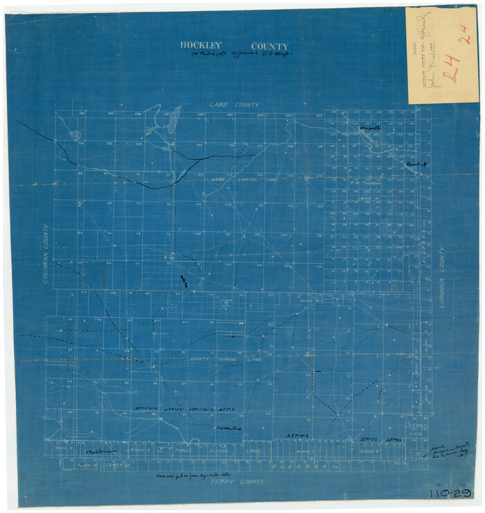
Hockley County Map

Print $20.00
- Digital $50.00
Hockley County Map
Size 20.4 x 21.4 inches
Map/Doc 91195
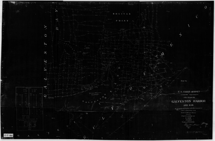
Section IX, Galveston Harbor and Bar

Print $20.00
- Digital $50.00
Section IX, Galveston Harbor and Bar
1850
Size 30.0 x 45.7 inches
Map/Doc 69855
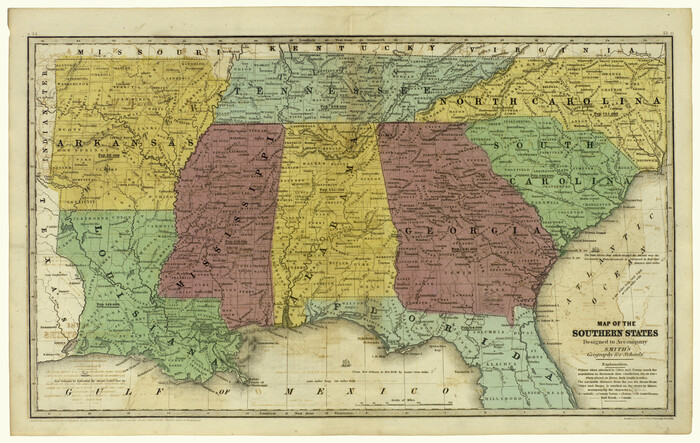
Map of the Southern States designed to accompany Smith's Geography for Schools

Print $20.00
- Digital $50.00
Map of the Southern States designed to accompany Smith's Geography for Schools
1850
Size 12.1 x 19.2 inches
Map/Doc 93888
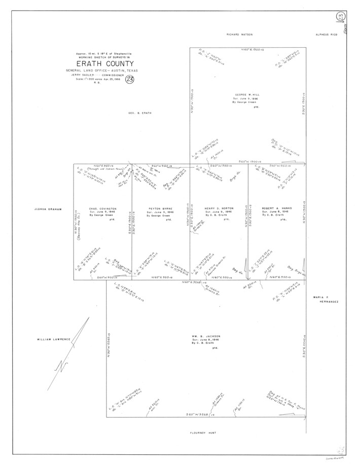
Erath County Working Sketch 23

Print $20.00
- Digital $50.00
Erath County Working Sketch 23
1966
Size 38.2 x 29.0 inches
Map/Doc 69104
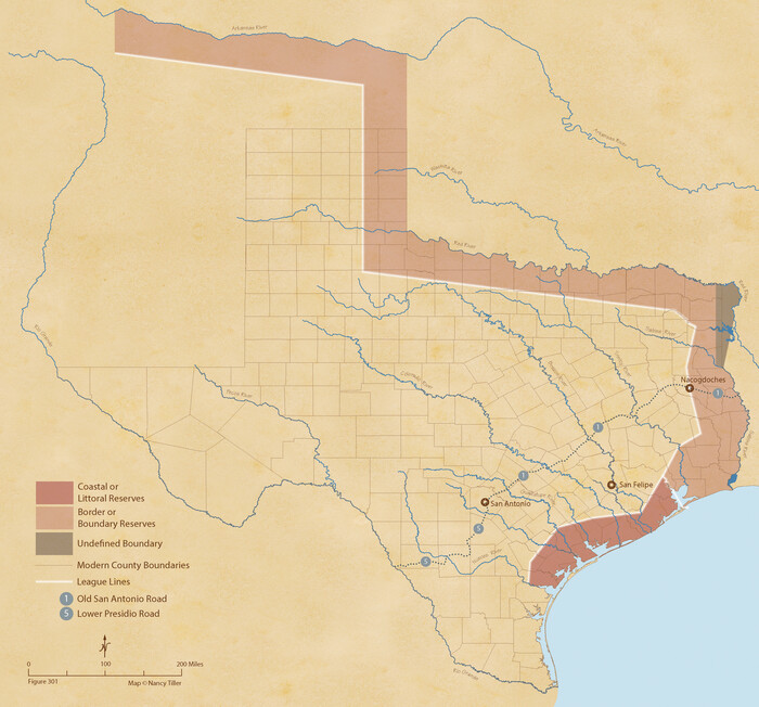
The Coastal and Border League Lines

Print $20.00
The Coastal and Border League Lines
2020
Size 20.2 x 21.6 inches
Map/Doc 95977
![347, [Surveys along Elm Creek], General Map Collection](https://historictexasmaps.com/wmedia_w1800h1800/maps/347.tif.jpg)