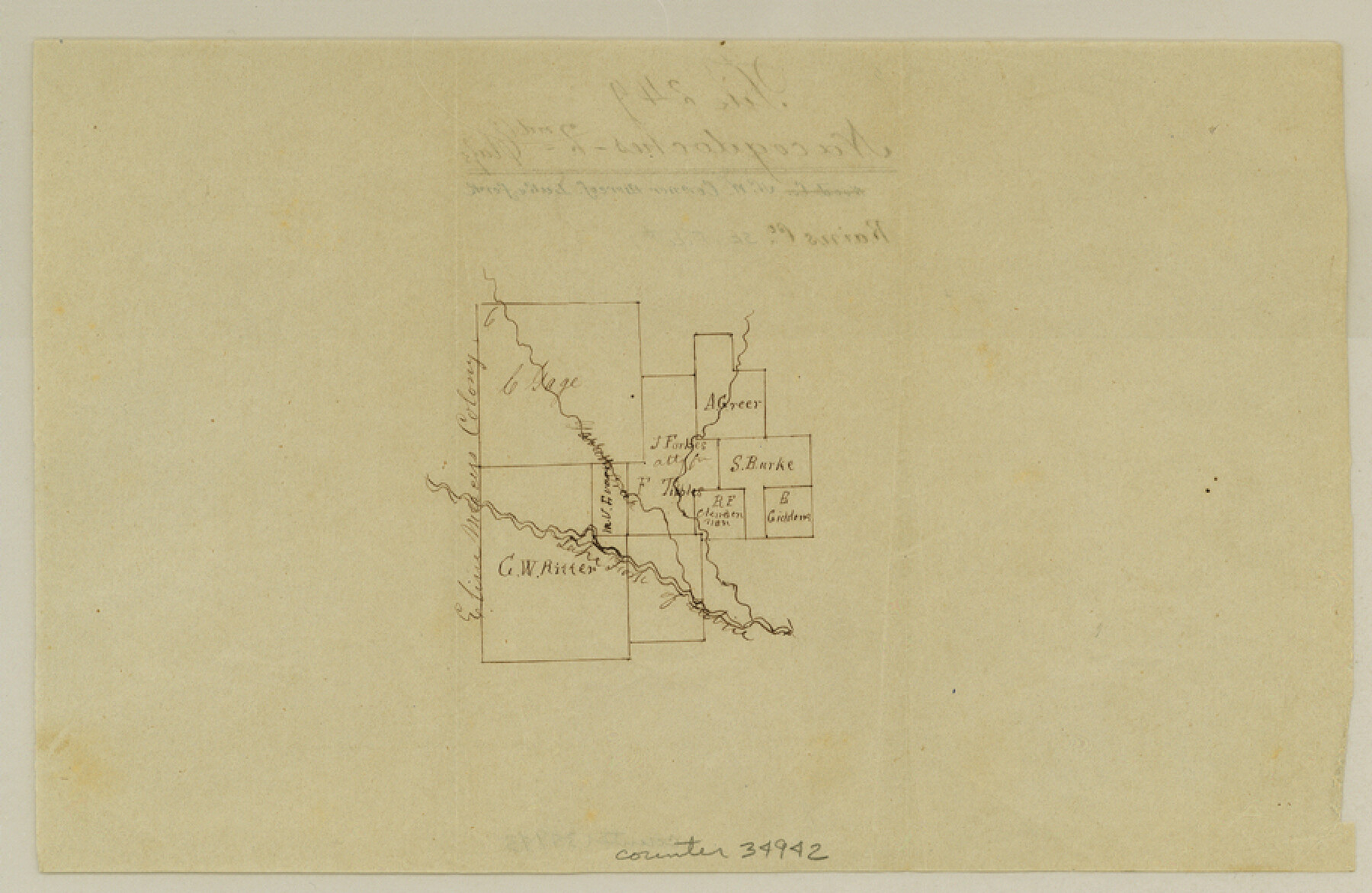
Rains County Sketch File 1
[Sketch of surveys on Lake Fork Creek northeast from Emory]
-
Map/Doc
34942
-
Collection
General Map Collection
-
Counties
Rains
-
Subjects
Surveying Sketch File
-
Height x Width
5.9 x 9.1 inches
15.0 x 23.1 cm
-
Medium
paper, manuscript
-
Features
Lake Fork of Sabine River
Part of: General Map Collection
Texas Gulf Coast Map from the Sabine River to the Rio Grande as subdivided for mineral development

Print $40.00
- Digital $50.00
Texas Gulf Coast Map from the Sabine River to the Rio Grande as subdivided for mineral development
1948
Size 60.9 x 36.7 inches
Map/Doc 2909
Travis County Sketch File ABC

Print $20.00
- Digital $50.00
Travis County Sketch File ABC
Size 23.8 x 19.0 inches
Map/Doc 12480
Taylor County Working Sketch 7

Print $20.00
- Digital $50.00
Taylor County Working Sketch 7
1953
Size 41.3 x 16.1 inches
Map/Doc 69617
Uvalde County Sketch File A

Print $40.00
- Digital $50.00
Uvalde County Sketch File A
1912
Size 23.0 x 18.0 inches
Map/Doc 12537
Flight Mission No. BQR-22K, Frame 40, Brazoria County

Print $20.00
- Digital $50.00
Flight Mission No. BQR-22K, Frame 40, Brazoria County
1953
Size 18.6 x 22.3 inches
Map/Doc 84124
Gillespie County Working Sketch 6

Print $20.00
- Digital $50.00
Gillespie County Working Sketch 6
1981
Size 22.5 x 21.6 inches
Map/Doc 63169
Pecos County Working Sketch 139

Print $20.00
- Digital $50.00
Pecos County Working Sketch 139
1982
Size 31.1 x 24.9 inches
Map/Doc 71613
Brewster County Rolled Sketch 24F

Print $20.00
- Digital $50.00
Brewster County Rolled Sketch 24F
1910
Size 14.5 x 17.7 inches
Map/Doc 5213
Southern Pacific R.R. and connections

Print $20.00
- Digital $50.00
Southern Pacific R.R. and connections
1883
Size 27.9 x 32.5 inches
Map/Doc 94270
Map of the Location Survey of the Hearne & Brazos Valley Railroad

Print $40.00
- Digital $50.00
Map of the Location Survey of the Hearne & Brazos Valley Railroad
1891
Size 40.7 x 122.9 inches
Map/Doc 64347
[Surveys along the San Fernando and Santa Gertrudis, San Patricio District]
![290, [Surveys along the San Fernando and Santa Gertrudis, San Patricio District], General Map Collection](https://historictexasmaps.com/wmedia_w700/maps/290.tif.jpg)
Print $20.00
- Digital $50.00
[Surveys along the San Fernando and Santa Gertrudis, San Patricio District]
1847
Size 13.2 x 16.4 inches
Map/Doc 290
Flight Mission No. BRE-1P, Frame 75, Nueces County

Print $20.00
- Digital $50.00
Flight Mission No. BRE-1P, Frame 75, Nueces County
1956
Size 18.4 x 22.2 inches
Map/Doc 86657
You may also like
Hays County Boundary File 4

Print $4.00
- Digital $50.00
Hays County Boundary File 4
Size 5.1 x 8.9 inches
Map/Doc 54607
Crockett County Working Sketch 52

Print $20.00
- Digital $50.00
Crockett County Working Sketch 52
1941
Size 26.0 x 33.5 inches
Map/Doc 68385
Crockett County Working Sketch 63

Print $20.00
- Digital $50.00
Crockett County Working Sketch 63
1957
Size 21.3 x 36.1 inches
Map/Doc 68396
Menard County Sketch File 25A

Print $20.00
- Digital $50.00
Menard County Sketch File 25A
1936
Size 23.0 x 17.8 inches
Map/Doc 12078
Goliad County Sketch File 8

Print $4.00
- Digital $50.00
Goliad County Sketch File 8
1848
Size 9.0 x 11.1 inches
Map/Doc 24221

Intracoastal Waterway in Texas - Corpus Christi to Point Isabel including Arroyo Colorado to Mo. Pac. R.R. Bridge Near Harlingen

Print $20.00
- Digital $50.00
Intracoastal Waterway in Texas - Corpus Christi to Point Isabel including Arroyo Colorado to Mo. Pac. R.R. Bridge Near Harlingen
1933
Size 28.2 x 41.0 inches
Map/Doc 61854
Galveston County Sketch File 7

Print $20.00
- Digital $50.00
Galveston County Sketch File 7
1859
Size 12.8 x 17.0 inches
Map/Doc 23364
[Sketch for Mineral Application 33721 - 33725 Incl. - Padre and Mustang Island]
![2879, [Sketch for Mineral Application 33721 - 33725 Incl. - Padre and Mustang Island], General Map Collection](https://historictexasmaps.com/wmedia_w700/maps/2879.tif.jpg)
Print $20.00
- Digital $50.00
[Sketch for Mineral Application 33721 - 33725 Incl. - Padre and Mustang Island]
1942
Size 29.4 x 22.2 inches
Map/Doc 2879
Bowie County Sketch File 10

Print $8.00
- Digital $50.00
Bowie County Sketch File 10
1992
Size 11.1 x 8.8 inches
Map/Doc 14912
Ochiltree County State of Texas

Print $20.00
- Digital $50.00
Ochiltree County State of Texas
1889
Size 25.5 x 19.0 inches
Map/Doc 4609
[Township 3 North, Blocks 33 and 34, T. & P. RR. Company; Township 4 North, Block 33, T. & P. RR. Company]
![92564, [Township 3 North, Blocks 33 and 34, T. & P. RR. Company; Township 4 North, Block 33, T. & P. RR. Company], Twichell Survey Records](https://historictexasmaps.com/wmedia_w700/maps/92564-1.tif.jpg)
Print $20.00
- Digital $50.00
[Township 3 North, Blocks 33 and 34, T. & P. RR. Company; Township 4 North, Block 33, T. & P. RR. Company]
1911
Size 18.6 x 24.8 inches
Map/Doc 92564