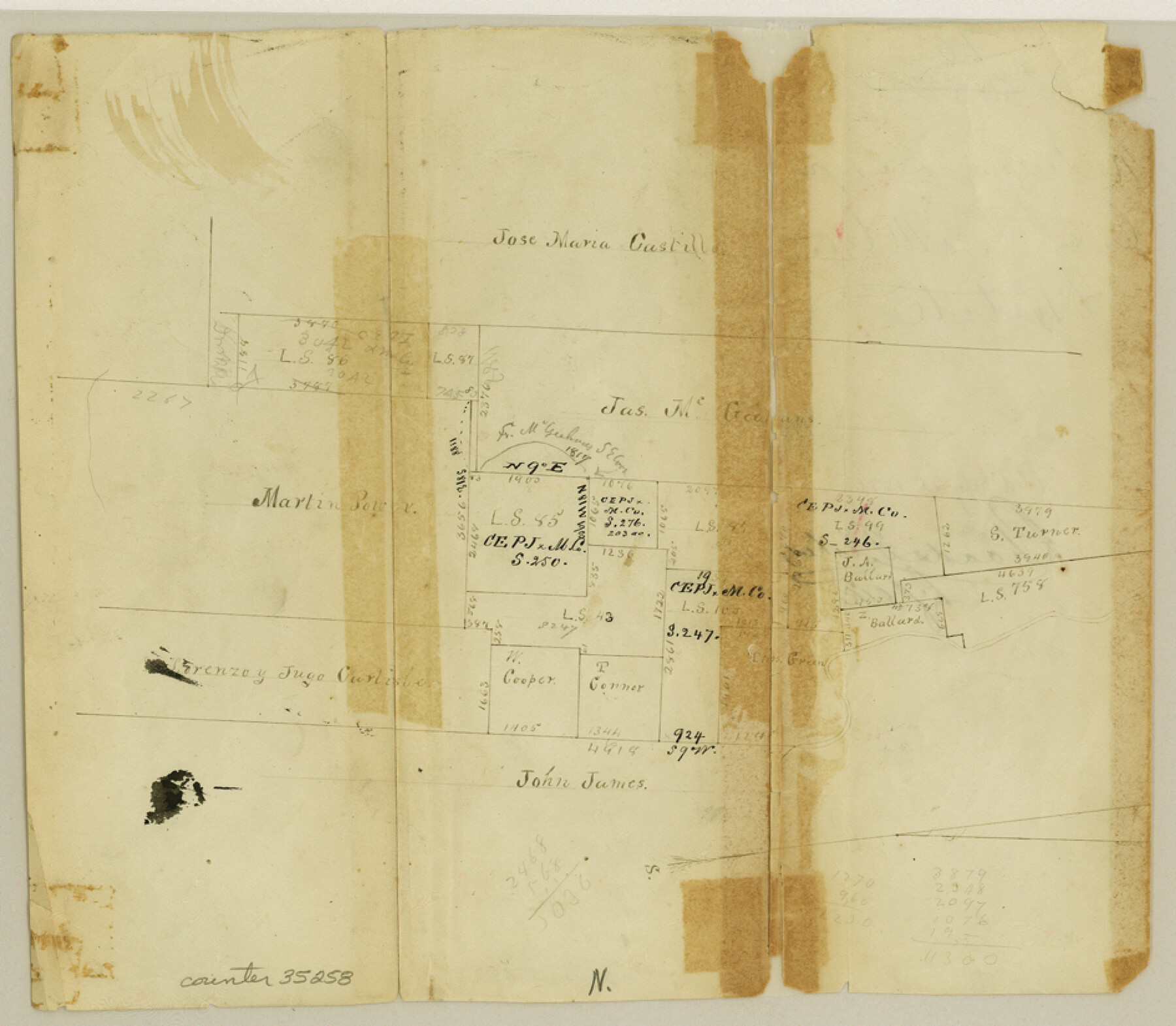
Refugio County Sketch File 10
[Sketch of C. E. P. I. & M. Co. surveys west of Refugio near the Bee County line]
-
Map/Doc
35258
-
Collection
General Map Collection
-
Object Dates
7/26/1876 (File Date)
-
Counties
Refugio Bee
-
Subjects
Surveying Sketch File
-
Height x Width
8.2 x 9.4 inches
20.8 x 23.9 cm
-
Medium
paper, manuscript
Part of: General Map Collection
Flight Mission No. BQR-9K, Frame 48, Brazoria County

Print $20.00
- Digital $50.00
Flight Mission No. BQR-9K, Frame 48, Brazoria County
1952
Size 18.7 x 22.2 inches
Map/Doc 84052
Map of Dickens County

Print $20.00
- Digital $50.00
Map of Dickens County
1899
Size 41.1 x 37.7 inches
Map/Doc 4933
Grimes County Working Sketch 5

Print $40.00
- Digital $50.00
Grimes County Working Sketch 5
1949
Size 43.6 x 83.2 inches
Map/Doc 63296
Scurry County Rolled Sketch 10

Print $20.00
- Digital $50.00
Scurry County Rolled Sketch 10
1966
Size 22.7 x 18.3 inches
Map/Doc 7770
Ward County Rolled Sketch 12

Print $20.00
- Digital $50.00
Ward County Rolled Sketch 12
Size 38.2 x 47.8 inches
Map/Doc 10107
Somervell County Working Sketch 6

Print $20.00
- Digital $50.00
Somervell County Working Sketch 6
1992
Size 23.2 x 21.5 inches
Map/Doc 63910
Clay County Sketch File 43

Print $40.00
- Digital $50.00
Clay County Sketch File 43
1891
Size 23.2 x 33.7 inches
Map/Doc 11094
General Homes Free Houston Area Map

General Homes Free Houston Area Map
Size 27.3 x 42.5 inches
Map/Doc 94394
Presidio County Sketch File 102

Print $4.00
- Digital $50.00
Presidio County Sketch File 102
Size 11.3 x 8.8 inches
Map/Doc 34793

Goliad County Working Sketch 17

Print $20.00
- Digital $50.00
Goliad County Working Sketch 17
1949
Size 21.8 x 22.2 inches
Map/Doc 63207
Amistad International Reservoir on Rio Grande 80

Print $20.00
- Digital $50.00
Amistad International Reservoir on Rio Grande 80
1949
Size 28.4 x 40.2 inches
Map/Doc 75509
You may also like
Hutchinson County Sketch File 28

Print $6.00
- Digital $50.00
Hutchinson County Sketch File 28
1926
Size 11.3 x 8.8 inches
Map/Doc 27261
General Highway Map, Upshur County, Gregg County, Texas

Print $20.00
General Highway Map, Upshur County, Gregg County, Texas
1939
Size 24.9 x 18.6 inches
Map/Doc 79105

Crockett County Working Sketch 79

Print $40.00
- Digital $50.00
Crockett County Working Sketch 79
1973
Size 46.2 x 76.4 inches
Map/Doc 68412
Newton County Sketch File 13

Print $22.00
- Digital $50.00
Newton County Sketch File 13
Size 8.1 x 12.7 inches
Map/Doc 32386
Marion County Working Sketch 23

Print $20.00
- Digital $50.00
Marion County Working Sketch 23
1960
Size 24.4 x 25.9 inches
Map/Doc 70799
Leon County Texas

Print $20.00
- Digital $50.00
Leon County Texas
1896
Size 25.4 x 22.1 inches
Map/Doc 3806
Crockett County Sketch File 39

Print $20.00
- Digital $50.00
Crockett County Sketch File 39
1889
Size 19.7 x 32.6 inches
Map/Doc 11221
Wichita County Working Sketch 15

Print $20.00
- Digital $50.00
Wichita County Working Sketch 15
1919
Size 29.9 x 38.5 inches
Map/Doc 72525
Jeff Davis County Rolled Sketch 13A

Print $20.00
- Digital $50.00
Jeff Davis County Rolled Sketch 13A
1921
Size 19.0 x 23.1 inches
Map/Doc 6367
Webb County Sketch File 14b

Print $4.00
- Digital $50.00
Webb County Sketch File 14b
1897
Size 11.2 x 8.8 inches
Map/Doc 39812
