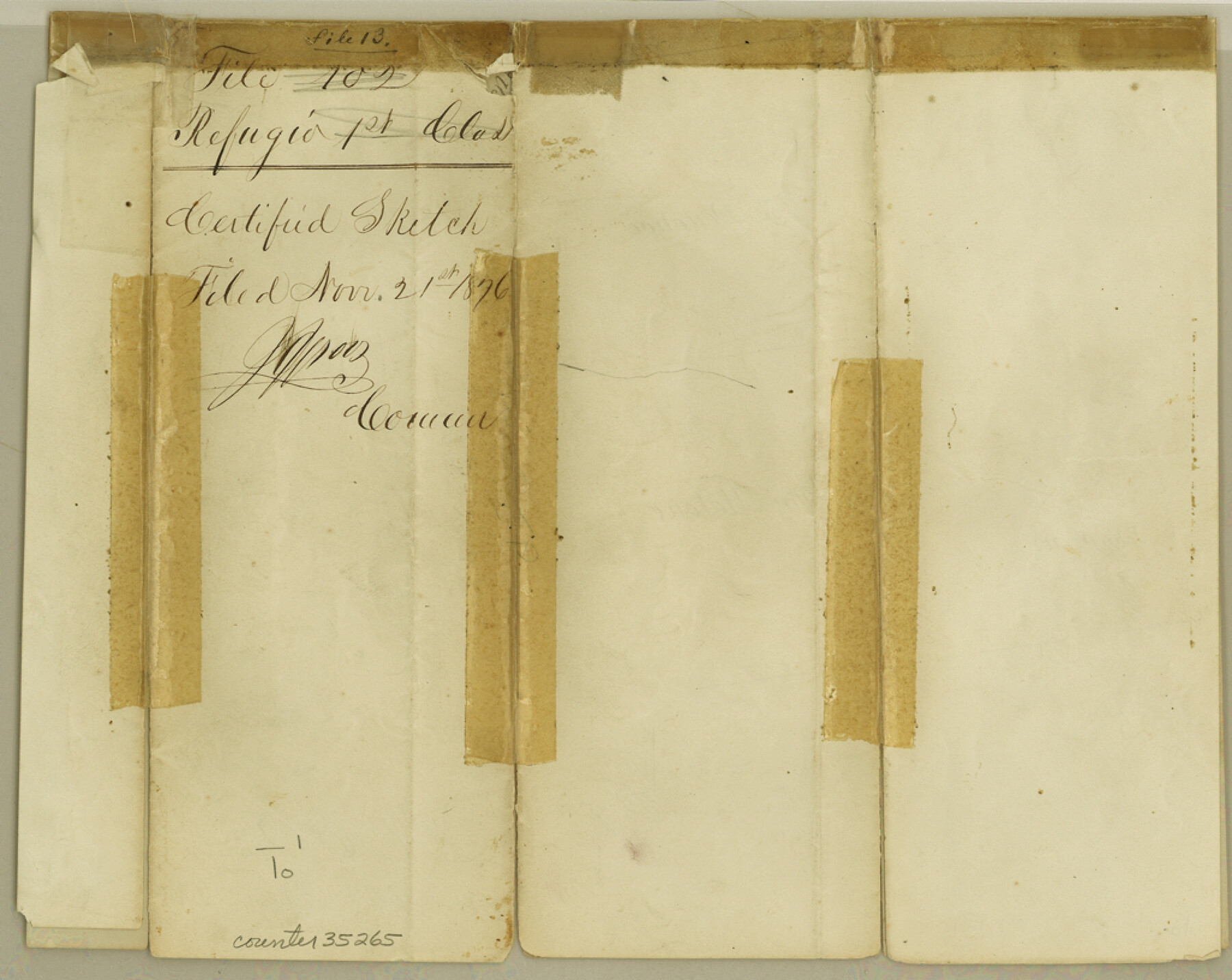
Refugio County Sketch File 13
[Sketch of surveys around the Wm. Donahoe survey in the north part of the county]
-
Map/Doc
35265
-
Collection
General Map Collection
-
Object Dates
11/21/1876 (File Date)
-
Counties
Refugio
-
Subjects
Surveying Sketch File
-
Height x Width
8.2 x 10.3 inches
20.8 x 26.2 cm
-
Medium
paper, manuscript
Part of: General Map Collection
Brazoria County Working Sketch 22

Print $20.00
- Digital $50.00
Brazoria County Working Sketch 22
1959
Size 27.0 x 25.3 inches
Map/Doc 67507
[Galveston, Harrisburg & San Antonio through El Paso County]
![64002, [Galveston, Harrisburg & San Antonio through El Paso County], General Map Collection](https://historictexasmaps.com/wmedia_w700/maps/64002.tif.jpg)
Print $20.00
- Digital $50.00
[Galveston, Harrisburg & San Antonio through El Paso County]
1907
Size 13.6 x 33.9 inches
Map/Doc 64002
Gillespie County

Print $40.00
- Digital $50.00
Gillespie County
1918
Size 39.6 x 49.5 inches
Map/Doc 66837
[Surveys along the Red River, Bois d'Arc Creek, Duck Creek, and Choctaw Bayou made under G.W. Smyth, Commissioner]
![74, [Surveys along the Red River, Bois d'Arc Creek, Duck Creek, and Choctaw Bayou made under G.W. Smyth, Commissioner], General Map Collection](https://historictexasmaps.com/wmedia_w700/maps/74.tif.jpg)
Print $20.00
- Digital $50.00
[Surveys along the Red River, Bois d'Arc Creek, Duck Creek, and Choctaw Bayou made under G.W. Smyth, Commissioner]
1834
Size 19.7 x 16.0 inches
Map/Doc 74
Partie du Mexique

Print $20.00
- Digital $50.00
Partie du Mexique
1827
Size 20.4 x 27.8 inches
Map/Doc 94072
Travis County Rolled Sketch 16

Print $20.00
- Digital $50.00
Travis County Rolled Sketch 16
1940
Size 21.0 x 18.4 inches
Map/Doc 8018
United States including territories and insular possessions showing the extent of public surveys, national parks, national forests, indian reservations, national wildlife refuges, and reclamation projects

Print $40.00
- Digital $50.00
United States including territories and insular possessions showing the extent of public surveys, national parks, national forests, indian reservations, national wildlife refuges, and reclamation projects
1953
Size 64.5 x 44.5 inches
Map/Doc 65795
Histoire de la Louisiane et de la Cession de Cette Colonie par la France aux États-Unis de l'Amérique Septentrionale

Histoire de la Louisiane et de la Cession de Cette Colonie par la France aux États-Unis de l'Amérique Septentrionale
1829
Map/Doc 97259
[Surveys between the Lavaca River and Arenosa Creek]
![3184, [Surveys between the Lavaca River and Arenosa Creek], General Map Collection](https://historictexasmaps.com/wmedia_w700/maps/3184.tif.jpg)
Print $20.00
- Digital $50.00
[Surveys between the Lavaca River and Arenosa Creek]
1840
Size 25.6 x 18.9 inches
Map/Doc 3184
Gillespie County Working Sketch 10

Print $20.00
- Digital $50.00
Gillespie County Working Sketch 10
1994
Size 45.0 x 35.1 inches
Map/Doc 63173
Hudspeth County Working Sketch 23

Print $40.00
- Digital $50.00
Hudspeth County Working Sketch 23
1967
Size 52.7 x 34.3 inches
Map/Doc 69650
Fractional Township No. 9 South Range No. 8 East of the Indian Meridian, Indian Territory

Print $20.00
- Digital $50.00
Fractional Township No. 9 South Range No. 8 East of the Indian Meridian, Indian Territory
1898
Size 19.2 x 24.4 inches
Map/Doc 75215
You may also like

Culberson County Working Sketch Graphic Index, Sheet B (Sketches 41 to Most Recent)

Print $40.00
- Digital $50.00
Culberson County Working Sketch Graphic Index, Sheet B (Sketches 41 to Most Recent)
1943
Size 52.5 x 32.5 inches
Map/Doc 76515
[Block Y2 and Part of Block 1, B. & B.]
![91169, [Block Y2 and Part of Block 1, B. & B.], Twichell Survey Records](https://historictexasmaps.com/wmedia_w700/maps/91169-1.tif.jpg)
Print $20.00
- Digital $50.00
[Block Y2 and Part of Block 1, B. & B.]
Size 26.2 x 17.6 inches
Map/Doc 91169
Crockett County Rolled Sketch 60

Print $20.00
- Digital $50.00
Crockett County Rolled Sketch 60
Size 18.7 x 18.9 inches
Map/Doc 5603
Johnson County Sketch File 22

Print $20.00
- Digital $50.00
Johnson County Sketch File 22
1873
Size 18.8 x 16.2 inches
Map/Doc 11891
[East half of Crockett County]
![92997, [East half of Crockett County], Twichell Survey Records](https://historictexasmaps.com/wmedia_w700/maps/92997-1.tif.jpg)
Print $20.00
- Digital $50.00
[East half of Crockett County]
Size 15.2 x 21.9 inches
Map/Doc 92997
Val Verde County Sketch File XX

Print $20.00
- Digital $50.00
Val Verde County Sketch File XX
Size 14.5 x 16.7 inches
Map/Doc 12546
General Highway Map, Gonzales County, Texas

Print $20.00
General Highway Map, Gonzales County, Texas
1940
Size 18.6 x 25.0 inches
Map/Doc 79102
Parker County Sketch File A

Print $4.00
- Digital $50.00
Parker County Sketch File A
1857
Size 7.9 x 8.2 inches
Map/Doc 33507
Flight Mission No. BRA-7M, Frame 27, Jefferson County

Print $20.00
- Digital $50.00
Flight Mission No. BRA-7M, Frame 27, Jefferson County
1953
Size 18.5 x 22.3 inches
Map/Doc 85478
General Highway Map, Zapata County, Texas

Print $20.00
General Highway Map, Zapata County, Texas
1940
Size 18.3 x 24.9 inches
Map/Doc 79288
Dimmit County Rolled Sketch 15

Print $20.00
- Digital $50.00
Dimmit County Rolled Sketch 15
1925
Size 32.8 x 23.4 inches
Map/Doc 5723