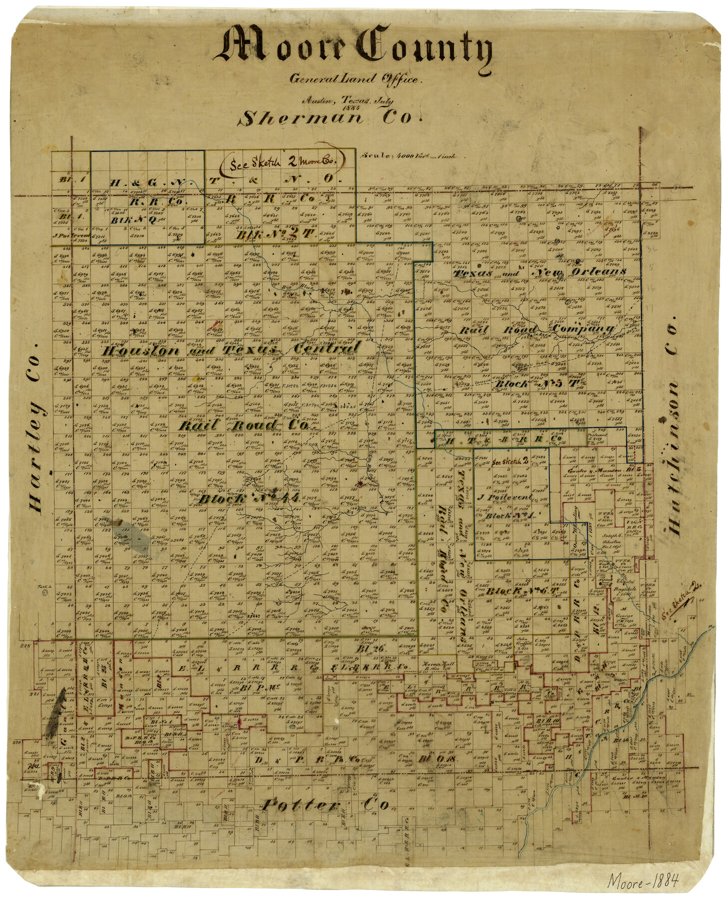
Moore County
-
Map/Doc
3899
-
Collection
General Map Collection
-
Object Dates
7/1884 (Creation Date)
-
People and Organizations
Texas General Land Office (Publisher)
-
Counties
Moore
-
Subjects
County
-
Height x Width
22.2 x 17.9 inches
56.4 x 45.5 cm
-
Features
Tascosa Road
Dodge Road
South Palo Duro Creek
Centre
Boggy Creek
Big Blue Creek
Little Blue Creek
Canadian River
Tascosa to Dodge Road
Daingerfield State Park
Part of: General Map Collection
Nolan County Sketch File 14

Print $20.00
- Digital $50.00
Nolan County Sketch File 14
1927
Size 32.6 x 20.0 inches
Map/Doc 42164
Sutton County Sketch File J

Print $4.00
- Digital $50.00
Sutton County Sketch File J
Size 14.5 x 8.8 inches
Map/Doc 37505
Crane County Sketch File 23a

Print $6.00
- Digital $50.00
Crane County Sketch File 23a
1931
Size 14.4 x 8.9 inches
Map/Doc 19593
Crosby County Sketch File 1b

Print $20.00
- Digital $50.00
Crosby County Sketch File 1b
Size 18.0 x 14.5 inches
Map/Doc 11244
Real County Working Sketch 62

Print $20.00
- Digital $50.00
Real County Working Sketch 62
1966
Size 26.4 x 23.2 inches
Map/Doc 71954
Cottle County Sketch File 6b

Print $2.00
- Digital $50.00
Cottle County Sketch File 6b
Size 8.8 x 14.1 inches
Map/Doc 19477
Crockett County Sketch File A

Print $40.00
- Digital $50.00
Crockett County Sketch File A
Size 21.9 x 7.5 inches
Map/Doc 19624
Flight Mission No. CUG-1P, Frame 162, Kleberg County

Print $20.00
- Digital $50.00
Flight Mission No. CUG-1P, Frame 162, Kleberg County
1956
Size 18.7 x 22.2 inches
Map/Doc 86169
Brazoria County Sketch File 24

Print $6.00
- Digital $50.00
Brazoria County Sketch File 24
1868
Size 11.3 x 10.4 inches
Map/Doc 15022
Panola County Sketch File 20

Print $22.00
- Digital $50.00
Panola County Sketch File 20
Size 8.3 x 14.6 inches
Map/Doc 33485
Wichita County Working Sketch 2

Print $20.00
- Digital $50.00
Wichita County Working Sketch 2
1913
Size 20.0 x 18.7 inches
Map/Doc 72511

You may also like
Flight Mission No. DIX-10P, Frame 176, Aransas County

Print $20.00
- Digital $50.00
Flight Mission No. DIX-10P, Frame 176, Aransas County
1956
Size 18.6 x 22.3 inches
Map/Doc 83966
Chambers County Working Sketch 19

Print $20.00
- Digital $50.00
Chambers County Working Sketch 19
1965
Size 23.5 x 25.8 inches
Map/Doc 68002
Gregg County Sketch File 9

Print $10.00
- Digital $50.00
Gregg County Sketch File 9
1931
Size 11.1 x 8.7 inches
Map/Doc 24586
Jeff Davis County Sketch File 25

Print $32.00
- Digital $50.00
Jeff Davis County Sketch File 25
1886
Size 11.3 x 8.5 inches
Map/Doc 27992
General Highway Map, Live Oak County, Texas

Print $20.00
General Highway Map, Live Oak County, Texas
1940
Size 18.5 x 24.8 inches
Map/Doc 79176
Culberson County Sketch File 10a

Print $20.00
- Digital $50.00
Culberson County Sketch File 10a
1926
Size 11.9 x 18.3 inches
Map/Doc 11264
Young County Rolled Sketch 14

Print $20.00
- Digital $50.00
Young County Rolled Sketch 14
1967
Size 17.7 x 22.7 inches
Map/Doc 8302
Fannin County Boundary File 1

Print $14.00
- Digital $50.00
Fannin County Boundary File 1
Size 13.2 x 8.6 inches
Map/Doc 53272
Ward County Working Sketch 1

Print $20.00
- Digital $50.00
Ward County Working Sketch 1
1937
Size 24.7 x 24.5 inches
Map/Doc 72307
Cottle County Rolled Sketch D

Print $20.00
- Digital $50.00
Cottle County Rolled Sketch D
1898
Size 29.0 x 20.4 inches
Map/Doc 5572
Starr County Rolled Sketch 8

Print $20.00
- Digital $50.00
Starr County Rolled Sketch 8
Size 21.5 x 29.6 inches
Map/Doc 7796
