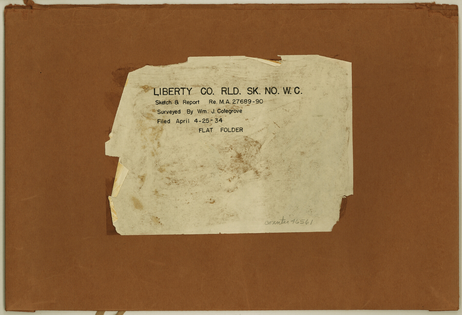
Liberty County Rolled Sketch WC
[Sketch & report re: MA-27689 and MA-27690]
-
Map/Doc
46561
-
Collection
General Map Collection
-
Object Dates
1934/4/25 (File Date)
1934/4/19 (Creation Date)
-
People and Organizations
William. J. Colegrove (Surveyor/Engineer)
-
Counties
Liberty
-
Subjects
Surveying Rolled Sketch
-
Height x Width
10.4 x 15.3 inches
26.4 x 38.9 cm
-
Medium
multi-page, multi-format
Part of: General Map Collection
Van Zandt County Sketch File 20

Print $4.00
- Digital $50.00
Van Zandt County Sketch File 20
1858
Size 12.1 x 7.9 inches
Map/Doc 39426
Aransas County Rolled Sketch 33

Print $20.00
- Digital $50.00
Aransas County Rolled Sketch 33
1997
Size 24.5 x 36.8 inches
Map/Doc 78495
Travis County Working Sketch 27

Print $20.00
- Digital $50.00
Travis County Working Sketch 27
1951
Size 17.6 x 31.6 inches
Map/Doc 69411
United States - Gulf Coast Texas - Southern part of Laguna Madre

Print $20.00
- Digital $50.00
United States - Gulf Coast Texas - Southern part of Laguna Madre
1941
Size 18.4 x 27.5 inches
Map/Doc 72948
Webb County Working Sketch 46

Print $20.00
- Digital $50.00
Webb County Working Sketch 46
1947
Size 18.4 x 23.5 inches
Map/Doc 72411

La Salle County Boundary File 2

Print $2.00
- Digital $50.00
La Salle County Boundary File 2
Size 11.1 x 8.6 inches
Map/Doc 56241
Flight Mission No. BQY-15M, Frame 13, Harris County

Print $20.00
- Digital $50.00
Flight Mission No. BQY-15M, Frame 13, Harris County
1953
Size 18.8 x 22.5 inches
Map/Doc 85311
Rockwall County Working Sketch 3

Print $20.00
- Digital $50.00
Rockwall County Working Sketch 3
1923
Size 22.6 x 18.7 inches
Map/Doc 63595
Brewster County Rolled Sketch 19

Print $20.00
- Digital $50.00
Brewster County Rolled Sketch 19
Size 25.4 x 25.1 inches
Map/Doc 5198
Runnels County Rolled Sketch 34

Print $20.00
- Digital $50.00
Runnels County Rolled Sketch 34
Size 30.1 x 35.1 inches
Map/Doc 7522
Childress County Working Sketch 3

Print $20.00
- Digital $50.00
Childress County Working Sketch 3
1927
Size 22.4 x 18.6 inches
Map/Doc 68019
You may also like
Flight Mission No. CGI-4N, Frame 195, Cameron County

Print $20.00
- Digital $50.00
Flight Mission No. CGI-4N, Frame 195, Cameron County
1955
Size 18.5 x 22.3 inches
Map/Doc 84698

Shackelford County Boundary File 3

Print $42.00
- Digital $50.00
Shackelford County Boundary File 3
Size 11.4 x 8.7 inches
Map/Doc 58649

Edwards County Boundary File 27a

Print $14.00
- Digital $50.00
Edwards County Boundary File 27a
Size 12.7 x 8.4 inches
Map/Doc 52880
Upton County Working Sketch 50

Print $20.00
- Digital $50.00
Upton County Working Sketch 50
1980
Size 19.5 x 21.4 inches
Map/Doc 69547
Flight Mission No. DQO-8K, Frame 19, Galveston County

Print $20.00
- Digital $50.00
Flight Mission No. DQO-8K, Frame 19, Galveston County
1952
Size 18.7 x 22.5 inches
Map/Doc 85142
Flight Mission No. BQR-13K, Frame 166, Brazoria County

Print $20.00
- Digital $50.00
Flight Mission No. BQR-13K, Frame 166, Brazoria County
1952
Size 18.8 x 22.3 inches
Map/Doc 84091
Real County Rolled Sketch 1

Print $20.00
- Digital $50.00
Real County Rolled Sketch 1
1941
Size 20.6 x 28.9 inches
Map/Doc 7452
Map of the Straits of Florida and Gulf of Mexico

Print $20.00
- Digital $50.00
Map of the Straits of Florida and Gulf of Mexico
1851
Size 18.4 x 27.5 inches
Map/Doc 72674
Erath County Sketch File 15

Print $4.00
- Digital $50.00
Erath County Sketch File 15
1872
Size 6.2 x 7.6 inches
Map/Doc 22292
Lubbock Cemetery

Print $40.00
- Digital $50.00
Lubbock Cemetery
Size 42.2 x 53.7 inches
Map/Doc 89912