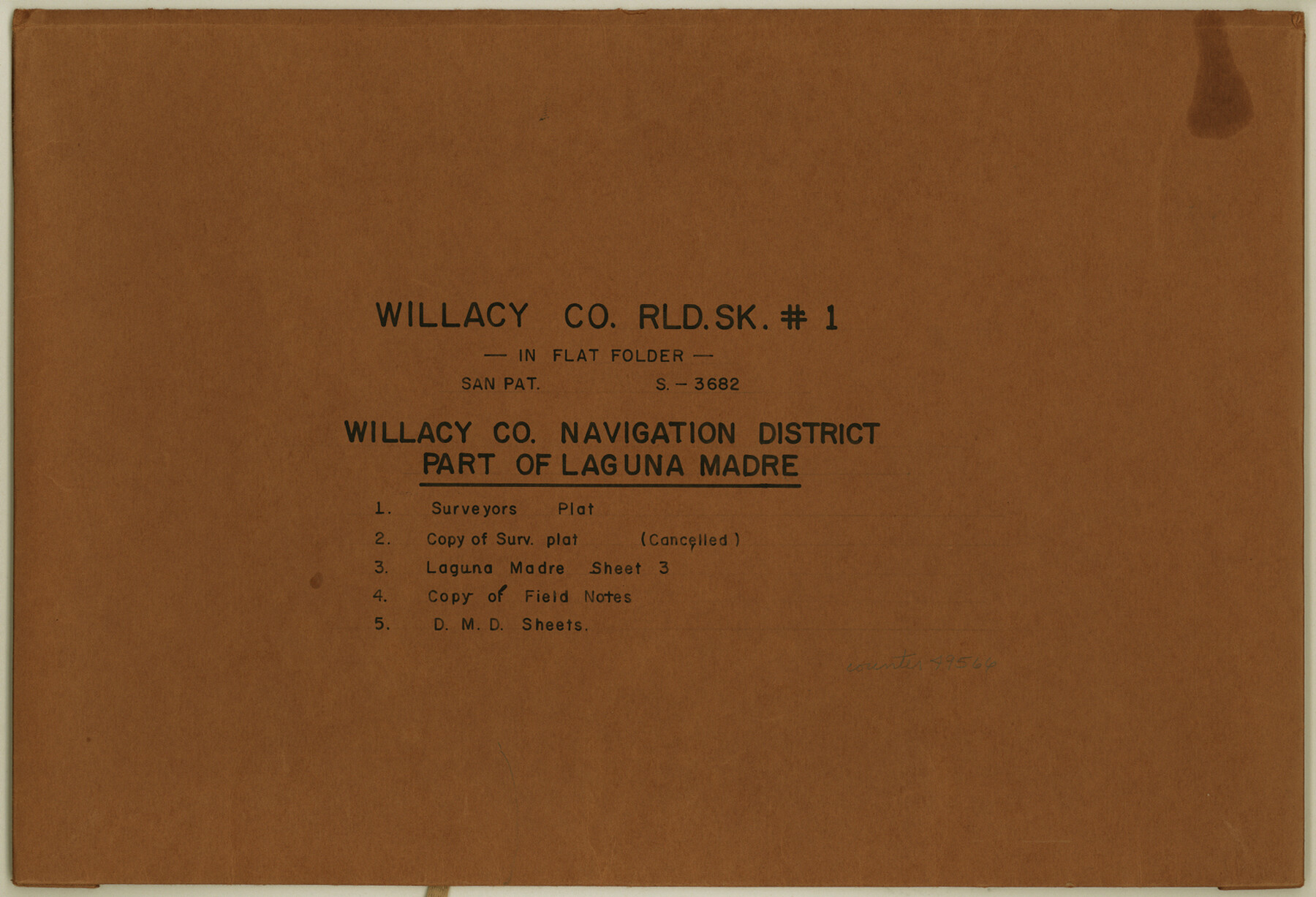
Willacy County Rolled Sketch 1
[Plats, field notes, and D.M.D. sheets of part of Laguna Madre, Willacy Co. Navigation District]
-
Map/Doc
49566
-
Collection
General Map Collection
-
Object Dates
1956/9/7 (Creation Date)
1956/9/26 (File Date)
-
People and Organizations
C.L. Fabian (Surveyor/Engineer)
-
Counties
Willacy
-
Subjects
Surveying Rolled Sketch
-
Height x Width
10.4 x 15.3 inches
26.4 x 38.9 cm
-
Medium
multi-page, multi-format
Part of: General Map Collection
[Location Survey of the Southern Kansas Railway, Kiowa Extension from a point in Drake's Location, in Indian Territory 100 miles from south line of Kansas, continuing up Wolf Creek and South Canadian River to Cottonwood Creek in Hutchinson County]
![88845, [Location Survey of the Southern Kansas Railway, Kiowa Extension from a point in Drake's Location, in Indian Territory 100 miles from south line of Kansas, continuing up Wolf Creek and South Canadian River to Cottonwood Creek in Hutchinson County], General Map Collection](https://historictexasmaps.com/wmedia_w700/maps/88845.tif.jpg)
Print $20.00
- Digital $50.00
[Location Survey of the Southern Kansas Railway, Kiowa Extension from a point in Drake's Location, in Indian Territory 100 miles from south line of Kansas, continuing up Wolf Creek and South Canadian River to Cottonwood Creek in Hutchinson County]
1886
Size 37.5 x 36.0 inches
Map/Doc 88845
Fisher County Working Sketch 17

Print $20.00
- Digital $50.00
Fisher County Working Sketch 17
1972
Size 32.2 x 24.6 inches
Map/Doc 69151
Briscoe County Boundary File 3

Print $4.00
- Digital $50.00
Briscoe County Boundary File 3
Size 13.9 x 8.5 inches
Map/Doc 50778
Coleman County Sketch File 50

Print $4.00
- Digital $50.00
Coleman County Sketch File 50
Size 12.6 x 8.2 inches
Map/Doc 18853
Kimble County Working Sketch 22

Print $20.00
- Digital $50.00
Kimble County Working Sketch 22
1929
Size 25.2 x 21.1 inches
Map/Doc 70090
Taylor County Sketch File 10

Print $20.00
- Digital $50.00
Taylor County Sketch File 10
Size 35.2 x 34.4 inches
Map/Doc 10383
Dimmit County Boundary File 9

Print $20.00
- Digital $50.00
Dimmit County Boundary File 9
Size 37.2 x 6.9 inches
Map/Doc 52603
Liberty County Working Sketch 35

Print $20.00
- Digital $50.00
Liberty County Working Sketch 35
1948
Size 22.3 x 42.3 inches
Map/Doc 70494
Flight Mission No. DCL-5C, Frame 66, Kenedy County

Print $20.00
- Digital $50.00
Flight Mission No. DCL-5C, Frame 66, Kenedy County
1943
Size 18.4 x 22.3 inches
Map/Doc 85849
Coleman County Sketch File 27a

Print $20.00
- Digital $50.00
Coleman County Sketch File 27a
Size 22.6 x 24.3 inches
Map/Doc 11121

Sherman County Rolled Sketch 6

Print $20.00
- Digital $50.00
Sherman County Rolled Sketch 6
1919
Size 37.3 x 36.0 inches
Map/Doc 10731
You may also like
McMullen County Rolled Sketch 7

Print $40.00
- Digital $50.00
McMullen County Rolled Sketch 7
1939
Size 38.8 x 51.7 inches
Map/Doc 9500
Map of Texas. The Proposed Reoccupation of the Rio Grande -- Its Importance to the Union

Print $20.00
Map of Texas. The Proposed Reoccupation of the Rio Grande -- Its Importance to the Union
1965
Size 14.1 x 8.6 inches
Map/Doc 76264
Maverick County Rolled Sketch 25

Print $20.00
- Digital $50.00
Maverick County Rolled Sketch 25
1999
Size 24.6 x 24.7 inches
Map/Doc 82574
Cooke County Sketch File 5

Print $4.00
- Digital $50.00
Cooke County Sketch File 5
1857
Size 12.7 x 8.2 inches
Map/Doc 19226
[Surveys in the Montgomery District: San Jacinto River and Caney Creek, Navidad, Navasota]
![33, [Surveys in the Montgomery District: San Jacinto River and Caney Creek, Navidad, Navasota], General Map Collection](https://historictexasmaps.com/wmedia_w700/maps/33.tif.jpg)
Print $2.00
- Digital $50.00
[Surveys in the Montgomery District: San Jacinto River and Caney Creek, Navidad, Navasota]
1846
Size 8.8 x 6.0 inches
Map/Doc 33
Flight Mission No. DCL-4C, Frame 145, Kenedy County

Print $20.00
- Digital $50.00
Flight Mission No. DCL-4C, Frame 145, Kenedy County
1943
Size 18.6 x 22.4 inches
Map/Doc 85823
The Judicial District/County of Menard. Abolished, Spring 1842

Print $20.00
The Judicial District/County of Menard. Abolished, Spring 1842
2020
Size 22.4 x 21.7 inches
Map/Doc 96337
Padre Island National Seashore, Texas - Dependent Resurvey

Print $4.00
- Digital $50.00
Padre Island National Seashore, Texas - Dependent Resurvey
2001
Size 18.3 x 24.4 inches
Map/Doc 60545
Polk County Sketch File 8

Print $4.00
- Digital $50.00
Polk County Sketch File 8
1859
Size 10.9 x 8.4 inches
Map/Doc 34134
Erath County Working Sketch 49

Print $20.00
- Digital $50.00
Erath County Working Sketch 49
1990
Size 37.4 x 30.8 inches
Map/Doc 69130
Mills County Working Sketch 3

Print $20.00
- Digital $50.00
Mills County Working Sketch 3
1905
Size 17.6 x 14.5 inches
Map/Doc 71033
Goliad County Working Sketch 13

Print $20.00
- Digital $50.00
Goliad County Working Sketch 13
1943
Size 28.3 x 40.8 inches
Map/Doc 63203