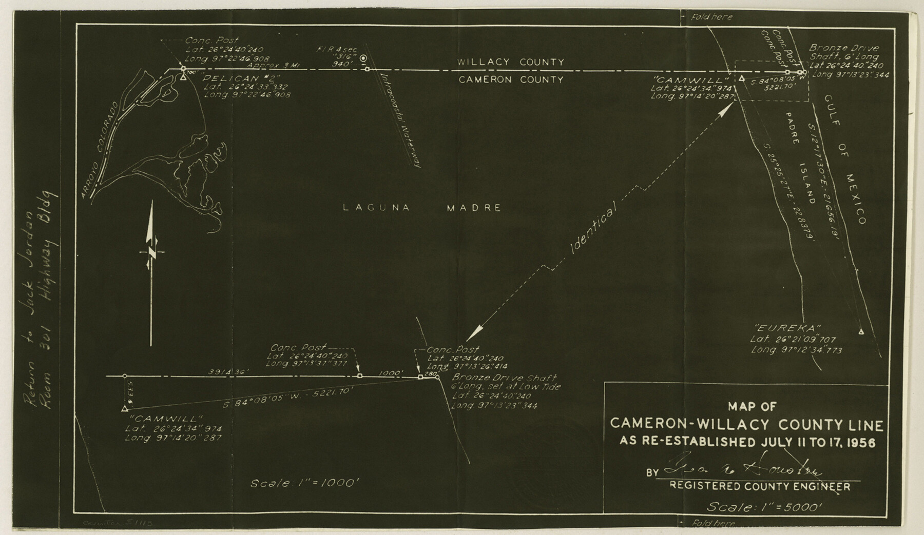
Cameron County Boundary File 5
Map of Cameron-Willacy County Line as Re-Established July 11 to 17, 1956
-
Map/Doc
51113
-
Collection
General Map Collection
-
Counties
Cameron
-
Subjects
County Boundaries
-
Height x Width
8.8 x 15.3 inches
22.4 x 38.9 cm
Part of: General Map Collection
Brooks County Working Sketch 12

Print $20.00
- Digital $50.00
Brooks County Working Sketch 12
1943
Size 27.0 x 26.5 inches
Map/Doc 67796
Flight Mission No. DCL-4C, Frame 66, Kenedy County

Print $20.00
- Digital $50.00
Flight Mission No. DCL-4C, Frame 66, Kenedy County
1943
Size 18.6 x 22.3 inches
Map/Doc 85811
Hutchinson County Working Sketch 50

Print $20.00
- Digital $50.00
Hutchinson County Working Sketch 50
Size 30.5 x 29.3 inches
Map/Doc 78201
Uvalde County Working Sketch 28

Print $20.00
- Digital $50.00
Uvalde County Working Sketch 28
1957
Size 25.9 x 21.5 inches
Map/Doc 72098
The United States of North America with the British Territories and Those of Spain, according to the Treaty of 1784

Print $20.00
- Digital $50.00
The United States of North America with the British Territories and Those of Spain, according to the Treaty of 1784
1796
Size 23.6 x 30.8 inches
Map/Doc 95738
Flight Mission No. BRA-7M, Frame 145, Jefferson County

Print $20.00
- Digital $50.00
Flight Mission No. BRA-7M, Frame 145, Jefferson County
1953
Size 16.0 x 16.0 inches
Map/Doc 85539
Kendall County Sketch File 22B

Print $20.00
- Digital $50.00
Kendall County Sketch File 22B
1937
Size 19.3 x 24.6 inches
Map/Doc 11911
Yoakum County Working Sketch Graphic Index

Print $20.00
- Digital $50.00
Yoakum County Working Sketch Graphic Index
1932
Size 44.7 x 33.1 inches
Map/Doc 76747
Galveston County Working Sketch 16

Print $20.00
- Digital $50.00
Galveston County Working Sketch 16
1980
Size 30.5 x 36.9 inches
Map/Doc 69353
Henderson County

Print $40.00
- Digital $50.00
Henderson County
1922
Size 39.3 x 49.1 inches
Map/Doc 4683
Grayson County Sketch File 7

Print $40.00
- Digital $50.00
Grayson County Sketch File 7
1856
Size 12.3 x 12.1 inches
Map/Doc 24470
Trinity County Sketch File 37

Print $4.00
- Digital $50.00
Trinity County Sketch File 37
1921
Size 11.3 x 8.8 inches
Map/Doc 38591
You may also like
Goliad County Sketch File 24

Print $16.00
- Digital $50.00
Goliad County Sketch File 24
1856
Size 12.9 x 8.2 inches
Map/Doc 24297
Galveston County Sketch File 41

Print $7.00
- Digital $50.00
Galveston County Sketch File 41
Size 11.3 x 8.9 inches
Map/Doc 23451
Flight Mission No. CRC-3R, Frame 42, Chambers County

Print $20.00
- Digital $50.00
Flight Mission No. CRC-3R, Frame 42, Chambers County
1956
Size 18.8 x 22.4 inches
Map/Doc 84815
Flight Mission No. CRE-2R, Frame 172, Jackson County

Print $20.00
- Digital $50.00
Flight Mission No. CRE-2R, Frame 172, Jackson County
1956
Size 18.5 x 22.2 inches
Map/Doc 85382
Henderson County Boundary File 2a

Print $12.00
- Digital $50.00
Henderson County Boundary File 2a
Size 14.2 x 8.8 inches
Map/Doc 54656
Flight Mission No. DCL-6C, Frame 78, Kenedy County

Print $20.00
- Digital $50.00
Flight Mission No. DCL-6C, Frame 78, Kenedy County
1943
Size 17.5 x 20.7 inches
Map/Doc 85920
Flight Mission No. CGI-3N, Frame 128, Cameron County

Print $20.00
- Digital $50.00
Flight Mission No. CGI-3N, Frame 128, Cameron County
1954
Size 18.5 x 22.2 inches
Map/Doc 84601
[SE Pt. of Stephens County]
![89639, [SE Pt. of Stephens County], Twichell Survey Records](https://historictexasmaps.com/wmedia_w700/maps/89639-1.tif.jpg)
Print $20.00
- Digital $50.00
[SE Pt. of Stephens County]
Size 38.1 x 35.9 inches
Map/Doc 89639
Culberson Co.

Print $40.00
- Digital $50.00
Culberson Co.
1908
Size 49.0 x 32.9 inches
Map/Doc 66796
Upton County Rolled Sketch 40

Print $20.00
- Digital $50.00
Upton County Rolled Sketch 40
Size 26.2 x 39.7 inches
Map/Doc 8079
Aransas County Rolled Sketch 1

Print $40.00
- Digital $50.00
Aransas County Rolled Sketch 1
1930
Size 11.5 x 49.5 inches
Map/Doc 10685
Map of surveys 191 & 192 T. C. R.R. Co. in Travis County, Texas

Print $20.00
- Digital $50.00
Map of surveys 191 & 192 T. C. R.R. Co. in Travis County, Texas
1915
Size 20.6 x 13.6 inches
Map/Doc 75554