[Surveying Sketch of Part of] Maverick County
-
Map/Doc
515
-
Collection
Maddox Collection
-
Object Dates
1878 (Creation Date)
-
People and Organizations
J.J. Groos (GLO Commissioner)
-
Counties
Maverick
-
Height x Width
9.8 x 13.2 inches
24.9 x 33.5 cm
-
Medium
paper, manuscript
-
Scale
2000 varas = 1 inch
-
Features
Las Maras
Rio Grande
Eagle Pass & Ft. Clark
Eagle Pass Road
Ft. Clark Road
Part of: Maddox Collection
[Surveying Sketch of Encibio Almaguie, T. W. N. G. R. R. Co., et al in Hutchinson County, Texas]
![93791, [Surveying Sketch of Encibio Almaguie, T. W. N. G. R. R. Co., et al in Hutchinson County, Texas], Maddox Collection](https://historictexasmaps.com/wmedia_w700/maps/93791.tif.jpg)
![93791, [Surveying Sketch of Encibio Almaguie, T. W. N. G. R. R. Co., et al in Hutchinson County, Texas], Maddox Collection](https://historictexasmaps.com/wmedia_w700/maps/93791.tif.jpg)
Print $20.00
- Digital $50.00
[Surveying Sketch of Encibio Almaguie, T. W. N. G. R. R. Co., et al in Hutchinson County, Texas]
Map/Doc 93791
San Patricio County, Texas


Print $20.00
- Digital $50.00
San Patricio County, Texas
1879
Size 18.1 x 22.8 inches
Map/Doc 611
Map of the Pitchfork Ranch


Print $20.00
- Digital $50.00
Map of the Pitchfork Ranch
1915
Size 40.2 x 36.5 inches
Map/Doc 4490
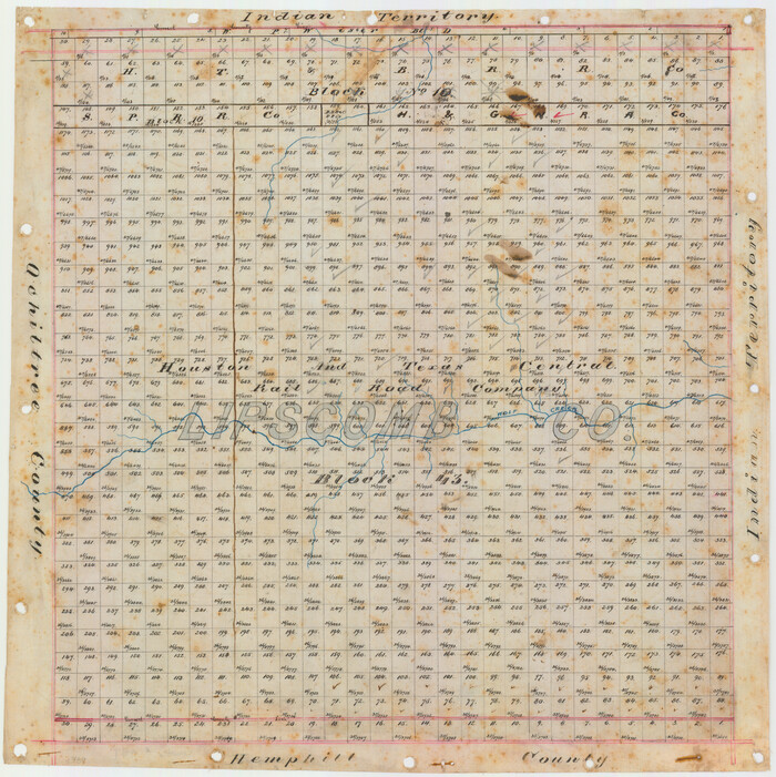
Lipscomb County, Texas

Print $20.00
- Digital $50.00
Lipscomb County, Texas
1880
Size 16.5 x 18.2 inches
Map/Doc 489
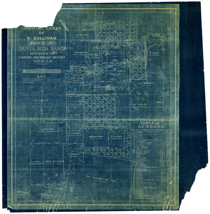
Map showing lands of D. Sullivan known as Santa Rosa Ranch, situated in Cameron and Hidalgo Counties, Texas

Print $20.00
- Digital $50.00
Map showing lands of D. Sullivan known as Santa Rosa Ranch, situated in Cameron and Hidalgo Counties, Texas
1905
Size 26.8 x 27.3 inches
Map/Doc 4451
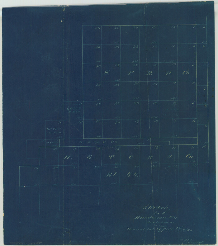
Sketch in Hardeman Co.

Print $3.00
- Digital $50.00
Sketch in Hardeman Co.
1890
Size 12.4 x 11.0 inches
Map/Doc 75925
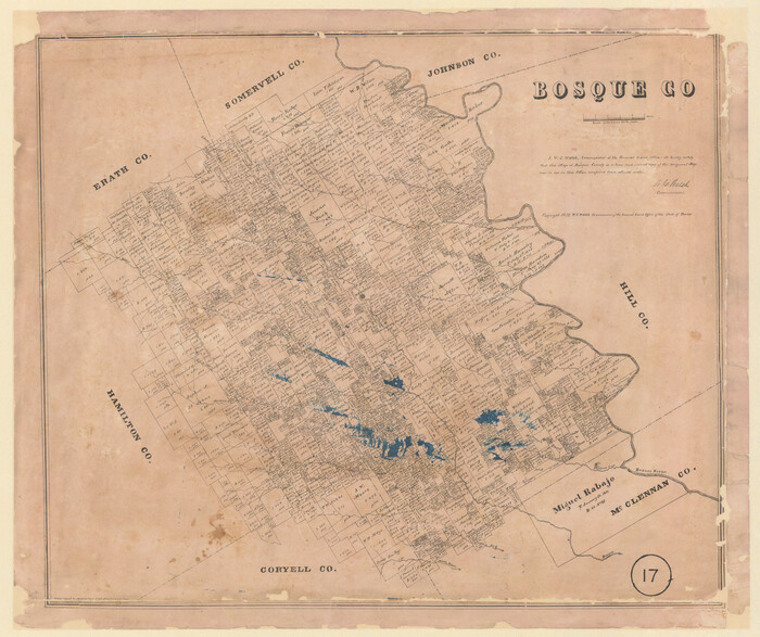
Bosque County, Texas

Print $20.00
- Digital $50.00
Bosque County, Texas
1879
Size 25.1 x 29.9 inches
Map/Doc 420
[Block A, Greer County, Texas]
![384, [Block A, Greer County, Texas], Maddox Collection](https://historictexasmaps.com/wmedia_w700/maps/384.tif.jpg)
![384, [Block A, Greer County, Texas], Maddox Collection](https://historictexasmaps.com/wmedia_w700/maps/384.tif.jpg)
Print $20.00
- Digital $50.00
[Block A, Greer County, Texas]
Size 16.9 x 15.8 inches
Map/Doc 384
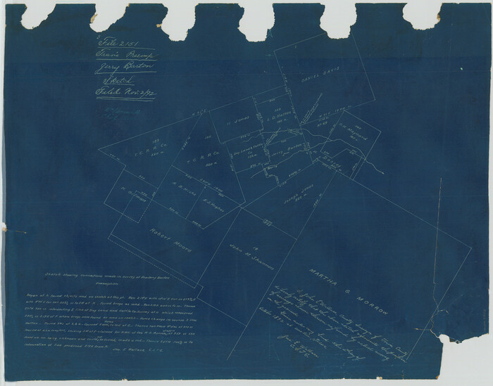
Sketch showing connections made in survey of the Jerry Barton preemption

Print $20.00
- Digital $50.00
Sketch showing connections made in survey of the Jerry Barton preemption
1892
Size 18.5 x 23.6 inches
Map/Doc 75558
Borden County, Texas


Print $20.00
- Digital $50.00
Borden County, Texas
1887
Size 19.9 x 18.3 inches
Map/Doc 596
Survey of a Portion of Lot. No. 1 of Spear League


Print $20.00
- Digital $50.00
Survey of a Portion of Lot. No. 1 of Spear League
1911
Size 12.2 x 24.2 inches
Map/Doc 477
[Sketch of Surveys in Crockett County, Texas]
![10778, [Sketch of Surveys in Crockett County, Texas], Maddox Collection](https://historictexasmaps.com/wmedia_w700/maps/10778.tif.jpg)
![10778, [Sketch of Surveys in Crockett County, Texas], Maddox Collection](https://historictexasmaps.com/wmedia_w700/maps/10778.tif.jpg)
Print $20.00
- Digital $50.00
[Sketch of Surveys in Crockett County, Texas]
1880
Size 12.7 x 21.3 inches
Map/Doc 10778
You may also like
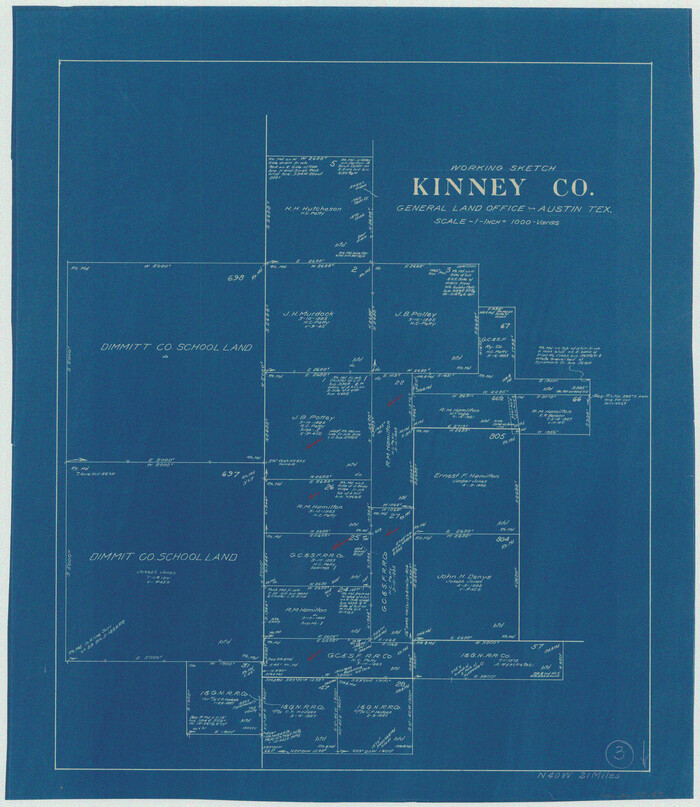
Kinney County Working Sketch 3

Print $20.00
- Digital $50.00
Kinney County Working Sketch 3
Size 20.3 x 17.6 inches
Map/Doc 70185
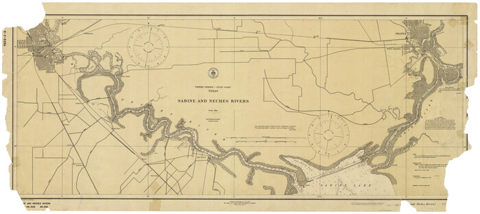
Sabine and Neches Rivers

Print $20.00
- Digital $50.00
Sabine and Neches Rivers
1925
Size 19.6 x 44.0 inches
Map/Doc 69816
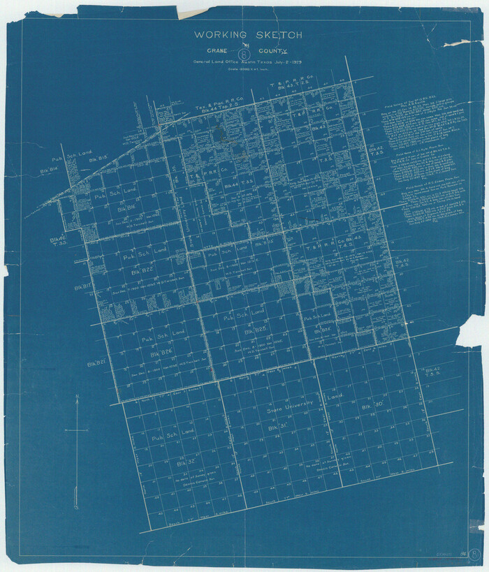
Crane County Working Sketch 8

Print $20.00
- Digital $50.00
Crane County Working Sketch 8
1929
Size 33.2 x 28.4 inches
Map/Doc 68285
Threading the Islands: Which track fits?


Threading the Islands: Which track fits?
1986
Size 20.5 x 14.7 inches
Map/Doc 96838
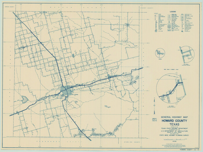
General Highway Map, Howard County, Texas

Print $20.00
General Highway Map, Howard County, Texas
1940
Size 18.5 x 24.7 inches
Map/Doc 79134
Presidio County Rolled Sketch 50


Print $20.00
- Digital $50.00
Presidio County Rolled Sketch 50
Size 21.2 x 18.4 inches
Map/Doc 7344
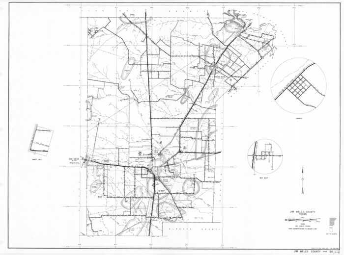
General Highway Map, Jim Wells County, Texas

Print $20.00
General Highway Map, Jim Wells County, Texas
1961
Size 18.2 x 24.6 inches
Map/Doc 79543
Cherokee County Sketch File 20


Print $4.00
- Digital $50.00
Cherokee County Sketch File 20
1876
Size 8.2 x 6.0 inches
Map/Doc 18163
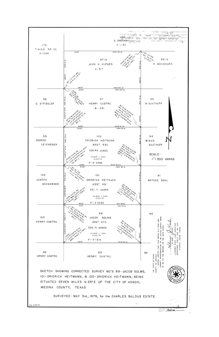
Medina County Rolled Sketch 13

Print $20.00
- Digital $50.00
Medina County Rolled Sketch 13
1979
Size 28.2 x 18.3 inches
Map/Doc 6747
The Gnome of Kimble County


Price $20.00
The Gnome of Kimble County
2019
Size 3.5 x 3.0 inches
Map/Doc 95706
![515, [Surveying Sketch of Part of] Maverick County, Maddox Collection](https://historictexasmaps.com/wmedia_w1800h1800/maps/515.tif.jpg)
