El Paso County Boundary File 11
Controversy as to Boundary lines between Jeff Davis Co. & El Paso Co. and Reeves Co.
-
Map/Doc
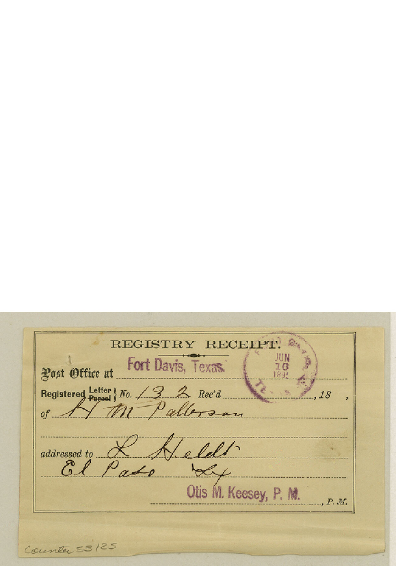
53125
-
Collection
General Map Collection
-
Counties
El Paso
-
Subjects
County Boundaries
-
Height x Width
9.3 x 6.5 inches
23.6 x 16.5 cm
Part of: General Map Collection
Starr County Rolled Sketch 46B

Print $20.00
- Digital $50.00
Starr County Rolled Sketch 46B
1986
Size 17.9 x 34.5 inches
Map/Doc 7838
Duval County Sketch File 35c

Print $6.00
- Digital $50.00
Duval County Sketch File 35c
1935
Size 14.5 x 8.8 inches
Map/Doc 21377
Hays County Rolled Sketch 31

Print $20.00
- Digital $50.00
Hays County Rolled Sketch 31
2001
Size 24.0 x 34.7 inches
Map/Doc 76421
Flight Mission No. BQR-3K, Frame 152, Brazoria County

Print $20.00
- Digital $50.00
Flight Mission No. BQR-3K, Frame 152, Brazoria County
1952
Size 18.7 x 22.3 inches
Map/Doc 83979
Terrell County

Print $40.00
- Digital $50.00
Terrell County
1931
Size 48.5 x 40.5 inches
Map/Doc 73300
Flight Mission No. DCL-6C, Frame 125, Kenedy County

Print $20.00
- Digital $50.00
Flight Mission No. DCL-6C, Frame 125, Kenedy County
1943
Size 18.7 x 22.3 inches
Map/Doc 85955
Flight Mission No. DQN-7K, Frame 89, Calhoun County

Print $20.00
- Digital $50.00
Flight Mission No. DQN-7K, Frame 89, Calhoun County
1953
Size 18.4 x 22.2 inches
Map/Doc 84480
Map of Taylor, Bastrop & Houston Railroad in Williamson, Travis, & Bastrop Counties, Texas

Print $20.00
- Digital $50.00
Map of Taylor, Bastrop & Houston Railroad in Williamson, Travis, & Bastrop Counties, Texas
1887
Size 26.3 x 17.8 inches
Map/Doc 65468
Henderson County Boundary File 43

Print $28.00
- Digital $50.00
Henderson County Boundary File 43
Size 5.0 x 8.3 inches
Map/Doc 54708
Hays County Sketch File 1

Print $2.00
- Digital $50.00
Hays County Sketch File 1
1856
Size 12.6 x 8.3 inches
Map/Doc 26199
Menard County Working Sketch 16

Print $40.00
- Digital $50.00
Menard County Working Sketch 16
1946
Size 49.1 x 39.1 inches
Map/Doc 70963
Blanco County Working Sketch 3

Print $20.00
- Digital $50.00
Blanco County Working Sketch 3
Size 14.4 x 16.1 inches
Map/Doc 78189
You may also like
Jim Hogg County Working Sketch 4

Print $20.00
- Digital $50.00
Jim Hogg County Working Sketch 4
1939
Size 20.9 x 25.4 inches
Map/Doc 66590
The Official Map of the City of El Paso, State of Texas

Print $40.00
The Official Map of the City of El Paso, State of Texas
1889
Size 83.6 x 97.2 inches
Map/Doc 89619
Comanche County Sketch File 5

Print $4.00
- Digital $50.00
Comanche County Sketch File 5
1848
Size 8.6 x 8.3 inches
Map/Doc 19059
Reeves County Rolled Sketch 18

Print $20.00
- Digital $50.00
Reeves County Rolled Sketch 18
1963
Size 23.4 x 27.4 inches
Map/Doc 7487


Brewster County Rolled Sketch 24C

Print $20.00
- Digital $50.00
Brewster County Rolled Sketch 24C
Size 17.5 x 20.8 inches
Map/Doc 5210
Hamilton County Working Sketch 3

Print $20.00
- Digital $50.00
Hamilton County Working Sketch 3
1926
Size 29.6 x 39.6 inches
Map/Doc 63341
Haskell County Sketch File 1

Print $20.00
- Digital $50.00
Haskell County Sketch File 1
1856
Size 19.9 x 10.6 inches
Map/Doc 11738
Maverick County Boundary File 1

Print $48.00
- Digital $50.00
Maverick County Boundary File 1
Size 14.2 x 8.7 inches
Map/Doc 56901
Travis County Sketch File 32A

Print $6.00
- Digital $50.00
Travis County Sketch File 32A
1893
Size 12.5 x 10.9 inches
Map/Doc 38347
Flight Mission No. BQR-13K, Frame 21, Brazoria County

Print $20.00
- Digital $50.00
Flight Mission No. BQR-13K, Frame 21, Brazoria County
1952
Size 18.8 x 22.4 inches
Map/Doc 84069