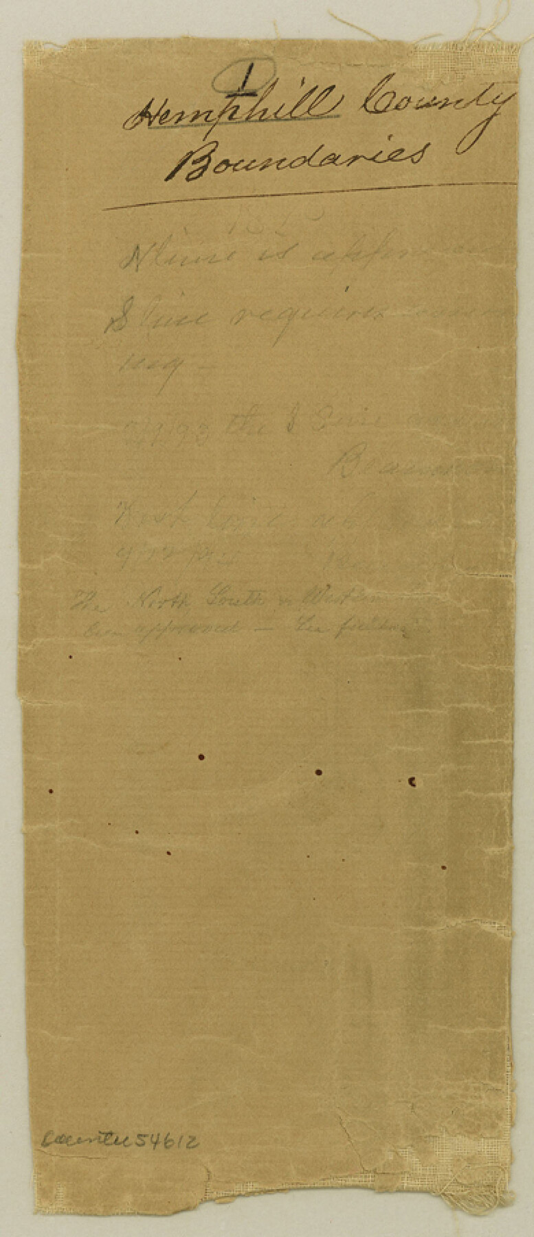
Hemphill County Boundary File 1
Filed Notes & Boundary Line between Hemphill & Wheeler Cos.
-
Map/Doc
54612
-
Collection
General Map Collection
-
Counties
Hemphill
-
Subjects
County Boundaries
-
Height x Width
9.0 x 3.9 inches
22.9 x 9.9 cm
Part of: General Map Collection
Liberty County Sketch File 25

Print $8.00
- Digital $50.00
Liberty County Sketch File 25
1861
Size 8.0 x 10.0 inches
Map/Doc 29939
Armstrong County

Print $20.00
- Digital $50.00
Armstrong County
1879
Size 21.6 x 19.2 inches
Map/Doc 3242
Brewster County Working Sketch 119

Print $20.00
- Digital $50.00
Brewster County Working Sketch 119
1909
Size 29.3 x 29.0 inches
Map/Doc 67719
Atascosa County Sketch File 27

Print $42.00
- Digital $50.00
Atascosa County Sketch File 27
Size 8.7 x 8.3 inches
Map/Doc 13796
Castro County

Print $20.00
- Digital $50.00
Castro County
1932
Size 39.2 x 34.4 inches
Map/Doc 77234
Winkler County Sketch File 3

Print $20.00
- Digital $50.00
Winkler County Sketch File 3
Size 38.6 x 33.8 inches
Map/Doc 10436
Shaw Farm, State Prison Farm, Bowie County

Print $20.00
- Digital $50.00
Shaw Farm, State Prison Farm, Bowie County
Size 16.1 x 17.9 inches
Map/Doc 73559
Nolan County Sketch File B

Print $20.00
- Digital $50.00
Nolan County Sketch File B
1902
Size 12.0 x 21.5 inches
Map/Doc 42171
Gulf Oil Corp. Fishgide - Freeport

Gulf Oil Corp. Fishgide - Freeport
1960
Size 12.1 x 22.1 inches
Map/Doc 75979
Sabine Bank to East Bay including Heald Bank

Print $20.00
- Digital $50.00
Sabine Bank to East Bay including Heald Bank
1976
Size 45.0 x 34.5 inches
Map/Doc 69851
Loving County Sketch File 8

Print $44.00
- Digital $50.00
Loving County Sketch File 8
2002
Size 11.2 x 8.7 inches
Map/Doc 76377
Nueces County Rolled Sketch 56

Print $53.00
- Digital $50.00
Nueces County Rolled Sketch 56
1978
Size 10.0 x 15.1 inches
Map/Doc 47890
You may also like
Foard County Sketch File 23

Print $20.00
- Digital $50.00
Foard County Sketch File 23
1891
Size 21.3 x 24.7 inches
Map/Doc 4544
[Beaumont, Sour Lake and Western Ry. Right of Way and Alignment - Frisco]
![64128, [Beaumont, Sour Lake and Western Ry. Right of Way and Alignment - Frisco], General Map Collection](https://historictexasmaps.com/wmedia_w700/maps/64128.tif.jpg)
Print $20.00
- Digital $50.00
[Beaumont, Sour Lake and Western Ry. Right of Way and Alignment - Frisco]
1910
Size 20.1 x 45.9 inches
Map/Doc 64128
Sabine County, Texas

Print $20.00
- Digital $50.00
Sabine County, Texas
1879
Size 22.1 x 18.6 inches
Map/Doc 751
[Capitol Leagues Eastward from Bl, LC2 to H. & T.C. Blk. 44]
![89921, [Capitol Leagues Eastward from Bl, LC2 to H. & T.C. Blk. 44], Twichell Survey Records](https://historictexasmaps.com/wmedia_w700/maps/89921-1.tif.jpg)
Print $40.00
- Digital $50.00
[Capitol Leagues Eastward from Bl, LC2 to H. & T.C. Blk. 44]
Size 64.0 x 41.9 inches
Map/Doc 89921
Harris County Working Sketch 87

Print $20.00
- Digital $50.00
Harris County Working Sketch 87
1972
Size 34.1 x 31.0 inches
Map/Doc 65979
Marion County Rolled Sketch 3

Print $20.00
- Digital $50.00
Marion County Rolled Sketch 3
1955
Size 35.4 x 35.5 inches
Map/Doc 9490
Aransas County Sketch File 26

Print $28.00
- Digital $50.00
Aransas County Sketch File 26
1896
Size 5.2 x 4.7 inches
Map/Doc 13219
Wilson County Sketch File 1

Print $6.00
- Digital $50.00
Wilson County Sketch File 1
1858
Size 10.4 x 7.5 inches
Map/Doc 40396
Coke County Rolled Sketch 2

Print $20.00
- Digital $50.00
Coke County Rolled Sketch 2
1947
Size 15.5 x 17.4 inches
Map/Doc 5504
Galveston Bay Entrance - Galveston and Texas City Harbors

Print $40.00
- Digital $50.00
Galveston Bay Entrance - Galveston and Texas City Harbors
1973
Size 37.0 x 53.0 inches
Map/Doc 69863
Taylor County Working Sketch Graphic Index

Print $20.00
- Digital $50.00
Taylor County Working Sketch Graphic Index
1934
Size 42.8 x 36.4 inches
Map/Doc 76709
Tyler County Sketch File 6-3

Print $20.00
- Digital $50.00
Tyler County Sketch File 6-3
1861
Size 20.0 x 22.1 inches
Map/Doc 12499