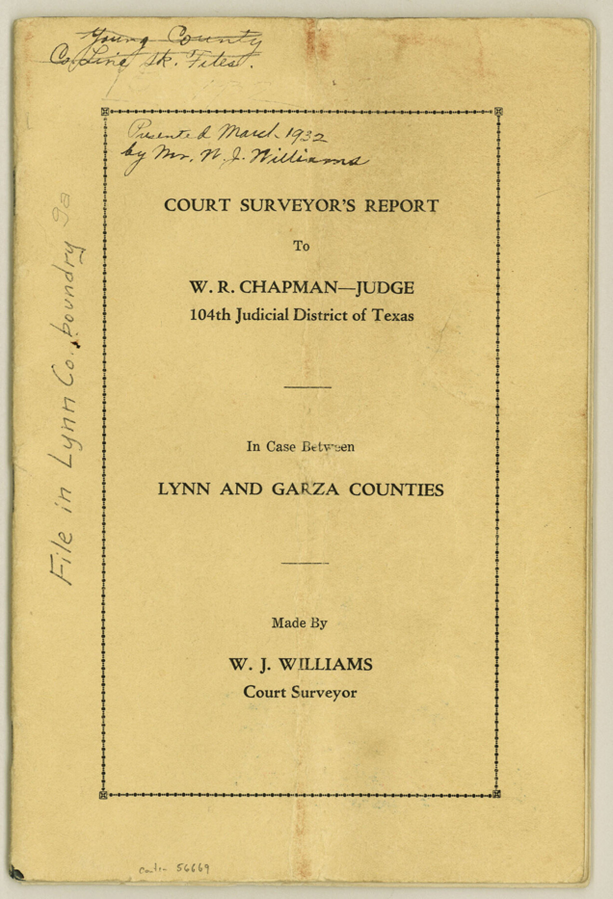
Lynn County Boundary File 9a
Court Surveyor's Report to W. R. Chapman - Judge 194th Judicial District of Texas In Case Between Lynn and Garza Counties
-
Map/Doc
56669
-
Collection
General Map Collection
-
Counties
Lynn
-
Subjects
County Boundaries
-
Height x Width
9.3 x 6.4 inches
23.6 x 16.3 cm
Part of: General Map Collection
Real County Working Sketch 46

Print $20.00
- Digital $50.00
Real County Working Sketch 46
1956
Size 21.2 x 18.9 inches
Map/Doc 71938
Stephens County Sketch File 10b

Print $8.00
- Digital $50.00
Stephens County Sketch File 10b
1890
Size 8.5 x 7.8 inches
Map/Doc 37048
Brazoria County Sketch File 4

Print $4.00
- Digital $50.00
Brazoria County Sketch File 4
1861
Size 7.9 x 9.5 inches
Map/Doc 14927
Ward County Working Sketch 51

Print $40.00
- Digital $50.00
Ward County Working Sketch 51
1980
Size 34.4 x 52.1 inches
Map/Doc 72357
Flight Mission No. BRE-2P, Frame 69, Nueces County

Print $20.00
- Digital $50.00
Flight Mission No. BRE-2P, Frame 69, Nueces County
1956
Size 18.6 x 22.5 inches
Map/Doc 86764

Map of subdivision of submerged land in the Gulf of Mexico fronting on Matagorda Island and Peninsula

Print $40.00
- Digital $50.00
Map of subdivision of submerged land in the Gulf of Mexico fronting on Matagorda Island and Peninsula
1940
Size 28.2 x 61.3 inches
Map/Doc 2929
Coryell County Working Sketch 9

Print $20.00
- Digital $50.00
Coryell County Working Sketch 9
1947
Size 28.7 x 30.0 inches
Map/Doc 68216
[Surveys on the Sabine River, Sulphur Fork of the Red River, and the Bois d'Arc River for Johnson, Williams, and Peebles' contract and G. W. Smyth, commissioner]
![44, [Surveys on the Sabine River, Sulphur Fork of the Red River, and the Bois d'Arc River for Johnson, Williams, and Peebles' contract and G. W. Smyth, commissioner], General Map Collection](https://historictexasmaps.com/wmedia_w700/maps/44-1.tif.jpg)
Print $20.00
- Digital $50.00
[Surveys on the Sabine River, Sulphur Fork of the Red River, and the Bois d'Arc River for Johnson, Williams, and Peebles' contract and G. W. Smyth, commissioner]
1835
Size 23.6 x 25.9 inches
Map/Doc 44
Upton County Rolled Sketch 22

Print $20.00
- Digital $50.00
Upton County Rolled Sketch 22
Size 21.6 x 27.0 inches
Map/Doc 8073
Frio County Rolled Sketch 9

Print $20.00
- Digital $50.00
Frio County Rolled Sketch 9
1943
Size 35.7 x 32.5 inches
Map/Doc 5919
Jasper County Boundary File 1

Print $50.00
- Digital $50.00
Jasper County Boundary File 1
Size 12.6 x 20.5 inches
Map/Doc 55462
You may also like
Zapata County Rolled Sketch 26

Print $20.00
- Digital $50.00
Zapata County Rolled Sketch 26
1982
Size 43.0 x 30.7 inches
Map/Doc 8319
Flight Mission No. BQR-13K, Frame 22, Brazoria County

Print $20.00
- Digital $50.00
Flight Mission No. BQR-13K, Frame 22, Brazoria County
1952
Size 18.9 x 22.4 inches
Map/Doc 84070
Harris County Sketch File 100

Print $518.00
- Digital $50.00
Harris County Sketch File 100
1991
Size 11.5 x 8.8 inches
Map/Doc 25674
General Highway Map, Smith County, Texas

Print $20.00
General Highway Map, Smith County, Texas
1939
Size 24.9 x 18.4 inches
Map/Doc 79244
Aransas County Boundary File 2

Print $3.00
- Digital $50.00
Aransas County Boundary File 2
Size 12.4 x 10.8 inches
Map/Doc 49781
Kinney County Working Sketch 48

Print $40.00
- Digital $50.00
Kinney County Working Sketch 48
1979
Size 37.0 x 53.9 inches
Map/Doc 70230
Rusk County Sketch File 35

Print $6.00
Rusk County Sketch File 35
1950
Size 11.3 x 8.8 inches
Map/Doc 35573
Crockett County Working Sketch 29

Print $40.00
- Digital $50.00
Crockett County Working Sketch 29
1924
Size 42.8 x 57.6 inches
Map/Doc 68362
Hudspeth County Sketch File 28

Print $20.00
- Digital $50.00
Hudspeth County Sketch File 28
1943
Size 15.3 x 21.4 inches
Map/Doc 11803
General Highway Map, Houston County, Texas

Print $20.00
General Highway Map, Houston County, Texas
1940
Size 25.0 x 18.6 inches
Map/Doc 79132
General Highway Map. Detail of Cities and Towns in Trinity County, Texas [Groveton and Trinity and vicinities]
![79689, General Highway Map. Detail of Cities and Towns in Trinity County, Texas [Groveton and Trinity and vicinities], Texas State Library and Archives](https://historictexasmaps.com/wmedia_w700/maps/79689.tif.jpg)
Print $20.00
General Highway Map. Detail of Cities and Towns in Trinity County, Texas [Groveton and Trinity and vicinities]
1961
Size 18.1 x 24.8 inches
Map/Doc 79689
Sutton County Working Sketch 62

Print $20.00
- Digital $50.00
Sutton County Working Sketch 62
1959
Size 31.3 x 38.1 inches
Map/Doc 62405