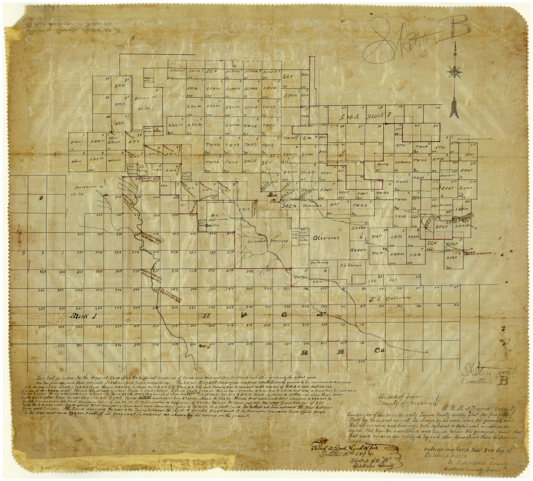
Dickens County Rolled Sketch B
[Sketch of surveys in the central part of county]
-
Map/Doc
5709
-
Collection
General Map Collection
-
Object Dates
10/2/1894 (Creation Date)
10/16/1894 (File Date)
-
People and Organizations
W.R. Norwood (Surveyor/Engineer)
-
Counties
Dickens
-
Subjects
Surveying Rolled Sketch
-
Height x Width
24.9 x 26.9 inches
63.3 x 68.3 cm
-
Medium
paper, manuscript
Part of: General Map Collection
Map of Roberts County

Print $40.00
- Digital $50.00
Map of Roberts County
1900
Size 45.3 x 50.0 inches
Map/Doc 3990
Delta County Working Sketch 3

Print $20.00
- Digital $50.00
Delta County Working Sketch 3
1963
Size 24.9 x 24.4 inches
Map/Doc 68640
Revised Map of West Half of Sabine Lake, Jefferson & Orange Cos., showing subdivision for mineral development

Print $40.00
- Digital $50.00
Revised Map of West Half of Sabine Lake, Jefferson & Orange Cos., showing subdivision for mineral development
1957
Size 58.9 x 42.0 inches
Map/Doc 2898
Flight Mission No. DAG-21K, Frame 119, Matagorda County

Print $20.00
- Digital $50.00
Flight Mission No. DAG-21K, Frame 119, Matagorda County
1952
Size 18.6 x 22.5 inches
Map/Doc 86445
University Land in Cooke County

Print $20.00
- Digital $50.00
University Land in Cooke County
1906
Size 23.6 x 30.0 inches
Map/Doc 2425
Panola County Working Sketch 23

Print $20.00
- Digital $50.00
Panola County Working Sketch 23
1951
Map/Doc 71432
Nueces County Rolled Sketch 107

Print $56.00
Nueces County Rolled Sketch 107
1987
Size 18.4 x 24.8 inches
Map/Doc 7104
Orange County - Sabine River Leases 1, 2, 3, & 4

Print $20.00
- Digital $50.00
Orange County - Sabine River Leases 1, 2, 3, & 4
1918
Size 38.6 x 23.0 inches
Map/Doc 2900
Flight Mission No. DIX-7P, Frame 19, Aransas County

Print $20.00
- Digital $50.00
Flight Mission No. DIX-7P, Frame 19, Aransas County
1956
Size 19.0 x 22.6 inches
Map/Doc 83871
Brazoria County Working Sketch Graphic Index

Print $20.00
- Digital $50.00
Brazoria County Working Sketch Graphic Index
1947
Size 41.0 x 38.1 inches
Map/Doc 76471
Burnet County Sketch File 14

Print $4.00
- Digital $50.00
Burnet County Sketch File 14
Size 15.1 x 8.9 inches
Map/Doc 16698
Flight Mission No. CRC-3R, Frame 51, Chambers County

Print $20.00
- Digital $50.00
Flight Mission No. CRC-3R, Frame 51, Chambers County
1956
Size 18.7 x 22.4 inches
Map/Doc 84824
You may also like
Nueces County Sketch File 61

Print $4.00
- Digital $50.00
Nueces County Sketch File 61
1930
Size 10.5 x 8.6 inches
Map/Doc 32969
Gulf Intracoastal Waterway - Tributary Channel to Aransas Pass, Location of Spoil Disposal Areas

Print $20.00
- Digital $50.00
Gulf Intracoastal Waterway - Tributary Channel to Aransas Pass, Location of Spoil Disposal Areas
1961
Size 31.5 x 41.9 inches
Map/Doc 61828
Loving County Rolled Sketch 12

Print $20.00
- Digital $50.00
Loving County Rolled Sketch 12
Size 35.5 x 42.6 inches
Map/Doc 76418
Terrell County Working Sketch 25

Print $40.00
- Digital $50.00
Terrell County Working Sketch 25
1942
Size 41.9 x 49.1 inches
Map/Doc 62175
Webb County Working Sketch 7

Print $20.00
- Digital $50.00
Webb County Working Sketch 7
1909
Size 29.7 x 20.3 inches
Map/Doc 72372
Bandera County Working Sketch 19

Print $20.00
- Digital $50.00
Bandera County Working Sketch 19
1946
Size 43.3 x 35.8 inches
Map/Doc 67615
North Line Garza County/South Line Crosby County

Print $20.00
- Digital $50.00
North Line Garza County/South Line Crosby County
1887
Size 8.3 x 35.1 inches
Map/Doc 90904
Matagorda Bay Including Lavaca and Tres Palacios Bays

Print $20.00
- Digital $50.00
Matagorda Bay Including Lavaca and Tres Palacios Bays
1975
Size 37.2 x 47.7 inches
Map/Doc 73364
Guadalupe County Sketch File 19

Print $4.00
- Digital $50.00
Guadalupe County Sketch File 19
Size 14.3 x 8.7 inches
Map/Doc 24697
Orange County Sketch File 34

Print $20.00
- Digital $50.00
Orange County Sketch File 34
1929
Size 23.5 x 27.7 inches
Map/Doc 12126
Shackelford County

Print $20.00
- Digital $50.00
Shackelford County
1972
Size 43.9 x 37.3 inches
Map/Doc 95638
Eastland County Sketch File 21

Print $8.00
- Digital $50.00
Eastland County Sketch File 21
1990
Size 11.3 x 8.8 inches
Map/Doc 21622