Garza County Rolled Sketch P
[Sketch of John Walker survey in NW part of Garza County]
-
Map/Doc
6005
-
Collection
General Map Collection
-
Object Dates
1914 (Creation Date)
1/2/1916 (File Date)
-
People and Organizations
A.S. Howren (Surveyor/Engineer)
-
Counties
Garza
-
Subjects
Surveying Rolled Sketch
-
Height x Width
21.3 x 23.3 inches
54.1 x 59.2 cm
-
Medium
blueprint/diazo
-
Comments
See Garza County Sketch File 31 (24104) for report.
Related maps
Garza County Sketch File 31


Print $10.00
- Digital $50.00
Garza County Sketch File 31
1914
Size 13.4 x 8.9 inches
Map/Doc 24104
Part of: General Map Collection
Hardin County Sketch File 14


Print $4.00
- Digital $50.00
Hardin County Sketch File 14
1866
Size 13.0 x 8.0 inches
Map/Doc 25120
Map of Presidio County, Texas


Print $40.00
- Digital $50.00
Map of Presidio County, Texas
Size 42.6 x 86.0 inches
Map/Doc 76071
Flight Mission No. CRC-5R, Frame 40, Chambers County


Print $20.00
- Digital $50.00
Flight Mission No. CRC-5R, Frame 40, Chambers County
1956
Size 18.6 x 22.4 inches
Map/Doc 84959
Bee County Working Sketch 24
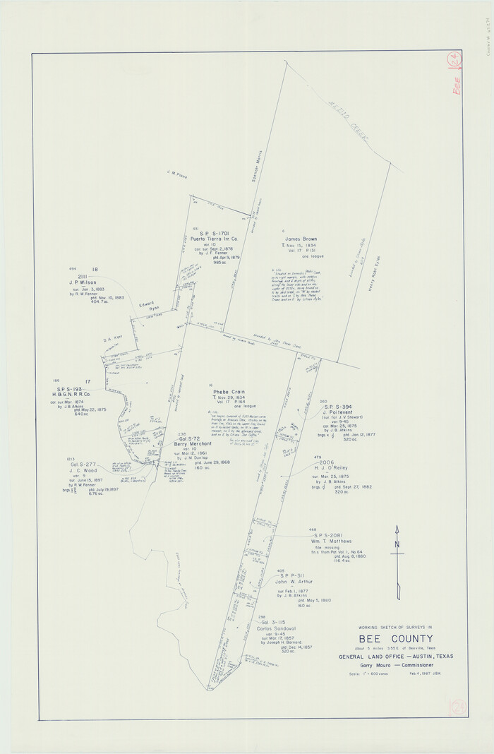

Print $20.00
- Digital $50.00
Bee County Working Sketch 24
1987
Size 36.6 x 24.0 inches
Map/Doc 67274
Liberty County Sketch File 66
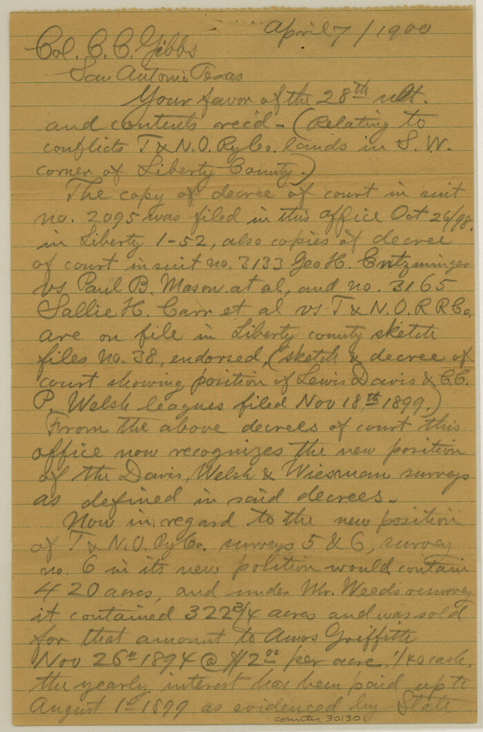

Print $10.00
- Digital $50.00
Liberty County Sketch File 66
1900
Size 10.8 x 7.1 inches
Map/Doc 30130
East Line & Red River Railroad, Map of the Line from Sulphur Springs to Greenville


Print $40.00
- Digital $50.00
East Line & Red River Railroad, Map of the Line from Sulphur Springs to Greenville
1881
Size 19.0 x 88.2 inches
Map/Doc 64350
Parker County Sketch File 13
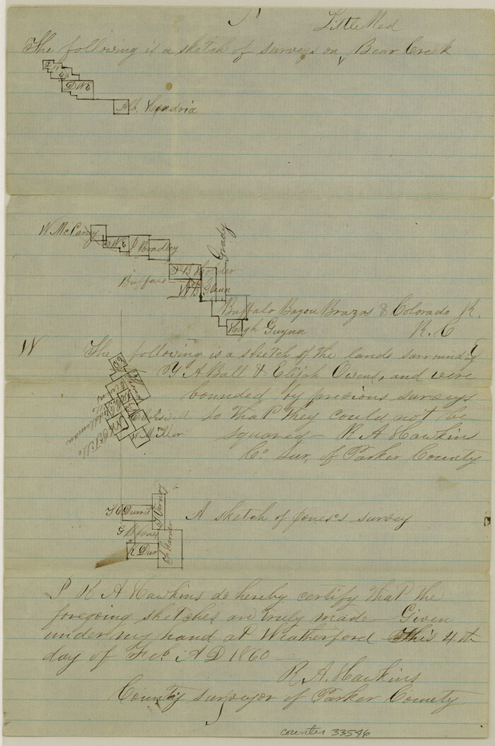

Print $4.00
- Digital $50.00
Parker County Sketch File 13
1860
Size 12.1 x 8.0 inches
Map/Doc 33546
Harris County Rolled Sketch 88
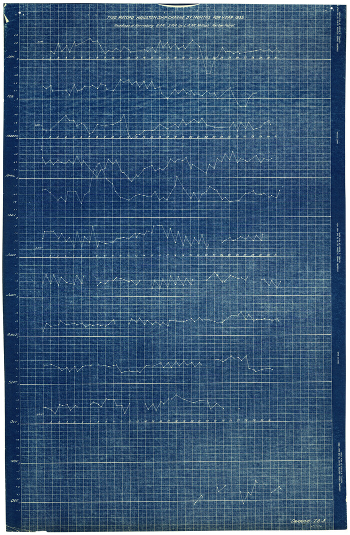

Print $20.00
- Digital $50.00
Harris County Rolled Sketch 88
1935
Size 34.4 x 23.0 inches
Map/Doc 6121
Kimble County Rolled Sketch 20


Print $20.00
- Digital $50.00
Kimble County Rolled Sketch 20
Size 14.6 x 18.1 inches
Map/Doc 6511
Harris County Rolled Sketch 77


Print $20.00
- Digital $50.00
Harris County Rolled Sketch 77
1914
Size 30.0 x 35.6 inches
Map/Doc 6114
Irion County Boundary File 2
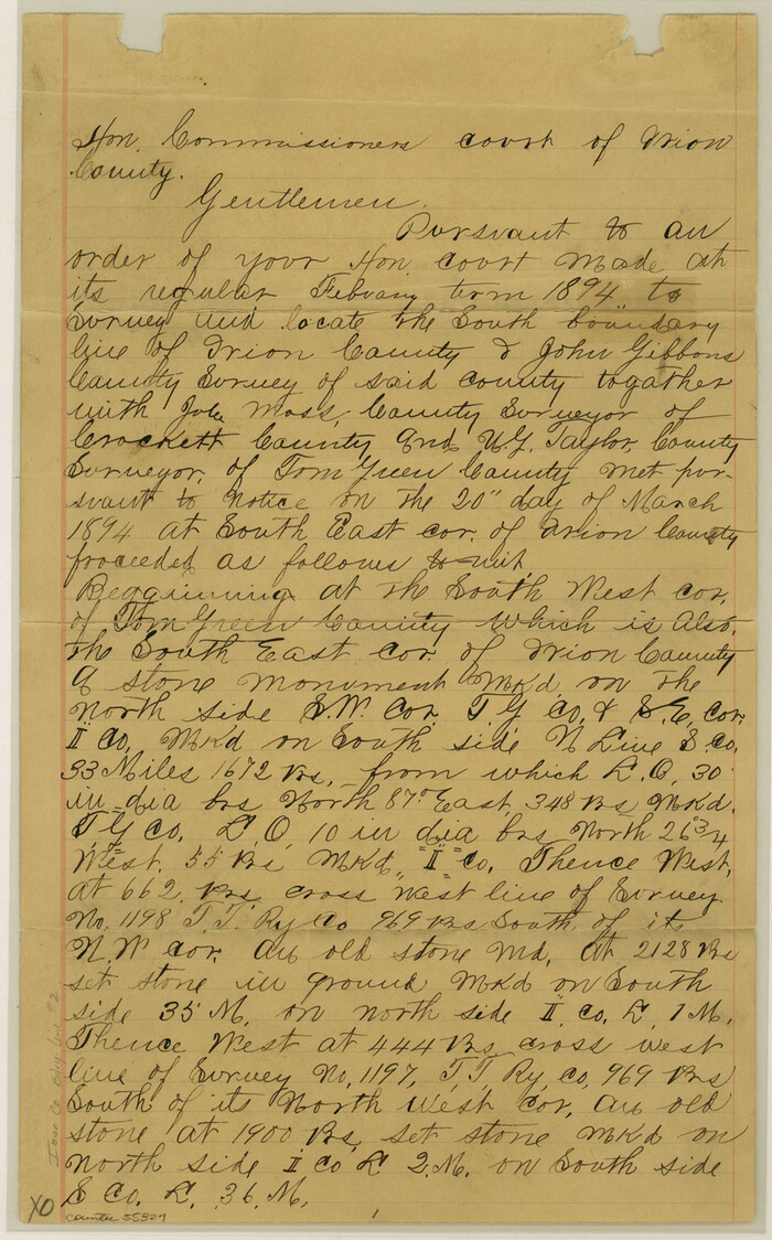

Print $60.00
- Digital $50.00
Irion County Boundary File 2
Size 14.3 x 8.9 inches
Map/Doc 55327
Maps of Gulf Intracoastal Waterway, Texas - Sabine River to the Rio Grande and connecting waterways including ship channels
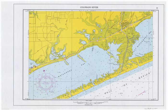

Print $20.00
- Digital $50.00
Maps of Gulf Intracoastal Waterway, Texas - Sabine River to the Rio Grande and connecting waterways including ship channels
1966
Size 14.6 x 22.3 inches
Map/Doc 61957
You may also like
Caldwell County Sketch File 5
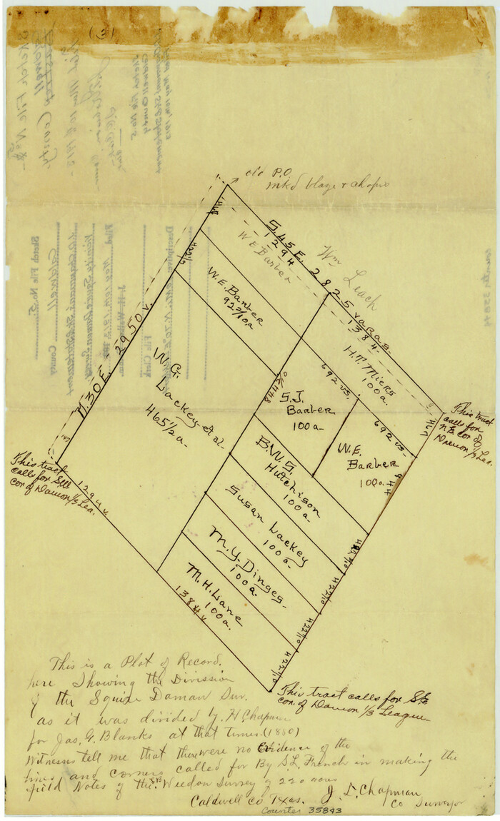

Print $8.00
- Digital $50.00
Caldwell County Sketch File 5
Size 14.1 x 8.6 inches
Map/Doc 35843
Presidio County Working Sketch 142
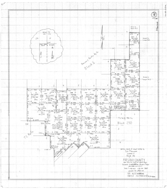

Print $20.00
- Digital $50.00
Presidio County Working Sketch 142
1990
Size 24.5 x 21.7 inches
Map/Doc 71820
Reeves County Working Sketch 5


Print $20.00
- Digital $50.00
Reeves County Working Sketch 5
1938
Size 38.0 x 32.4 inches
Map/Doc 63448
El Paso County Working Sketch 49
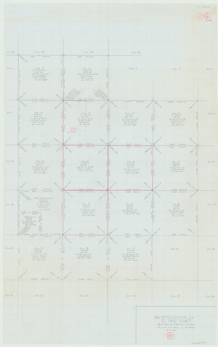

Print $20.00
- Digital $50.00
El Paso County Working Sketch 49
1990
Size 36.8 x 23.1 inches
Map/Doc 69071
Floyd County Sketch File 33
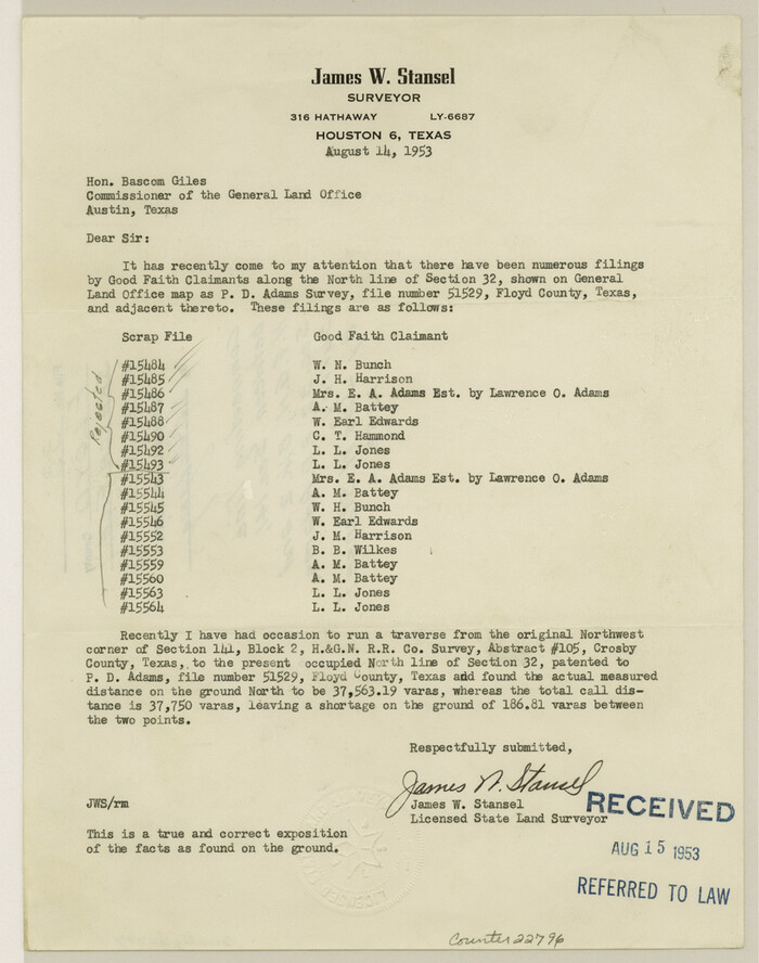

Print $4.00
- Digital $50.00
Floyd County Sketch File 33
1953
Size 11.4 x 9.0 inches
Map/Doc 22796
Sutton County Working Sketch 10


Print $40.00
- Digital $50.00
Sutton County Working Sketch 10
1972
Size 71.0 x 42.9 inches
Map/Doc 62353
Maverick County Working Sketch 6


Print $40.00
- Digital $50.00
Maverick County Working Sketch 6
1944
Size 55.9 x 42.4 inches
Map/Doc 70898
Jefferson County Aerial Photograph Index Sheet 8
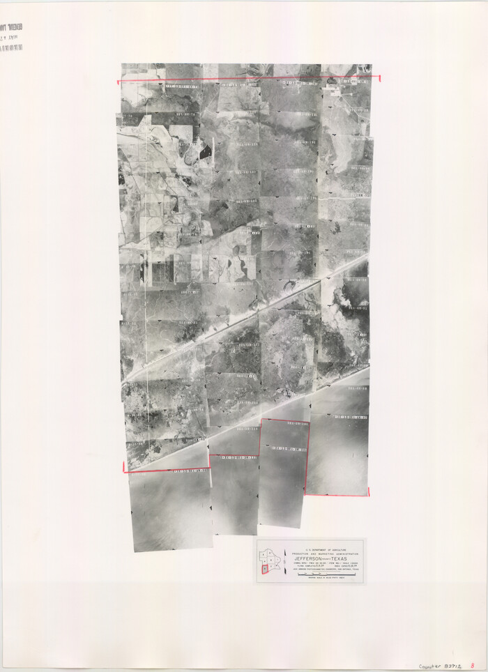

Print $20.00
- Digital $50.00
Jefferson County Aerial Photograph Index Sheet 8
1953
Size 23.4 x 17.0 inches
Map/Doc 83712
Loving County Working Sketch 8


Print $40.00
- Digital $50.00
Loving County Working Sketch 8
1952
Size 21.9 x 56.6 inches
Map/Doc 70640
Limestone County Rolled Sketch 4
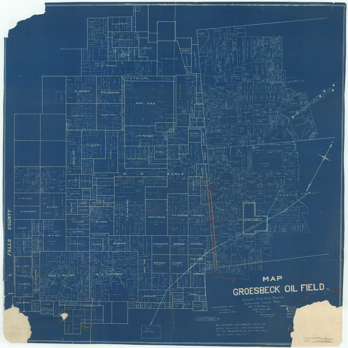

Print $20.00
- Digital $50.00
Limestone County Rolled Sketch 4
1921
Size 35.1 x 35.1 inches
Map/Doc 9573
Smith County Working Sketch 17
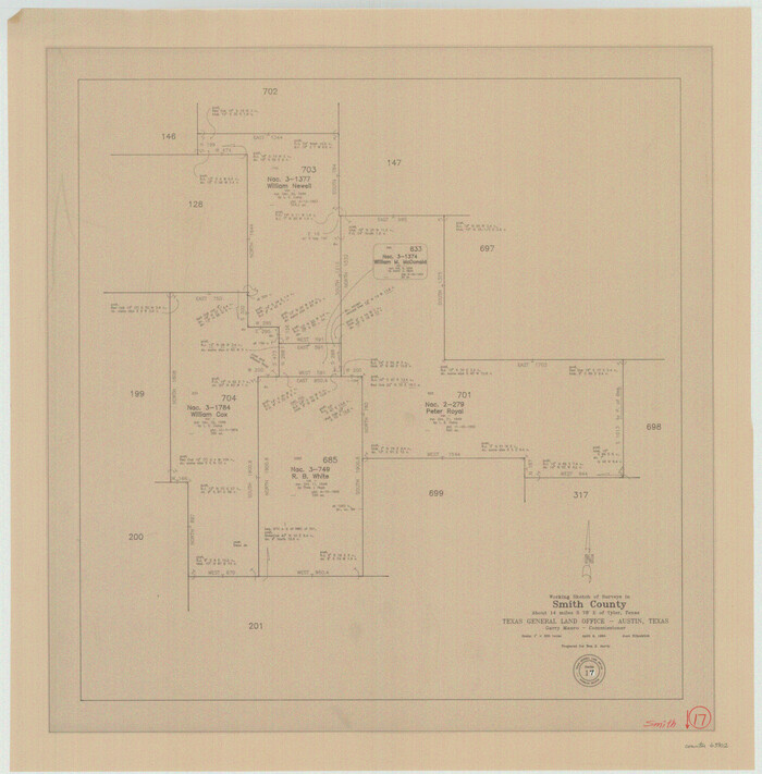

Print $20.00
- Digital $50.00
Smith County Working Sketch 17
1994
Size 24.6 x 24.2 inches
Map/Doc 63902

