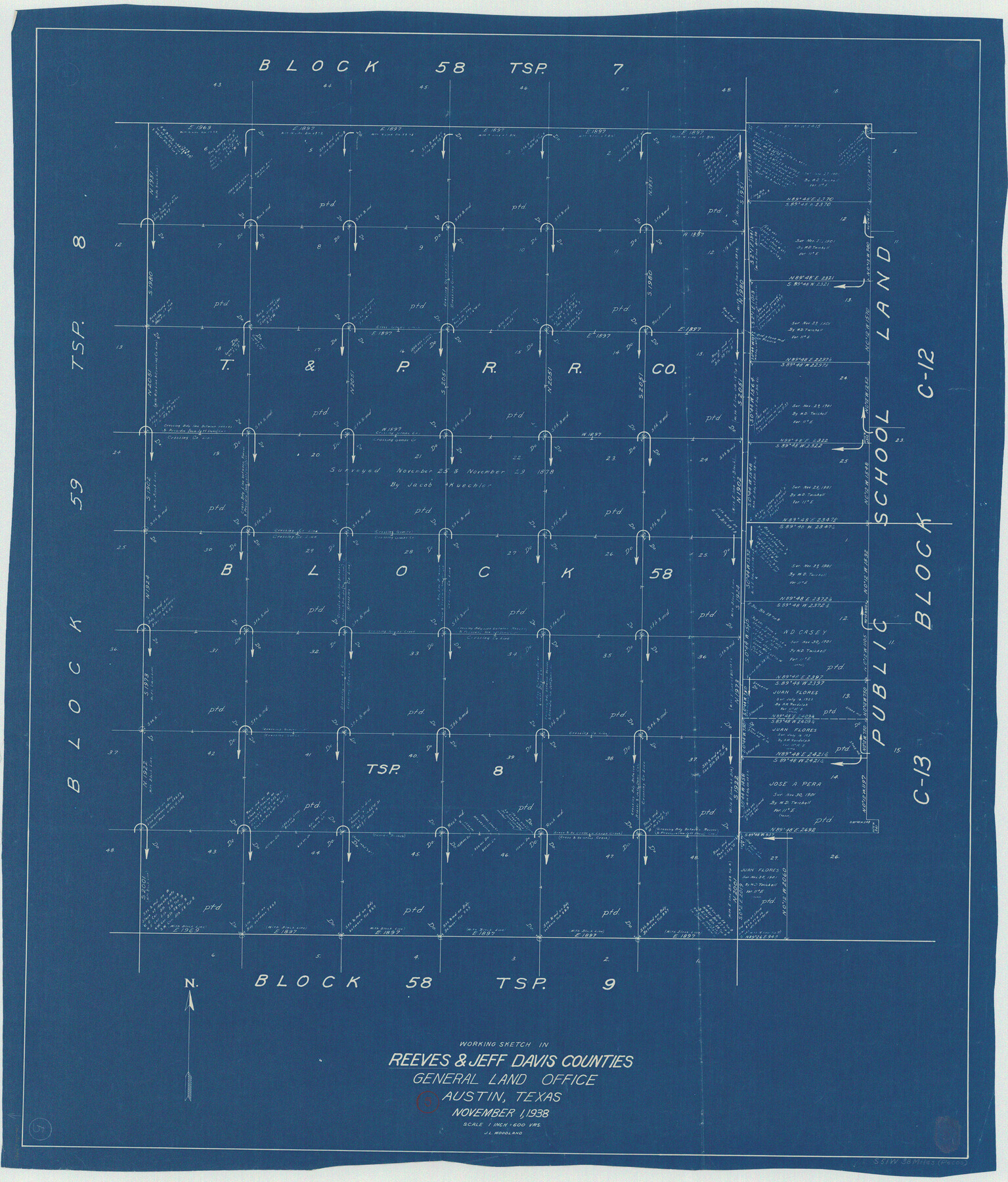
Reeves County Working Sketch 5
-
Map/Doc
63448
-
Collection
General Map Collection
-
Counties
Reeves
-
Subjects
Cadastral Surveying Working Sketch
-
Height x Width
38.0 x 32.4 inches
96.5 x 82.3 cm
Part of: General Map Collection
Jack County Working Sketch 19
![66445, Jack County Working Sketch 19, General Map Collection](https://historictexasmaps.com/wmedia_w700/maps/66445.tif.jpg)
Print $4.00
- Digital $50.00
Jack County Working Sketch 19
Size 21.5 x 29.4 inches
Map/Doc 66445
Hardin County Sketch File 5
![25092, Hardin County Sketch File 5, General Map Collection](https://historictexasmaps.com/wmedia_w700/pdf_converted_jpg/qi_pdf_thumbnail_11638.jpg)
Print $5.00
- Digital $50.00
Hardin County Sketch File 5
1856
Size 9.0 x 6.6 inches
Map/Doc 25092
Terrell County Working Sketch 74
![69595, Terrell County Working Sketch 74, General Map Collection](https://historictexasmaps.com/wmedia_w700/maps/69595.tif.jpg)
Print $20.00
- Digital $50.00
Terrell County Working Sketch 74
Size 37.5 x 24.6 inches
Map/Doc 69595
Duval County Sketch File 43
![11398, Duval County Sketch File 43, General Map Collection](https://historictexasmaps.com/wmedia_w700/pdf_converted_jpg/qi_pdf_thumbnail_7865.jpg)
Print $20.00
- Digital $50.00
Duval County Sketch File 43
Size 22.9 x 21.1 inches
Map/Doc 11398
Padre Island National Seashore
![60537, Padre Island National Seashore, General Map Collection](https://historictexasmaps.com/wmedia_w700/maps/60537-3.tif.jpg)
Print $20.00
- Digital $50.00
Padre Island National Seashore
Size 16.0 x 21.7 inches
Map/Doc 60537
Wise County Sketch File 29
![76762, Wise County Sketch File 29, General Map Collection - 1](https://historictexasmaps.com/wmedia_w700/maps/76762.tif.jpg)
Print $20.00
- Digital $50.00
Wise County Sketch File 29
1857
Size 11.1 x 20.7 inches
Map/Doc 76762
Frio County Working Sketch 29
![89994, Frio County Working Sketch 29, General Map Collection](https://historictexasmaps.com/wmedia_w700/maps/89994.tif.jpg)
Print $20.00
- Digital $50.00
Frio County Working Sketch 29
2011
Size 35.9 x 40.6 inches
Map/Doc 89994
Hardeman County
![77302, Hardeman County, General Map Collection](https://historictexasmaps.com/wmedia_w700/maps/77302.tif.jpg)
Print $20.00
- Digital $50.00
Hardeman County
1935
Size 42.8 x 40.0 inches
Map/Doc 77302
Lamar County Sketch File 16
![93654, Lamar County Sketch File 16, General Map Collection](https://historictexasmaps.com/wmedia_w700/pdf_converted_jpg/qi_pdf_thumbnail_38361.jpg)
Print $166.00
- Digital $50.00
Lamar County Sketch File 16
2013
Size 11.0 x 8.5 inches
Map/Doc 93654
El Paso County Rolled Sketch 18
![5822, El Paso County Rolled Sketch 18, General Map Collection](https://historictexasmaps.com/wmedia_w700/maps/5822.tif.jpg)
Print $20.00
- Digital $50.00
El Paso County Rolled Sketch 18
Size 30.0 x 33.4 inches
Map/Doc 5822
Crane County Rolled Sketch 15
![8682, Crane County Rolled Sketch 15, General Map Collection](https://historictexasmaps.com/wmedia_w700/maps/8682.tif.jpg)
Print $40.00
- Digital $50.00
Crane County Rolled Sketch 15
1946
Size 27.2 x 49.5 inches
Map/Doc 8682
Supreme Court of the United States, October Term, 1923, No. 15, Original - The State of Oklahoma, Complainant vs. The State of Texas, Defendant, The United States, Intervener; Report of the Boundary Commissioners
![75133, Supreme Court of the United States, October Term, 1923, No. 15, Original - The State of Oklahoma, Complainant vs. The State of Texas, Defendant, The United States, Intervener; Report of the Boundary Commissioners, General Map Collection](https://historictexasmaps.com/wmedia_w700/maps/75133.tif.jpg)
Print $20.00
- Digital $50.00
Supreme Court of the United States, October Term, 1923, No. 15, Original - The State of Oklahoma, Complainant vs. The State of Texas, Defendant, The United States, Intervener; Report of the Boundary Commissioners
1923
Size 34.2 x 33.9 inches
Map/Doc 75133
You may also like
Pecos County Working Sketch 117
![71590, Pecos County Working Sketch 117, General Map Collection](https://historictexasmaps.com/wmedia_w700/maps/71590.tif.jpg)
Print $40.00
- Digital $50.00
Pecos County Working Sketch 117
Size 57.7 x 36.8 inches
Map/Doc 71590
[Crockett County School Land and Adjacent Leagues in Bailey and Lamb Counties]
![92983, [Crockett County School Land and Adjacent Leagues in Bailey and Lamb Counties], Twichell Survey Records](https://historictexasmaps.com/wmedia_w700/maps/92983-1.tif.jpg)
Print $20.00
- Digital $50.00
[Crockett County School Land and Adjacent Leagues in Bailey and Lamb Counties]
Size 18.0 x 12.8 inches
Map/Doc 92983
[Plat of Trinity River w/ Midstream Profile in Liberty County by US Government 1899]
![65340, [Plat of Trinity River w/ Midstream Profile in Liberty County by US Government 1899], General Map Collection](https://historictexasmaps.com/wmedia_w700/maps/65340.tif.jpg)
Print $20.00
- Digital $50.00
[Plat of Trinity River w/ Midstream Profile in Liberty County by US Government 1899]
1899
Size 12.8 x 18.2 inches
Map/Doc 65340
[Sketch around Falls County School Land and surveys to South]
![91886, [Sketch around Falls County School Land and surveys to South], Twichell Survey Records](https://historictexasmaps.com/wmedia_w700/maps/91886-1.tif.jpg)
Print $20.00
- Digital $50.00
[Sketch around Falls County School Land and surveys to South]
1894
Size 13.1 x 12.1 inches
Map/Doc 91886
The Republic County of Harris. Spring 1842
![96167, The Republic County of Harris. Spring 1842, Nancy and Jim Tiller Digital Collection](https://historictexasmaps.com/wmedia_w700/maps/96167.tif.jpg)
Print $20.00
- Digital $50.00
The Republic County of Harris. Spring 1842
2020
Size 8.9 x 10.8 inches
Map/Doc 96167
Subdivision for R.N. Graham
![83430, Subdivision for R.N. Graham, Maddox Collection](https://historictexasmaps.com/wmedia_w700/maps/83430.tif.jpg)
Print $3.00
- Digital $50.00
Subdivision for R.N. Graham
1913
Size 15.2 x 10.4 inches
Map/Doc 83430
El Paso County Sketch File 27
![11458, El Paso County Sketch File 27, General Map Collection](https://historictexasmaps.com/wmedia_w700/pdf_converted_jpg/qi_pdf_thumbnail_7914.jpg)
Print $20.00
- Digital $50.00
El Paso County Sketch File 27
Size 18.3 x 24.5 inches
Map/Doc 11458
Travis County Appraisal District Plat Map 4_1301
![94213, Travis County Appraisal District Plat Map 4_1301, General Map Collection](https://historictexasmaps.com/wmedia_w700/maps/94213.tif.jpg)
Print $20.00
- Digital $50.00
Travis County Appraisal District Plat Map 4_1301
Size 21.5 x 26.4 inches
Map/Doc 94213
Right of Way and Track Map, International & Gt. Northern Ry. Operated by the International & Gt. Northern Ry. Co., Gulf Division
![64251, Right of Way and Track Map, International & Gt. Northern Ry. Operated by the International & Gt. Northern Ry. Co., Gulf Division, General Map Collection](https://historictexasmaps.com/wmedia_w700/maps/64251.tif.jpg)
Print $40.00
- Digital $50.00
Right of Way and Track Map, International & Gt. Northern Ry. Operated by the International & Gt. Northern Ry. Co., Gulf Division
1917
Size 24.8 x 56.5 inches
Map/Doc 64251
El Paso County Sketch File 1a
![21907, El Paso County Sketch File 1a, General Map Collection](https://historictexasmaps.com/wmedia_w700/pdf_converted_jpg/qi_pdf_thumbnail_10987.jpg)
Print $4.00
- Digital $50.00
El Paso County Sketch File 1a
Size 12.1 x 8.2 inches
Map/Doc 21907
Stephens County Sketch File 25
![37090, Stephens County Sketch File 25, General Map Collection](https://historictexasmaps.com/wmedia_w700/pdf_converted_jpg/qi_pdf_thumbnail_14306.jpg)
Print $35.00
- Digital $50.00
Stephens County Sketch File 25
1875
Size 11.0 x 15.9 inches
Map/Doc 37090
Hood County Sketch File 23a
![11781, Hood County Sketch File 23a, General Map Collection](https://historictexasmaps.com/wmedia_w700/pdf_converted_jpg/qi_pdf_thumbnail_8190.jpg)
Print $20.00
- Digital $50.00
Hood County Sketch File 23a
1887
Size 17.2 x 16.5 inches
Map/Doc 11781