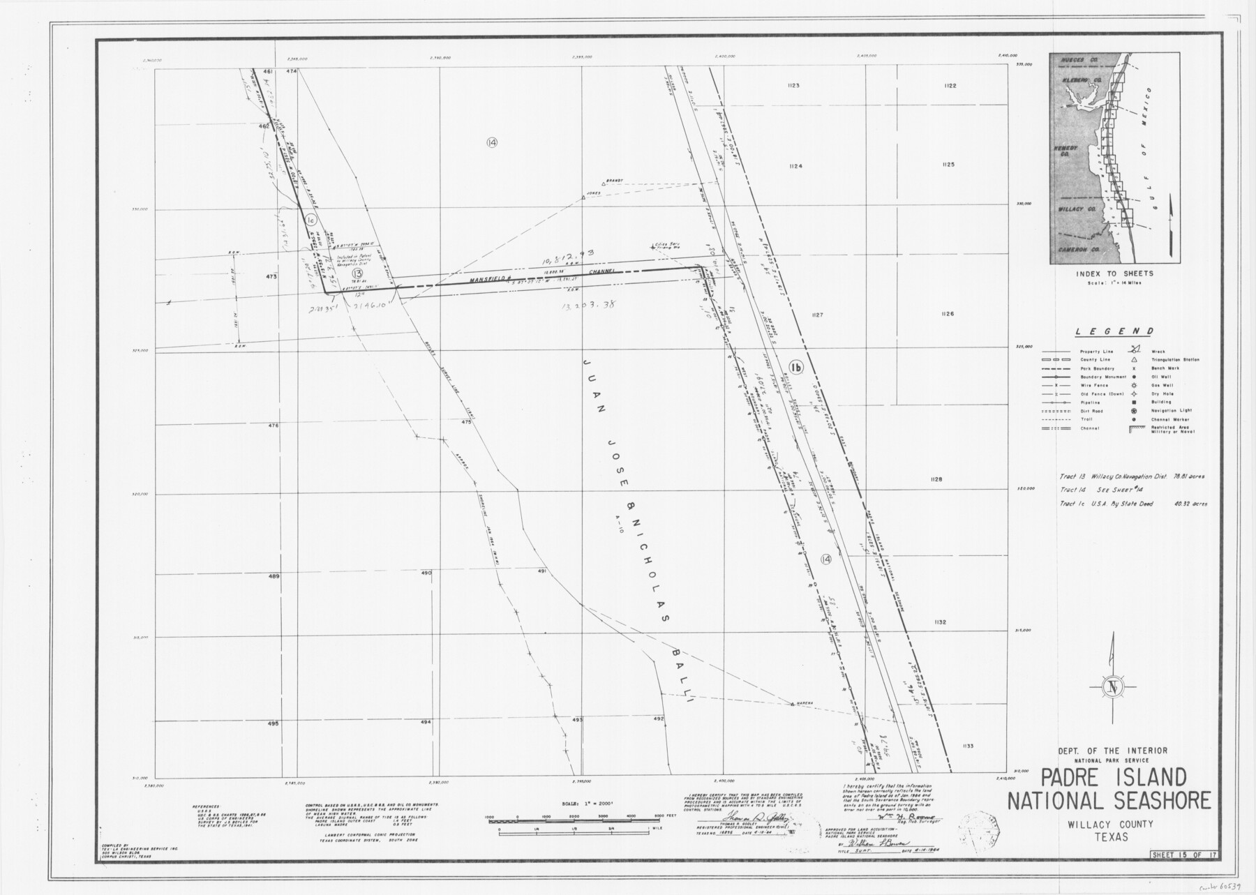
Padre Island National Seashore
17 survey plats of Padre Island National Seashore
N-2-125
-
Map/Doc
60539
-
Collection
General Map Collection
-
Counties
Willacy
-
Height x Width
15.9 x 22.3 inches
40.4 x 56.6 cm
Part of: General Map Collection
Nueces County Sketch File 25

Print $14.00
- Digital $50.00
Nueces County Sketch File 25
1876
Size 8.7 x 6.3 inches
Map/Doc 32572
McMullen County Sketch File 32-33

Print $16.00
- Digital $50.00
McMullen County Sketch File 32-33
1875
Size 10.1 x 8.0 inches
Map/Doc 31392
Fisher County

Print $20.00
- Digital $50.00
Fisher County
1921
Size 45.2 x 41.0 inches
Map/Doc 16829
Crockett County Working Sketch 89

Print $20.00
- Digital $50.00
Crockett County Working Sketch 89
1978
Size 36.4 x 44.5 inches
Map/Doc 68422
Dawson County Working Sketch 4

Print $20.00
- Digital $50.00
Dawson County Working Sketch 4
1926
Size 32.2 x 23.8 inches
Map/Doc 68549
Edwards County Working Sketch 8

Print $20.00
- Digital $50.00
Edwards County Working Sketch 8
1918
Size 19.2 x 31.2 inches
Map/Doc 68884
Collin County Boundary File 18c

Print $12.00
- Digital $50.00
Collin County Boundary File 18c
Size 12.9 x 8.1 inches
Map/Doc 51733
Cherokee County Sketch File 22a

Print $20.00
- Digital $50.00
Cherokee County Sketch File 22a
Size 17.5 x 14.6 inches
Map/Doc 11072
Jeff Davis County Sketch File 12

Print $38.00
- Digital $50.00
Jeff Davis County Sketch File 12
1920
Size 14.6 x 9.1 inches
Map/Doc 27922
Stephens County Sketch File 9

Print $42.00
- Digital $50.00
Stephens County Sketch File 9
Size 8.2 x 5.5 inches
Map/Doc 37029
Fannin County Working Sketch 7

Print $20.00
- Digital $50.00
Fannin County Working Sketch 7
1952
Size 25.4 x 28.5 inches
Map/Doc 69161
Atascosa County Rolled Sketch 5B1

Print $20.00
- Digital $50.00
Atascosa County Rolled Sketch 5B1
Size 14.6 x 11.7 inches
Map/Doc 5090
You may also like
Crosby County Sketch File 16

Print $20.00
- Digital $50.00
Crosby County Sketch File 16
1904
Size 31.7 x 9.6 inches
Map/Doc 11251
Parker County Boundary File 2

Print $8.00
- Digital $50.00
Parker County Boundary File 2
Size 11.2 x 8.8 inches
Map/Doc 57835
Harris County Rolled Sketch 76

Print $20.00
- Digital $50.00
Harris County Rolled Sketch 76
1951
Size 37.0 x 24.0 inches
Map/Doc 6113
Map of Texas. The Proposed Reoccupation of the Rio Grande -- Its Importance to the Union

Print $20.00
Map of Texas. The Proposed Reoccupation of the Rio Grande -- Its Importance to the Union
1863
Size 14.1 x 8.7 inches
Map/Doc 76263
Aransas County NRC Article 33.136 Sketch 9

Print $24.00
- Digital $50.00
Aransas County NRC Article 33.136 Sketch 9
2013
Size 24.0 x 36.0 inches
Map/Doc 94469

Dickens County Sketch File E

Print $8.00
- Digital $50.00
Dickens County Sketch File E
Size 11.3 x 8.7 inches
Map/Doc 20843
Reagan County Rolled Sketch 2

Print $40.00
- Digital $50.00
Reagan County Rolled Sketch 2
1903
Size 52.4 x 37.3 inches
Map/Doc 10621
Donley County Sketch File B5

Print $20.00
- Digital $50.00
Donley County Sketch File B5
1918
Size 22.5 x 18.4 inches
Map/Doc 11375
Hudspeth County Rolled Sketch 30

Print $20.00
- Digital $50.00
Hudspeth County Rolled Sketch 30
1924
Size 36.0 x 47.3 inches
Map/Doc 9210
Cottle County Sketch File 9

Print $6.00
- Digital $50.00
Cottle County Sketch File 9
1893
Size 16.4 x 10.8 inches
Map/Doc 19487
Presidio County Rolled Sketch 113

Print $20.00
- Digital $50.00
Presidio County Rolled Sketch 113
1978
Size 22.2 x 27.8 inches
Map/Doc 7389