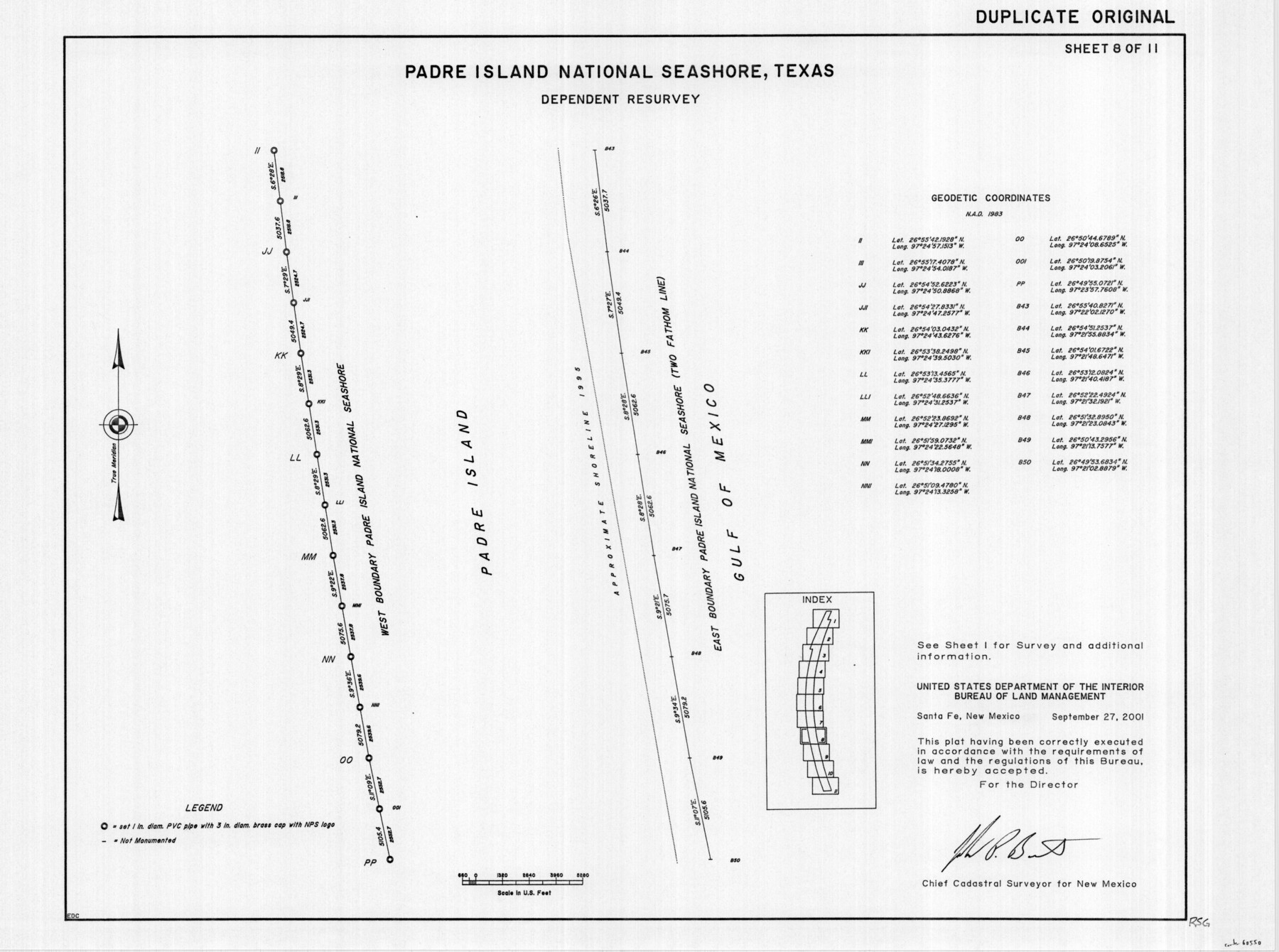
Padre Island National Seashore, Texas - Dependent Resurvey
-
Map/Doc
60550
-
Collection
General Map Collection
-
Object Dates
2001 (Creation Date)
-
Height x Width
17.9 x 24.0 inches
45.5 x 61.0 cm
Part of: General Map Collection
Val Verde County Sketch File 15 and 16

Print $60.00
- Digital $50.00
Val Verde County Sketch File 15 and 16
1883
Size 8.9 x 4.1 inches
Map/Doc 39207
Childress County Rolled Sketch 19

Print $20.00
- Digital $50.00
Childress County Rolled Sketch 19
2004
Size 24.6 x 18.6 inches
Map/Doc 81937
Flight Mission No. DQN-5K, Frame 57, Calhoun County

Print $20.00
- Digital $50.00
Flight Mission No. DQN-5K, Frame 57, Calhoun County
1953
Size 18.9 x 22.4 inches
Map/Doc 84400
Archer County Boundary File 6

Print $62.00
- Digital $50.00
Archer County Boundary File 6
Size 22.5 x 6.1 inches
Map/Doc 50113
Flight Mission No. BRE-1P, Frame 66, Nueces County

Print $20.00
- Digital $50.00
Flight Mission No. BRE-1P, Frame 66, Nueces County
1956
Size 18.5 x 22.4 inches
Map/Doc 86648
Newton County Sketch File 47

Print $20.00
- Digital $50.00
Newton County Sketch File 47
1932
Size 18.9 x 21.9 inches
Map/Doc 42159
Wood County Sketch File 8

Print $6.00
- Digital $50.00
Wood County Sketch File 8
1850
Size 12.5 x 8.3 inches
Map/Doc 40653
Wise County Sketch File 54

Print $22.00
- Digital $50.00
Wise County Sketch File 54
2012
Size 11.0 x 8.5 inches
Map/Doc 93553
Flight Mission No. BQY-4M, Frame 67, Harris County

Print $20.00
- Digital $50.00
Flight Mission No. BQY-4M, Frame 67, Harris County
1953
Size 18.7 x 22.4 inches
Map/Doc 85276
Kendall County Working Sketch 3

Print $20.00
- Digital $50.00
Kendall County Working Sketch 3
1941
Size 18.0 x 18.3 inches
Map/Doc 66675
Polk County Sketch File 29 1/2

Print $4.00
- Digital $50.00
Polk County Sketch File 29 1/2
Size 8.7 x 12.5 inches
Map/Doc 34204
Dallam County Sketch File 8

Print $8.00
- Digital $50.00
Dallam County Sketch File 8
1903
Size 11.2 x 8.7 inches
Map/Doc 20353
You may also like
T and P as Surveyed January 1876, Blocks 35-36

Print $40.00
- Digital $50.00
T and P as Surveyed January 1876, Blocks 35-36
1876
Size 29.0 x 95.2 inches
Map/Doc 93184
Map Showing the Route of the Arkansas Regiment from Shreveport La. To San Antonio de Bexar Texas

Print $20.00
- Digital $50.00
Map Showing the Route of the Arkansas Regiment from Shreveport La. To San Antonio de Bexar Texas
Size 12.5 x 19.5 inches
Map/Doc 94000
Nolan County Sketch File 20

Print $40.00
- Digital $50.00
Nolan County Sketch File 20
1954
Size 21.1 x 22.4 inches
Map/Doc 42168
![94197, New Mexico [Verso], General Map Collection](https://historictexasmaps.com/wmedia_w700/maps/94197.tif.jpg)
Presidio County Rolled Sketch 76

Print $20.00
- Digital $50.00
Presidio County Rolled Sketch 76
Size 24.3 x 36.4 inches
Map/Doc 9777
Upton County Rolled Sketch 10

Print $20.00
- Digital $50.00
Upton County Rolled Sketch 10
1911
Size 41.2 x 43.0 inches
Map/Doc 10035
[Sketch showing School Lands]
![90449, [Sketch showing School Lands], Twichell Survey Records](https://historictexasmaps.com/wmedia_w700/maps/90449-1.tif.jpg)
Print $20.00
- Digital $50.00
[Sketch showing School Lands]
Size 25.4 x 12.5 inches
Map/Doc 90449
Stonewall County Sketch File AA1

Print $26.00
- Digital $50.00
Stonewall County Sketch File AA1
1916
Size 14.3 x 8.6 inches
Map/Doc 37288
International Railroad Map & Profile of the Second Fifty Miles East of Brazos River

Print $40.00
- Digital $50.00
International Railroad Map & Profile of the Second Fifty Miles East of Brazos River
1877
Size 19.8 x 76.6 inches
Map/Doc 64465
Sketch of Surveys on Peach Point, J. Perry's Property

Print $20.00
- Digital $50.00
Sketch of Surveys on Peach Point, J. Perry's Property
1832
Size 14.0 x 20.6 inches
Map/Doc 219

Uvalde County Working Sketch 67

Print $20.00
- Digital $50.00
Uvalde County Working Sketch 67
1956
Size 22.8 x 20.9 inches
Map/Doc 75973