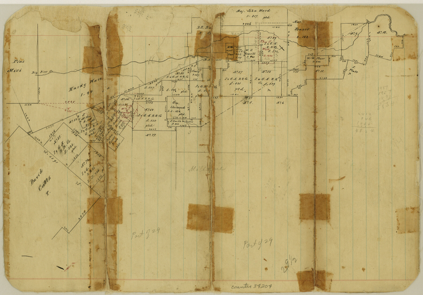
Polk County Sketch File 29 1/2
[Sketch of surveys along and south of Big Pine Creek]
-
Map/Doc
34204
-
Collection
General Map Collection
-
Counties
Polk Tyler
-
Subjects
Surveying Sketch File
-
Height x Width
8.7 x 12.5 inches
22.1 x 31.8 cm
-
Medium
paper, manuscript
-
Features
Big Pine Creek
Part of: General Map Collection
Flight Mission No. DAG-23K, Frame 17, Matagorda County

Print $20.00
- Digital $50.00
Flight Mission No. DAG-23K, Frame 17, Matagorda County
1953
Size 18.5 x 22.2 inches
Map/Doc 86479
Crockett County Working Sketch 17

Print $20.00
- Digital $50.00
Crockett County Working Sketch 17
1918
Size 17.9 x 24.6 inches
Map/Doc 68350
Crockett County Working Sketch 57

Print $20.00
- Digital $50.00
Crockett County Working Sketch 57
1954
Size 35.9 x 38.8 inches
Map/Doc 68390
Val Verde County Working Sketch 43

Print $20.00
- Digital $50.00
Val Verde County Working Sketch 43
1945
Size 39.3 x 37.2 inches
Map/Doc 72178
Flight Mission No. DQN-1K, Frame 155, Calhoun County

Print $20.00
- Digital $50.00
Flight Mission No. DQN-1K, Frame 155, Calhoun County
1953
Size 18.5 x 22.2 inches
Map/Doc 84214
Bandera County Sketch File 19

Print $40.00
- Digital $50.00
Bandera County Sketch File 19
Size 15.9 x 18.9 inches
Map/Doc 10893
Sterling County Sketch File 7

Print $25.00
- Digital $50.00
Sterling County Sketch File 7
1926
Size 11.7 x 12.1 inches
Map/Doc 37121
Flight Mission No. DQO-8K, Frame 45, Galveston County

Print $20.00
- Digital $50.00
Flight Mission No. DQO-8K, Frame 45, Galveston County
1952
Size 18.8 x 22.3 inches
Map/Doc 85152
Coke County Sketch File 29

Print $20.00
- Digital $50.00
Coke County Sketch File 29
Size 10.9 x 21.8 inches
Map/Doc 11114
East Part of West Bay and Southwest Part of Galveston Bay, Galveston County, showing Subdivision for Mineral Development

Print $40.00
- Digital $50.00
East Part of West Bay and Southwest Part of Galveston Bay, Galveston County, showing Subdivision for Mineral Development
1963
Size 42.2 x 58.2 inches
Map/Doc 1906
Coleman County Sketch File 17

Print $4.00
- Digital $50.00
Coleman County Sketch File 17
Size 12.6 x 7.9 inches
Map/Doc 18685
Montgomery County Working Sketch 33

Print $20.00
- Digital $50.00
Montgomery County Working Sketch 33
1950
Size 28.8 x 28.2 inches
Map/Doc 71140
You may also like
Pecos County Rolled Sketch 91

Print $20.00
- Digital $50.00
Pecos County Rolled Sketch 91
Size 23.6 x 34.7 inches
Map/Doc 9710
St Francis situated in Potter and Carson Counties, Texas

Print $20.00
- Digital $50.00
St Francis situated in Potter and Carson Counties, Texas
Size 15.1 x 19.2 inches
Map/Doc 93084
College Park Addition to the City of Lubbock Located on Section 9, Block B

Print $20.00
- Digital $50.00
College Park Addition to the City of Lubbock Located on Section 9, Block B
Size 12.9 x 15.9 inches
Map/Doc 92277
Smith County Sketch File 12

Print $4.00
- Digital $50.00
Smith County Sketch File 12
1859
Size 8.3 x 12.0 inches
Map/Doc 36769
Stonewall County

Print $20.00
- Digital $50.00
Stonewall County
1888
Size 17.8 x 24.6 inches
Map/Doc 89055
Atascosa County Sketch File 19

Print $6.00
- Digital $50.00
Atascosa County Sketch File 19
1854
Size 8.8 x 7.2 inches
Map/Doc 13784
Harris County Working Sketch 34

Print $40.00
- Digital $50.00
Harris County Working Sketch 34
1937
Size 37.5 x 52.1 inches
Map/Doc 65926
Flight Mission No. DAH-17M, Frame 67, Orange County

Print $20.00
- Digital $50.00
Flight Mission No. DAH-17M, Frame 67, Orange County
1953
Size 18.5 x 22.3 inches
Map/Doc 86901
Wharton County Sketch File 13a

Print $20.00
- Digital $50.00
Wharton County Sketch File 13a
1894
Size 18.3 x 28.7 inches
Map/Doc 12663
Armstrong County Sketch File A-5

Print $40.00
- Digital $50.00
Armstrong County Sketch File A-5
1918
Size 18.0 x 28.2 inches
Map/Doc 10846
[Nathaniel H. Cochran Survey and Vicinity]
![91498, [Nathaniel H. Cochran Survey and Vicinity], Twichell Survey Records](https://historictexasmaps.com/wmedia_w700/maps/91498-1.tif.jpg)
Print $20.00
- Digital $50.00
[Nathaniel H. Cochran Survey and Vicinity]
Size 25.4 x 18.7 inches
Map/Doc 91498
Stephens County Working Sketch 37

Print $40.00
- Digital $50.00
Stephens County Working Sketch 37
1983
Size 42.9 x 67.7 inches
Map/Doc 63980