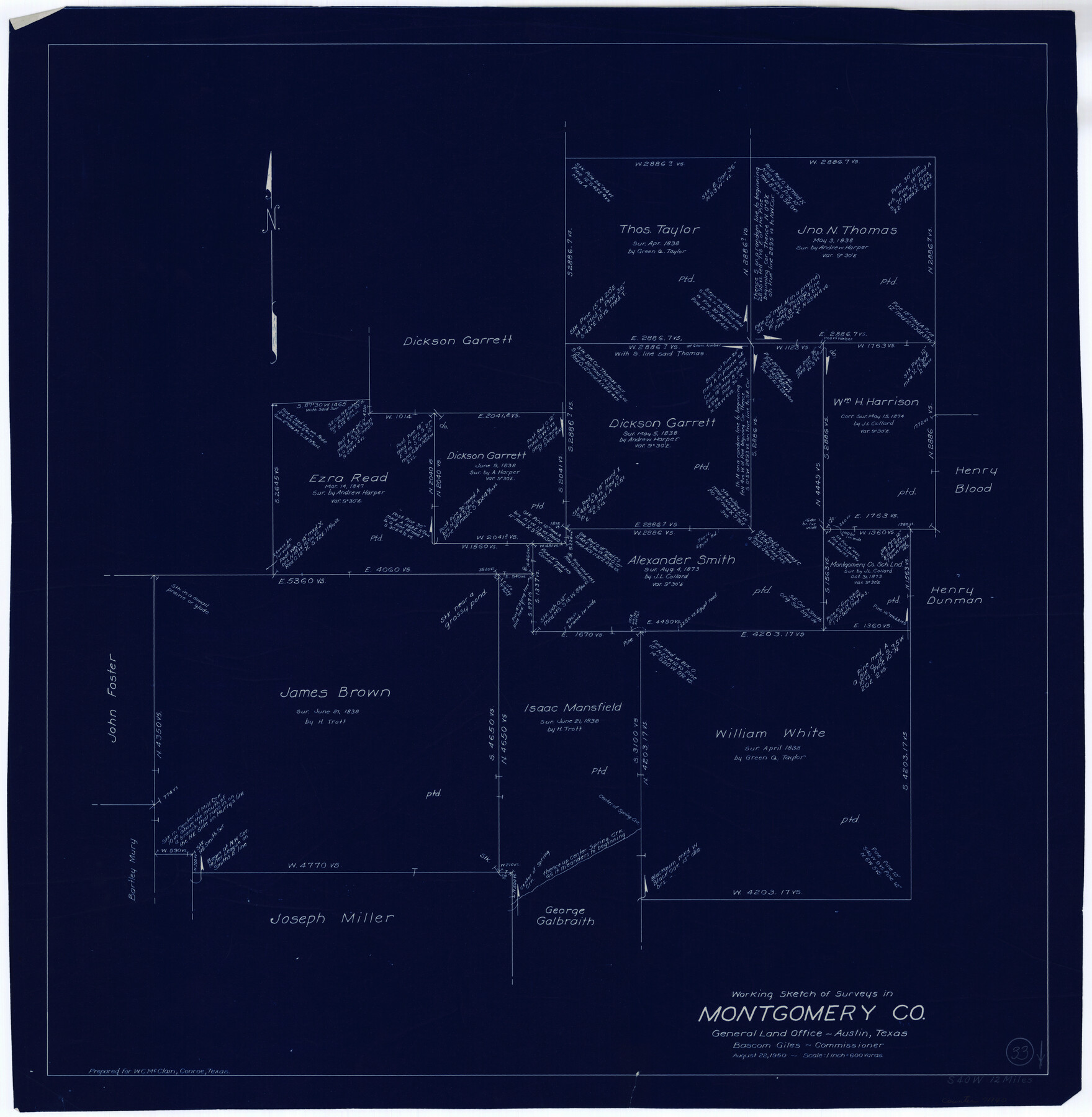
Montgomery County Working Sketch 33
-
Map/Doc
71140
-
Collection
General Map Collection
-
Object Dates
8/22/1950 (Creation Date)
-
Counties
Montgomery
-
Subjects
Surveying Working Sketch
-
Height x Width
28.8 x 28.2 inches
73.2 x 71.6 cm
-
Scale
1" = 600 varas
Part of: General Map Collection
Briscoe County Sketch File H-1

Print $40.00
- Digital $50.00
Briscoe County Sketch File H-1
Size 21.7 x 18.2 inches
Map/Doc 11006
Supreme Court of the United States, October Term, 1923, No. 15, Original - The State of Oklahoma, Complainant vs. The State of Texas, Defendant, The United States, Intervener; Report of the Boundary Commissioners

Print $20.00
- Digital $50.00
Supreme Court of the United States, October Term, 1923, No. 15, Original - The State of Oklahoma, Complainant vs. The State of Texas, Defendant, The United States, Intervener; Report of the Boundary Commissioners
1923
Size 46.4 x 33.4 inches
Map/Doc 75122
Martin County Boundary File 2a

Print $6.00
- Digital $50.00
Martin County Boundary File 2a
Size 14.1 x 8.8 inches
Map/Doc 56776
A New and Accurate Map of Louisiana with parts of Florida and Canada and the Adjacent Countries

Print $20.00
- Digital $50.00
A New and Accurate Map of Louisiana with parts of Florida and Canada and the Adjacent Countries
1747
Size 15.8 x 18.6 inches
Map/Doc 93680
Bandera County Working Sketch 16b

Print $20.00
- Digital $50.00
Bandera County Working Sketch 16b
1941
Size 18.9 x 23.1 inches
Map/Doc 67610
Map of Kimble County, 1860

Print $20.00
- Digital $50.00
Map of Kimble County, 1860
1860
Size 20.7 x 30.5 inches
Map/Doc 3769
Fort Bend County Working Sketch 29

Print $20.00
- Digital $50.00
Fort Bend County Working Sketch 29
1983
Size 21.6 x 19.2 inches
Map/Doc 69235
Dimmit County Working Sketch 49

Print $40.00
- Digital $50.00
Dimmit County Working Sketch 49
1980
Size 78.8 x 44.7 inches
Map/Doc 68710
Presidio County Sketch File 65

Print $6.00
- Digital $50.00
Presidio County Sketch File 65
1940
Size 11.0 x 15.3 inches
Map/Doc 34654
Sutton County Sketch File 57

Print $24.00
- Digital $50.00
Sutton County Sketch File 57
1961
Size 11.2 x 8.8 inches
Map/Doc 37542
Cameron County Rolled Sketch US2

Print $168.00
- Digital $50.00
Cameron County Rolled Sketch US2
1913
Size 10.4 x 16.3 inches
Map/Doc 43804
Uvalde County Working Sketch 9

Print $20.00
- Digital $50.00
Uvalde County Working Sketch 9
1942
Size 18.3 x 24.4 inches
Map/Doc 72079
You may also like
Pecos County Rolled Sketch 173

Print $20.00
- Digital $50.00
Pecos County Rolled Sketch 173
Size 32.2 x 35.6 inches
Map/Doc 9751
Crosby County Boundary File 4a

Print $30.00
- Digital $50.00
Crosby County Boundary File 4a
Size 8.8 x 32.8 inches
Map/Doc 52028
Cass County Working Sketch 24

Print $20.00
- Digital $50.00
Cass County Working Sketch 24
1973
Size 35.6 x 27.7 inches
Map/Doc 67927
Map of Coryell County

Print $20.00
- Digital $50.00
Map of Coryell County
1863
Size 23.1 x 27.4 inches
Map/Doc 3443
2026 Save Texas History™ Map Calendar
.jpg)
Price $5.00
2026 Save Texas History™ Map Calendar
2025
Size 11.0 x 8.5 inches
Map/Doc 97491
Map of Cottle County

Print $20.00
- Digital $50.00
Map of Cottle County
1893
Size 23.1 x 19.4 inches
Map/Doc 3451
Kerr County Boundary File 4

Print $4.00
- Digital $50.00
Kerr County Boundary File 4
Size 11.1 x 8.3 inches
Map/Doc 64799
Hale County Rolled Sketch 3

Print $40.00
- Digital $50.00
Hale County Rolled Sketch 3
1891
Size 51.7 x 24.1 inches
Map/Doc 9093

Flight Mission No. DCL-6C, Frame 70, Kenedy County

Print $20.00
- Digital $50.00
Flight Mission No. DCL-6C, Frame 70, Kenedy County
1943
Size 18.6 x 22.3 inches
Map/Doc 85912
Hunt County Working Sketch 2

Print $20.00
- Digital $50.00
Hunt County Working Sketch 2
Size 20.5 x 16.5 inches
Map/Doc 66349
Texas Intracoastal Waterway - Matagorda Bay, Cedar Lakes to Oyster Lake

Digital $50.00
Texas Intracoastal Waterway - Matagorda Bay, Cedar Lakes to Oyster Lake
1956
Size 27.5 x 38.6 inches
Map/Doc 73368