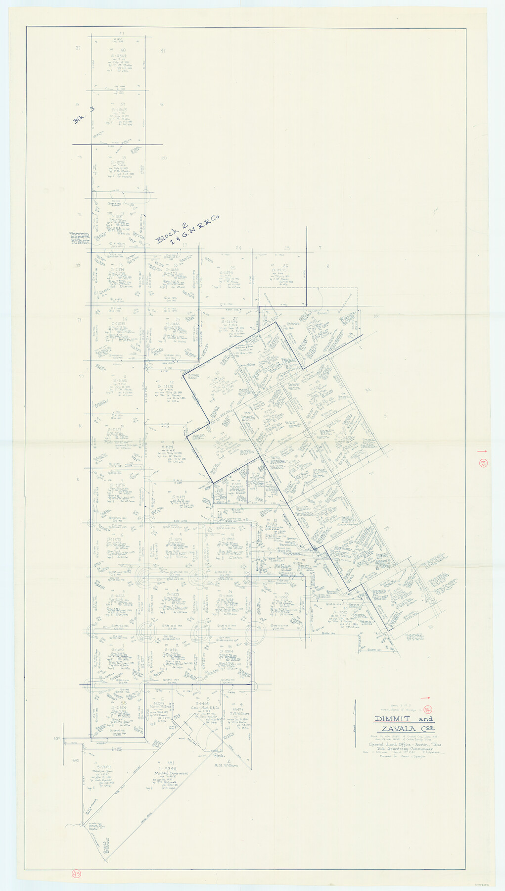
Dimmit County Working Sketch 49
-
Map/Doc
68710
-
Collection
General Map Collection
-
Object Dates
4/17/1980 (Creation Date)
-
People and Organizations
Joan Kilpatrick (Draftsman)
-
Counties
Dimmit Zavala
-
Subjects
Surveying Working Sketch
-
Height x Width
78.8 x 44.7 inches
200.2 x 113.5 cm
-
Scale
1" = 400 varas
Part of: General Map Collection
Marion County Working Sketch 38

Print $20.00
- Digital $50.00
Marion County Working Sketch 38
1991
Size 35.5 x 39.9 inches
Map/Doc 70814
Houston County Working Sketch 13

Print $20.00
- Digital $50.00
Houston County Working Sketch 13
1956
Size 39.3 x 39.6 inches
Map/Doc 66243
Railroad Track Map, H&TCRRCo., Falls County, Texas

Print $4.00
- Digital $50.00
Railroad Track Map, H&TCRRCo., Falls County, Texas
1918
Size 11.7 x 18.4 inches
Map/Doc 62862
Map of Part of Espiritu Santo and San Antonio Bays and Vicinity, Texas

Print $40.00
- Digital $50.00
Map of Part of Espiritu Santo and San Antonio Bays and Vicinity, Texas
1859
Size 31.6 x 53.1 inches
Map/Doc 69983
Brewster County Sketch File 24

Print $40.00
- Digital $50.00
Brewster County Sketch File 24
1957
Size 14.3 x 15.5 inches
Map/Doc 15831
Archer County Sketch File 15

Print $40.00
- Digital $50.00
Archer County Sketch File 15
1886
Size 16.6 x 17.9 inches
Map/Doc 10827
Right of Way and Track Map International & Gt. Northern Ry. operated by the International & Gt. Northern Ry. Co., Gulf Division, Columbia Branch

Print $40.00
- Digital $50.00
Right of Way and Track Map International & Gt. Northern Ry. operated by the International & Gt. Northern Ry. Co., Gulf Division, Columbia Branch
1917
Size 25.3 x 56.7 inches
Map/Doc 64601
Map of Navisota County

Print $20.00
- Digital $50.00
Map of Navisota County
Size 27.5 x 19.6 inches
Map/Doc 3328
Red River, Bois D'Arc Creek Floodway Sheet No. 8

Print $20.00
- Digital $50.00
Red River, Bois D'Arc Creek Floodway Sheet No. 8
1928
Size 17.6 x 24.8 inches
Map/Doc 65272
Comal County Working Sketch Graphic Index

Print $20.00
- Digital $50.00
Comal County Working Sketch Graphic Index
1947
Size 41.8 x 35.9 inches
Map/Doc 76501
Hutchinson County Working Sketch 10

Print $20.00
- Digital $50.00
Hutchinson County Working Sketch 10
1920
Size 42.4 x 32.4 inches
Map/Doc 66368
Intracoastal Waterway - Port Arthur to Galveston Bay

Print $20.00
- Digital $50.00
Intracoastal Waterway - Port Arthur to Galveston Bay
1961
Size 26.7 x 38.8 inches
Map/Doc 69834
You may also like
Polk County Sketch File 2

Print $4.00
- Digital $50.00
Polk County Sketch File 2
1856
Size 8.2 x 8.1 inches
Map/Doc 34118
Hutchinson County Sketch File 46

Print $50.00
- Digital $50.00
Hutchinson County Sketch File 46
1981
Size 11.2 x 8.7 inches
Map/Doc 27365
[Sketch for Mineral Application 19560 - 19588 - San Bernard River]
![65659, [Sketch for Mineral Application 19560 - 19588 - San Bernard River], General Map Collection](https://historictexasmaps.com/wmedia_w700/maps/65659.tif.jpg)
Print $40.00
- Digital $50.00
[Sketch for Mineral Application 19560 - 19588 - San Bernard River]
Size 32.7 x 97.6 inches
Map/Doc 65659
Bandera County Sketch File 25

Print $6.00
- Digital $50.00
Bandera County Sketch File 25
Size 10.6 x 15.9 inches
Map/Doc 10896
Karnes County Sketch File 7

Print $10.00
- Digital $50.00
Karnes County Sketch File 7
1863
Size 10.6 x 8.2 inches
Map/Doc 28559
Martin County Rolled Sketch 8

Print $20.00
- Digital $50.00
Martin County Rolled Sketch 8
Size 28.8 x 20.9 inches
Map/Doc 6668
Bird's Eye View of Gatesville, Coryell County, Texas

Print $20.00
Bird's Eye View of Gatesville, Coryell County, Texas
1884
Size 15.7 x 24.2 inches
Map/Doc 89088
Lane Estate Ranch, Gaines County, Texas

Print $20.00
- Digital $50.00
Lane Estate Ranch, Gaines County, Texas
1954
Size 9.1 x 20.8 inches
Map/Doc 92677
Shelby County Working Sketch 17

Print $20.00
- Digital $50.00
Shelby County Working Sketch 17
1957
Size 20.4 x 31.0 inches
Map/Doc 63870
Nueces County Sketch File 48

Print $20.00
- Digital $50.00
Nueces County Sketch File 48
1978
Size 14.1 x 8.5 inches
Map/Doc 32663
Oldham County

Print $40.00
- Digital $50.00
Oldham County
1925
Size 41.5 x 53.2 inches
Map/Doc 95604
Floyd County Sketch File 24

Print $6.00
- Digital $50.00
Floyd County Sketch File 24
1915
Size 9.0 x 14.5 inches
Map/Doc 22780