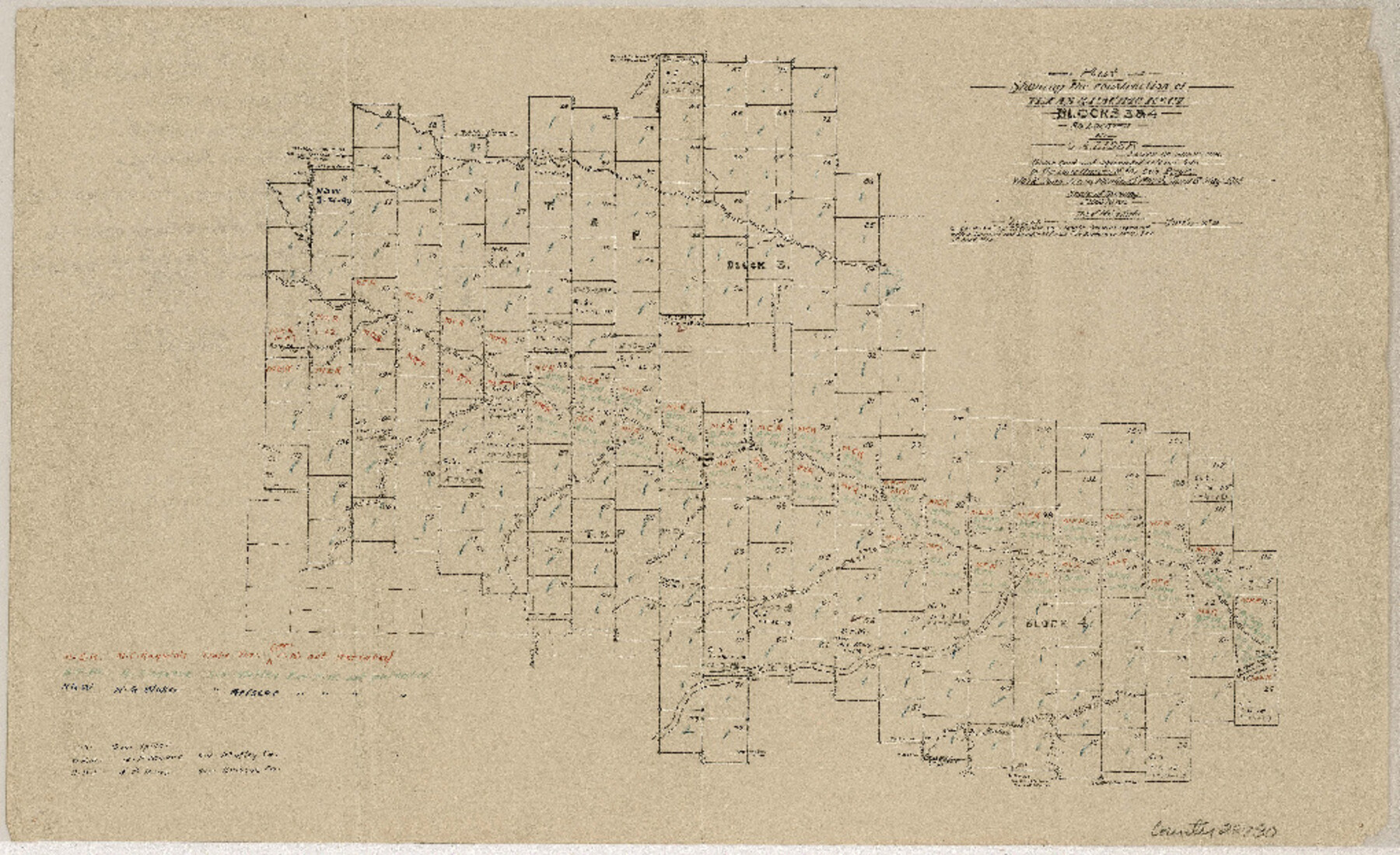
Floyd County Sketch File 24
[Sketch of T. & P. Blocks 3 and 4 in connection with boundary suit in Federal Court at Amarillo]
-
Map/Doc
22780
-
Collection
General Map Collection
-
Object Dates
1915/9/13 (Creation Date)
-
People and Organizations
M.E. Ragsdale (Surveyor/Engineer)
B.F. Moore (Surveyor/Engineer)
N.G. Waller (Surveyor/Engineer)
George Spiller (Surveyor/Engineer)
H.P. Jones (Surveyor/Engineer)
George A. Lider (Surveyor/Engineer)
-
Counties
Floyd Briscoe Hall Motley
-
Subjects
Surveying Sketch File
-
Height x Width
9.0 x 14.5 inches
22.9 x 36.8 cm
-
Medium
paper, manuscript
-
Scale
1" = 1000 varas
-
Features
Kent Creek
Quitaque Creek
Pease River
Zico Creek
Related maps
Briscoe County Rolled Sketch 14

Print $40.00
- Digital $50.00
Briscoe County Rolled Sketch 14
1913
Size 36.0 x 48.9 inches
Map/Doc 8529
Briscoe County Rolled Sketch 14A

Print $40.00
- Digital $50.00
Briscoe County Rolled Sketch 14A
1913
Size 34.6 x 48.1 inches
Map/Doc 8530
Part of: General Map Collection
Baylor County Working Sketch Graphic Index

Print $20.00
- Digital $50.00
Baylor County Working Sketch Graphic Index
1961
Size 41.1 x 33.6 inches
Map/Doc 76463
Hudspeth County Working Sketch 44

Print $20.00
- Digital $50.00
Hudspeth County Working Sketch 44
1982
Size 25.5 x 22.2 inches
Map/Doc 66329
Flight Mission No. DQN-1K, Frame 125, Calhoun County

Print $20.00
- Digital $50.00
Flight Mission No. DQN-1K, Frame 125, Calhoun County
1953
Size 18.4 x 22.1 inches
Map/Doc 84191
Upshur County Rolled Sketch 5

Print $20.00
- Digital $50.00
Upshur County Rolled Sketch 5
2000
Size 35.2 x 24.4 inches
Map/Doc 8064
Shelby County Working Sketch 35

Print $20.00
- Digital $50.00
Shelby County Working Sketch 35
2010
Size 27.4 x 28.3 inches
Map/Doc 89285
Bandera County Rolled Sketch 3

Print $20.00
- Digital $50.00
Bandera County Rolled Sketch 3
1947
Size 29.3 x 35.8 inches
Map/Doc 5115
Flight Mission No. DQN-2K, Frame 146, Calhoun County

Print $20.00
- Digital $50.00
Flight Mission No. DQN-2K, Frame 146, Calhoun County
1953
Size 18.9 x 22.5 inches
Map/Doc 84315
University Lands Blocks 21 to 26, Pecos County, Texas

Print $40.00
- Digital $50.00
University Lands Blocks 21 to 26, Pecos County, Texas
1939
Size 48.4 x 39.9 inches
Map/Doc 2450
Flight Mission No. BRA-7M, Frame 24, Jefferson County

Print $20.00
- Digital $50.00
Flight Mission No. BRA-7M, Frame 24, Jefferson County
1953
Size 18.6 x 22.3 inches
Map/Doc 85475
Flight Mission No. BRE-2P, Frame 108, Nueces County

Print $20.00
- Digital $50.00
Flight Mission No. BRE-2P, Frame 108, Nueces County
1956
Size 18.5 x 22.5 inches
Map/Doc 86793

Topographisch-geognostische Karte von Texas mit Zugrundelegung der geographischen Karte v. Wilson nach eigenen Beobachtungen bearbeitet von Dr. Ferd. Roemer

Print $20.00
- Digital $50.00
Topographisch-geognostische Karte von Texas mit Zugrundelegung der geographischen Karte v. Wilson nach eigenen Beobachtungen bearbeitet von Dr. Ferd. Roemer
1849
Size 23.5 x 21.0 inches
Map/Doc 96523
You may also like
International Railroad Map & Profile of the Second Fifty Miles East of Brazos River

Print $40.00
- Digital $50.00
International Railroad Map & Profile of the Second Fifty Miles East of Brazos River
1877
Size 19.8 x 76.6 inches
Map/Doc 64465
St. Louis, Brownsville & Mexico Railway Location Map from Mile 40 to Mile 60

Print $40.00
- Digital $50.00
St. Louis, Brownsville & Mexico Railway Location Map from Mile 40 to Mile 60
1905
Size 20.3 x 136.1 inches
Map/Doc 89282
Gaines County Working Sketch 3

Print $20.00
- Digital $50.00
Gaines County Working Sketch 3
1939
Size 45.6 x 43.8 inches
Map/Doc 69303
Flight Mission No. DCL-7C, Frame 8, Kenedy County

Print $20.00
- Digital $50.00
Flight Mission No. DCL-7C, Frame 8, Kenedy County
1943
Size 15.4 x 15.2 inches
Map/Doc 86000
Fort Bend County Working Sketch 1

Print $20.00
- Digital $50.00
Fort Bend County Working Sketch 1
Size 16.0 x 27.4 inches
Map/Doc 69207
Flight Mission No. BQR-9K, Frame 11, Brazoria County

Print $20.00
- Digital $50.00
Flight Mission No. BQR-9K, Frame 11, Brazoria County
1952
Size 18.7 x 22.4 inches
Map/Doc 84040
Yoakum County Sketch File 10b

Print $20.00
- Digital $50.00
Yoakum County Sketch File 10b
Size 22.4 x 15.8 inches
Map/Doc 12707
Map of Live Oak County, Texas

Print $20.00
- Digital $50.00
Map of Live Oak County, Texas
1911
Size 28.0 x 20.4 inches
Map/Doc 567
Eastland County Working Sketch 32

Print $20.00
- Digital $50.00
Eastland County Working Sketch 32
1956
Size 23.0 x 16.9 inches
Map/Doc 68813
Lamar County Working Sketch 8

Print $20.00
- Digital $50.00
Lamar County Working Sketch 8
1969
Size 39.3 x 31.6 inches
Map/Doc 70269
La Salle County Working Sketch 15

Print $20.00
- Digital $50.00
La Salle County Working Sketch 15
1935
Size 27.4 x 17.2 inches
Map/Doc 70316
Uvalde County Sketch File 28

Print $10.00
- Digital $50.00
Uvalde County Sketch File 28
1980
Size 14.8 x 8.9 inches
Map/Doc 39023