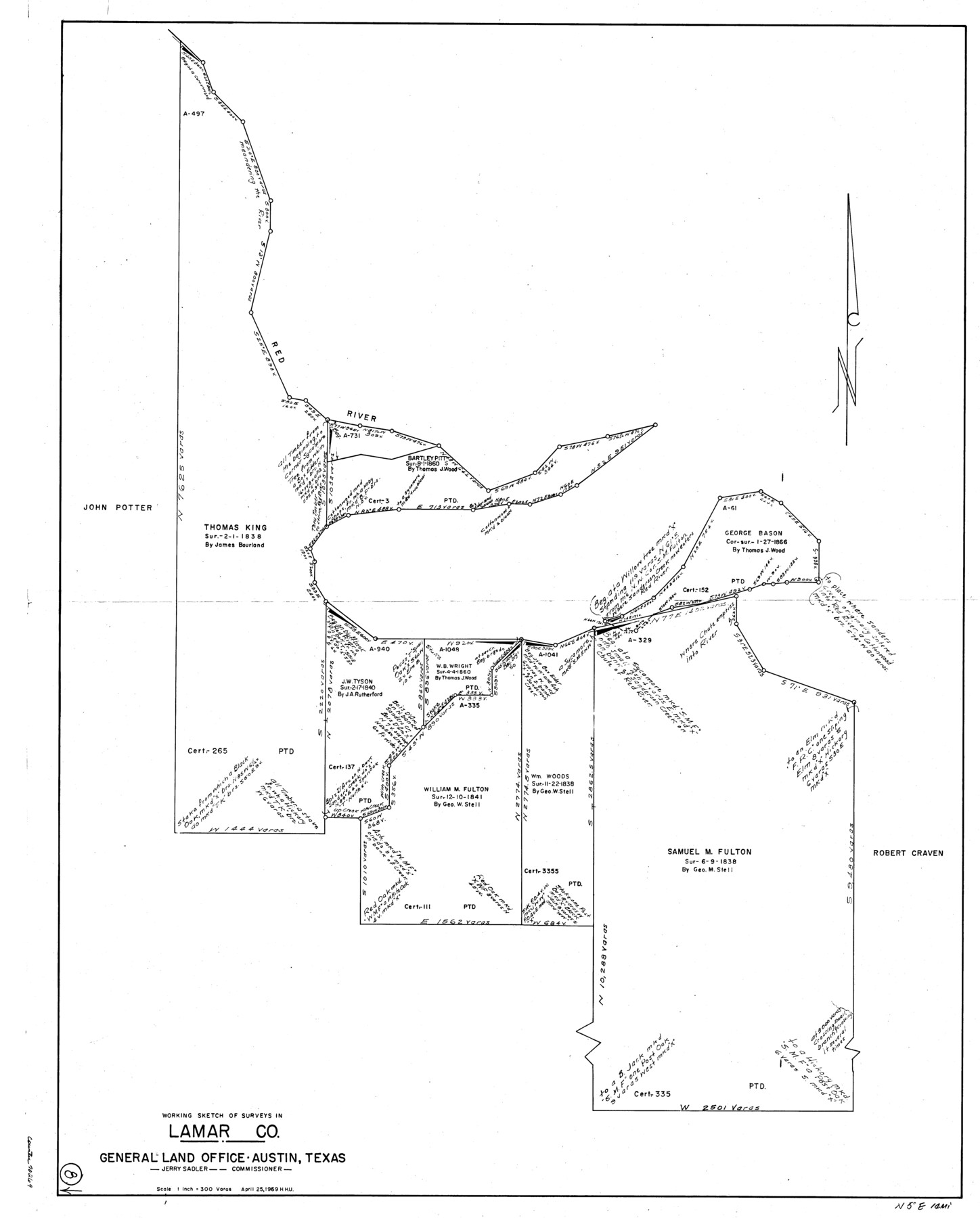
Lamar County Working Sketch 8
-
Map/Doc
70269
-
Collection
General Map Collection
-
Object Dates
4/25/1969 (Creation Date)
-
People and Organizations
Herbert H. Ulbricht (Draftsman)
-
Counties
Lamar
-
Subjects
Surveying Working Sketch
-
Height x Width
39.3 x 31.6 inches
99.8 x 80.3 cm
-
Scale
1" = 300 varas
Part of: General Map Collection
Erath County Rolled Sketch 4

Print $20.00
- Digital $50.00
Erath County Rolled Sketch 4
Size 29.1 x 40.9 inches
Map/Doc 5866
Flight Mission No. DAG-24K, Frame 146, Matagorda County

Print $20.00
- Digital $50.00
Flight Mission No. DAG-24K, Frame 146, Matagorda County
1953
Size 18.6 x 22.2 inches
Map/Doc 86560
Fort Bend County Working Sketch 7

Print $20.00
- Digital $50.00
Fort Bend County Working Sketch 7
1918
Size 20.6 x 30.7 inches
Map/Doc 69213
Kaufman County Boundary File 2

Print $22.00
- Digital $50.00
Kaufman County Boundary File 2
Size 14.1 x 8.6 inches
Map/Doc 55911
Dallam County Boundary File 2

Print $18.00
- Digital $50.00
Dallam County Boundary File 2
Size 8.7 x 4.3 inches
Map/Doc 52053
Eastland County Sketch File 2

Print $26.00
- Digital $50.00
Eastland County Sketch File 2
Size 8.1 x 7.9 inches
Map/Doc 21559
Wise County Working Sketch 31

Print $20.00
- Digital $50.00
Wise County Working Sketch 31
2009
Size 27.9 x 37.5 inches
Map/Doc 89985
[Surveys in the Travis District along the Colorado and Pedernales Rivers]
![113, [Surveys in the Travis District along the Colorado and Pedernales Rivers], General Map Collection](https://historictexasmaps.com/wmedia_w700/maps/113.tif.jpg)
Print $2.00
- Digital $50.00
[Surveys in the Travis District along the Colorado and Pedernales Rivers]
1841
Size 9.9 x 8.2 inches
Map/Doc 113
Flight Mission No. BQR-7K, Frame 26, Brazoria County

Print $20.00
- Digital $50.00
Flight Mission No. BQR-7K, Frame 26, Brazoria County
1952
Size 18.7 x 22.3 inches
Map/Doc 84024
Irion County Rolled Sketch 4

Print $20.00
- Digital $50.00
Irion County Rolled Sketch 4
Size 25.6 x 36.4 inches
Map/Doc 6319
Freestone County Working Sketch 31a

Print $20.00
- Digital $50.00
Freestone County Working Sketch 31a
1996
Size 25.4 x 31.9 inches
Map/Doc 69273
El Paso County Working Sketch 42

Print $20.00
- Digital $50.00
El Paso County Working Sketch 42
Size 24.6 x 26.6 inches
Map/Doc 69064
You may also like
Maverick County Sketch File 24

Print $36.00
- Digital $50.00
Maverick County Sketch File 24
1890
Size 9.1 x 8.7 inches
Map/Doc 31145
Ward County Working Sketch 42

Print $20.00
- Digital $50.00
Ward County Working Sketch 42
1970
Size 42.2 x 41.3 inches
Map/Doc 72348
Nueces County Rolled Sketch 61

Print $20.00
- Digital $50.00
Nueces County Rolled Sketch 61
1977
Size 32.2 x 39.3 inches
Map/Doc 6907
[Sketch of all of County]
![89972, [Sketch of all of County], Twichell Survey Records](https://historictexasmaps.com/wmedia_w700/maps/89972-1.tif.jpg)
Print $40.00
- Digital $50.00
[Sketch of all of County]
Size 71.0 x 44.3 inches
Map/Doc 89972
Austin County Sketch File 10

Print $40.00
- Digital $50.00
Austin County Sketch File 10
1895
Size 25.5 x 21.0 inches
Map/Doc 10875
Karnes County Boundary File 4

Print $14.00
- Digital $50.00
Karnes County Boundary File 4
Size 12.7 x 8.2 inches
Map/Doc 55698
McMullen County Sketch File 28

Print $20.00
- Digital $50.00
McMullen County Sketch File 28
1884
Size 24.8 x 28.1 inches
Map/Doc 12061
Brown County Rolled Sketch 2

Print $20.00
- Digital $50.00
Brown County Rolled Sketch 2
1984
Size 42.4 x 25.2 inches
Map/Doc 5349
Val Verde County Working Sketch 102

Print $20.00
- Digital $50.00
Val Verde County Working Sketch 102
1981
Size 30.2 x 30.3 inches
Map/Doc 72237
General Highway Map, Jim Hogg County, Texas

Print $20.00
General Highway Map, Jim Hogg County, Texas
1940
Size 24.8 x 18.5 inches
Map/Doc 79146
Terrell County Rolled Sketch 58

Print $40.00
- Digital $50.00
Terrell County Rolled Sketch 58
1931
Size 49.1 x 41.8 inches
Map/Doc 9993
Current Miscellaneous File 98

Print $40.00
- Digital $50.00
Current Miscellaneous File 98
Size 18.4 x 26.3 inches
Map/Doc 74338