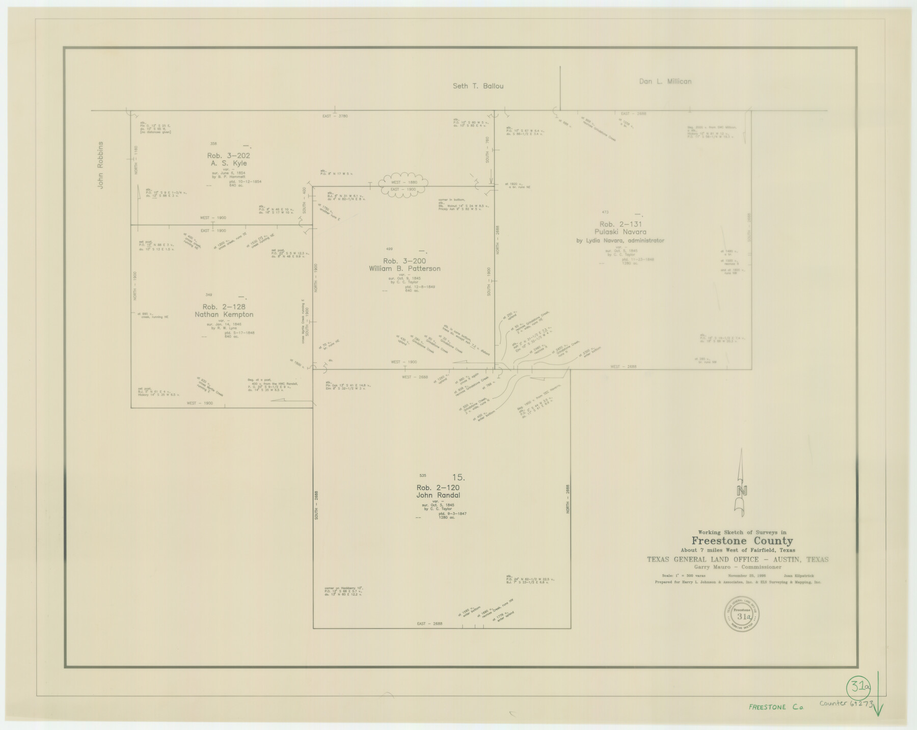
Freestone County Working Sketch 31a
-
Map/Doc
69273
-
Collection
General Map Collection
-
Object Dates
11/25/1996 (Creation Date)
-
People and Organizations
Joan Kilpatrick (Draftsman)
-
Counties
Freestone
-
Subjects
Surveying Working Sketch
-
Height x Width
25.4 x 31.9 inches
64.5 x 81.0 cm
-
Scale
1" = 300 varas
Part of: General Map Collection
Cass County Sketch File 23

Print $10.00
- Digital $50.00
Cass County Sketch File 23
1936
Size 14.1 x 8.6 inches
Map/Doc 17435
Runnels County Working Sketch 16

Print $20.00
- Digital $50.00
Runnels County Working Sketch 16
1950
Size 30.1 x 35.5 inches
Map/Doc 63612
Wilbarger County Sketch File 8

Print $4.00
- Digital $50.00
Wilbarger County Sketch File 8
1885
Size 14.2 x 8.6 inches
Map/Doc 40179
Runnels County Working Sketch 4

Print $20.00
- Digital $50.00
Runnels County Working Sketch 4
1906
Size 15.1 x 19.3 inches
Map/Doc 63600
Sutton County Working Sketch 67

Print $20.00
- Digital $50.00
Sutton County Working Sketch 67
1972
Size 37.7 x 36.7 inches
Map/Doc 62410
Flight Mission No. BRE-1P, Frame 147, Nueces County

Print $20.00
- Digital $50.00
Flight Mission No. BRE-1P, Frame 147, Nueces County
1956
Size 18.5 x 22.3 inches
Map/Doc 86707
Leon County Sketch File 3

Print $4.00
- Digital $50.00
Leon County Sketch File 3
Size 12.4 x 7.9 inches
Map/Doc 29713
Wood County Working Sketch 16

Print $20.00
- Digital $50.00
Wood County Working Sketch 16
1987
Size 21.7 x 17.7 inches
Map/Doc 62016
Atascosa County Sketch File 5

Print $8.00
- Digital $50.00
Atascosa County Sketch File 5
1856
Size 8.2 x 12.4 inches
Map/Doc 13748
Pecos County Working Sketch 84

Print $20.00
- Digital $50.00
Pecos County Working Sketch 84
1961
Size 26.1 x 23.0 inches
Map/Doc 71556
Armstrong County Sketch File A-3

Print $40.00
- Digital $50.00
Armstrong County Sketch File A-3
Size 21.3 x 23.7 inches
Map/Doc 10844
Fisher County Sketch File 7

Print $4.00
- Digital $50.00
Fisher County Sketch File 7
1893
Size 14.6 x 9.1 inches
Map/Doc 22565
You may also like
La Salle County Sketch File 9

Print $4.00
- Digital $50.00
La Salle County Sketch File 9
Size 6.3 x 8.3 inches
Map/Doc 29458
Runnels County Working Sketch 3

Print $20.00
- Digital $50.00
Runnels County Working Sketch 3
1888
Size 22.1 x 20.3 inches
Map/Doc 63599
Tarrant County Sketch File 27

Print $4.00
- Digital $50.00
Tarrant County Sketch File 27
Size 8.0 x 9.6 inches
Map/Doc 37741
Galveston County NRC Article 33.136 Sketch 39

Print $24.00
- Digital $50.00
Galveston County NRC Article 33.136 Sketch 39
2005
Size 25.0 x 25.4 inches
Map/Doc 83084
Crosby County Sketch File 11b

Print $20.00
- Digital $50.00
Crosby County Sketch File 11b
1890
Size 17.2 x 15.6 inches
Map/Doc 11247
Dawson County Sketch File 25

Print $4.00
- Digital $50.00
Dawson County Sketch File 25
1950
Size 11.9 x 8.9 inches
Map/Doc 20581
Flight Mission No. BRA-8M, Frame 85, Jefferson County

Print $20.00
- Digital $50.00
Flight Mission No. BRA-8M, Frame 85, Jefferson County
1953
Size 18.7 x 22.3 inches
Map/Doc 85605
Burnet County Sketch File 27

Print $4.00
- Digital $50.00
Burnet County Sketch File 27
1874
Size 12.7 x 8.1 inches
Map/Doc 16730
Flight Mission No. DIX-8P, Frame 67, Aransas County

Print $20.00
- Digital $50.00
Flight Mission No. DIX-8P, Frame 67, Aransas County
1956
Size 18.7 x 22.4 inches
Map/Doc 83898
Johnson County Sketch File 14a

Print $6.00
- Digital $50.00
Johnson County Sketch File 14a
1862
Size 8.0 x 11.1 inches
Map/Doc 28452
Denton County Working Sketch 7

Print $20.00
- Digital $50.00
Denton County Working Sketch 7
1958
Size 26.0 x 28.8 inches
Map/Doc 68612
Kimble County Rolled Sketch 29

Print $20.00
- Digital $50.00
Kimble County Rolled Sketch 29
Size 27.5 x 31.0 inches
Map/Doc 6519