[Surveys in the Travis District along the Colorado and Pedernales Rivers]
Atlas E, Page 13, Sketch 1 (E-13-1)
E-13-1
-
Map/Doc
113
-
Collection
General Map Collection
-
Object Dates
1841/6/7 (Creation Date)
-
People and Organizations
H.L. Upshur (GLO Clerk)
-
Counties
Blanco Travis
-
Subjects
Atlas
-
Height x Width
9.9 x 8.2 inches
25.1 x 20.8 cm
-
Medium
paper, manuscript
-
Comments
Conserved in 2004.
-
Features
Colorado River
Perdinalis [sic] River
Part of: General Map Collection
Lubbock County Boundary File 6
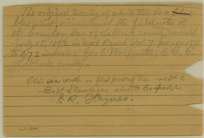

Print $58.00
- Digital $50.00
Lubbock County Boundary File 6
Size 4.7 x 7.0 inches
Map/Doc 56494
Gregg County Sketch File 1F


Print $4.00
- Digital $50.00
Gregg County Sketch File 1F
1850
Size 12.2 x 7.8 inches
Map/Doc 24547
Midland County Rolled Sketch 14


Print $20.00
- Digital $50.00
Midland County Rolled Sketch 14
1996
Size 21.3 x 26.7 inches
Map/Doc 6769
Potter County Sketch File 24
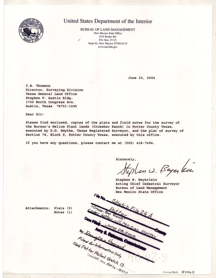

Print $13.00
- Digital $50.00
Potter County Sketch File 24
Size 11.0 x 8.5 inches
Map/Doc 82463
Rockwall County Boundary File 1
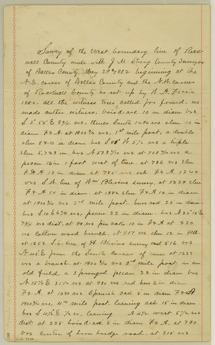

Print $10.00
- Digital $50.00
Rockwall County Boundary File 1
Size 13.3 x 8.3 inches
Map/Doc 58380
Flight Mission No. BRE-1P, Frame 27, Nueces County


Print $20.00
- Digital $50.00
Flight Mission No. BRE-1P, Frame 27, Nueces County
1956
Size 18.5 x 22.4 inches
Map/Doc 86622
Aransas County Rolled Sketch 12
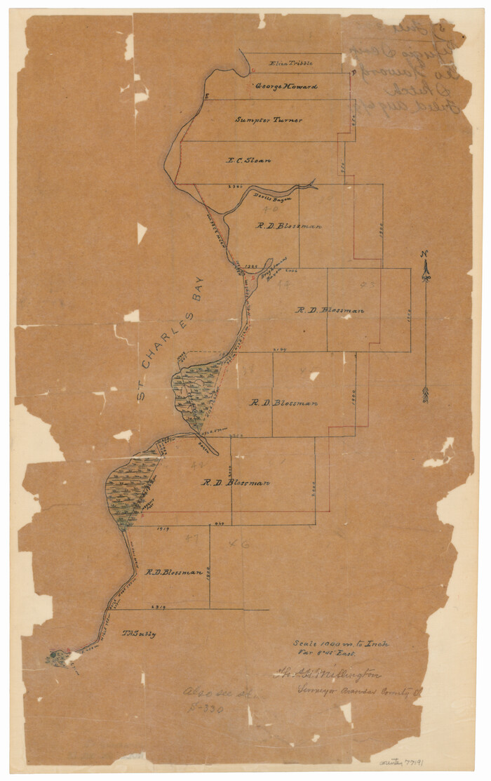

Print $20.00
- Digital $50.00
Aransas County Rolled Sketch 12
Size 17.6 x 11.1 inches
Map/Doc 77191
Terrell County


Print $20.00
- Digital $50.00
Terrell County
1905
Size 40.5 x 32.3 inches
Map/Doc 4075
Red River County Working Sketch 54
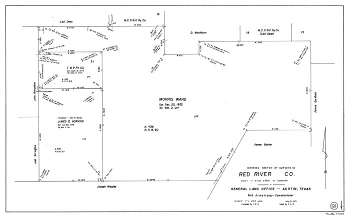

Print $20.00
- Digital $50.00
Red River County Working Sketch 54
1971
Size 19.3 x 31.1 inches
Map/Doc 72037
Gray County Working Sketch Graphic Index


Print $20.00
- Digital $50.00
Gray County Working Sketch Graphic Index
1900
Size 43.3 x 39.4 inches
Map/Doc 76557
F. W. & D. C. Ry. Co. Alignment and Right of Way Map, Clay County
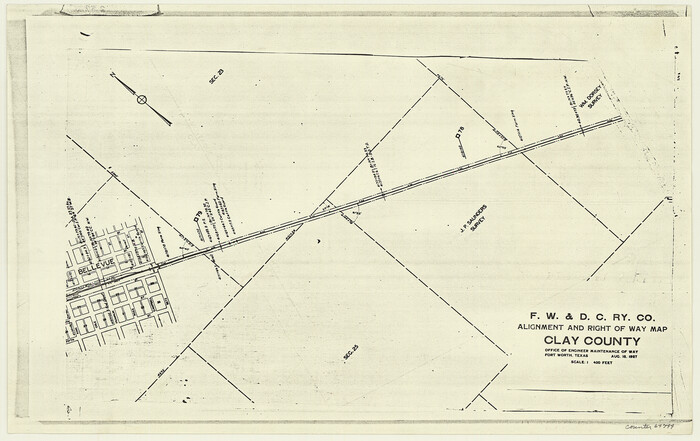

Print $20.00
- Digital $50.00
F. W. & D. C. Ry. Co. Alignment and Right of Way Map, Clay County
1927
Size 11.8 x 18.7 inches
Map/Doc 64744
Motley County Sketch File 12 (S)
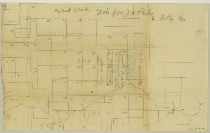

Print $4.00
- Digital $50.00
Motley County Sketch File 12 (S)
Size 8.4 x 13.2 inches
Map/Doc 32187
You may also like
Map of Madison County


Print $20.00
- Digital $50.00
Map of Madison County
1880
Size 17.0 x 24.9 inches
Map/Doc 3832
The Republic County of Brazos. Created, January 30, 1841


Print $20.00
The Republic County of Brazos. Created, January 30, 1841
2020
Size 20.6 x 21.7 inches
Map/Doc 96116
Flight Mission No. DQN-6K, Frame 13, Calhoun County


Print $20.00
- Digital $50.00
Flight Mission No. DQN-6K, Frame 13, Calhoun County
1953
Size 18.5 x 22.2 inches
Map/Doc 84435
South Part Brewster Co.
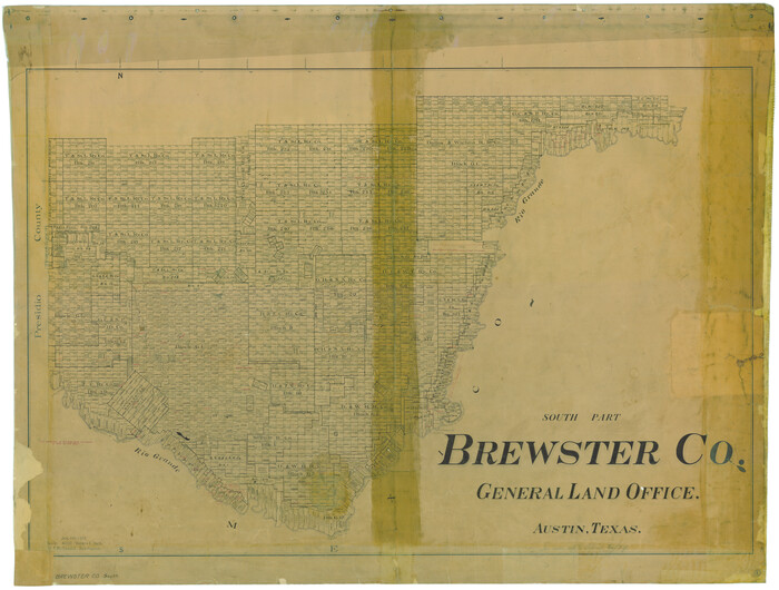

Print $40.00
- Digital $50.00
South Part Brewster Co.
1915
Size 39.2 x 51.8 inches
Map/Doc 4760
Flight Mission No. CRC-4R, Frame 75, Chambers County
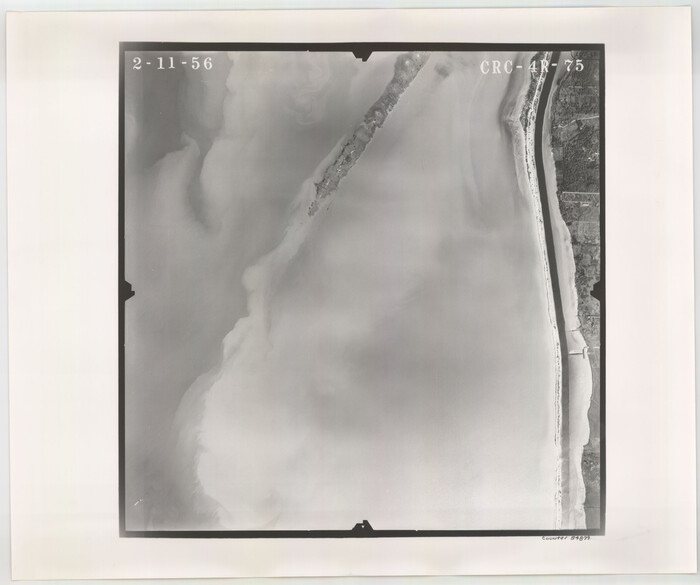

Print $20.00
- Digital $50.00
Flight Mission No. CRC-4R, Frame 75, Chambers County
1956
Size 18.6 x 22.3 inches
Map/Doc 84879
Denton County Sketch File 14


Print $10.00
- Digital $50.00
Denton County Sketch File 14
1855
Size 8.6 x 10.0 inches
Map/Doc 20719
Johnson County Working Sketch 19


Print $20.00
- Digital $50.00
Johnson County Working Sketch 19
1990
Size 35.2 x 42.5 inches
Map/Doc 66632
Goliad County Working Sketch 7
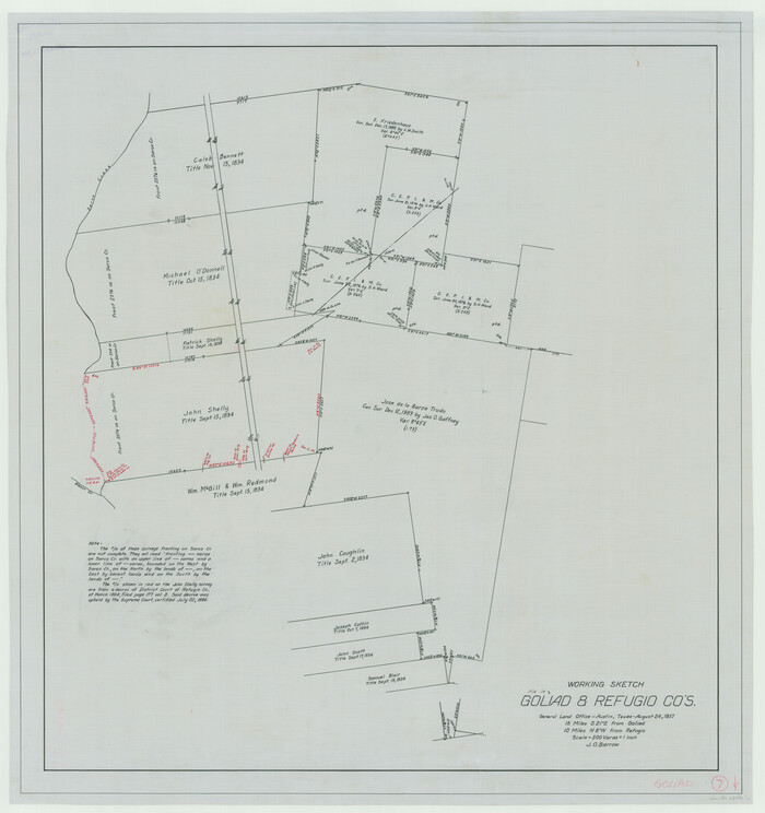

Print $20.00
- Digital $50.00
Goliad County Working Sketch 7
1937
Size 35.0 x 32.9 inches
Map/Doc 63197
Fractional Township No. 9 South Range No. 8 East of the Indian Meridian, Indian Territory
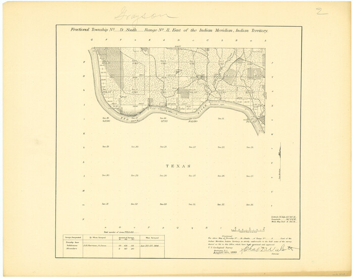

Print $20.00
- Digital $50.00
Fractional Township No. 9 South Range No. 8 East of the Indian Meridian, Indian Territory
1898
Size 19.2 x 24.4 inches
Map/Doc 75215
Official Highway Map of the State of Vermont
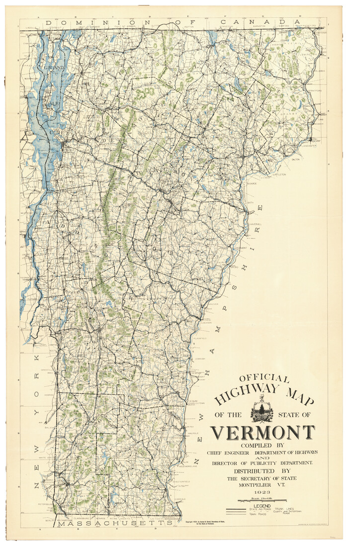

Print $20.00
- Digital $50.00
Official Highway Map of the State of Vermont
1923
Size 44.8 x 28.6 inches
Map/Doc 97112
C. D. Collard's Lines

Print $20.00
- Digital $50.00
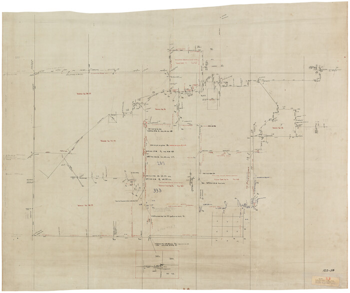
C. D. Collard's Lines
Size 44.1 x 47.0 inches
Map/Doc 90704
Pecos County Sketch File 110


Print $22.00
- Digital $50.00
Pecos County Sketch File 110
1913
Size 12.9 x 8.8 inches
Map/Doc 34041
![113, [Surveys in the Travis District along the Colorado and Pedernales Rivers], General Map Collection](https://historictexasmaps.com/wmedia_w1800h1800/maps/113.tif.jpg)