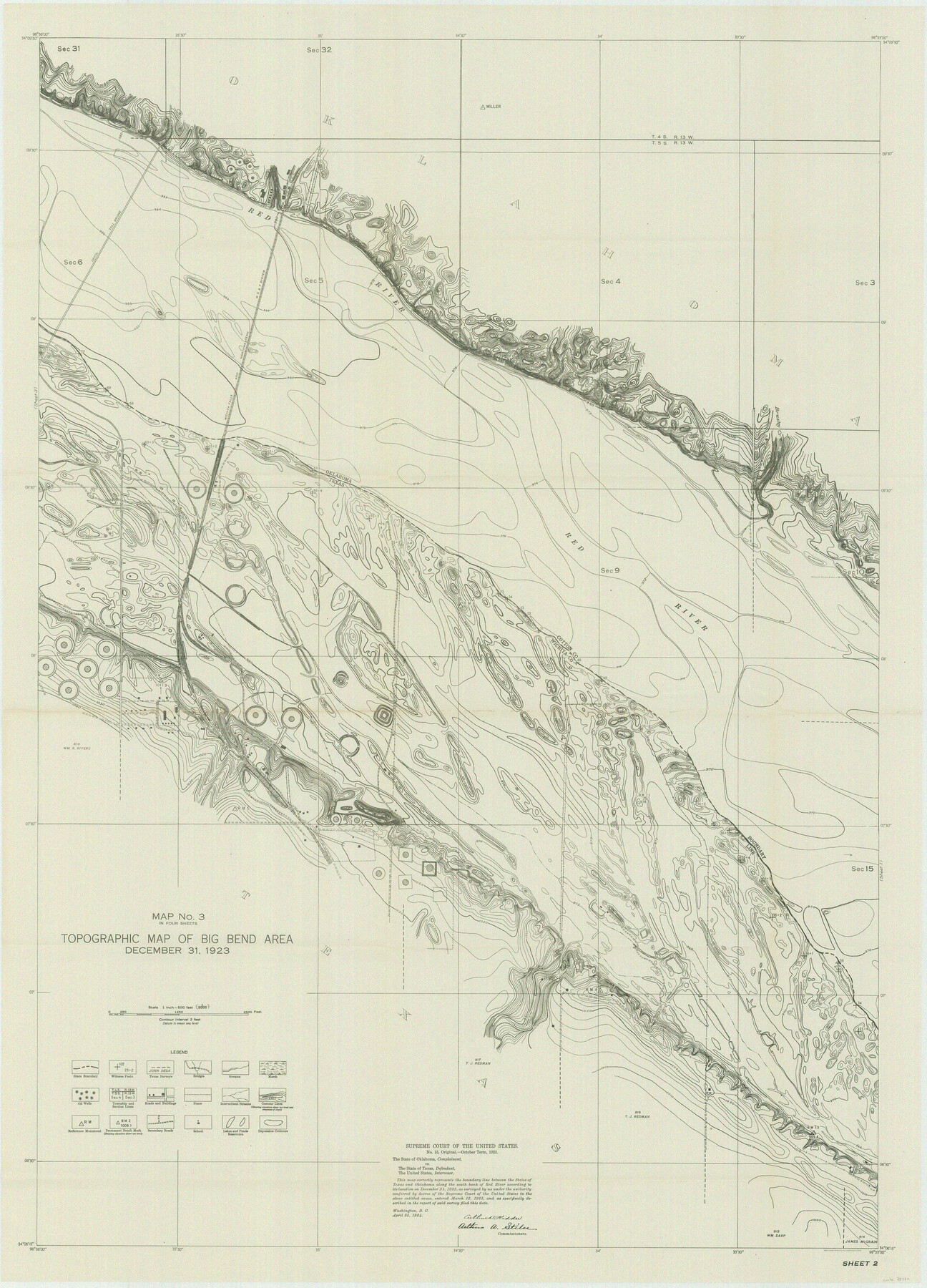
Supreme Court of the United States, October Term, 1923, No. 15, Original - The State of Oklahoma, Complainant vs. The State of Texas, Defendant, The United States, Intervener; Report of the Boundary Commissioners
Report of the Boundary Commissioners
-
Map/Doc
75122
-
Collection
General Map Collection
-
Object Dates
1923/12/31 (Creation Date)
-
Subjects
Texas Boundaries Topographic
-
Height x Width
46.4 x 33.4 inches
117.9 x 84.8 cm
Part of: General Map Collection
Kerr County Boundary File 4

Print $4.00
- Digital $50.00
Kerr County Boundary File 4
Size 11.1 x 8.3 inches
Map/Doc 64799
Leon County Sketch File 22

Print $24.00
- Digital $50.00
Leon County Sketch File 22
Size 12.8 x 8.8 inches
Map/Doc 29772
The Coast & Bays of Western Texas, St. Joseph's and Mustang Islands from actual survey, the remainder from county maps, etc.

Print $20.00
- Digital $50.00
The Coast & Bays of Western Texas, St. Joseph's and Mustang Islands from actual survey, the remainder from county maps, etc.
1857
Size 27.9 x 18.3 inches
Map/Doc 72766
Clay County Boundary File 3

Print $4.00
- Digital $50.00
Clay County Boundary File 3
Size 11.2 x 8.6 inches
Map/Doc 51364
Brewster County Working Sketch 13

Print $20.00
- Digital $50.00
Brewster County Working Sketch 13
1928
Size 39.5 x 43.9 inches
Map/Doc 67546
El Paso County Working Sketch 29

Print $40.00
- Digital $50.00
El Paso County Working Sketch 29
1967
Size 43.0 x 64.8 inches
Map/Doc 69051
Webb County Working Sketch 3

Print $20.00
- Digital $50.00
Webb County Working Sketch 3
1906
Size 18.2 x 27.2 inches
Map/Doc 72368
Val Verde County Working Sketch 75

Print $40.00
- Digital $50.00
Val Verde County Working Sketch 75
1971
Size 31.4 x 49.2 inches
Map/Doc 72210
[Surveys in Austin's Colony along New Year's Creek and the Navidad River]
![212, [Surveys in Austin's Colony along New Year's Creek and the Navidad River], General Map Collection](https://historictexasmaps.com/wmedia_w700/maps/212.tif.jpg)
Print $20.00
- Digital $50.00
[Surveys in Austin's Colony along New Year's Creek and the Navidad River]
Size 20.2 x 15.6 inches
Map/Doc 212
Right of Way and Track Map San Antonio and Aransas Pass Railway Co.

Print $4.00
- Digital $50.00
Right of Way and Track Map San Antonio and Aransas Pass Railway Co.
1919
Size 11.9 x 18.5 inches
Map/Doc 62562
Young County Working Sketch 1

Print $20.00
- Digital $50.00
Young County Working Sketch 1
1960
Size 31.1 x 41.9 inches
Map/Doc 62024
Sterling County Sketch File 4

Print $20.00
- Digital $50.00
Sterling County Sketch File 4
1906
Size 19.4 x 26.0 inches
Map/Doc 12356
You may also like
[Texas Department of Corrections Prison Farm Locations]
![78638, [Texas Department of Corrections Prison Farm Locations], General Map Collection](https://historictexasmaps.com/wmedia_w700/maps/78638.tif.jpg)
Print $40.00
- Digital $50.00
[Texas Department of Corrections Prison Farm Locations]
Size 43.0 x 54.0 inches
Map/Doc 78638
Fisher County Rolled Sketch 3

Print $20.00
- Digital $50.00
Fisher County Rolled Sketch 3
Size 40.5 x 38.6 inches
Map/Doc 8887
Clay County Sketch File 32

Print $22.00
- Digital $50.00
Clay County Sketch File 32
Size 8.6 x 7.8 inches
Map/Doc 18458
Maps of Block 97, Borden & Scurry Counties

Print $40.00
- Digital $50.00
Maps of Block 97, Borden & Scurry Counties
Size 58.2 x 42.2 inches
Map/Doc 65691
Coast Chart No. 211 - Padre I. and Laguna Madre, Lat. 27° 12' to Lat. 26° 33', Texas

Print $20.00
- Digital $50.00
Coast Chart No. 211 - Padre I. and Laguna Madre, Lat. 27° 12' to Lat. 26° 33', Texas
1890
Size 41.0 x 33.4 inches
Map/Doc 73501
Freestone County

Print $40.00
- Digital $50.00
Freestone County
1918
Size 48.4 x 41.6 inches
Map/Doc 66830
Bell County Sketch File 20

Print $4.00
- Digital $50.00
Bell County Sketch File 20
1855
Size 9.0 x 7.9 inches
Map/Doc 14406
Maverick County Sketch File 13a

Print $6.00
- Digital $50.00
Maverick County Sketch File 13a
1883
Size 14.1 x 8.8 inches
Map/Doc 31108
[Capitol Leagues in Lamb County]
![91015, [Capitol Leagues in Lamb County], Twichell Survey Records](https://historictexasmaps.com/wmedia_w700/maps/91015-1.tif.jpg)
Print $2.00
- Digital $50.00
[Capitol Leagues in Lamb County]
1912
Size 12.3 x 8.8 inches
Map/Doc 91015
Flight Mission No. DAG-23K, Frame 17, Matagorda County

Print $20.00
- Digital $50.00
Flight Mission No. DAG-23K, Frame 17, Matagorda County
1953
Size 18.5 x 22.2 inches
Map/Doc 86479

[Galveston, Harrisburg & San Antonio Railway]
![64407, [Galveston, Harrisburg & San Antonio Railway], General Map Collection](https://historictexasmaps.com/wmedia_w700/maps/64407.tif.jpg)
Print $20.00
- Digital $50.00
[Galveston, Harrisburg & San Antonio Railway]
1892
Size 13.9 x 34.0 inches
Map/Doc 64407