Coast Chart No. 211 - Padre I. and Laguna Madre, Lat. 27° 12' to Lat. 26° 33', Texas
K-2-211a1
-
Map/Doc
73501
-
Collection
General Map Collection
-
Object Dates
1890 (Creation Date)
-
Counties
Kleberg Kenedy Willacy
-
Subjects
Nautical Charts
-
Height x Width
41.0 x 33.4 inches
104.1 x 84.8 cm
Part of: General Map Collection
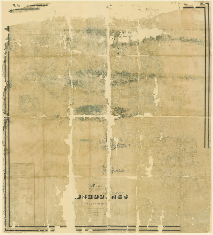
Map of Nacogdoches County

Print $40.00
- Digital $50.00
Map of Nacogdoches County
1846
Size 83.7 x 76.1 inches
Map/Doc 82243
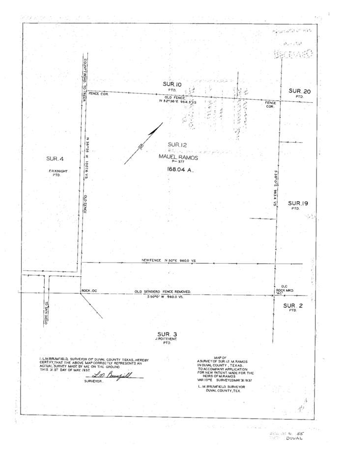
Duval County Sketch File 55

Print $20.00
- Digital $50.00
Duval County Sketch File 55
1937
Size 22.3 x 17.1 inches
Map/Doc 11404
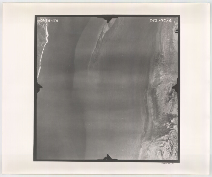
Flight Mission No. DCL-7C, Frame 4, Kenedy County

Print $20.00
- Digital $50.00
Flight Mission No. DCL-7C, Frame 4, Kenedy County
1943
Size 18.6 x 22.3 inches
Map/Doc 85996
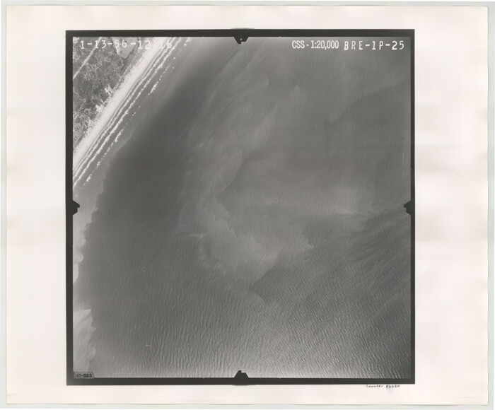
Flight Mission No. BRE-1P, Frame 25, Nueces County

Print $20.00
- Digital $50.00
Flight Mission No. BRE-1P, Frame 25, Nueces County
1956
Size 18.6 x 22.4 inches
Map/Doc 86620
Engineer's Office, Department of the Gulf Map No. 59, Texas prepared by order of Maj. Gen. N. P. Banks under direction of Capt. P. C. Hains, U. S. Engr. & Chief Engr., Dept. of the Gulf


Print $20.00
- Digital $50.00
Engineer's Office, Department of the Gulf Map No. 59, Texas prepared by order of Maj. Gen. N. P. Banks under direction of Capt. P. C. Hains, U. S. Engr. & Chief Engr., Dept. of the Gulf
1865
Size 18.3 x 27.5 inches
Map/Doc 72719
Flight Mission No. DIX-5P, Frame 145, Aransas County


Print $20.00
- Digital $50.00
Flight Mission No. DIX-5P, Frame 145, Aransas County
1956
Size 17.8 x 18.1 inches
Map/Doc 83806
Terrell County Sketch File 20
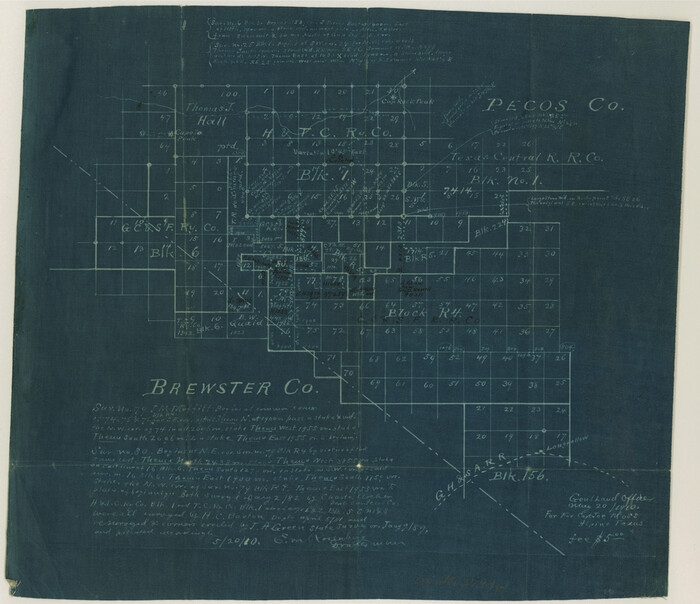

Print $6.00
- Digital $50.00
Terrell County Sketch File 20
1910
Size 10.9 x 12.6 inches
Map/Doc 37946
Houston Dis. Cochino Bayou
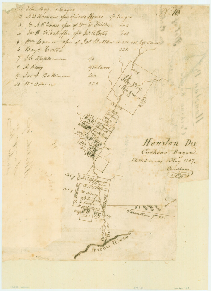

Print $2.00
- Digital $50.00
Houston Dis. Cochino Bayou
1847
Size 11.3 x 8.2 inches
Map/Doc 184
Fannin County Rolled Sketch 22
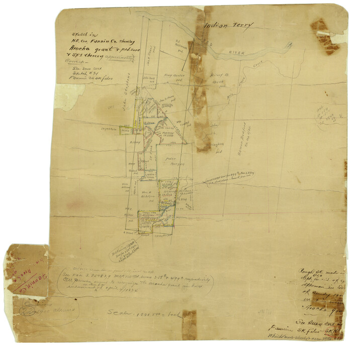

Print $20.00
- Digital $50.00
Fannin County Rolled Sketch 22
Size 19.1 x 20.7 inches
Map/Doc 5875
Young County Working Sketch Graphic Index


Print $20.00
- Digital $50.00
Young County Working Sketch Graphic Index
1941
Size 44.1 x 38.4 inches
Map/Doc 76748
Railroad Track Map, H&TCRRCo., Falls County, Texas


Print $4.00
- Digital $50.00
Railroad Track Map, H&TCRRCo., Falls County, Texas
1918
Size 11.6 x 18.6 inches
Map/Doc 62848
You may also like
Oldham County Working Sketch 10
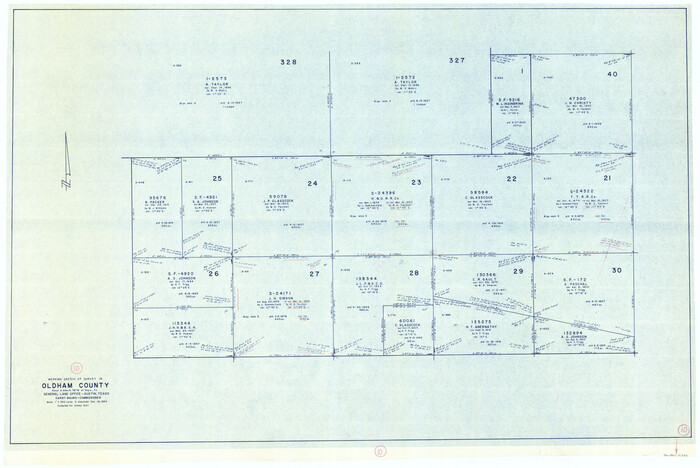

Print $20.00
- Digital $50.00
Oldham County Working Sketch 10
1983
Size 29.6 x 44.3 inches
Map/Doc 71332
Fisher County Sketch File 23
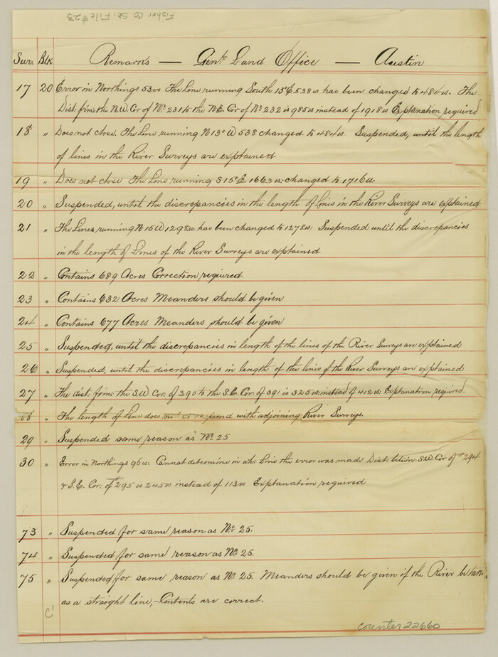

Print $12.00
- Digital $50.00
Fisher County Sketch File 23
1875
Size 10.8 x 8.2 inches
Map/Doc 22660
Working Sketch in Dickens and Crosby Cos.
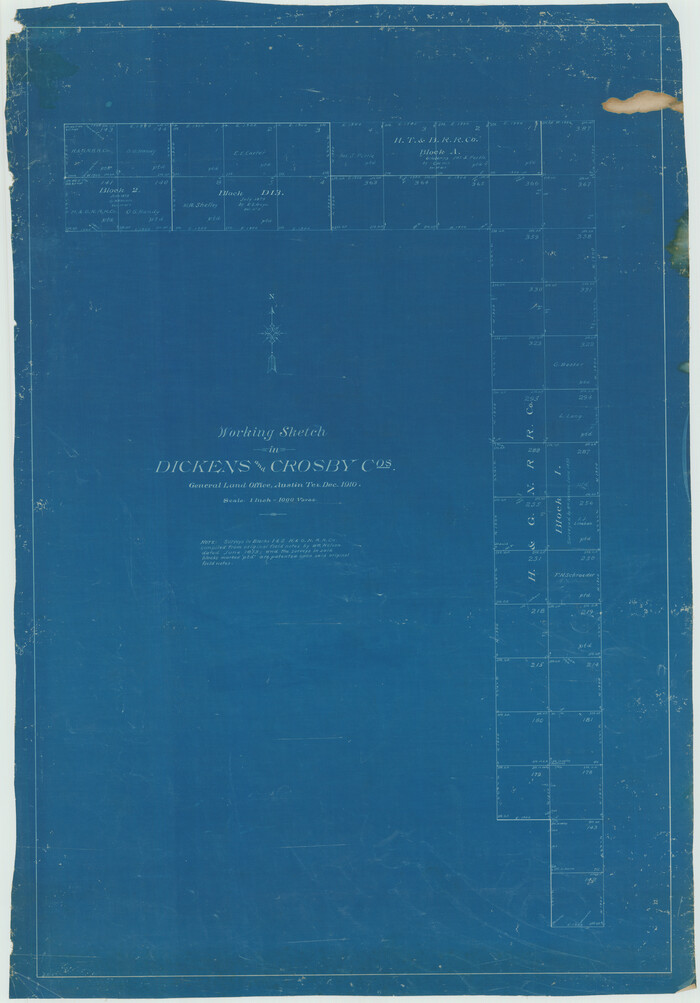

Print $20.00
- Digital $50.00
Working Sketch in Dickens and Crosby Cos.
1910
Size 35.5 x 24.8 inches
Map/Doc 75799
Shelby County Working Sketch 6
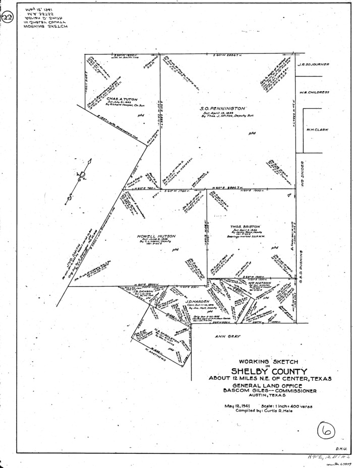

Print $20.00
- Digital $50.00
Shelby County Working Sketch 6
1941
Size 25.1 x 18.9 inches
Map/Doc 63859
[Sketch showing G. & M. Blocks 5 and M-19 and B. S. & F. Block 9]
![91718, [Sketch showing G. & M. Blocks 5 and M-19 and B. S. & F. Block 9], Twichell Survey Records](https://historictexasmaps.com/wmedia_w700/maps/91718-1.tif.jpg)
![91718, [Sketch showing G. & M. Blocks 5 and M-19 and B. S. & F. Block 9], Twichell Survey Records](https://historictexasmaps.com/wmedia_w700/maps/91718-1.tif.jpg)
Print $20.00
- Digital $50.00
[Sketch showing G. & M. Blocks 5 and M-19 and B. S. & F. Block 9]
Size 22.9 x 17.4 inches
Map/Doc 91718
Right of Way and Track Map, Houston & Texas Central R.R. operated by the T. and N. O. R.R., Fort Worth Branch


Print $40.00
- Digital $50.00
Right of Way and Track Map, Houston & Texas Central R.R. operated by the T. and N. O. R.R., Fort Worth Branch
1918
Size 31.7 x 56.8 inches
Map/Doc 64784
Texas Intracoastal Waterway - Port O'Connor to San Antonio Bay, Including Pass Cavallo
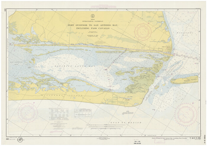

Print $20.00
- Digital $50.00
Texas Intracoastal Waterway - Port O'Connor to San Antonio Bay, Including Pass Cavallo
1957
Size 27.3 x 38.9 inches
Map/Doc 73371
Flight Mission No. DIX-7P, Frame 83, Aransas County


Print $20.00
- Digital $50.00
Flight Mission No. DIX-7P, Frame 83, Aransas County
1956
Size 18.8 x 22.5 inches
Map/Doc 83877
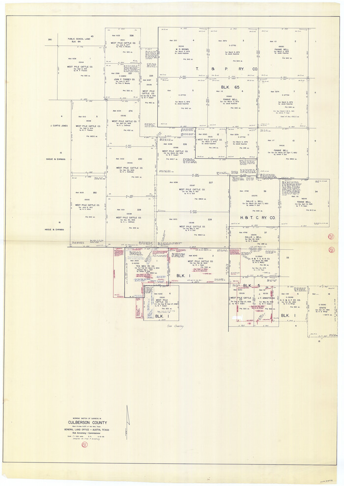
Culberson County Working Sketch 81

Print $40.00
- Digital $50.00
Culberson County Working Sketch 81
1980
Size 61.5 x 43.5 inches
Map/Doc 68535
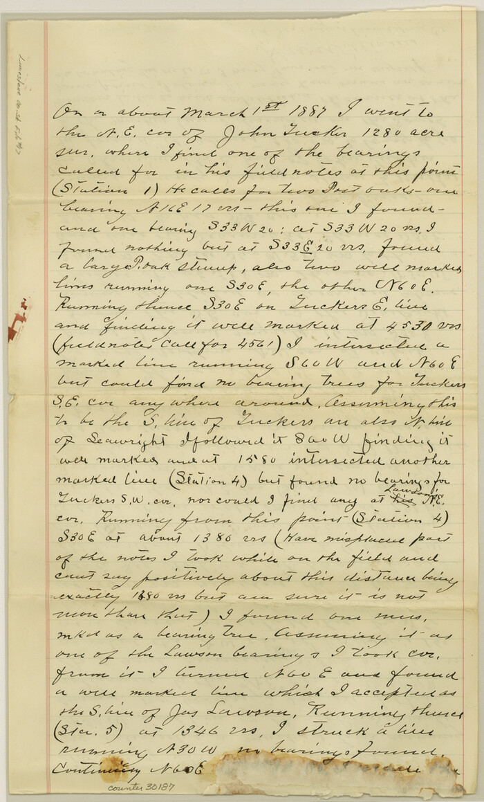
Limestone County Sketch File 17

Print $10.00
- Digital $50.00
Limestone County Sketch File 17
Size 14.4 x 8.7 inches
Map/Doc 30187
Connected Map of DeWitt's Colony compiled from the surveys of Byrd Lockhart


Print $40.00
- Digital $50.00
Connected Map of DeWitt's Colony compiled from the surveys of Byrd Lockhart
1831
Size 39.2 x 54.0 inches
Map/Doc 1942
United States - Gulf Coast - From Latitude 26° 33' to the Rio Grande Texas


Print $20.00
- Digital $50.00
United States - Gulf Coast - From Latitude 26° 33' to the Rio Grande Texas
1913
Size 27.9 x 18.2 inches
Map/Doc 72832

