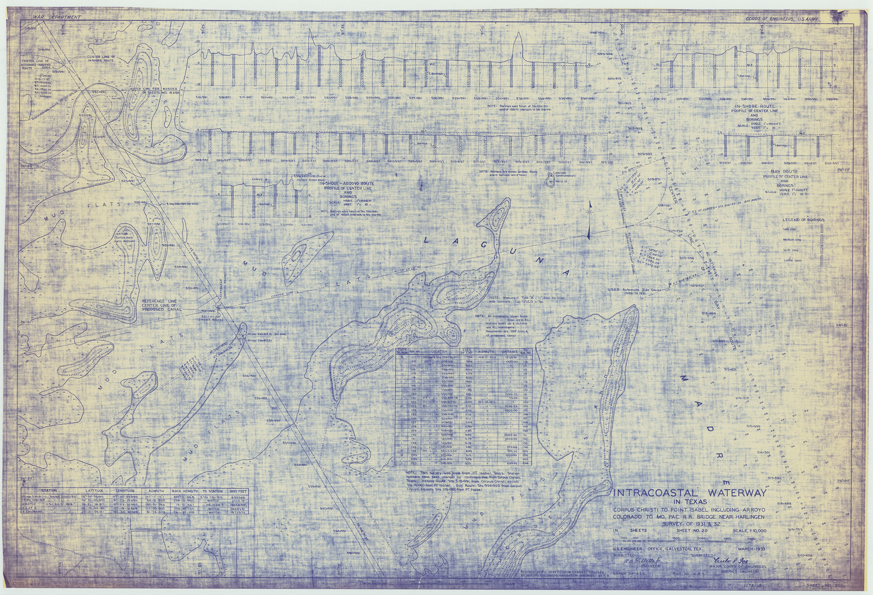
Intracoastal Waterway in Texas - Corpus Christi to Point Isabel including Arroyo Colorado to Mo. Pac. R.R. Bridge Near Harlingen
-
Map/Doc
61868
-
Collection
General Map Collection
-
Object Dates
1933 (Creation Date)
-
Subjects
Intracoastal Waterways
-
Height x Width
27.9 x 41.0 inches
70.9 x 104.1 cm
Part of: General Map Collection
Liberty County Working Sketch 43

Print $20.00
- Digital $50.00
Liberty County Working Sketch 43
1953
Size 30.6 x 43.7 inches
Map/Doc 70502
Atascosa County Rolled Sketch 5B1

Print $20.00
- Digital $50.00
Atascosa County Rolled Sketch 5B1
Size 14.6 x 11.7 inches
Map/Doc 5090
Hays County Sketch File 30

Print $12.00
- Digital $50.00
Hays County Sketch File 30
1938
Size 14.3 x 9.0 inches
Map/Doc 26255
La Salle County Sketch File 3

Print $44.00
- Digital $50.00
La Salle County Sketch File 3
1875
Size 15.8 x 29.6 inches
Map/Doc 11978
Austin Street Map & Guide

Digital $50.00
Austin Street Map & Guide
Size 35.4 x 23.1 inches
Map/Doc 94435
Tom Green County Sketch File 30

Print $12.00
Tom Green County Sketch File 30
1880
Size 11.0 x 8.2 inches
Map/Doc 38182
Louisiana and Texas Intracoastal Waterway, Section 7, Galveston Bay to Brazos River and Section 8, Brazos River to Matagorda Bay

Print $20.00
- Digital $50.00
Louisiana and Texas Intracoastal Waterway, Section 7, Galveston Bay to Brazos River and Section 8, Brazos River to Matagorda Bay
1928
Size 31.3 x 42.7 inches
Map/Doc 73063
Val Verde County Rolled Sketch 27

Print $20.00
- Digital $50.00
Val Verde County Rolled Sketch 27
Size 26.0 x 37.9 inches
Map/Doc 8109
Menard County Working Sketch 18

Print $20.00
- Digital $50.00
Menard County Working Sketch 18
1946
Size 30.6 x 31.0 inches
Map/Doc 70965

Smith County Sketch File 2

Print $4.00
- Digital $50.00
Smith County Sketch File 2
1853
Size 12.7 x 8.5 inches
Map/Doc 36748
Map of Fayette County

Print $20.00
- Digital $50.00
Map of Fayette County
1865
Size 23.2 x 28.8 inches
Map/Doc 3540
You may also like
Harris County Historic Topographic 2

Print $20.00
- Digital $50.00
Harris County Historic Topographic 2
1916
Size 29.5 x 22.7 inches
Map/Doc 65812
Jeff Davis County Sketch File 19

Print $10.00
- Digital $50.00
Jeff Davis County Sketch File 19
1908
Size 14.4 x 8.8 inches
Map/Doc 27973
Flight Mission No. BRE-1P, Frame 120, Nueces County

Print $20.00
- Digital $50.00
Flight Mission No. BRE-1P, Frame 120, Nueces County
1956
Size 18.6 x 22.8 inches
Map/Doc 86686
Panola County Sketch File 24

Print $8.00
- Digital $50.00
Panola County Sketch File 24
1939
Size 11.1 x 8.7 inches
Map/Doc 33494
Shelby County Sketch File 16

Print $6.00
- Digital $50.00
Shelby County Sketch File 16
1873
Size 8.2 x 8.6 inches
Map/Doc 36626
Anderson County Boundary File 7

Print $10.00
- Digital $50.00
Anderson County Boundary File 7
Size 14.4 x 8.9 inches
Map/Doc 49751
Old Miscellaneous File 19

Print $32.00
- Digital $50.00
Old Miscellaneous File 19
Size 14.2 x 8.8 inches
Map/Doc 75499

Howard County Working Sketch 9a

Print $20.00
- Digital $50.00
Howard County Working Sketch 9a
1962
Size 34.8 x 32.8 inches
Map/Doc 66276
Jeff Davis County Sketch File 7

Print $30.00
- Digital $50.00
Jeff Davis County Sketch File 7
1879
Size 12.8 x 8.1 inches
Map/Doc 27905
[Sketch showing part of H. & G. N. Block 1]
![89633, [Sketch showing part of H. & G. N. Block 1], Twichell Survey Records](https://historictexasmaps.com/wmedia_w700/maps/89633-1.tif.jpg)
Print $40.00
- Digital $50.00
[Sketch showing part of H. & G. N. Block 1]
Size 20.0 x 54.4 inches
Map/Doc 89633
Gregg County Sketch File 4a

Print $4.00
- Digital $50.00
Gregg County Sketch File 4a
1848
Size 12.7 x 8.1 inches
Map/Doc 24572