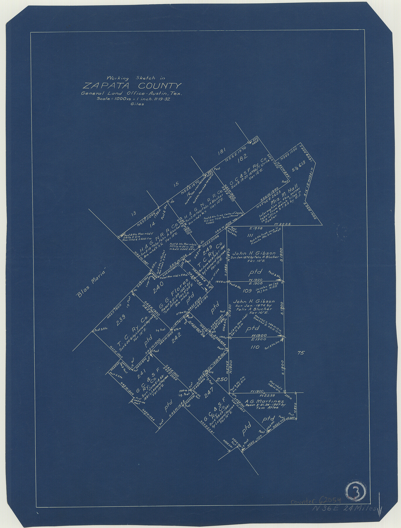
Zapata County Working Sketch 3
-
Map/Doc
62054
-
Collection
General Map Collection
-
Object Dates
11/19/1932 (Creation Date)
-
People and Organizations
J. Bascom Giles (Draftsman)
-
Counties
Zapata
-
Subjects
Surveying Working Sketch
-
Height x Width
18.0 x 13.6 inches
45.7 x 34.5 cm
-
Scale
1" = 1000 varas
Part of: General Map Collection
Bailey County Working Sketch 2

Print $20.00
- Digital $50.00
Bailey County Working Sketch 2
1920
Size 17.8 x 16.2 inches
Map/Doc 67589
Upton County Working Sketch 37

Print $20.00
- Digital $50.00
Upton County Working Sketch 37
1957
Size 41.1 x 36.9 inches
Map/Doc 69533
Old Miscellaneous File 14

Print $4.00
- Digital $50.00
Old Miscellaneous File 14
1898
Size 11.2 x 8.6 inches
Map/Doc 75449
Flight Mission No. CRC-4R, Frame 109, Chambers County

Print $20.00
- Digital $50.00
Flight Mission No. CRC-4R, Frame 109, Chambers County
1956
Size 18.5 x 22.5 inches
Map/Doc 84906
DeWitt County Boundary File 3

Print $17.00
- Digital $50.00
DeWitt County Boundary File 3
Size 12.7 x 8.3 inches
Map/Doc 52514
National Map Company's Map of Texas showing counties, cities, towns, villages and post offices, steam and electric railways with stations and distance between stations

Print $40.00
- Digital $50.00
National Map Company's Map of Texas showing counties, cities, towns, villages and post offices, steam and electric railways with stations and distance between stations
1920
Size 49.1 x 50.3 inches
Map/Doc 10750
Flight Mission No. CGI-3N, Frame 50, Cameron County

Print $20.00
- Digital $50.00
Flight Mission No. CGI-3N, Frame 50, Cameron County
1954
Size 18.6 x 22.2 inches
Map/Doc 84556
Flight Mission No. BRA-9M, Frame 64, Jefferson County

Print $20.00
- Digital $50.00
Flight Mission No. BRA-9M, Frame 64, Jefferson County
1953
Size 18.6 x 22.4 inches
Map/Doc 85647
San Patricio County Sketch File 44

Print $12.00
- Digital $50.00
San Patricio County Sketch File 44
1942
Size 11.4 x 8.9 inches
Map/Doc 36267
Jasper County Boundary File 3

Print $54.00
- Digital $50.00
Jasper County Boundary File 3
Size 9.3 x 31.0 inches
Map/Doc 55480
Newton County Sketch File 47

Print $20.00
- Digital $50.00
Newton County Sketch File 47
1932
Size 18.9 x 21.9 inches
Map/Doc 42159
Lynn County Rolled Sketch WR

Print $20.00
- Digital $50.00
Lynn County Rolled Sketch WR
Size 14.7 x 23.8 inches
Map/Doc 6656
You may also like
Brewster County Rolled Sketch 121A

Print $40.00
- Digital $50.00
Brewster County Rolled Sketch 121A
1946
Size 37.4 x 54.5 inches
Map/Doc 8518

Survey Map of Runnels County

Print $20.00
- Digital $50.00
Survey Map of Runnels County
Size 33.6 x 40.3 inches
Map/Doc 92918
Williamson County Rolled Sketch 3

Print $20.00
- Digital $50.00
Williamson County Rolled Sketch 3
1915
Size 40.1 x 30.9 inches
Map/Doc 8261
Moore County Sketch File X

Print $20.00
- Digital $50.00
Moore County Sketch File X
Size 34.3 x 24.6 inches
Map/Doc 42131
Navigation Maps of Gulf Intracoastal Waterway, Port Arthur to Brownsville, Texas

Print $4.00
- Digital $50.00
Navigation Maps of Gulf Intracoastal Waterway, Port Arthur to Brownsville, Texas
1951
Size 16.6 x 21.3 inches
Map/Doc 65431

[Blocks N and B]
![90498, [Blocks N and B], Twichell Survey Records](https://historictexasmaps.com/wmedia_w700/maps/90498-1.tif.jpg)
Print $3.00
- Digital $50.00
[Blocks N and B]
Size 10.0 x 11.4 inches
Map/Doc 90498
Live Oak County Boundary File 60b

Print $10.00
- Digital $50.00
Live Oak County Boundary File 60b
Size 12.8 x 8.3 inches
Map/Doc 56416
Fractional Township No. 7 South Range No. 15 East of the Indian Meridian, Indian Territory

Print $20.00
- Digital $50.00
Fractional Township No. 7 South Range No. 15 East of the Indian Meridian, Indian Territory
1896
Size 19.2 x 24.3 inches
Map/Doc 75226
General Highway Map, Caldwell County, Texas

Print $20.00
General Highway Map, Caldwell County, Texas
1940
Size 18.5 x 25.2 inches
Map/Doc 79034
San Jacinto County Boundary File 2

Print $5.00
- Digital $50.00
San Jacinto County Boundary File 2
Size 15.8 x 11.0 inches
Map/Doc 58561