Moore County Sketch File X
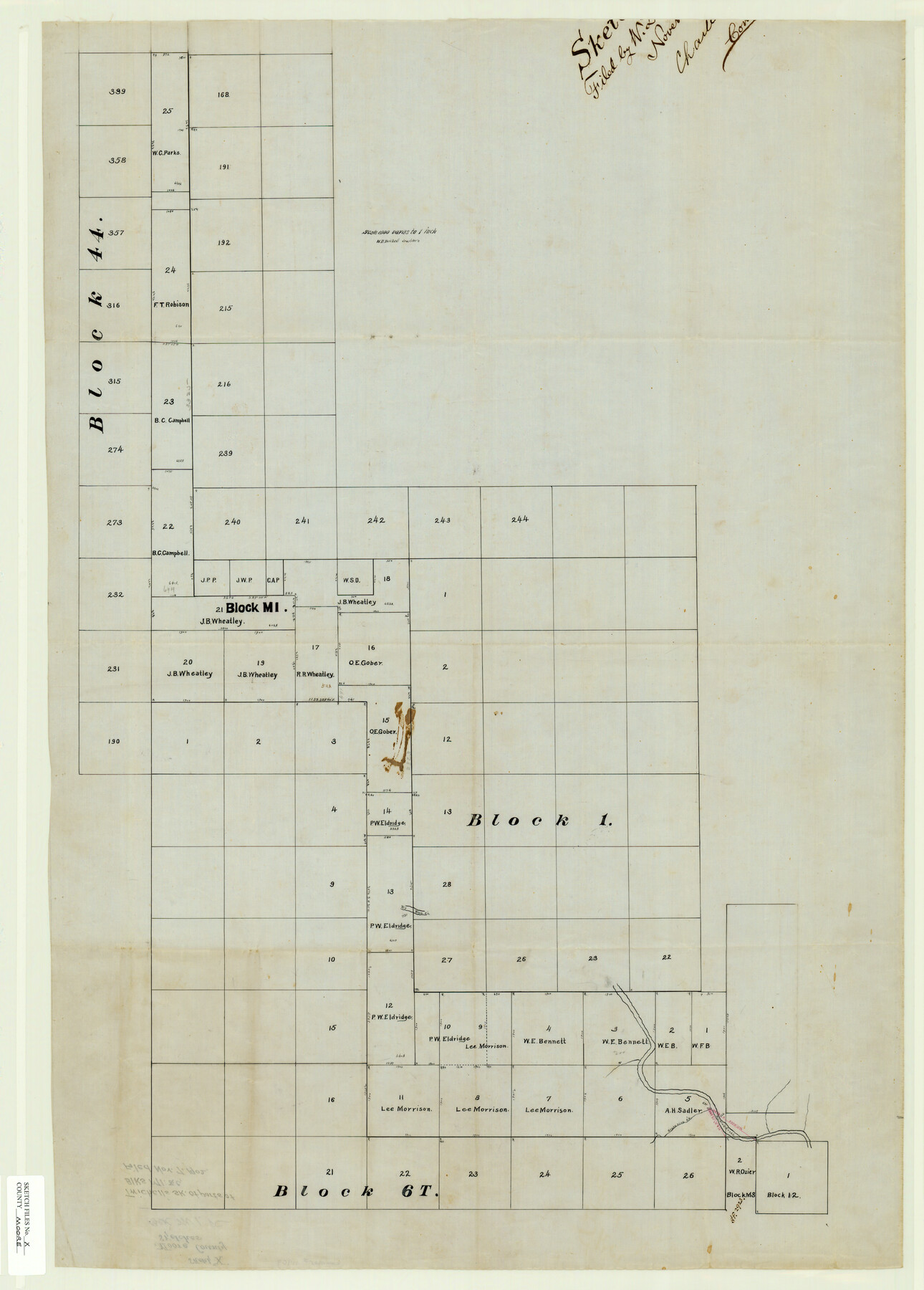
Blocks M1 & C, Moore County, Texas
-
Map/Doc
42131
-
Collection
General Map Collection
-
Object Dates
11/7/1902 (File Date)
-
People and Organizations
W.D. Twichell (Surveyor/Engineer)
-
Counties
Moore
-
Subjects
Surveying Sketch File
-
Height x Width
34.3 x 24.6 inches
87.1 x 62.5 cm
-
Medium
paper, manuscript
-
Scale
1" = 1000 varas
-
Features
Big Blue Creek
Grapevine Creek
Part of: General Map Collection
Coryelle County

Print $20.00
- Digital $50.00
Coryelle County
1855
Size 18.6 x 23.1 inches
Map/Doc 51904
County and Railroad Map of Texas

Print $20.00
- Digital $50.00
County and Railroad Map of Texas
1876
Size 17.0 x 16.0 inches
Map/Doc 93624
Irion County Boundary File 2

Print $60.00
- Digital $50.00
Irion County Boundary File 2
Size 14.3 x 8.9 inches
Map/Doc 55327
Red River County Sketch File 16

Print $4.00
- Digital $50.00
Red River County Sketch File 16
1866
Size 8.7 x 7.8 inches
Map/Doc 35139
Flight Mission No. BQY-4M, Frame 39, Harris County

Print $20.00
- Digital $50.00
Flight Mission No. BQY-4M, Frame 39, Harris County
1953
Size 18.6 x 22.3 inches
Map/Doc 85254
Eastland County Working Sketch 46

Print $20.00
- Digital $50.00
Eastland County Working Sketch 46
1980
Size 33.4 x 36.6 inches
Map/Doc 68827
Nautical Chart 11332 - Intracoastal Waterway - Galveston Bay to Cedar Lakes

Print $40.00
- Digital $50.00
Nautical Chart 11332 - Intracoastal Waterway - Galveston Bay to Cedar Lakes
1984
Size 22.3 x 60.3 inches
Map/Doc 69940
Reagan County Sketch File 2B

Print $20.00
- Digital $50.00
Reagan County Sketch File 2B
Size 20.4 x 22.2 inches
Map/Doc 12212
Polk County Sketch File 26

Print $12.00
- Digital $50.00
Polk County Sketch File 26
1889
Size 8.5 x 7.1 inches
Map/Doc 34183
Jeff Davis County Working Sketch 39

Print $40.00
- Digital $50.00
Jeff Davis County Working Sketch 39
1981
Size 52.1 x 38.0 inches
Map/Doc 66534
Leon County Rolled Sketch 33

Print $20.00
- Digital $50.00
Leon County Rolled Sketch 33
1997
Size 26.3 x 36.7 inches
Map/Doc 6617
Atlas E, Sketch 29 (E-29)

Print $20.00
- Digital $50.00
Atlas E, Sketch 29 (E-29)
Size 22.4 x 33.2 inches
Map/Doc 78363
You may also like
Palo Pinto County Sketch File 26

Print $8.00
- Digital $50.00
Palo Pinto County Sketch File 26
1993
Size 14.0 x 8.6 inches
Map/Doc 33441
Cherokee County Rolled Sketch 3

Print $40.00
- Digital $50.00
Cherokee County Rolled Sketch 3
1955
Size 55.5 x 35.2 inches
Map/Doc 8597
Jefferson County Rolled Sketch 57

Print $20.00
- Digital $50.00
Jefferson County Rolled Sketch 57
1883
Size 25.9 x 18.6 inches
Map/Doc 6407
[John Welch, W. F. Butter, and surrounding surveys]
![91011, [John Welch, W. F. Butter, and surrounding surveys], Twichell Survey Records](https://historictexasmaps.com/wmedia_w700/maps/91011-1.tif.jpg)
Print $3.00
- Digital $50.00
[John Welch, W. F. Butter, and surrounding surveys]
Size 17.1 x 10.9 inches
Map/Doc 91011
Polk County Rolled Sketch 32

Print $20.00
- Digital $50.00
Polk County Rolled Sketch 32
Size 21.6 x 15.8 inches
Map/Doc 7318
Webb County Rolled Sketch EF3

Print $20.00
- Digital $50.00
Webb County Rolled Sketch EF3
Size 24.1 x 27.0 inches
Map/Doc 8225
[Area around John Walker survey]
![90817, [Area around John Walker survey], Twichell Survey Records](https://historictexasmaps.com/wmedia_w700/maps/90817-2.tif.jpg)
Print $20.00
- Digital $50.00
[Area around John Walker survey]
Size 46.7 x 27.0 inches
Map/Doc 90817

Map of the Public Land States and Territories constructed from the Public Surveys and other official sources in the General Land Office

Print $20.00
- Digital $50.00
Map of the Public Land States and Territories constructed from the Public Surveys and other official sources in the General Land Office
1864
Size 31.0 x 46.6 inches
Map/Doc 94152
Bandera County Working Sketch 9

Print $20.00
- Digital $50.00
Bandera County Working Sketch 9
1920
Size 15.2 x 17.1 inches
Map/Doc 67602
Fort Worth, Tex. "The Queen of the Prairies," County Seat of Tarrant County

Print $20.00
Fort Worth, Tex. "The Queen of the Prairies," County Seat of Tarrant County
1886
Size 26.0 x 33.3 inches
Map/Doc 89082
La Salle County Working Sketch 34

Print $20.00
- Digital $50.00
La Salle County Working Sketch 34
1956
Size 18.8 x 26.2 inches
Map/Doc 70335