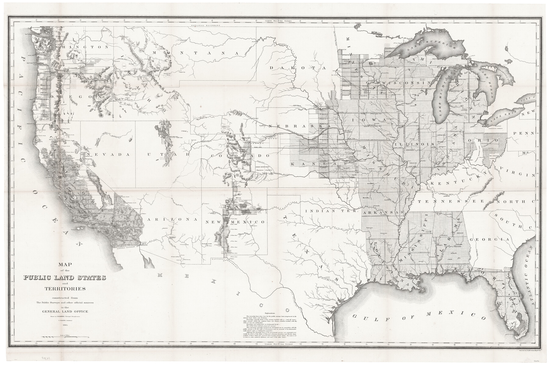
Map of the Public Land States and Territories constructed from the Public Surveys and other official sources in the General Land Office
-
Map/Doc
94152
-
Collection
General Map Collection
-
Object Dates
1864 (Creation Date)
-
People and Organizations
J.H. Hawes (Draftsman)
T. Franks (Draftsman)
D. McClelland (Engraver)
-
Subjects
United States
-
Height x Width
31.0 x 46.6 inches
78.7 x 118.4 cm
-
Medium
paper, etching/engraving/lithograph
Part of: General Map Collection
Pecos County Working Sketch 115

Print $40.00
- Digital $50.00
Pecos County Working Sketch 115
1973
Size 54.6 x 31.8 inches
Map/Doc 71588
Flight Mission No. DQO-6K, Frame 21, Galveston County

Print $20.00
- Digital $50.00
Flight Mission No. DQO-6K, Frame 21, Galveston County
1952
Size 18.7 x 22.3 inches
Map/Doc 85094
Wichita County Sketch File 31

Print $20.00
- Digital $50.00
Wichita County Sketch File 31
1938
Size 27.6 x 39.4 inches
Map/Doc 10433
Freestone County Working Sketch 14

Print $20.00
- Digital $50.00
Freestone County Working Sketch 14
1980
Size 37.4 x 38.9 inches
Map/Doc 69256
Flight Mission No. BRA-8M, Frame 147, Jefferson County

Print $20.00
- Digital $50.00
Flight Mission No. BRA-8M, Frame 147, Jefferson County
1953
Size 16.0 x 15.9 inches
Map/Doc 85639
Hudspeth County Sketch File 54

Print $4.00
- Digital $50.00
Hudspeth County Sketch File 54
1993
Size 8.9 x 14.2 inches
Map/Doc 27079
Red River County Rolled Sketch 9

Print $20.00
- Digital $50.00
Red River County Rolled Sketch 9
Size 27.1 x 18.1 inches
Map/Doc 7475
Sutton County Boundary File 5

Print $28.00
- Digital $50.00
Sutton County Boundary File 5
Size 14.2 x 8.7 inches
Map/Doc 59046
Cameron County Rolled Sketch US2

Print $168.00
- Digital $50.00
Cameron County Rolled Sketch US2
1913
Size 10.4 x 16.3 inches
Map/Doc 43804
Flight Mission No. BRA-9M, Frame 69, Jefferson County

Print $20.00
- Digital $50.00
Flight Mission No. BRA-9M, Frame 69, Jefferson County
1953
Size 18.5 x 22.3 inches
Map/Doc 85652
Briscoe County Rolled Sketch 6

Print $20.00
- Digital $50.00
Briscoe County Rolled Sketch 6
Size 27.0 x 31.4 inches
Map/Doc 5326
Brazoria County Boundary File 12 1/2

Print $10.00
- Digital $50.00
Brazoria County Boundary File 12 1/2
Size 9.0 x 7.3 inches
Map/Doc 50733
You may also like
Hudspeth County Working Sketch 35

Print $40.00
- Digital $50.00
Hudspeth County Working Sketch 35
Size 37.0 x 55.2 inches
Map/Doc 66320
Harris County Working Sketch 109

Print $20.00
- Digital $50.00
Harris County Working Sketch 109
1981
Size 21.4 x 27.2 inches
Map/Doc 66001
Webb County Rolled Sketch 78

Print $20.00
- Digital $50.00
Webb County Rolled Sketch 78
2011
Size 33.1 x 24.6 inches
Map/Doc 90052
Real County Working Sketch 69

Print $20.00
- Digital $50.00
Real County Working Sketch 69
1942
Size 42.4 x 35.4 inches
Map/Doc 71961
Colorado River, Glen Flora Sheet

Print $6.00
- Digital $50.00
Colorado River, Glen Flora Sheet
1941
Size 24.5 x 32.6 inches
Map/Doc 65310
[Gulf, Colorado & Santa Fe]
![64573, [Gulf, Colorado & Santa Fe], General Map Collection](https://historictexasmaps.com/wmedia_w700/maps/64573-1.tif.jpg)
Print $40.00
- Digital $50.00
[Gulf, Colorado & Santa Fe]
Size 32.5 x 122.6 inches
Map/Doc 64573

Randall County Rolled Sketch 3

Print $20.00
- Digital $50.00
Randall County Rolled Sketch 3
Size 22.0 x 24.9 inches
Map/Doc 7423
Map of Espiritu Santo Bay in Calhoun County showing subdivision therof for mineral development

Print $20.00
- Digital $50.00
Map of Espiritu Santo Bay in Calhoun County showing subdivision therof for mineral development
1938
Size 38.6 x 42.9 inches
Map/Doc 2499
[Blocks S and H1]
![91436, [Blocks S and H1], Twichell Survey Records](https://historictexasmaps.com/wmedia_w700/maps/91436-1.tif.jpg)
Print $20.00
- Digital $50.00
[Blocks S and H1]
Size 23.0 x 10.2 inches
Map/Doc 91436
Panola County Sketch File 26

Print $20.00
- Digital $50.00
Panola County Sketch File 26
1944
Size 28.5 x 27.1 inches
Map/Doc 12141
Township and Railroad Map of New Hampshire compiled from the best authorities with corrections and alteration of town lines from actual surveys

Print $20.00
- Digital $50.00
Township and Railroad Map of New Hampshire compiled from the best authorities with corrections and alteration of town lines from actual surveys
1854
Size 34.8 x 24.4 inches
Map/Doc 97105