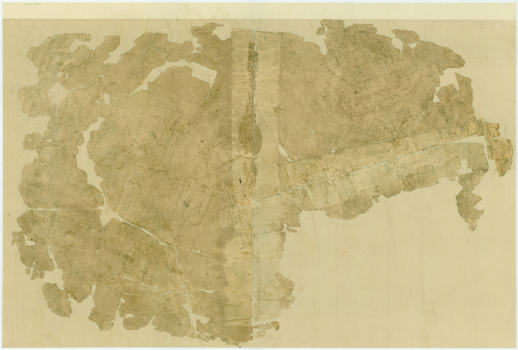
Atlas E, Sketch 29 (E-29)
E-29
-
Map/Doc
78363
-
Collection
General Map Collection
-
Subjects
Atlas
-
Height x Width
22.4 x 33.2 inches
56.9 x 84.3 cm
-
Medium
paper, manuscript
-
Comments
Conserved in 2003.
-
Features
Sandy Creek
San Gabriel River
Brushy Creek
Clay Creek
Part of: General Map Collection
Uvalde County Working Sketch 13

Print $20.00
- Digital $50.00
Uvalde County Working Sketch 13
1943
Size 27.9 x 21.6 inches
Map/Doc 72083
Orange County Working Sketch 34

Print $20.00
- Digital $50.00
Orange County Working Sketch 34
1958
Size 34.8 x 26.7 inches
Map/Doc 71366
Map of Stephens Buchanan County north of the Clearfork of the Brazos River, Young- the balance Milam- Land- District

Print $20.00
- Digital $50.00
Map of Stephens Buchanan County north of the Clearfork of the Brazos River, Young- the balance Milam- Land- District
1859
Size 24.4 x 19.6 inches
Map/Doc 4052
Moore County Sketch File 12

Print $20.00
- Digital $50.00
Moore County Sketch File 12
1939
Size 27.3 x 19.9 inches
Map/Doc 42130

Waller County Sketch File 5

Print $6.00
- Digital $50.00
Waller County Sketch File 5
Size 10.7 x 14.1 inches
Map/Doc 39600
Dimmit County Sketch File 45

Print $20.00
- Digital $50.00
Dimmit County Sketch File 45
1905
Size 24.9 x 25.5 inches
Map/Doc 11355
Flight Mission No. DAG-24K, Frame 155, Matagorda County

Print $20.00
- Digital $50.00
Flight Mission No. DAG-24K, Frame 155, Matagorda County
1953
Size 15.9 x 15.8 inches
Map/Doc 86569
Cameron County Working Sketch 3

Print $20.00
- Digital $50.00
Cameron County Working Sketch 3
1964
Size 40.8 x 38.6 inches
Map/Doc 67882
Hutchinson County Rolled Sketch 31

Print $75.00
- Digital $50.00
Hutchinson County Rolled Sketch 31
1908
Size 19.3 x 15.8 inches
Map/Doc 6292
Val Verde County Rolled Sketch 71

Print $20.00
- Digital $50.00
Val Verde County Rolled Sketch 71
1958
Size 19.5 x 19.5 inches
Map/Doc 8133
Jim Wells County Working Sketch 7

Print $20.00
- Digital $50.00
Jim Wells County Working Sketch 7
1944
Size 26.2 x 29.3 inches
Map/Doc 66605
You may also like
Anderson County Sketch File 16b

Print $2.00
- Digital $50.00
Anderson County Sketch File 16b
1859
Size 7.2 x 2.9 inches
Map/Doc 12788
Val Verde County Working Sketch 108

Print $20.00
- Digital $50.00
Val Verde County Working Sketch 108
1988
Size 31.1 x 41.3 inches
Map/Doc 72243
Terrell County Working Sketch 84d

Print $20.00
- Digital $50.00
Terrell County Working Sketch 84d
1992
Size 18.4 x 31.5 inches
Map/Doc 69608
Flight Mission No. DCL-7C, Frame 133, Kenedy County

Print $20.00
- Digital $50.00
Flight Mission No. DCL-7C, Frame 133, Kenedy County
1943
Size 15.4 x 15.2 inches
Map/Doc 86090
Sabine County

Print $20.00
- Digital $50.00
Sabine County
1920
Size 44.6 x 35.1 inches
Map/Doc 16805
Hansford County

Print $20.00
- Digital $50.00
Hansford County
1878
Size 19.5 x 17.0 inches
Map/Doc 3623
Pecos County Sketch File 76

Print $4.00
- Digital $50.00
Pecos County Sketch File 76
1943
Size 11.2 x 8.8 inches
Map/Doc 33907
Medina County Working Sketch 1

Print $20.00
- Digital $50.00
Medina County Working Sketch 1
1915
Size 14.2 x 14.2 inches
Map/Doc 70916
Terrell County Rolled Sketch JAS

Print $40.00
- Digital $50.00
Terrell County Rolled Sketch JAS
1936
Size 48.5 x 40.0 inches
Map/Doc 9988
Bosque County Sketch File 16

Print $14.00
- Digital $50.00
Bosque County Sketch File 16
Size 13.0 x 7.9 inches
Map/Doc 14781
Liberty County Working Sketch 38

Print $20.00
- Digital $50.00
Liberty County Working Sketch 38
1951
Size 28.0 x 36.4 inches
Map/Doc 70497
Erath County Sketch File A

Print $4.00
- Digital $50.00
Erath County Sketch File A
Size 8.6 x 11.0 inches
Map/Doc 22249