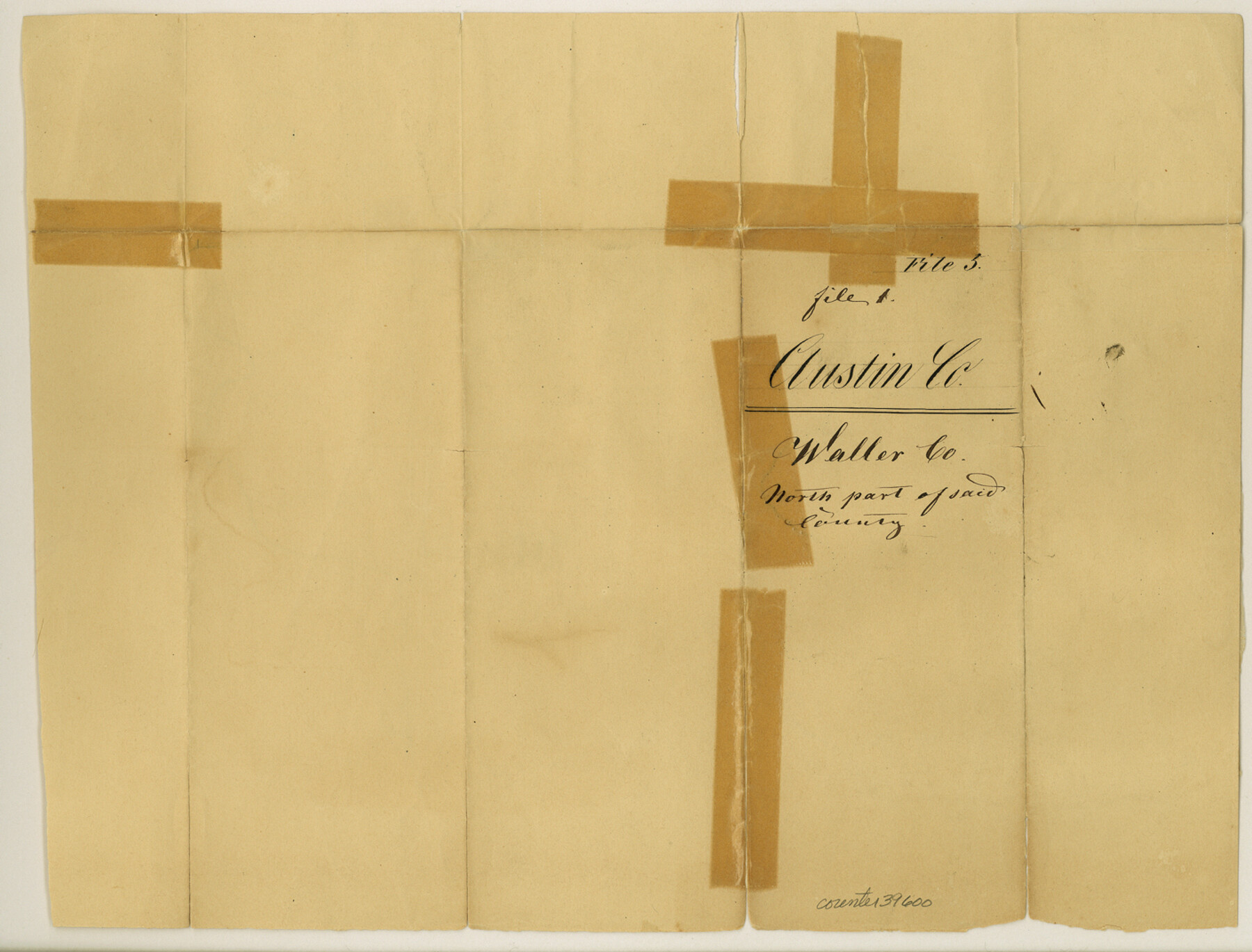
Waller County Sketch File 5
[Sketch of surveys around the Peter Harper survey north of Hempstead]
-
Map/Doc
39600
-
Collection
General Map Collection
-
Counties
Waller
-
Subjects
Surveying Sketch File
-
Height x Width
10.7 x 14.1 inches
27.2 x 35.8 cm
-
Medium
paper, manuscript
-
Features
Brazos River
Caney Creek
Part of: General Map Collection
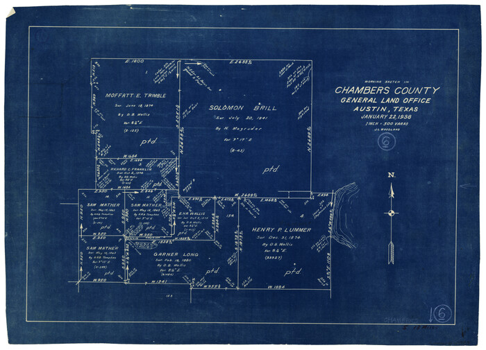
Chambers County Working Sketch 6

Print $20.00
- Digital $50.00
Chambers County Working Sketch 6
1938
Size 14.3 x 19.7 inches
Map/Doc 67989
Angelina County Sketch File 18c


Print $4.00
- Digital $50.00
Angelina County Sketch File 18c
Size 12.8 x 8.3 inches
Map/Doc 13034
No. 1 - Survey for a road from the Brazo Santiago to the Rio Grande


Print $20.00
- Digital $50.00
No. 1 - Survey for a road from the Brazo Santiago to the Rio Grande
1847
Size 18.4 x 27.3 inches
Map/Doc 72875
San Augustine County Sketch File 1


Print $4.00
San Augustine County Sketch File 1
1849
Size 9.3 x 8.2 inches
Map/Doc 35631
Briscoe County Boundary File 6


Print $4.00
- Digital $50.00
Briscoe County Boundary File 6
Size 10.6 x 8.1 inches
Map/Doc 50804
Wise County Working Sketch 24

Print $40.00
- Digital $50.00
Wise County Working Sketch 24
1983
Size 37.1 x 58.2 inches
Map/Doc 72638
Donley County Working Sketch 7


Print $20.00
- Digital $50.00
Donley County Working Sketch 7
1971
Size 23.7 x 26.1 inches
Map/Doc 68740
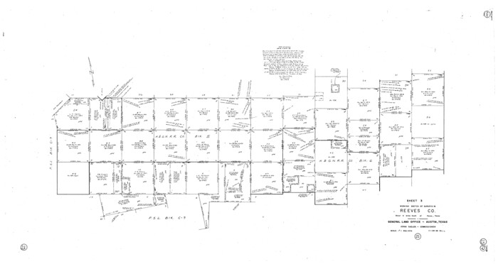
Reeves County Working Sketch 25

Print $40.00
- Digital $50.00
Reeves County Working Sketch 25
1966
Size 31.4 x 59.0 inches
Map/Doc 63468
Brooks County Sketch File 6


Print $12.00
- Digital $50.00
Brooks County Sketch File 6
1941
Size 13.2 x 8.3 inches
Map/Doc 16560
Falls County Sketch File 25


Print $7.00
- Digital $50.00
Falls County Sketch File 25
1968
Size 10.4 x 8.2 inches
Map/Doc 22430
Crockett County Working Sketch 17


Print $20.00
- Digital $50.00
Crockett County Working Sketch 17
1918
Size 17.9 x 24.6 inches
Map/Doc 68350
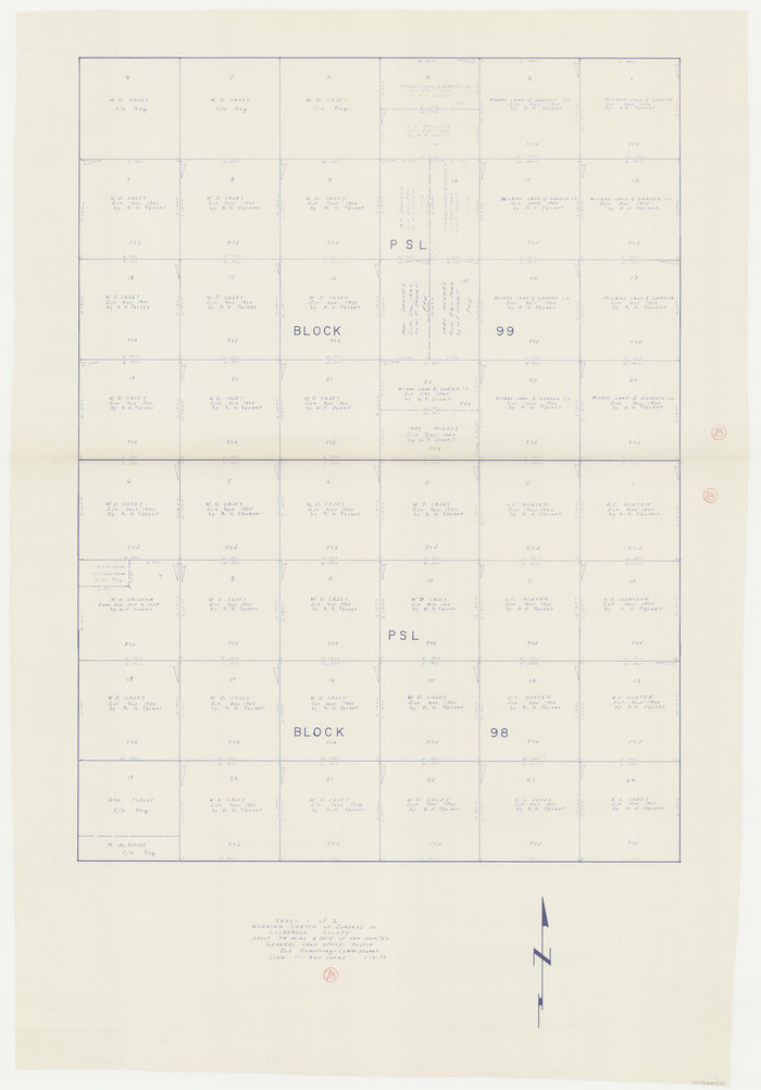
Culberson County Working Sketch 78

Print $40.00
- Digital $50.00
Culberson County Working Sketch 78
1976
Size 51.8 x 36.2 inches
Map/Doc 68532
You may also like
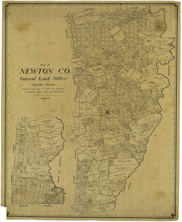
Map of Newton Co.

Print $20.00
- Digital $50.00
Map of Newton Co.
1905
Size 47.5 x 38.9 inches
Map/Doc 5020
Grayson County Sketch File 10


Print $4.00
- Digital $50.00
Grayson County Sketch File 10
1851
Size 12.1 x 7.9 inches
Map/Doc 24474
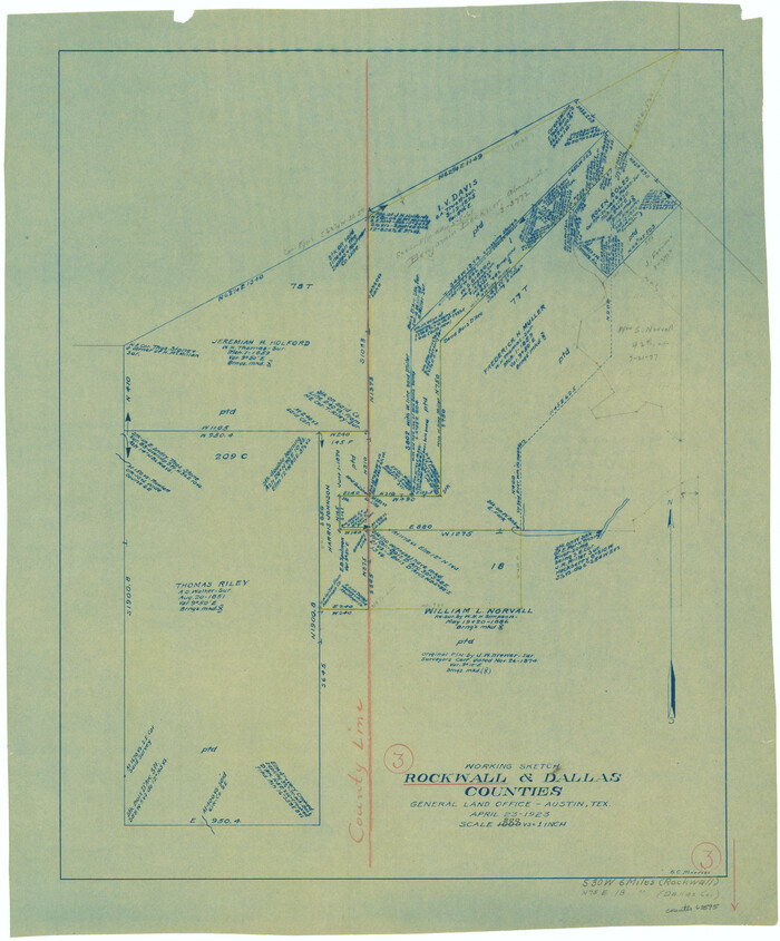
Rockwall County Working Sketch 3

Print $20.00
- Digital $50.00
Rockwall County Working Sketch 3
1923
Size 22.6 x 18.7 inches
Map/Doc 63595
Sterling County Rolled Sketch 36
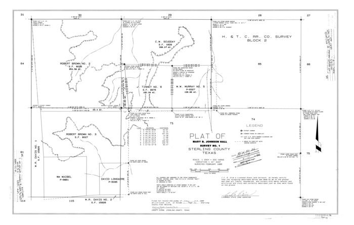

Print $20.00
- Digital $50.00
Sterling County Rolled Sketch 36
Size 24.2 x 38.0 inches
Map/Doc 7860
Matagorda County Boundary File 101


Print $10.00
- Digital $50.00
Matagorda County Boundary File 101
Size 8.9 x 7.4 inches
Map/Doc 56896
General Highway Map, Milam County, Texas
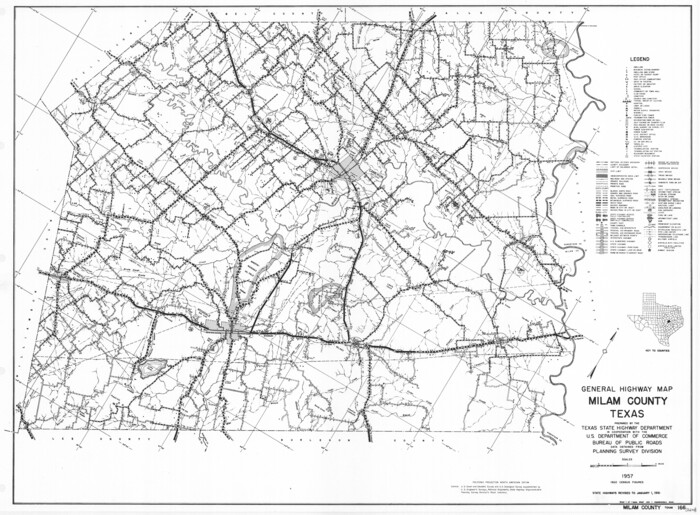

Print $20.00
General Highway Map, Milam County, Texas
1961
Size 18.1 x 24.6 inches
Map/Doc 79597
Pecos County Sketch File 56

Print $20.00
- Digital $50.00
Pecos County Sketch File 56
Size 35.6 x 28.6 inches
Map/Doc 10571
Gonzales County Sketch File 4a
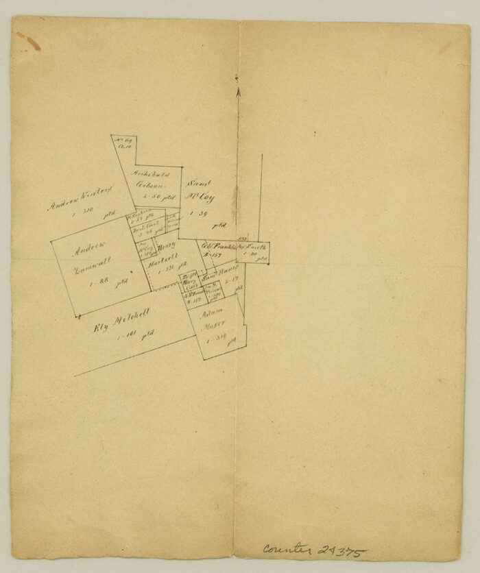

Print $4.00
- Digital $50.00
Gonzales County Sketch File 4a
1861
Size 8.0 x 6.7 inches
Map/Doc 24375
Bowie County Sketch File 7e
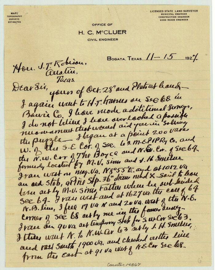

Print $10.00
- Digital $50.00
Bowie County Sketch File 7e
1927
Size 10.5 x 8.4 inches
Map/Doc 14867
Throckmorton County Boundary File 2

Print $34.00
- Digital $50.00
Throckmorton County Boundary File 2
Size 8.3 x 5.7 inches
Map/Doc 59264
Tyler County Sketch File 14
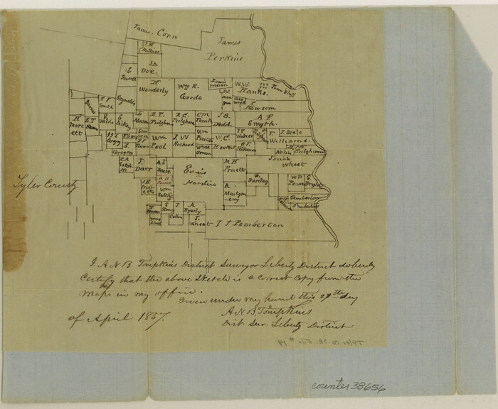

Print $4.00
- Digital $50.00
Tyler County Sketch File 14
1857
Size 8.3 x 10.1 inches
Map/Doc 38656
