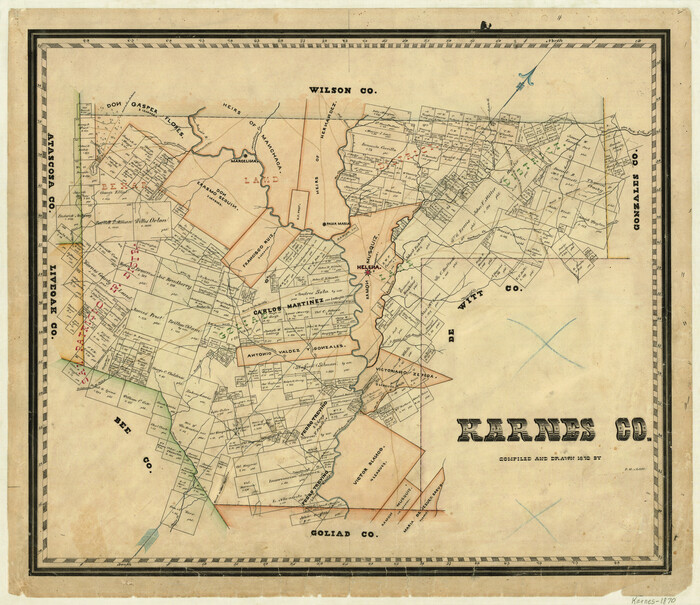
[Ferguson State Farm]
RG-1-8c
-
Map/Doc
62991
-
Collection
General Map Collection
-
People and Organizations
A.M. Vance (Author)
-
Counties
Madison
-
Height x Width
17.2 x 16.1 inches
43.7 x 40.9 cm
Part of: General Map Collection
Map of the Cotton Belt Route, St. Louis Southwestern Railway Co., St. Louis Southwestern Railway Co. of Texas, Tyler Southeastern Railway Co. and connections


Print $20.00
- Digital $50.00
Map of the Cotton Belt Route, St. Louis Southwestern Railway Co., St. Louis Southwestern Railway Co. of Texas, Tyler Southeastern Railway Co. and connections
1898
Size 15.3 x 35.7 inches
Map/Doc 93954
Sterling County Rolled Sketch 38


Print $20.00
- Digital $50.00
Sterling County Rolled Sketch 38
1988
Size 25.0 x 31.7 inches
Map/Doc 7863
Knox County Rolled Sketch 10A
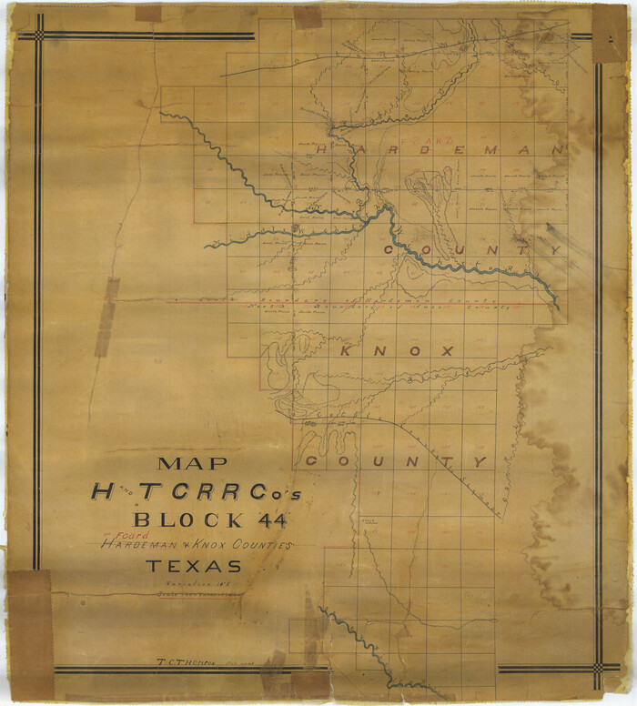

Print $20.00
- Digital $50.00
Knox County Rolled Sketch 10A
Size 40.8 x 36.8 inches
Map/Doc 61734
Kinney County Sketch File E1
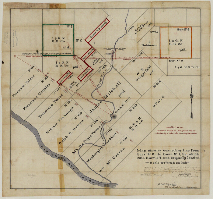

Print $20.00
- Digital $50.00
Kinney County Sketch File E1
1885
Size 29.8 x 31.9 inches
Map/Doc 10619
Colorado River, Bonus Sheet
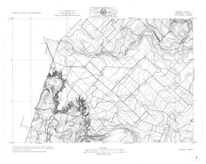

Print $6.00
- Digital $50.00
Colorado River, Bonus Sheet
1941
Size 24.2 x 30.4 inches
Map/Doc 65307
Sabine Pass, Texas


Print $40.00
- Digital $50.00
Sabine Pass, Texas
1874
Size 32.2 x 53.2 inches
Map/Doc 69837
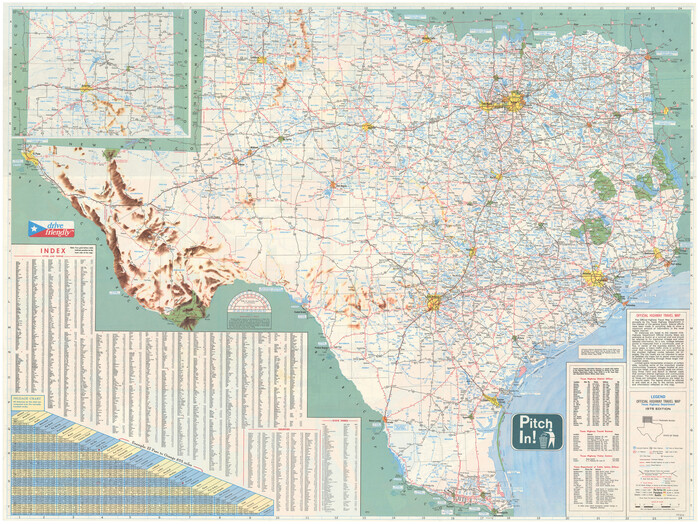
Texas Official Highway Travel Map

Digital $50.00
Texas Official Highway Travel Map
1975
Size 27.2 x 36.2 inches
Map/Doc 94312
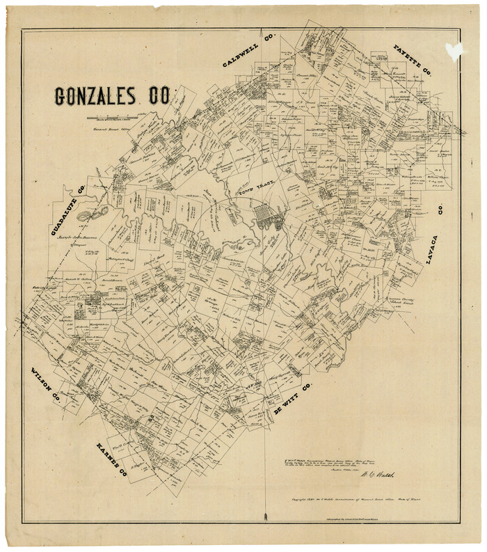
Gonzales County

Print $20.00
- Digital $50.00
Gonzales County
1880
Size 26.3 x 24.0 inches
Map/Doc 4550
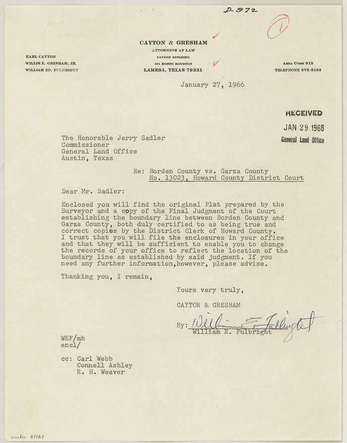
Borden County Boundary File 7

Print $29.00
- Digital $50.00
Borden County Boundary File 7
1965
Size 11.2 x 8.8 inches
Map/Doc 61161
Upton County Working Sketch 43


Print $40.00
- Digital $50.00
Upton County Working Sketch 43
1962
Size 56.8 x 42.7 inches
Map/Doc 69539
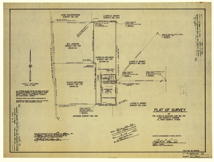
El Paso County Rolled Sketch 58

Print $20.00
- Digital $50.00
El Paso County Rolled Sketch 58
1987
Size 18.6 x 24.6 inches
Map/Doc 5851
You may also like
Hood County Rolled Sketch 1
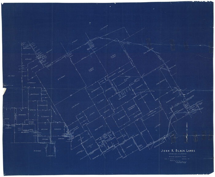

Print $20.00
- Digital $50.00
Hood County Rolled Sketch 1
1946
Size 31.9 x 38.6 inches
Map/Doc 9177
Armstrong County Rolled Sketch B


Print $20.00
- Digital $50.00
Armstrong County Rolled Sketch B
1903
Size 25.9 x 37.0 inches
Map/Doc 5084
Presidio County Working Sketch 150
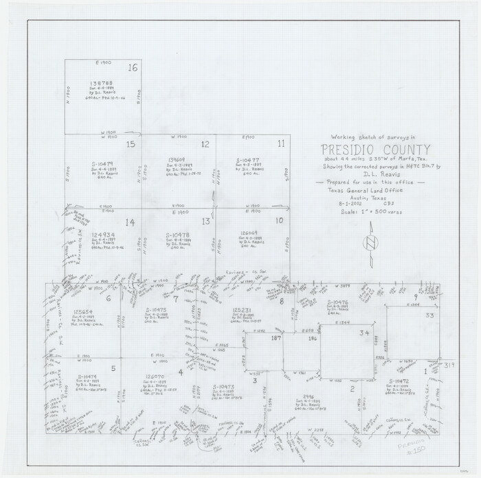

Print $20.00
- Digital $50.00
Presidio County Working Sketch 150
2002
Size 24.0 x 23.5 inches
Map/Doc 93490
Map of Concho County, Texas


Print $20.00
- Digital $50.00
Map of Concho County, Texas
1879
Size 28.8 x 23.9 inches
Map/Doc 703
Terrell County Rolled Sketch 26
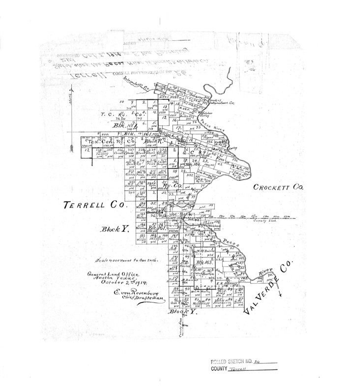

Print $20.00
- Digital $50.00
Terrell County Rolled Sketch 26
1914
Size 17.3 x 15.2 inches
Map/Doc 7933
Castro County Working Sketch 6
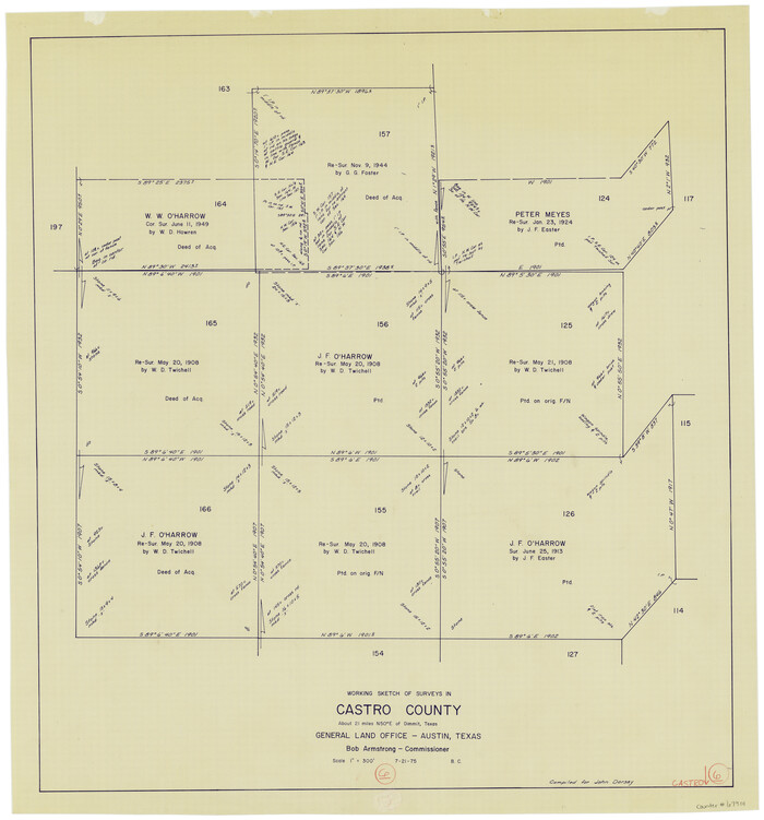

Print $20.00
- Digital $50.00
Castro County Working Sketch 6
1975
Size 28.4 x 26.4 inches
Map/Doc 67901
Johnson County Sketch File 22


Print $20.00
- Digital $50.00
Johnson County Sketch File 22
1873
Size 18.8 x 16.2 inches
Map/Doc 11891
Nueces County Sketch File 28


Print $6.00
- Digital $50.00
Nueces County Sketch File 28
Size 10.0 x 10.9 inches
Map/Doc 32596
Sutton County Rolled Sketch 54


Print $20.00
- Digital $50.00
Sutton County Rolled Sketch 54
Size 32.4 x 27.7 inches
Map/Doc 7894
Jones County Working Sketch 10


Print $20.00
- Digital $50.00
Jones County Working Sketch 10
1982
Size 19.3 x 34.3 inches
Map/Doc 66648
Southern Part of Laguna Madre
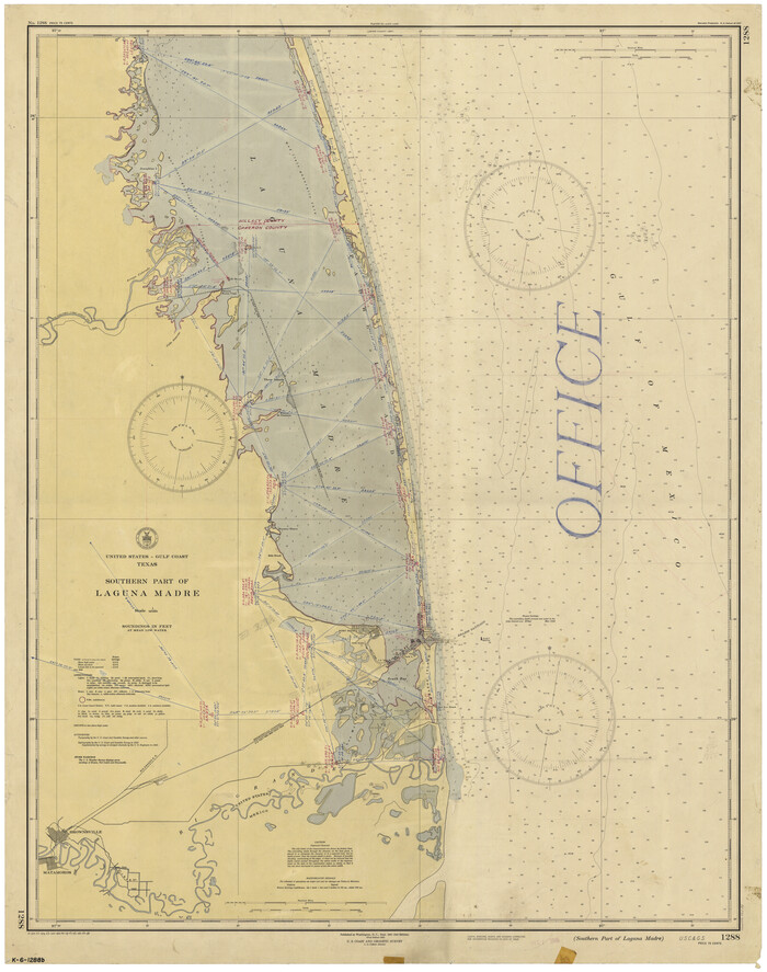

Print $20.00
- Digital $50.00
Southern Part of Laguna Madre
1946
Size 43.8 x 34.5 inches
Map/Doc 73534
Orange County Rolled Sketch 31
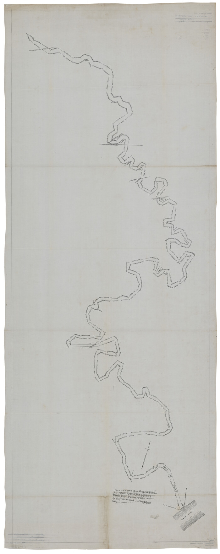

Print $40.00
- Digital $50.00
Orange County Rolled Sketch 31
1926
Size 88.7 x 35.2 inches
Map/Doc 9651
![62991, [Ferguson State Farm], General Map Collection](https://historictexasmaps.com/wmedia_w1800h1800/maps/62991.tif.jpg)
