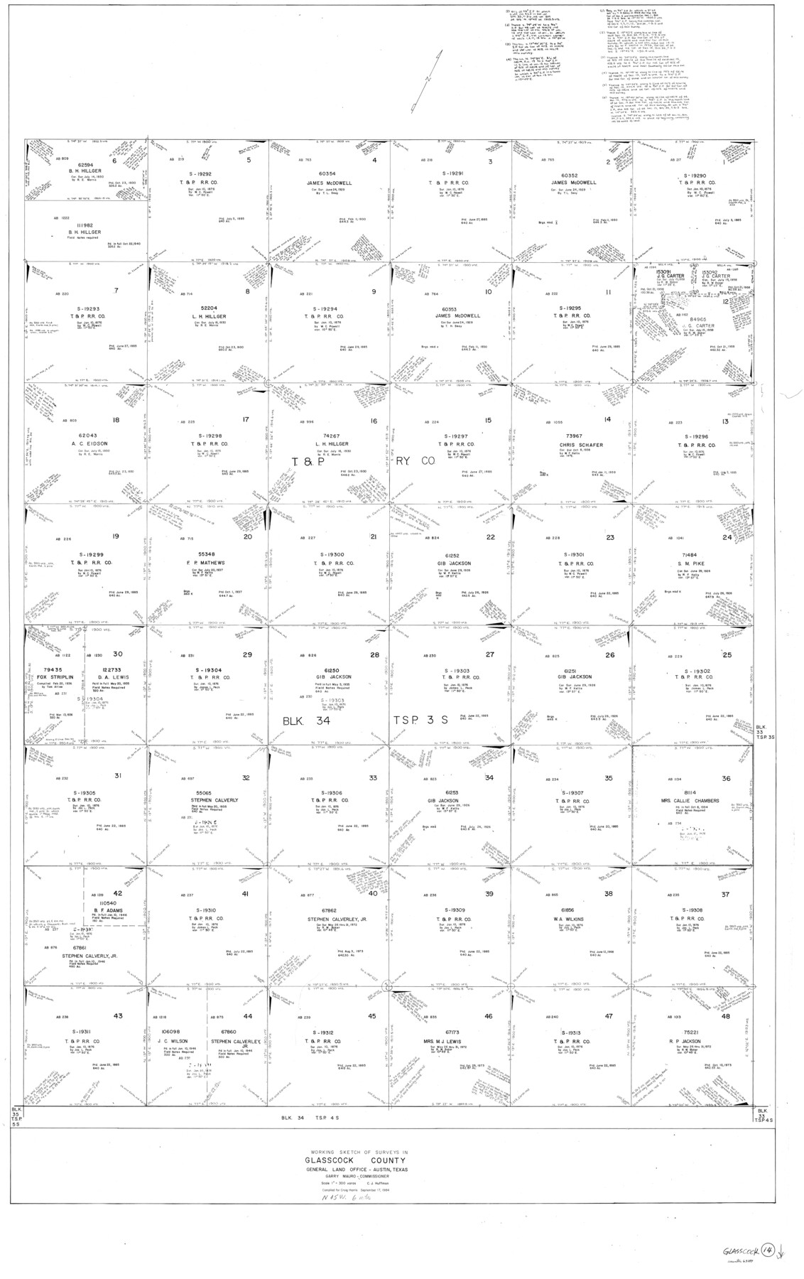
Glasscock County Working Sketch 14
-
Map/Doc
63187
-
Collection
General Map Collection
-
Object Dates
9/17/1984 (Creation Date)
-
People and Organizations
Huffman, Cynthia J. (Draftsman)
-
Counties
Glasscock
-
Subjects
Surveying Working Sketch
-
Height x Width
67.0 x 42.1 inches
170.2 x 106.9 cm
-
Scale
1" = 300 varas
Part of: General Map Collection
[Sketch for Mineral Application 27669 - Trinity River, Frank R. Graves]
![2860, [Sketch for Mineral Application 27669 - Trinity River, Frank R. Graves], General Map Collection](https://historictexasmaps.com/wmedia_w700/maps/2860-1.tif.jpg)
Print $20.00
- Digital $50.00
[Sketch for Mineral Application 27669 - Trinity River, Frank R. Graves]
1934
Size 27.4 x 42.7 inches
Map/Doc 2860
Fayette County Boundary File 8

Print $19.00
- Digital $50.00
Fayette County Boundary File 8
Size 14.4 x 9.0 inches
Map/Doc 53402
[Map showing resurvey of Capitol Leagues, Hartley County, Texas]
![1760, [Map showing resurvey of Capitol Leagues, Hartley County, Texas], General Map Collection](https://historictexasmaps.com/wmedia_w700/maps/1760-1.tif.jpg)
Print $20.00
- Digital $50.00
[Map showing resurvey of Capitol Leagues, Hartley County, Texas]
1918
Size 30.6 x 47.8 inches
Map/Doc 1760
Armstrong County Boundary File 2

Print $8.00
- Digital $50.00
Armstrong County Boundary File 2
Size 14.1 x 8.7 inches
Map/Doc 50137
Nolan County Working Sketch 5

Print $3.00
- Digital $50.00
Nolan County Working Sketch 5
1950
Size 9.7 x 13.9 inches
Map/Doc 71296
Jeff Davis County Sketch File 41

Print $40.00
- Digital $50.00
Jeff Davis County Sketch File 41
1959
Size 13.3 x 13.4 inches
Map/Doc 28064
Map of Kendall County

Print $20.00
- Digital $50.00
Map of Kendall County
1862
Size 21.0 x 20.0 inches
Map/Doc 3754
Hamilton County Working Sketch 30

Print $20.00
- Digital $50.00
Hamilton County Working Sketch 30
1982
Size 24.7 x 24.7 inches
Map/Doc 63368
Jefferson County Rolled Sketch 18

Print $40.00
- Digital $50.00
Jefferson County Rolled Sketch 18
1931
Size 19.1 x 72.8 inches
Map/Doc 9282
Reagan County Rolled Sketch 28

Print $40.00
- Digital $50.00
Reagan County Rolled Sketch 28
1952
Size 64.1 x 46.5 inches
Map/Doc 9823
Travis County Working Sketch 4

Print $20.00
- Digital $50.00
Travis County Working Sketch 4
1906
Size 38.3 x 26.1 inches
Map/Doc 69388
Duval County Rolled Sketch 36

Print $20.00
- Digital $50.00
Duval County Rolled Sketch 36
1952
Size 27.7 x 21.9 inches
Map/Doc 5751
You may also like
General Highway Map, Smith County, Texas

Print $20.00
General Highway Map, Smith County, Texas
1961
Size 25.1 x 18.3 inches
Map/Doc 79654
Potter County Sketch File 19

Print $20.00
- Digital $50.00
Potter County Sketch File 19
Size 23.7 x 15.5 inches
Map/Doc 12202
Kerr County Working Sketch 10

Print $20.00
- Digital $50.00
Kerr County Working Sketch 10
1951
Size 22.3 x 16.0 inches
Map/Doc 70041
[H. & T. C. RR. Company, Block 47, Map C]
![91258, [H. & T. C. RR. Company, Block 47, Map C], Twichell Survey Records](https://historictexasmaps.com/wmedia_w700/maps/91258-1.tif.jpg)
Print $20.00
- Digital $50.00
[H. & T. C. RR. Company, Block 47, Map C]
Size 34.1 x 20.7 inches
Map/Doc 91258
Reynolds's Political Map of the United States Designed to Exhibit the Comparative Area of the Free and Slave States and the Territory open to Slavery or Freedom by the Repeal of the Missouri Compromise

Print $20.00
- Digital $50.00
Reynolds's Political Map of the United States Designed to Exhibit the Comparative Area of the Free and Slave States and the Territory open to Slavery or Freedom by the Repeal of the Missouri Compromise
1856
Size 24.0 x 27.0 inches
Map/Doc 97115
The Republic County of Bastrop. December 29, 1845

Print $20.00
The Republic County of Bastrop. December 29, 1845
2020
Size 14.8 x 21.7 inches
Map/Doc 96092
Hardin County Rolled Sketch 4

Print $20.00
- Digital $50.00
Hardin County Rolled Sketch 4
1938
Size 30.1 x 28.7 inches
Map/Doc 6077

Moore County Working Sketch 17

Print $20.00
- Digital $50.00
Moore County Working Sketch 17
1982
Size 37.0 x 36.2 inches
Map/Doc 71199
Zapata County Working Sketch 23

Print $20.00
- Digital $50.00
Zapata County Working Sketch 23
1982
Size 45.8 x 42.9 inches
Map/Doc 62074
Carta Historica y Arqueologica

Print $20.00
- Digital $50.00
Carta Historica y Arqueologica
Size 26.0 x 34.4 inches
Map/Doc 96806
Map Showing Part of the Blue Ridge Farm of the Texas Prison System, Fort Bend County, Texas

Print $20.00
- Digital $50.00
Map Showing Part of the Blue Ridge Farm of the Texas Prison System, Fort Bend County, Texas
Size 22.2 x 36.2 inches
Map/Doc 62979