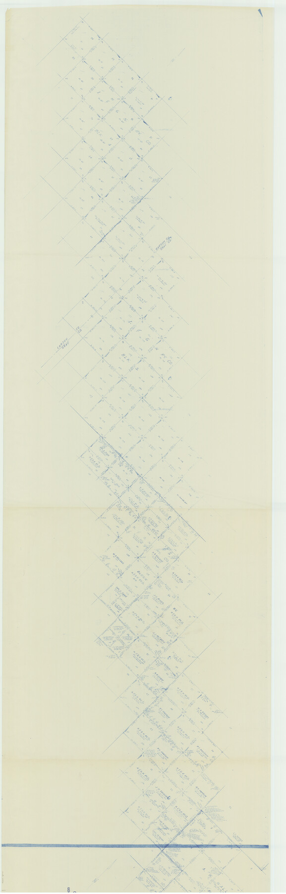
Gray County Working Sketch 1
-
Map/Doc
63232
-
Collection
General Map Collection
-
Counties
Gray Carson
-
Subjects
Surveying Working Sketch
-
Height x Width
121.0 x 38.8 inches
307.3 x 98.6 cm
-
Comments
Segment 1 of 2; For segment 2 see 62196.
Related maps
Gray County Working Sketch 1

Print $20.00
- Digital $50.00
Gray County Working Sketch 1
1957
Size 37.3 x 17.4 inches
Map/Doc 62196
Part of: General Map Collection
Montgomery County Texas Historical Map

Montgomery County Texas Historical Map
Size 23.2 x 35.3 inches
Map/Doc 94404
Flight Mission No. DCL-4C, Frame 5, Kenedy County

Print $20.00
- Digital $50.00
Flight Mission No. DCL-4C, Frame 5, Kenedy County
1943
Size 18.6 x 22.3 inches
Map/Doc 85806
Maverick County Working Sketch 14

Print $20.00
- Digital $50.00
Maverick County Working Sketch 14
1970
Size 41.2 x 42.6 inches
Map/Doc 70906
Flight Mission No. DCL-5C, Frame 67, Kenedy County

Print $20.00
- Digital $50.00
Flight Mission No. DCL-5C, Frame 67, Kenedy County
1943
Size 18.5 x 22.2 inches
Map/Doc 85850
Flight Mission No. CRC-3R, Frame 47, Chambers County

Print $20.00
- Digital $50.00
Flight Mission No. CRC-3R, Frame 47, Chambers County
1956
Size 18.6 x 22.3 inches
Map/Doc 84820
Sabine County Working Sketch 15

Print $20.00
- Digital $50.00
Sabine County Working Sketch 15
1957
Size 21.2 x 34.9 inches
Map/Doc 63686
Bee County Sketch File 30

Print $6.00
- Digital $50.00
Bee County Sketch File 30
Size 14.2 x 8.9 inches
Map/Doc 14341
Sketch of coast of Texas, Laguna Madre from Pt. of Rocks to Corpus Christi [and accompanying letter]
![72964, Sketch of coast of Texas, Laguna Madre from Pt. of Rocks to Corpus Christi [and accompanying letter], General Map Collection](https://historictexasmaps.com/wmedia_w700/maps/72964.tif.jpg)
Print $2.00
- Digital $50.00
Sketch of coast of Texas, Laguna Madre from Pt. of Rocks to Corpus Christi [and accompanying letter]
Size 11.2 x 8.8 inches
Map/Doc 72964
Tyler County Working Sketch 3

Print $20.00
- Digital $50.00
Tyler County Working Sketch 3
1922
Size 28.0 x 32.6 inches
Map/Doc 69473
1968 Texas Official State Highway Map

Digital $50.00
1968 Texas Official State Highway Map
Size 28.2 x 36.3 inches
Map/Doc 94320
Flight Mission No. DCL-7C, Frame 39, Kenedy County

Print $20.00
- Digital $50.00
Flight Mission No. DCL-7C, Frame 39, Kenedy County
1943
Size 15.3 x 15.3 inches
Map/Doc 86027
Presidio County Rolled Sketch 131A

Print $20.00
- Digital $50.00
Presidio County Rolled Sketch 131A
1975
Size 30.5 x 24.9 inches
Map/Doc 10706
You may also like
Gulf Intracoastal Waterway - Texas Erosion at the West End of Bolivar Peninsula Comparative Shorelines

Print $20.00
- Digital $50.00
Gulf Intracoastal Waterway - Texas Erosion at the West End of Bolivar Peninsula Comparative Shorelines
1950
Size 29.0 x 40.3 inches
Map/Doc 61826
Coleman County Sketch File 37

Print $4.00
- Digital $50.00
Coleman County Sketch File 37
1891
Size 11.1 x 8.4 inches
Map/Doc 18742
Flight Mission No. BRA-16M, Frame 73, Jefferson County

Print $20.00
- Digital $50.00
Flight Mission No. BRA-16M, Frame 73, Jefferson County
1953
Size 18.7 x 22.3 inches
Map/Doc 85690
G. C. & S. F., Main Line, Texas, Right of Way map, Rio Vista to Crowley

Print $40.00
- Digital $50.00
G. C. & S. F., Main Line, Texas, Right of Way map, Rio Vista to Crowley
1916
Size 40.2 x 92.0 inches
Map/Doc 64654
Platte (sic) of the unorganized County School Lands in the District of Young

Print $20.00
- Digital $50.00
Platte (sic) of the unorganized County School Lands in the District of Young
Size 16.0 x 12.3 inches
Map/Doc 90453

General Highway Map, Presidio County, Texas

Print $20.00
General Highway Map, Presidio County, Texas
1940
Size 24.6 x 18.3 inches
Map/Doc 79222
Nolan County Working Sketch 8

Print $40.00
- Digital $50.00
Nolan County Working Sketch 8
1956
Size 70.8 x 33.0 inches
Map/Doc 71299
Plat of a survey on Padre Island in Willacy and Kenedy Counties surveyed for South Padre Development Corporation by Claunch and Associates

Print $20.00
- Digital $50.00
Plat of a survey on Padre Island in Willacy and Kenedy Counties surveyed for South Padre Development Corporation by Claunch and Associates
1973
Size 46.5 x 41.6 inches
Map/Doc 61424
Map of the Missouri, Kansas & Texas Railway and its connecting lines

Print $20.00
- Digital $50.00
Map of the Missouri, Kansas & Texas Railway and its connecting lines
1901
Size 16.3 x 9.1 inches
Map/Doc 95810
Travis County Sketch File 11a

Print $4.00
- Digital $50.00
Travis County Sketch File 11a
1873
Size 10.0 x 8.0 inches
Map/Doc 38302
Hutchinson County Sketch File 8

Print $8.00
- Digital $50.00
Hutchinson County Sketch File 8
1882
Size 14.2 x 8.8 inches
Map/Doc 27205