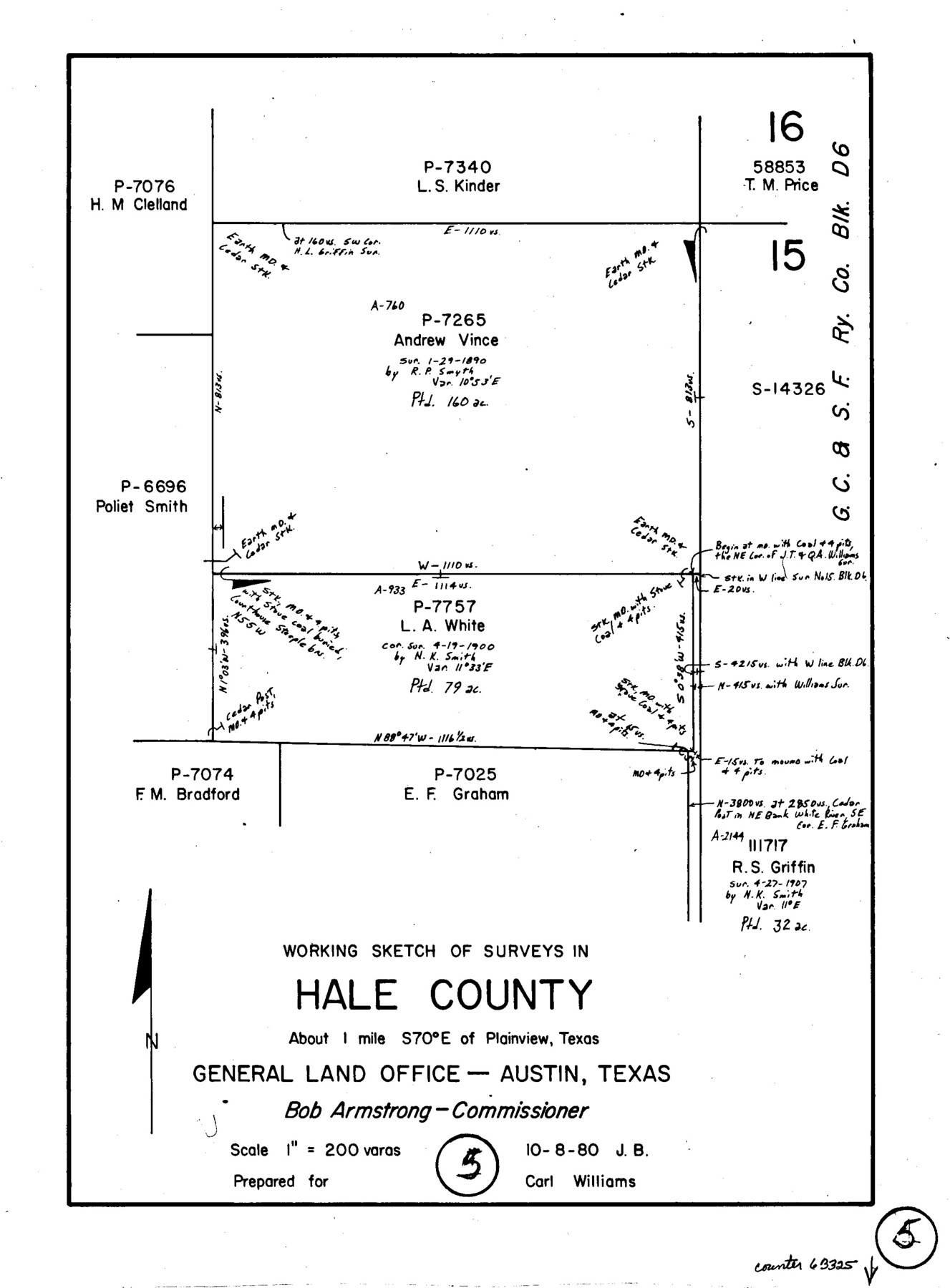
Hale County Working Sketch 5
-
Map/Doc
63325
-
Collection
General Map Collection
-
Object Dates
10/8/1980 (Creation Date)
-
People and Organizations
Jana Brod (Draftsman)
-
Counties
Hale
-
Subjects
Surveying Working Sketch
-
Height x Width
15.0 x 11.1 inches
38.1 x 28.2 cm
-
Scale
1" = 200 varas
Part of: General Map Collection
Trinity County Working Sketch 13

Print $20.00
- Digital $50.00
Trinity County Working Sketch 13
1956
Size 18.2 x 24.7 inches
Map/Doc 69462
Lavaca County Working Sketch 21

Print $20.00
- Digital $50.00
Lavaca County Working Sketch 21
1982
Size 16.1 x 18.1 inches
Map/Doc 70374
Hardin County Working Sketch 44

Print $40.00
- Digital $50.00
Hardin County Working Sketch 44
1954
Size 53.2 x 39.9 inches
Map/Doc 65610
Flight Mission No. DAH-17M, Frame 61, Orange County

Print $20.00
- Digital $50.00
Flight Mission No. DAH-17M, Frame 61, Orange County
1953
Size 18.6 x 22.5 inches
Map/Doc 86895
El Paso County Sketch File 39

Print $27.00
- Digital $50.00
El Paso County Sketch File 39
1922
Size 13.9 x 8.8 inches
Map/Doc 22225
Marion County Working Sketch 19

Print $20.00
- Digital $50.00
Marion County Working Sketch 19
1958
Size 29.0 x 23.6 inches
Map/Doc 70795
Bexar County Working Sketch 1

Print $20.00
- Digital $50.00
Bexar County Working Sketch 1
1935
Size 36.7 x 47.8 inches
Map/Doc 67317
Il Texas: La Ferrovia New York Texas-Messicana, La Colonizzazione Italiana della costa del Texas

Print $20.00
- Digital $50.00
Il Texas: La Ferrovia New York Texas-Messicana, La Colonizzazione Italiana della costa del Texas
1881
Size 17.6 x 22.0 inches
Map/Doc 97406
Flight Mission No. BQR-20K, Frame 11, Brazoria County

Print $20.00
- Digital $50.00
Flight Mission No. BQR-20K, Frame 11, Brazoria County
1952
Size 18.7 x 22.3 inches
Map/Doc 84113
Right of Way and Track Map, the Missouri, Kansas and Texas Ry. of Texas - Henrietta Division

Print $20.00
- Digital $50.00
Right of Way and Track Map, the Missouri, Kansas and Texas Ry. of Texas - Henrietta Division
1918
Size 11.7 x 26.9 inches
Map/Doc 64749
Cooke County Sketch File 44

Print $20.00
- Digital $50.00
Cooke County Sketch File 44
1928
Size 20.4 x 20.6 inches
Map/Doc 11178
Hudspeth County Rolled Sketch 43

Print $40.00
- Digital $50.00
Hudspeth County Rolled Sketch 43
1932
Size 155.2 x 14.6 inches
Map/Doc 9216
You may also like
Flight Mission No. DIX-7P, Frame 92, Aransas County

Print $20.00
- Digital $50.00
Flight Mission No. DIX-7P, Frame 92, Aransas County
1956
Size 18.7 x 22.4 inches
Map/Doc 83886
Map showing lands of D. Sullivan situated in Starr County, Texas

Print $20.00
- Digital $50.00
Map showing lands of D. Sullivan situated in Starr County, Texas
Size 15.5 x 18.6 inches
Map/Doc 755
Duval County Working Sketch 24

Print $20.00
- Digital $50.00
Duval County Working Sketch 24
1944
Size 40.0 x 27.3 inches
Map/Doc 68748
Marion County Working Sketch 13

Print $20.00
- Digital $50.00
Marion County Working Sketch 13
1953
Size 33.2 x 36.3 inches
Map/Doc 70789
Plat of tract surveyed for S. W. Inglish

Print $20.00
- Digital $50.00
Plat of tract surveyed for S. W. Inglish
1920
Size 18.2 x 6.7 inches
Map/Doc 90822
"Capture of Cynthia Ann Parker"

Print $20.00
"Capture of Cynthia Ann Parker"
Size 20.0 x 16.0 inches
Map/Doc 94150
Zapata County Rolled Sketch 22

Print $20.00
- Digital $50.00
Zapata County Rolled Sketch 22
1958
Size 29.2 x 21.5 inches
Map/Doc 8317
Tarrant County Working Sketch 7

Print $40.00
- Digital $50.00
Tarrant County Working Sketch 7
1981
Size 18.9 x 54.3 inches
Map/Doc 62424
Dallas County Sketch File 17

Print $20.00
- Digital $50.00
Dallas County Sketch File 17
Size 17.1 x 18.0 inches
Map/Doc 11285
Flight Mission No. BRA-3M, Frame 121, Jefferson County

Print $20.00
- Digital $50.00
Flight Mission No. BRA-3M, Frame 121, Jefferson County
1953
Size 18.8 x 22.3 inches
Map/Doc 85395
The Republic County of Bexar. January 29, 1842

Print $20.00
The Republic County of Bexar. January 29, 1842
2020
Size 14.7 x 21.7 inches
Map/Doc 96099
Andrews County

Print $20.00
- Digital $50.00
Andrews County
1887
Size 22.8 x 25.8 inches
Map/Doc 3230