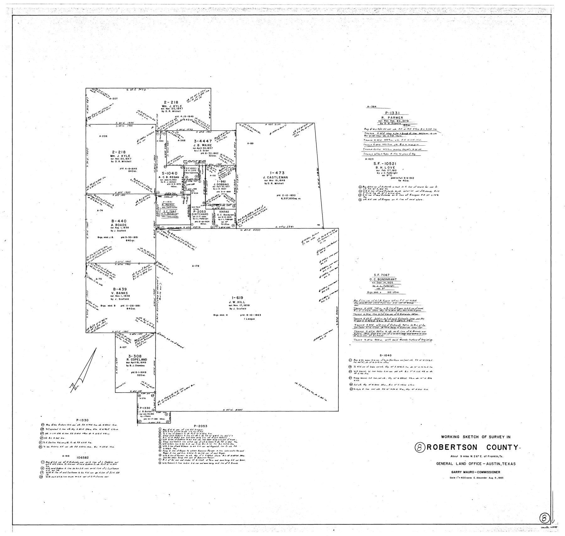
Robertson County Working Sketch 8
-
Map/Doc
63581
-
Collection
General Map Collection
-
Object Dates
8/9/1983 (Creation Date)
-
People and Organizations
Earl Alexander (Draftsman)
-
Counties
Robertson
-
Subjects
Surveying Working Sketch
-
Height x Width
36.7 x 38.7 inches
93.2 x 98.3 cm
-
Scale
1" = 400 varas
Part of: General Map Collection
Crockett County Sketch File 72

Print $14.00
- Digital $50.00
Crockett County Sketch File 72
Size 14.0 x 8.6 inches
Map/Doc 19862
Flight Mission No. DQN-2K, Frame 118, Calhoun County

Print $20.00
- Digital $50.00
Flight Mission No. DQN-2K, Frame 118, Calhoun County
1953
Size 18.5 x 22.2 inches
Map/Doc 84294

La Salle County Sketch File 52

Print $9.00
- Digital $50.00
La Salle County Sketch File 52
1949
Size 11.7 x 9.1 inches
Map/Doc 29620
Red River County Working Sketch 3

Print $20.00
- Digital $50.00
Red River County Working Sketch 3
1919
Size 14.2 x 12.8 inches
Map/Doc 71986
Henderson County Working Sketch 31

Print $20.00
- Digital $50.00
Henderson County Working Sketch 31
1962
Size 38.7 x 39.6 inches
Map/Doc 66164
Carson County Sketch File 6a

Print $10.00
- Digital $50.00
Carson County Sketch File 6a
1928
Size 14.1 x 8.4 inches
Map/Doc 17374
Orange County Sketch File 25

Print $20.00
- Digital $50.00
Orange County Sketch File 25
1914
Size 19.6 x 38.2 inches
Map/Doc 12122
Stonewall County Sketch File X

Print $20.00
- Digital $50.00
Stonewall County Sketch File X
1901
Size 25.8 x 18.1 inches
Map/Doc 12378
Crane County Sketch File 14 (C-2)

Print $8.00
- Digital $50.00
Crane County Sketch File 14 (C-2)
1925
Size 9.3 x 7.7 inches
Map/Doc 19575
Hutchinson County Rolled Sketch 44-3

Print $20.00
- Digital $50.00
Hutchinson County Rolled Sketch 44-3
2002
Size 24.0 x 36.0 inches
Map/Doc 77539
San Patricio County NRC Article 33.136 Sketch 8

Print $26.00
- Digital $50.00
San Patricio County NRC Article 33.136 Sketch 8
2018
Size 11.0 x 17.0 inches
Map/Doc 95341
You may also like
Aransas County NRC Article 33.136 Sketch 7

Print $46.00
- Digital $50.00
Aransas County NRC Article 33.136 Sketch 7
2000
Size 11.0 x 8.6 inches
Map/Doc 13563
Sherman County Rolled Sketch 5

Print $20.00
- Digital $50.00
Sherman County Rolled Sketch 5
1919
Size 36.9 x 41.4 inches
Map/Doc 9928
Bosque County Working Sketch 1

Print $20.00
- Digital $50.00
Bosque County Working Sketch 1
Size 16.3 x 13.7 inches
Map/Doc 67434
Duval County Rolled Sketch 30A

Print $40.00
- Digital $50.00
Duval County Rolled Sketch 30A
1896
Size 59.7 x 40.8 inches
Map/Doc 76145
Flight Mission No. BRA-7M, Frame 41, Jefferson County

Print $20.00
- Digital $50.00
Flight Mission No. BRA-7M, Frame 41, Jefferson County
1953
Size 18.6 x 22.3 inches
Map/Doc 85492
Dallam County

Print $20.00
- Digital $50.00
Dallam County
1901
Size 42.3 x 52.4 inches
Map/Doc 16953
[Surveys in Chambers County]
![249, [Surveys in Chambers County], General Map Collection](https://historictexasmaps.com/wmedia_w700/maps/249.tif.jpg)
Print $2.00
- Digital $50.00
[Surveys in Chambers County]
1847
Size 7.8 x 5.0 inches
Map/Doc 249
Sketch in Cochran County, Texas

Print $20.00
- Digital $50.00
Sketch in Cochran County, Texas
1949
Size 21.8 x 21.0 inches
Map/Doc 92495
Flight Mission No. DQO-7K, Frame 84, Galveston County

Print $20.00
- Digital $50.00
Flight Mission No. DQO-7K, Frame 84, Galveston County
1952
Size 18.8 x 22.5 inches
Map/Doc 85111
Flight Mission No. DQN-2K, Frame 65, Calhoun County

Print $20.00
- Digital $50.00
Flight Mission No. DQN-2K, Frame 65, Calhoun County
1953
Size 18.5 x 22.2 inches
Map/Doc 84257
[Sketch of Survey 9, Block Z3]
![93089, [Sketch of Survey 9, Block Z3], Twichell Survey Records](https://historictexasmaps.com/wmedia_w700/maps/93089-1.tif.jpg)
Print $2.00
- Digital $50.00
[Sketch of Survey 9, Block Z3]
Size 8.9 x 7.3 inches
Map/Doc 93089
Tarrant County Working Sketch 15

Print $20.00
- Digital $50.00
Tarrant County Working Sketch 15
1989
Size 33.0 x 38.3 inches
Map/Doc 62432