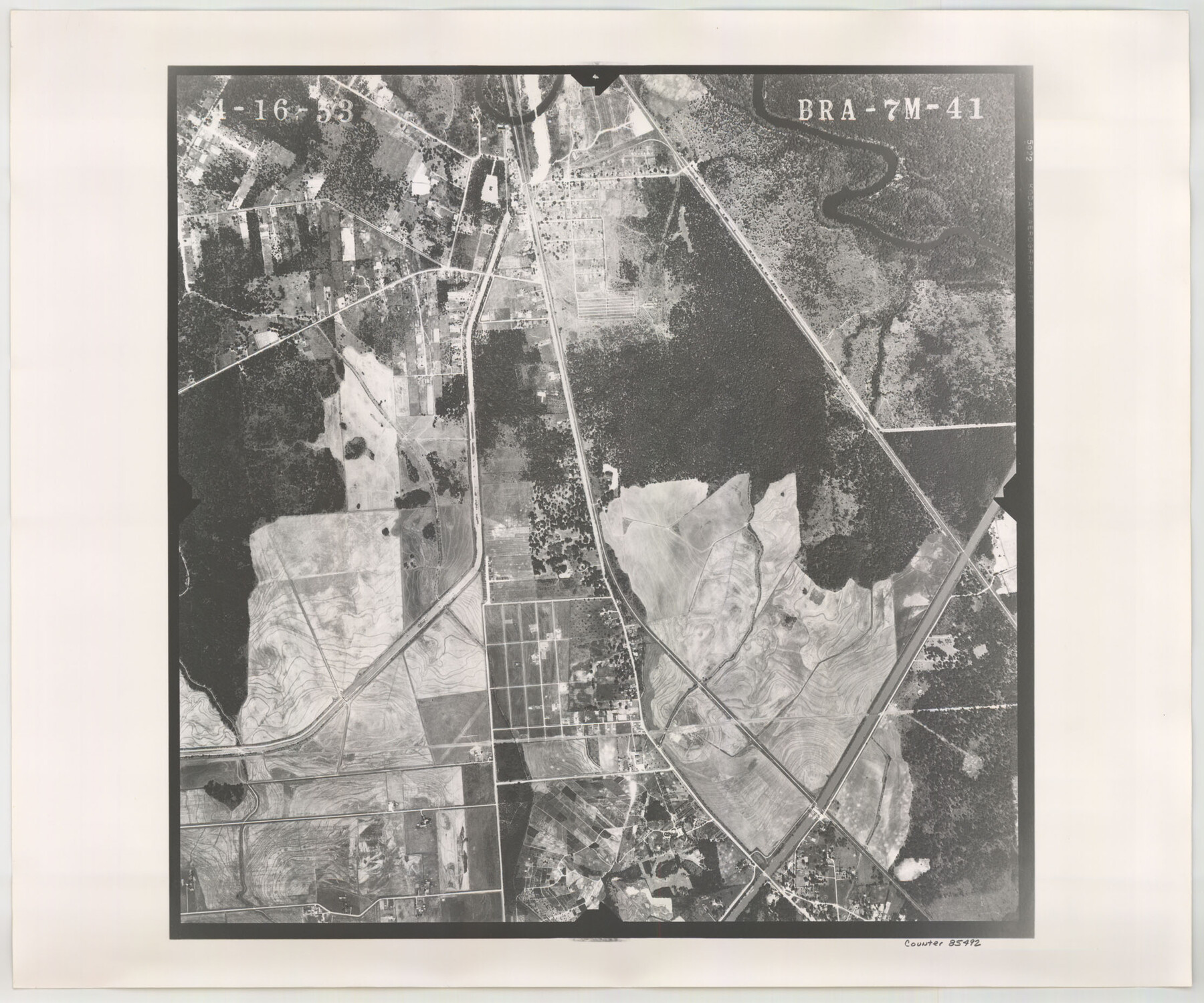
Flight Mission No. BRA-7M, Frame 41, Jefferson County
BRA-7M-41
-
Map/Doc
85492
-
Collection
General Map Collection
-
Object Dates
1953/4/16 (Creation Date)
-
People and Organizations
U. S. Department of Agriculture (Publisher)
-
Counties
Jefferson
-
Subjects
Aerial Photograph
-
Height x Width
18.6 x 22.3 inches
47.2 x 56.6 cm
-
Comments
Flown by Jack Ammann Photogrammetric Engineers of San Antonio, Texas.
Part of: General Map Collection

Stephens County Working Sketch 2

Print $20.00
- Digital $50.00
Stephens County Working Sketch 2
1918
Size 17.1 x 21.1 inches
Map/Doc 63945
Culberson County Rolled Sketch 14

Print $20.00
- Digital $50.00
Culberson County Rolled Sketch 14
1902
Size 35.3 x 34.6 inches
Map/Doc 8743
Plan of the Battle of Buena-Vista fought February 22nd and 23rd, 1847

Print $20.00
- Digital $50.00
Plan of the Battle of Buena-Vista fought February 22nd and 23rd, 1847
1847
Size 17.6 x 21.6 inches
Map/Doc 95829
Potter County Rolled Sketch 13

Print $20.00
- Digital $50.00
Potter County Rolled Sketch 13
2004
Size 18.7 x 23.2 inches
Map/Doc 82477
A New and Accurate Map of Louisiana with parts of Florida and Canada and the Adjacent Countries

Print $20.00
- Digital $50.00
A New and Accurate Map of Louisiana with parts of Florida and Canada and the Adjacent Countries
1747
Size 15.8 x 18.6 inches
Map/Doc 93680
La Salle County Sketch File 53

Print $8.00
- Digital $50.00
La Salle County Sketch File 53
1992
Size 11.2 x 8.8 inches
Map/Doc 29624

Refugio County NRC Article 33.136 Sketch 4

Print $46.00
- Digital $50.00
Refugio County NRC Article 33.136 Sketch 4
2014
Size 18.0 x 24.0 inches
Map/Doc 94491
Cooke County Working Sketch 37

Print $20.00
- Digital $50.00
Cooke County Working Sketch 37
1995
Size 21.7 x 18.9 inches
Map/Doc 68274
Val Verde County Sketch File XX

Print $20.00
- Digital $50.00
Val Verde County Sketch File XX
Size 14.5 x 16.7 inches
Map/Doc 12546
Dickens County Sketch File N

Print $4.00
- Digital $50.00
Dickens County Sketch File N
1903
Size 8.3 x 13.6 inches
Map/Doc 20942
You may also like

Cameron County Rolled Sketch 19

Print $20.00
- Digital $50.00
Cameron County Rolled Sketch 19
1960
Size 27.0 x 20.5 inches
Map/Doc 5469
[Block RG, Block C, San Augustine School Land]
![92863, [Block RG, Block C, San Augustine School Land], Twichell Survey Records](https://historictexasmaps.com/wmedia_w700/maps/92863-1.tif.jpg)
Print $20.00
- Digital $50.00
[Block RG, Block C, San Augustine School Land]
Size 32.8 x 38.7 inches
Map/Doc 92863
Map of Wharton County

Print $20.00
- Digital $50.00
Map of Wharton County
1884
Size 24.8 x 28.0 inches
Map/Doc 4137
Williamson County Working Sketch 7

Print $20.00
- Digital $50.00
Williamson County Working Sketch 7
1949
Size 30.2 x 37.3 inches
Map/Doc 72567
Nacogdoches County Working Sketch 11

Print $20.00
- Digital $50.00
Nacogdoches County Working Sketch 11
1985
Size 41.1 x 28.0 inches
Map/Doc 71227
Red River County Working Sketch 34

Print $20.00
- Digital $50.00
Red River County Working Sketch 34
1963
Size 25.8 x 33.1 inches
Map/Doc 72017
O. L. Fulenwider Farm SE 1/4 Section 83, Block 1 Halsell Subdivision

Print $3.00
- Digital $50.00
O. L. Fulenwider Farm SE 1/4 Section 83, Block 1 Halsell Subdivision
Size 11.9 x 14.3 inches
Map/Doc 92407
Presidio County Rolled Sketch 95

Print $20.00
- Digital $50.00
Presidio County Rolled Sketch 95
1949
Size 45.4 x 37.5 inches
Map/Doc 9781
Isham Tubbs Estate

Print $3.00
- Digital $50.00
Isham Tubbs Estate
1947
Size 15.5 x 9.3 inches
Map/Doc 92304
Brewster County Working Sketch 31

Print $20.00
- Digital $50.00
Brewster County Working Sketch 31
1943
Size 24.7 x 20.8 inches
Map/Doc 67565
Harris County Working Sketch 89

Print $20.00
- Digital $50.00
Harris County Working Sketch 89
1972
Size 37.3 x 39.0 inches
Map/Doc 65981