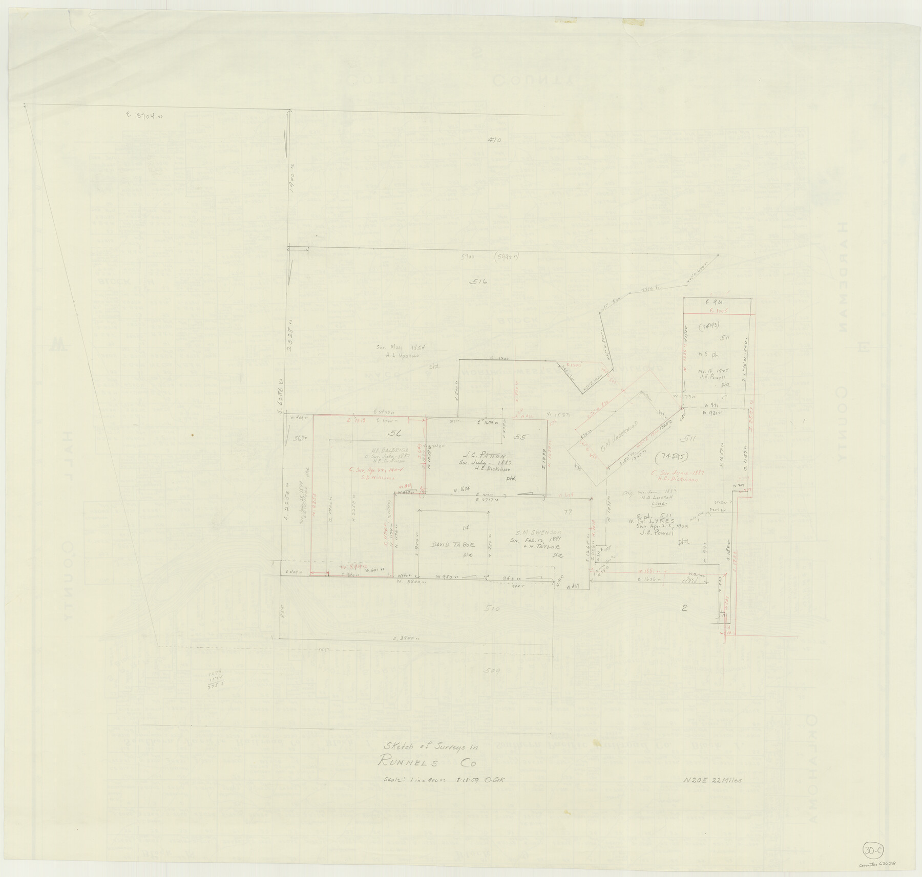
Runnels County Working Sketch 30c
-
Map/Doc
63628
-
Collection
General Map Collection
-
Object Dates
8/18/1959 (Creation Date)
-
People and Organizations
Otto G. Kurio (Draftsman)
-
Counties
Runnels
-
Subjects
Surveying Working Sketch
-
Height x Width
30.5 x 32.1 inches
77.5 x 81.5 cm
-
Scale
1" = 400 varas
Part of: General Map Collection
Donley County Sketch File 11

Print $8.00
- Digital $50.00
Donley County Sketch File 11
1892
Size 14.6 x 8.3 inches
Map/Doc 21244
Starr County Sketch File 7

Print $20.00
- Digital $50.00
Starr County Sketch File 7
Size 25.4 x 20.8 inches
Map/Doc 12326
Coryell County

Print $20.00
- Digital $50.00
Coryell County
1936
Size 46.8 x 43.4 inches
Map/Doc 1810
Donley County Sketch File 4

Print $28.00
- Digital $50.00
Donley County Sketch File 4
1881
Size 12.8 x 8.3 inches
Map/Doc 21219
Foard County Sketch File 31

Print $6.00
- Digital $50.00
Foard County Sketch File 31
1945
Size 14.5 x 9.1 inches
Map/Doc 22861
Red River County

Print $20.00
- Digital $50.00
Red River County
1934
Size 45.0 x 38.6 inches
Map/Doc 77405
Flight Mission No. CGI-1N, Frame 222, Cameron County

Print $20.00
- Digital $50.00
Flight Mission No. CGI-1N, Frame 222, Cameron County
1955
Size 18.4 x 22.1 inches
Map/Doc 84532
Stonewall County Rolled Sketch 14

Print $20.00
- Digital $50.00
Stonewall County Rolled Sketch 14
1902
Size 32.9 x 25.2 inches
Map/Doc 7869
Hale County Rolled Sketch 9

Print $20.00
- Digital $50.00
Hale County Rolled Sketch 9
Size 25.1 x 17.6 inches
Map/Doc 6047
Uvalde County Rolled Sketch 22

Print $20.00
- Digital $50.00
Uvalde County Rolled Sketch 22
2002
Size 30.4 x 41.0 inches
Map/Doc 78656
Pecos County Sketch File 114

Print $18.00
- Digital $50.00
Pecos County Sketch File 114
1912
Size 13.3 x 8.9 inches
Map/Doc 34074
Childress County Sketch File 1

Print $16.00
- Digital $50.00
Childress County Sketch File 1
1877
Size 12.8 x 8.3 inches
Map/Doc 18235
You may also like
Harris County Working Sketch 56

Print $20.00
- Digital $50.00
Harris County Working Sketch 56
1950
Size 33.2 x 31.6 inches
Map/Doc 65948
Flight Mission No. DQO-2K, Frame 83, Galveston County

Print $20.00
- Digital $50.00
Flight Mission No. DQO-2K, Frame 83, Galveston County
1952
Size 18.8 x 22.5 inches
Map/Doc 85010

Port Facilities at Houston, Tex.

Print $20.00
- Digital $50.00
Port Facilities at Houston, Tex.
1924
Size 14.1 x 30.3 inches
Map/Doc 97167
General Highway Map, Brazos County, Texas

Print $20.00
General Highway Map, Brazos County, Texas
1940
Size 25.2 x 18.5 inches
Map/Doc 79026

Liberty County Sketch File 8

Print $2.00
- Digital $50.00
Liberty County Sketch File 8
Size 8.3 x 10.1 inches
Map/Doc 29899
Atlantic Coast to the Rocky Mountains

Atlantic Coast to the Rocky Mountains
1956
Size 42.3 x 29.5 inches
Map/Doc 94410
Roberts County

Print $20.00
- Digital $50.00
Roberts County
1889
Size 20.8 x 19.8 inches
Map/Doc 3993
Flight Mission No. CRC-3R, Frame 51, Chambers County

Print $20.00
- Digital $50.00
Flight Mission No. CRC-3R, Frame 51, Chambers County
1956
Size 18.7 x 22.4 inches
Map/Doc 84824
McLennan County Boundary File 2a

Print $10.00
- Digital $50.00
McLennan County Boundary File 2a
Size 8.7 x 5.7 inches
Map/Doc 56958
Atascosa County Working Sketch 21

Print $20.00
- Digital $50.00
Atascosa County Working Sketch 21
1954
Size 26.0 x 22.4 inches
Map/Doc 67217