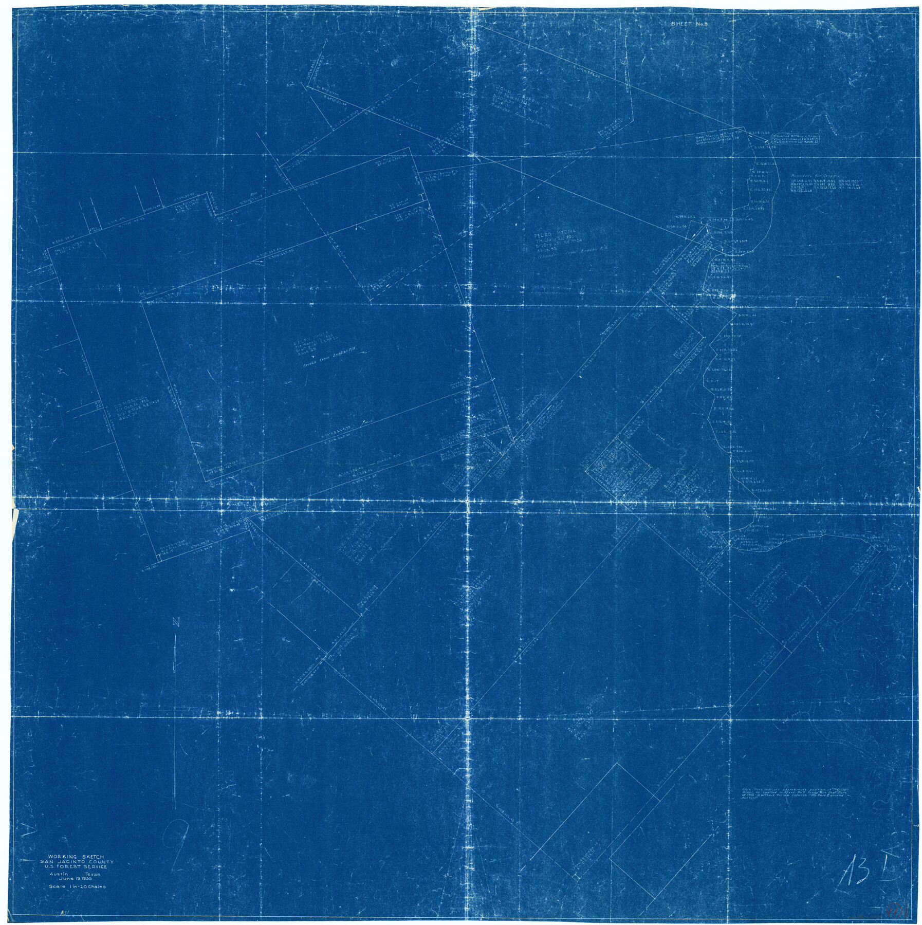
San Jacinto County Working Sketch 11
-
Map/Doc
63724
-
Collection
General Map Collection
-
Object Dates
6/19/1935 (Creation Date)
-
People and Organizations
U.S. Forest Service (Draftsman)
-
Counties
San Jacinto
-
Subjects
Surveying Working Sketch
-
Height x Width
40.1 x 40.0 inches
101.9 x 101.6 cm
-
Scale
1" = 20 chains
Part of: General Map Collection
Ochiltree County Sketch File 1

Print $20.00
- Digital $50.00
Ochiltree County Sketch File 1
1888
Size 30.4 x 26.8 inches
Map/Doc 42201
Sketches of Surveys in Jefferson County

Print $2.00
- Digital $50.00
Sketches of Surveys in Jefferson County
1841
Size 7.5 x 7.0 inches
Map/Doc 326
Kinney County Rolled Sketch 17

Print $20.00
- Digital $50.00
Kinney County Rolled Sketch 17
1965
Size 18.4 x 21.5 inches
Map/Doc 6544
Brewster County Rolled Sketch 126

Print $225.00
- Digital $50.00
Brewster County Rolled Sketch 126
1908
Map/Doc 43230
Kent County Working Sketch 9

Print $20.00
- Digital $50.00
Kent County Working Sketch 9
1953
Size 33.0 x 43.8 inches
Map/Doc 70016
Map of San Marcos

Print $20.00
- Digital $50.00
Map of San Marcos
1942
Size 27.4 x 21.6 inches
Map/Doc 2211
Montgomery County Sketch File 4

Print $8.00
- Digital $50.00
Montgomery County Sketch File 4
1854
Size 12.0 x 8.1 inches
Map/Doc 31775

Brewster County Rolled Sketch 9

Print $40.00
- Digital $50.00
Brewster County Rolled Sketch 9
Size 38.7 x 67.5 inches
Map/Doc 8468
Current Miscellaneous File 104

Print $8.00
- Digital $50.00
Current Miscellaneous File 104
1845
Size 11.0 x 16.8 inches
Map/Doc 74677
Eastland County Working Sketch 61

Print $20.00
- Digital $50.00
Eastland County Working Sketch 61
1989
Size 35.4 x 41.0 inches
Map/Doc 68842
[Surveys on the Neches River]
![220, [Surveys on the Neches River], General Map Collection](https://historictexasmaps.com/wmedia_w700/maps/220.tif.jpg)
Print $2.00
- Digital $50.00
[Surveys on the Neches River]
1845
Size 6.0 x 3.8 inches
Map/Doc 220
You may also like

Tom Green County Boundary File 2

Print $50.00
- Digital $50.00
Tom Green County Boundary File 2
Size 14.5 x 9.0 inches
Map/Doc 59335
Brown County Sketch File 19

Print $8.00
- Digital $50.00
Brown County Sketch File 19
1873
Size 12.8 x 8.2 inches
Map/Doc 16616
Gonzales County

Print $40.00
- Digital $50.00
Gonzales County
1986
Size 39.9 x 52.0 inches
Map/Doc 77292
Travis County Boundary File 20

Print $6.00
- Digital $50.00
Travis County Boundary File 20
Size 14.4 x 9.2 inches
Map/Doc 59454
Map of Roberts County

Print $40.00
- Digital $50.00
Map of Roberts County
1900
Size 45.3 x 50.0 inches
Map/Doc 3990
Webb County Working Sketch 78

Print $20.00
- Digital $50.00
Webb County Working Sketch 78
1977
Size 35.0 x 42.1 inches
Map/Doc 72445
The Republic County of Matagorda. 1840

Print $20.00
The Republic County of Matagorda. 1840
2020
Size 21.0 x 21.7 inches
Map/Doc 96218
Flight Mission No. DQO-2K, Frame 133, Galveston County

Print $20.00
- Digital $50.00
Flight Mission No. DQO-2K, Frame 133, Galveston County
1952
Size 18.7 x 22.5 inches
Map/Doc 85030
Copy of Surveyor's Field Book, Morris Browning - In Blocks 7, 5 & 4, I&GNRRCo., Hutchinson and Carson Counties, Texas

Print $2.00
- Digital $50.00
Copy of Surveyor's Field Book, Morris Browning - In Blocks 7, 5 & 4, I&GNRRCo., Hutchinson and Carson Counties, Texas
1888
Size 6.9 x 8.8 inches
Map/Doc 62271
Olton Independent School District Lamb County, Texas

Print $20.00
- Digital $50.00
Olton Independent School District Lamb County, Texas
Size 22.3 x 28.5 inches
Map/Doc 92202
[Blocks 10T, O7, S2, S3, T2, T3, JB and A]
![89953, [Blocks 10T, O7, S2, S3, T2, T3, JB and A], Twichell Survey Records](https://historictexasmaps.com/wmedia_w700/maps/89953-1.tif.jpg)
Print $20.00
- Digital $50.00
[Blocks 10T, O7, S2, S3, T2, T3, JB and A]
Size 41.8 x 37.7 inches
Map/Doc 89953