[Surveys on the Neches River]
Atlas G, Page 6, Sketch 3 (G-6-3)
G-6-3
-
Map/Doc
220
-
Collection
General Map Collection
-
Object Dates
1845 (Creation Date)
-
Counties
Anderson
-
Subjects
Atlas
-
Height x Width
6.0 x 3.8 inches
15.2 x 9.7 cm
-
Medium
paper, manuscript
-
Comments
Conserved in 2003.
-
Features
[Neches River]
Part of: General Map Collection
Williamson County Sketch File 8

Print $4.00
- Digital $50.00
Williamson County Sketch File 8
1847
Size 12.8 x 8.0 inches
Map/Doc 40318
Chambers County Sketch File 18b


Print $15.00
- Digital $50.00
Chambers County Sketch File 18b
1901
Size 9.2 x 8.1 inches
Map/Doc 17571
Brazos River, East Waco Sheet


Print $6.00
- Digital $50.00
Brazos River, East Waco Sheet
1928
Size 31.6 x 25.9 inches
Map/Doc 65283
Runnels County Working Sketch 23

Print $20.00
- Digital $50.00
Runnels County Working Sketch 23
1953
Size 34.7 x 31.4 inches
Map/Doc 63619
Armstrong County Working Sketch 7

Print $20.00
- Digital $50.00
Armstrong County Working Sketch 7
Size 18.1 x 16.4 inches
Map/Doc 67238
Andrews County Working Sketch 2


Print $20.00
- Digital $50.00
Andrews County Working Sketch 2
1949
Size 23.2 x 23.7 inches
Map/Doc 67048
Map of Marion County


Print $20.00
- Digital $50.00
Map of Marion County
1920
Size 29.2 x 43.2 inches
Map/Doc 66916
Scurry County Rolled Sketch 11
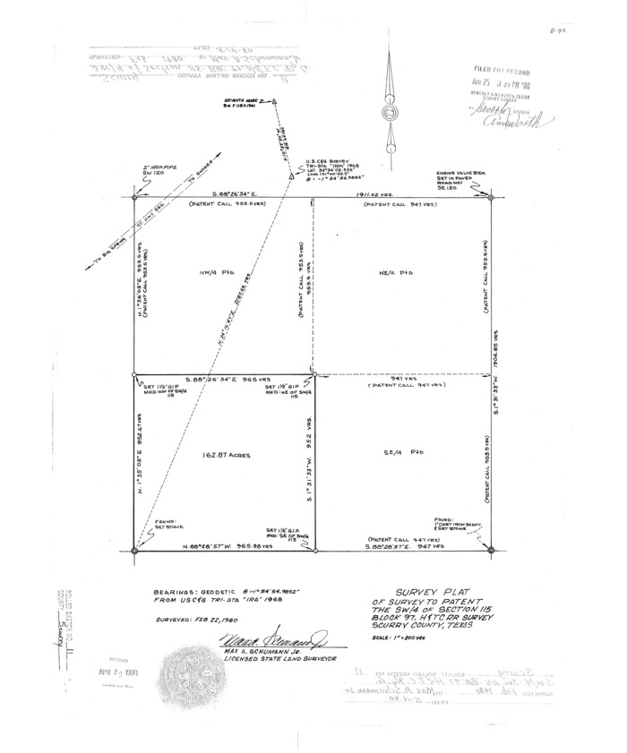

Print $20.00
- Digital $50.00
Scurry County Rolled Sketch 11
Size 20.2 x 16.8 inches
Map/Doc 7771
Upshur County


Print $20.00
- Digital $50.00
Upshur County
1945
Size 39.8 x 35.8 inches
Map/Doc 73308
Crosby County Sketch File 35
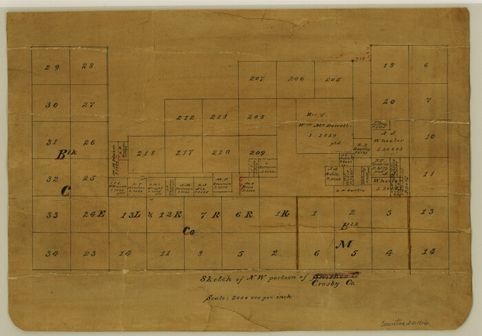

Print $4.00
- Digital $50.00
Crosby County Sketch File 35
Size 8.5 x 12.1 inches
Map/Doc 20106
You may also like
Sutton County Rolled Sketch 69
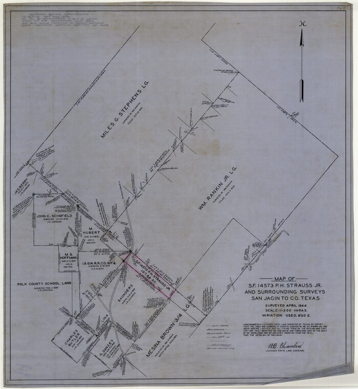

Print $20.00
- Digital $50.00
Sutton County Rolled Sketch 69
Size 39.7 x 36.6 inches
Map/Doc 9981
Concho County Boundary File 4
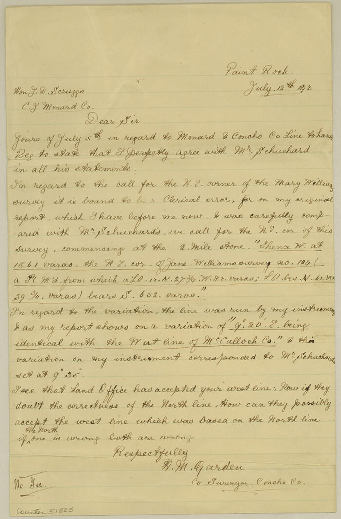

Print $2.00
- Digital $50.00
Concho County Boundary File 4
Size 12.7 x 8.4 inches
Map/Doc 51825
Fort Bend County Sketch File 4a


Print $40.00
- Digital $50.00
Fort Bend County Sketch File 4a
1887
Size 15.8 x 12.3 inches
Map/Doc 22887
Lee County Working Sketch 17
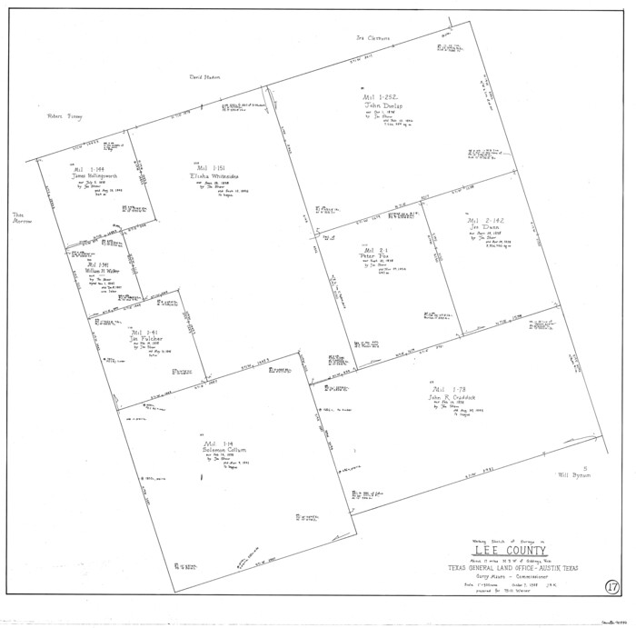

Print $20.00
- Digital $50.00
Lee County Working Sketch 17
1988
Size 31.8 x 32.2 inches
Map/Doc 70396
Rockwall County
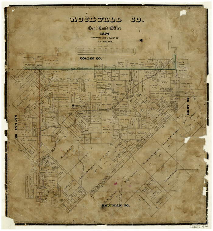

Print $20.00
- Digital $50.00
Rockwall County
1874
Size 20.3 x 18.6 inches
Map/Doc 3998
Sketch Showing Division Fence, Shelton- Matador, Oldham County
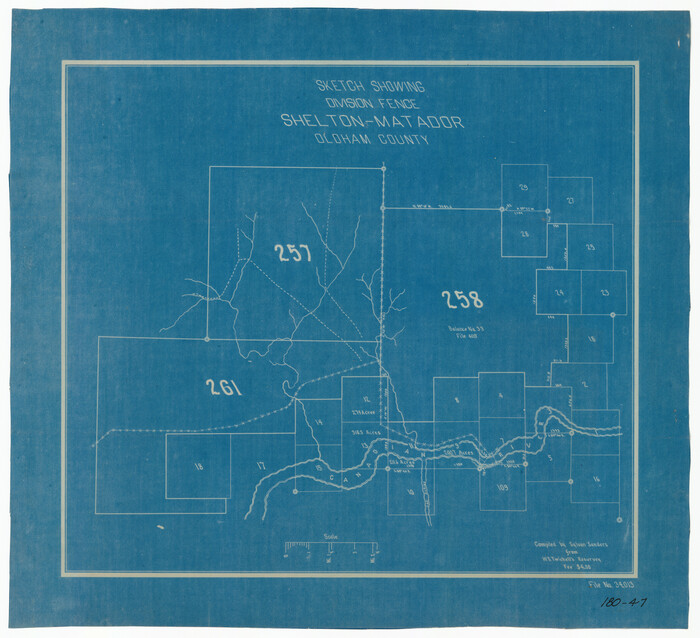

Print $20.00
- Digital $50.00
Sketch Showing Division Fence, Shelton- Matador, Oldham County
Size 20.4 x 18.6 inches
Map/Doc 91445
Erath County Working Sketch 46


Print $40.00
- Digital $50.00
Erath County Working Sketch 46
1983
Size 49.6 x 43.1 inches
Map/Doc 69127
[Jas. T. Williams Survey]
![91163, [Jas. T. Williams Survey], Twichell Survey Records](https://historictexasmaps.com/wmedia_w700/maps/91163-1.tif.jpg)
![91163, [Jas. T. Williams Survey], Twichell Survey Records](https://historictexasmaps.com/wmedia_w700/maps/91163-1.tif.jpg)
Print $20.00
- Digital $50.00
[Jas. T. Williams Survey]
Size 29.4 x 19.8 inches
Map/Doc 91163
Hays County Working Sketch 1
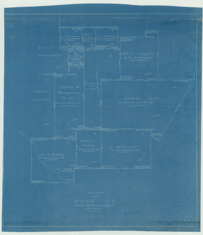

Print $20.00
- Digital $50.00
Hays County Working Sketch 1
1915
Size 20.0 x 17.3 inches
Map/Doc 66075
San Patricio County Rolled Sketch 40


Print $20.00
- Digital $50.00
San Patricio County Rolled Sketch 40
1917
Size 26.0 x 36.0 inches
Map/Doc 7726
Reeves County Working Sketch 62


Print $20.00
- Digital $50.00
Reeves County Working Sketch 62
1984
Size 29.5 x 35.4 inches
Map/Doc 63505
![220, [Surveys on the Neches River], General Map Collection](https://historictexasmaps.com/wmedia_w1800h1800/maps/220.tif.jpg)

