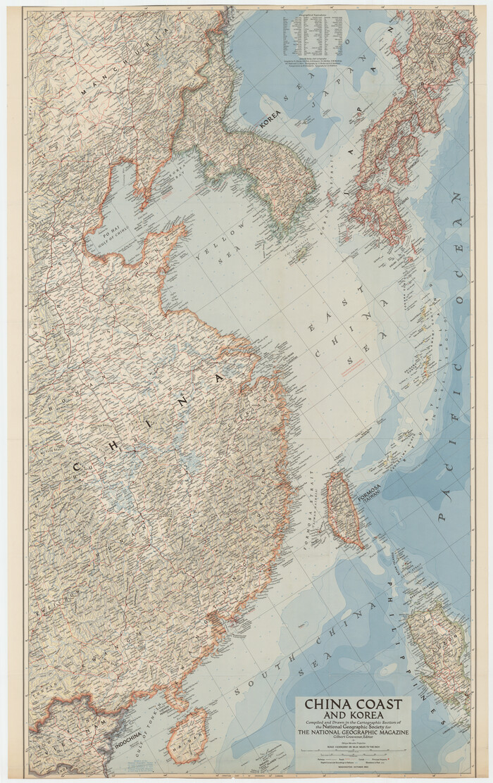
[Jas. T. Williams Survey]
117-70
-
Map/Doc
91163
-
Collection
Twichell Survey Records
-
People and Organizations
W.D. Twichell (Surveyor/Engineer)
-
Counties
Hutchinson
-
Height x Width
29.4 x 19.8 inches
74.7 x 50.3 cm
Part of: Twichell Survey Records
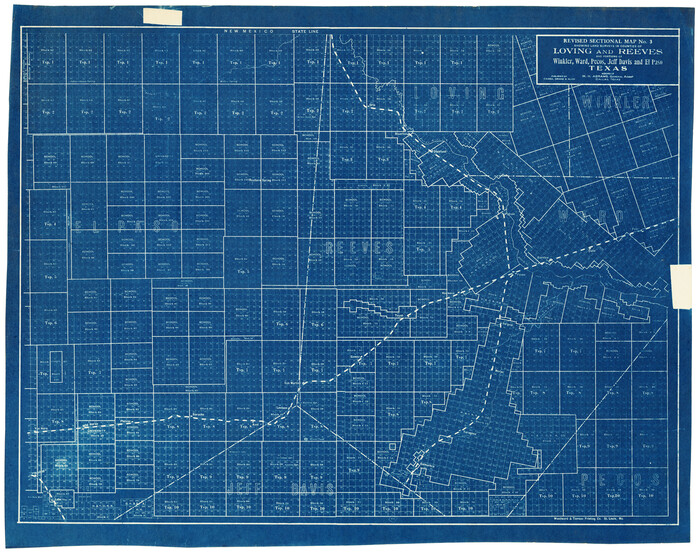
Revised Sectional Map No. 3 Showing Land Surveys in Counties of Loving and Reeves and Portions of Winkler, Ward, Pecos, Jeff Davis and El Paso

Print $20.00
- Digital $50.00
Revised Sectional Map No. 3 Showing Land Surveys in Counties of Loving and Reeves and Portions of Winkler, Ward, Pecos, Jeff Davis and El Paso
Size 24.7 x 19.4 inches
Map/Doc 92902
U.S. Coast and Geodetic First Order Triangulation Stations Geographic Positions Plotted by W.D. Twichell

Digital $50.00
U.S. Coast and Geodetic First Order Triangulation Stations Geographic Positions Plotted by W.D. Twichell
Size 18.0 x 22.7 inches
Map/Doc 92044
[I. & G. N. Block 1, Secs. 65-75]
![90307, [I. & G. N. Block 1, Secs. 65-75], Twichell Survey Records](https://historictexasmaps.com/wmedia_w700/maps/90307-1.tif.jpg)
![90307, [I. & G. N. Block 1, Secs. 65-75], Twichell Survey Records](https://historictexasmaps.com/wmedia_w700/maps/90307-1.tif.jpg)
Print $20.00
- Digital $50.00
[I. & G. N. Block 1, Secs. 65-75]
1928
Size 22.0 x 18.0 inches
Map/Doc 90307
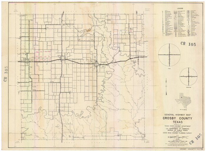
General Highway Map, Crosby County, Texas

Print $20.00
- Digital $50.00
General Highway Map, Crosby County, Texas
1950
Size 25.5 x 18.8 inches
Map/Doc 92597
Working Sketch Crockett County


Print $20.00
- Digital $50.00
Working Sketch Crockett County
1925
Size 16.6 x 15.2 inches
Map/Doc 90476
North Half, Harris County, Texas - Ownership Map with Well Data


North Half, Harris County, Texas - Ownership Map with Well Data
1948
Size 121.9 x 44.3 inches
Map/Doc 93206
[Blk. 1 and League 3, Morris County School Land]
![90364, [Blk. 1 and League 3, Morris County School Land], Twichell Survey Records](https://historictexasmaps.com/wmedia_w700/maps/90364-1.tif.jpg)
![90364, [Blk. 1 and League 3, Morris County School Land], Twichell Survey Records](https://historictexasmaps.com/wmedia_w700/maps/90364-1.tif.jpg)
Print $3.00
- Digital $50.00
[Blk. 1 and League 3, Morris County School Land]
Size 12.4 x 11.4 inches
Map/Doc 90364
[H. & T. C. 46, Sections 79- 84]
![91262, [H. & T. C. 46, Sections 79- 84], Twichell Survey Records](https://historictexasmaps.com/wmedia_w700/maps/91262-1.tif.jpg)
![91262, [H. & T. C. 46, Sections 79- 84], Twichell Survey Records](https://historictexasmaps.com/wmedia_w700/maps/91262-1.tif.jpg)
Print $20.00
- Digital $50.00
[H. & T. C. 46, Sections 79- 84]
Size 27.3 x 32.6 inches
Map/Doc 91262
[Strip Map showing T. & P. connecting lines]
![93176, [Strip Map showing T. & P. connecting lines], Twichell Survey Records](https://historictexasmaps.com/wmedia_w700/maps/93176-1.tif.jpg)
![93176, [Strip Map showing T. & P. connecting lines], Twichell Survey Records](https://historictexasmaps.com/wmedia_w700/maps/93176-1.tif.jpg)
Print $40.00
- Digital $50.00
[Strip Map showing T. & P. connecting lines]
Size 7.7 x 93.6 inches
Map/Doc 93176
[Additions Surrounding Fort Worth & Denver Railroad Fork]
![92840, [Additions Surrounding Fort Worth & Denver Railroad Fork], Twichell Survey Records](https://historictexasmaps.com/wmedia_w700/maps/92840-1.tif.jpg)
![92840, [Additions Surrounding Fort Worth & Denver Railroad Fork], Twichell Survey Records](https://historictexasmaps.com/wmedia_w700/maps/92840-1.tif.jpg)
Print $20.00
- Digital $50.00
[Additions Surrounding Fort Worth & Denver Railroad Fork]
Size 32.2 x 32.1 inches
Map/Doc 92840
Eleven County Map


Print $40.00
- Digital $50.00
Eleven County Map
Size 37.7 x 59.1 inches
Map/Doc 89807
You may also like
Wharton County Rolled Sketch 7


Print $20.00
- Digital $50.00
Wharton County Rolled Sketch 7
Size 38.0 x 26.9 inches
Map/Doc 8231
Aransas County NRC Article 33.136 Sketch 9
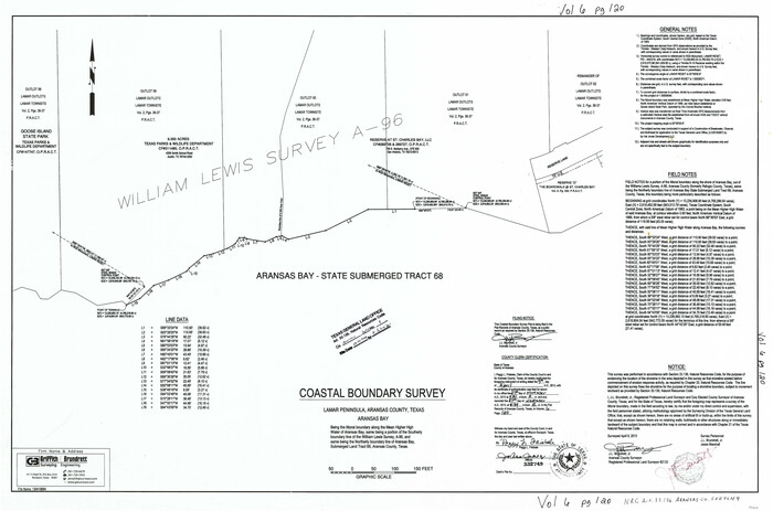

Print $24.00
- Digital $50.00
Aransas County NRC Article 33.136 Sketch 9
2013
Size 24.0 x 36.0 inches
Map/Doc 94469
Flight Mission No. DQO-2K, Frame 142, Galveston County
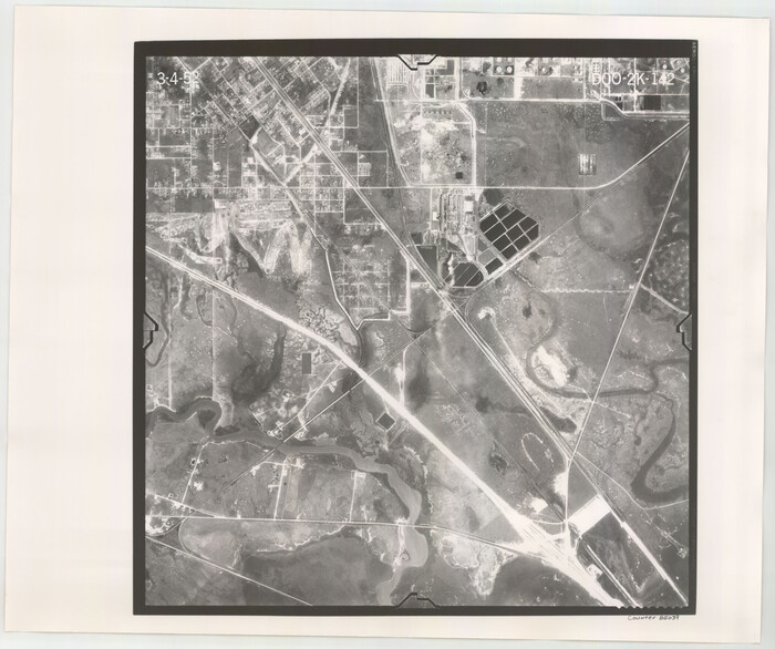

Print $20.00
- Digital $50.00
Flight Mission No. DQO-2K, Frame 142, Galveston County
1952
Size 18.8 x 22.4 inches
Map/Doc 85039
Flight Mission No. BRA-16M, Frame 89, Jefferson County
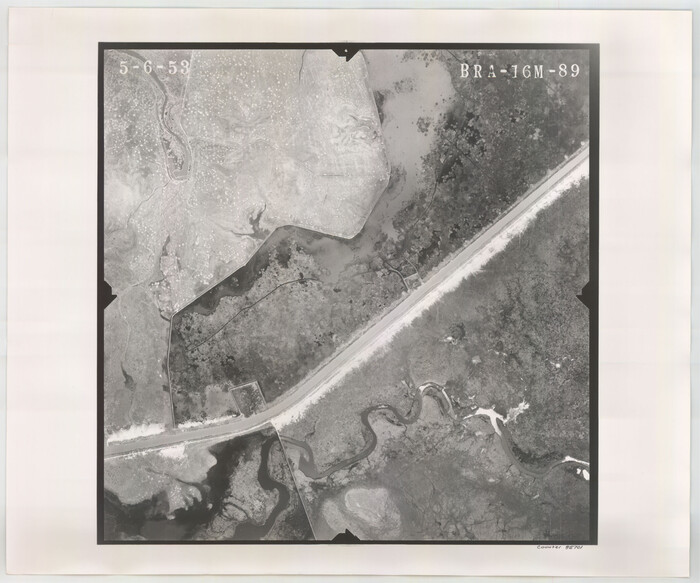

Print $20.00
- Digital $50.00
Flight Mission No. BRA-16M, Frame 89, Jefferson County
1953
Size 18.6 x 22.4 inches
Map/Doc 85701
Rusk County Working Sketch 3
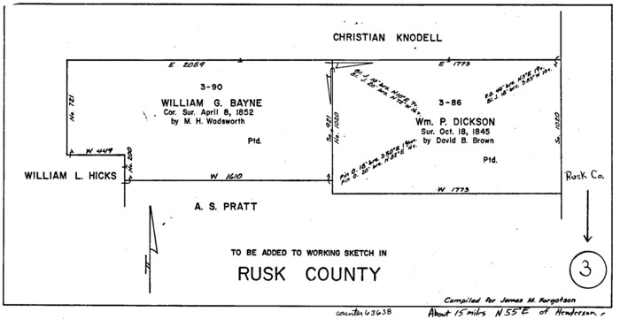

Print $2.00
- Digital $50.00
Rusk County Working Sketch 3
Size 6.3 x 12.2 inches
Map/Doc 63638
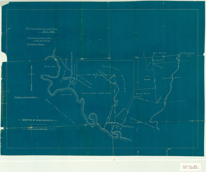
Harris County Sketch File 52

Print $20.00
- Digital $50.00
Harris County Sketch File 52
1914
Size 21.7 x 26.0 inches
Map/Doc 11653
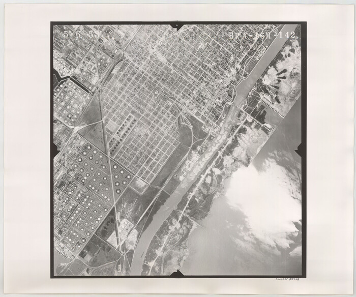
Flight Mission No. BRA-16M, Frame 142, Jefferson County

Print $20.00
- Digital $50.00
Flight Mission No. BRA-16M, Frame 142, Jefferson County
1953
Size 18.5 x 22.2 inches
Map/Doc 85748
Harris County Sketch File 23a


Print $13.00
- Digital $50.00
Harris County Sketch File 23a
1839
Size 9.7 x 6.0 inches
Map/Doc 25379
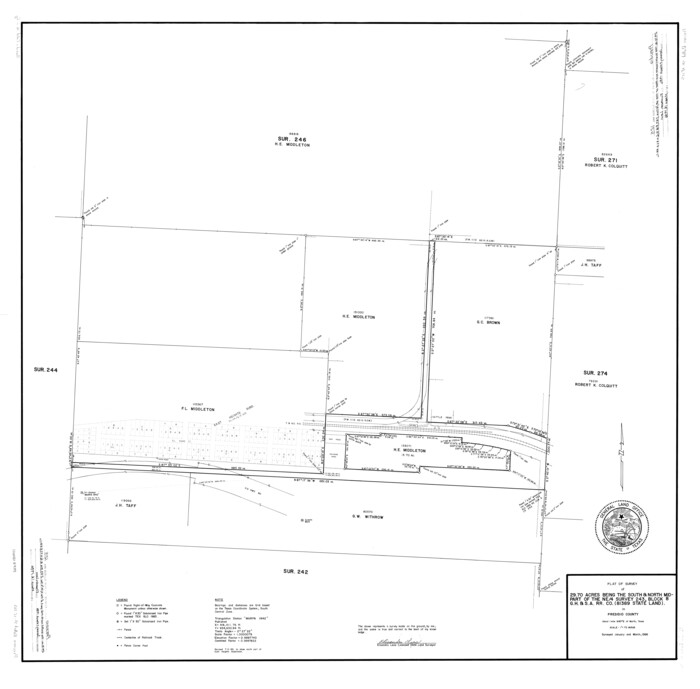
Presidio County Rolled Sketch 125

Print $20.00
- Digital $50.00
Presidio County Rolled Sketch 125
Size 37.3 x 37.9 inches
Map/Doc 9799
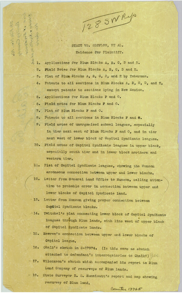
Bailey County Sketch File 10

Print $4.00
- Digital $50.00
Bailey County Sketch File 10
Size 14.1 x 8.7 inches
Map/Doc 13965
Segunda parte del Mapa, que comprende la Frontera, de los Dominios del Rey, en la America Septentrional


Print $40.00
- Digital $50.00
Segunda parte del Mapa, que comprende la Frontera, de los Dominios del Rey, en la America Septentrional
1769
Size 26.7 x 63.8 inches
Map/Doc 4667
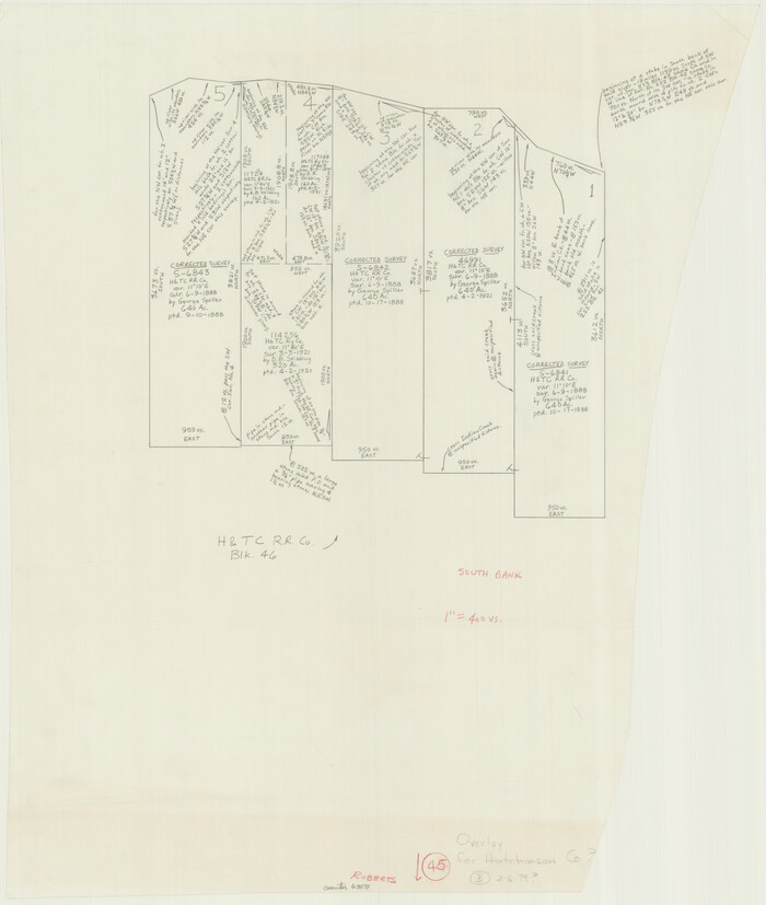
Roberts County Working Sketch 45

Print $20.00
- Digital $50.00
Roberts County Working Sketch 45
1979
Size 23.7 x 20.0 inches
Map/Doc 63571
![91163, [Jas. T. Williams Survey], Twichell Survey Records](https://historictexasmaps.com/wmedia_w1800h1800/maps/91163-1.tif.jpg)
