Part of: Twichell Survey Records
[Township 3 North, Blocks 31 and 32]
![91213, [Township 3 North, Blocks 31 and 32], Twichell Survey Records](https://historictexasmaps.com/wmedia_w700/maps/91213-1.tif.jpg)
![91213, [Township 3 North, Blocks 31 and 32], Twichell Survey Records](https://historictexasmaps.com/wmedia_w700/maps/91213-1.tif.jpg)
Print $3.00
- Digital $50.00
[Township 3 North, Blocks 31 and 32]
Size 12.5 x 10.8 inches
Map/Doc 91213
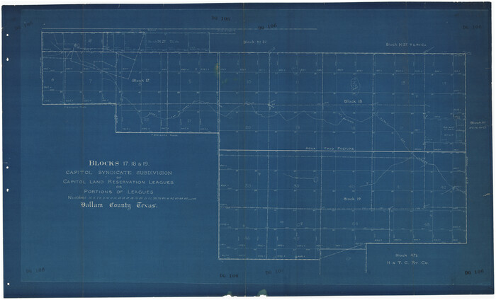
Blocks 17, 18 & 19, Capitol Syndicate Subdivision of Capitol Land Reservation Leagues of Portions of Leagues Number 16, 6, 7, 8, 9, 11, 12, 13, 14, 17, 18. 19, 20, 21, 22, 38, 39, 40, 41, 42, 43, 44, 45 and 46

Print $40.00
- Digital $50.00
Blocks 17, 18 & 19, Capitol Syndicate Subdivision of Capitol Land Reservation Leagues of Portions of Leagues Number 16, 6, 7, 8, 9, 11, 12, 13, 14, 17, 18. 19, 20, 21, 22, 38, 39, 40, 41, 42, 43, 44, 45 and 46
Size 50.5 x 30.9 inches
Map/Doc 89686
Plat of South Side Addition on Section 37 Block 17, Wheeler County, Texas


Print $20.00
- Digital $50.00
Plat of South Side Addition on Section 37 Block 17, Wheeler County, Texas
Size 12.0 x 16.9 inches
Map/Doc 92103
Sandhills Water Rights Survey, City of Lubbock, Texas


Print $40.00
- Digital $50.00
Sandhills Water Rights Survey, City of Lubbock, Texas
1957
Size 76.1 x 31.4 inches
Map/Doc 93211
[Area Surrounding Lee County School Land]
![90887, [Area Surrounding Lee County School Land], Twichell Survey Records](https://historictexasmaps.com/wmedia_w700/maps/90887-1.tif.jpg)
![90887, [Area Surrounding Lee County School Land], Twichell Survey Records](https://historictexasmaps.com/wmedia_w700/maps/90887-1.tif.jpg)
Print $20.00
- Digital $50.00
[Area Surrounding Lee County School Land]
1907
Size 13.9 x 19.2 inches
Map/Doc 90887
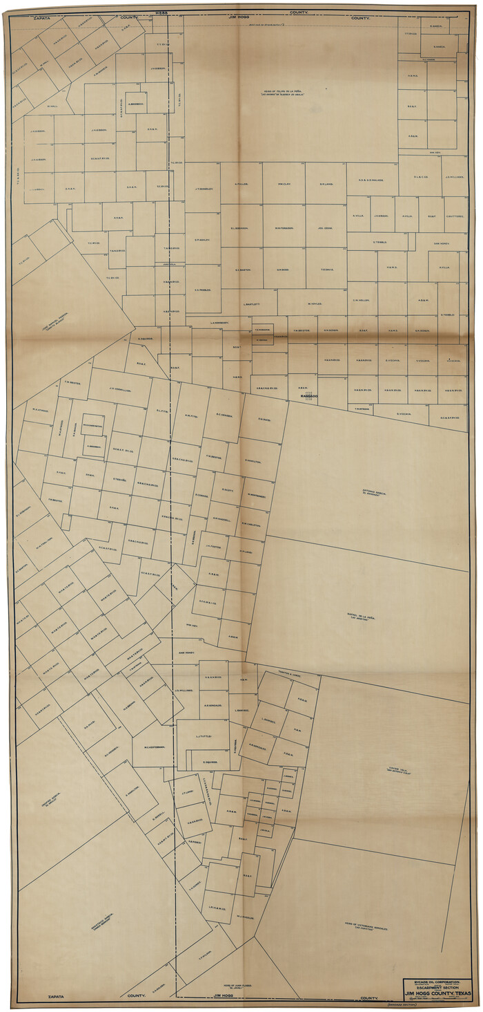
Map of Escarpment Section through Jim Hogg County

Print $40.00
- Digital $50.00
Map of Escarpment Section through Jim Hogg County
1925
Size 43.3 x 88.7 inches
Map/Doc 93158
[T. & P. Blocks 35 and 36, Townships 1N - 5N]
![93136, [T. & P. Blocks 35 and 36, Townships 1N - 5N], Twichell Survey Records](https://historictexasmaps.com/wmedia_w700/maps/93136-1.tif.jpg)
![93136, [T. & P. Blocks 35 and 36, Townships 1N - 5N], Twichell Survey Records](https://historictexasmaps.com/wmedia_w700/maps/93136-1.tif.jpg)
Print $40.00
- Digital $50.00
[T. & P. Blocks 35 and 36, Townships 1N - 5N]
Size 35.3 x 91.0 inches
Map/Doc 93136
[Surveys South of Levi Pruitt]
![92092, [Surveys South of Levi Pruitt], Twichell Survey Records](https://historictexasmaps.com/wmedia_w700/maps/92092-1.tif.jpg)
![92092, [Surveys South of Levi Pruitt], Twichell Survey Records](https://historictexasmaps.com/wmedia_w700/maps/92092-1.tif.jpg)
Print $3.00
- Digital $50.00
[Surveys South of Levi Pruitt]
1924
Size 11.3 x 11.6 inches
Map/Doc 92092
J. W. Kendrick Land, Crosby County, Texas


Print $20.00
- Digital $50.00
J. W. Kendrick Land, Crosby County, Texas
Size 43.1 x 33.8 inches
Map/Doc 92604
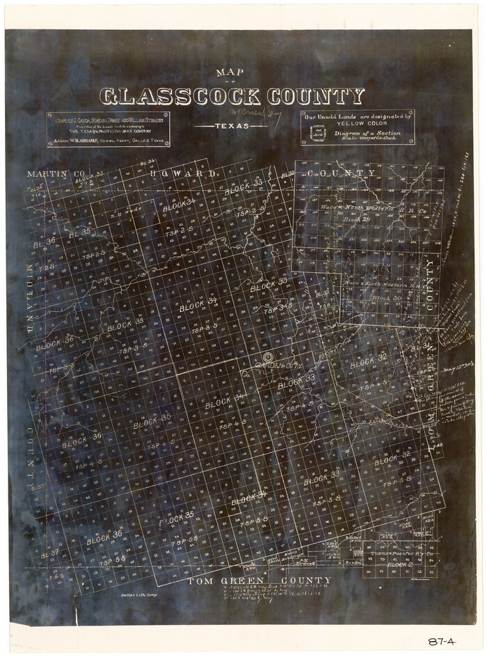
Map of Glasscock County

Print $20.00
- Digital $50.00
Map of Glasscock County
Size 18.8 x 25.1 inches
Map/Doc 90783
[Block 36, Townships 1 and 2 North]
![91364, [Block 36, Townships 1 and 2 North], Twichell Survey Records](https://historictexasmaps.com/wmedia_w700/maps/91364-1.tif.jpg)
![91364, [Block 36, Townships 1 and 2 North], Twichell Survey Records](https://historictexasmaps.com/wmedia_w700/maps/91364-1.tif.jpg)
Print $20.00
- Digital $50.00
[Block 36, Townships 1 and 2 North]
Size 17.3 x 35.4 inches
Map/Doc 91364
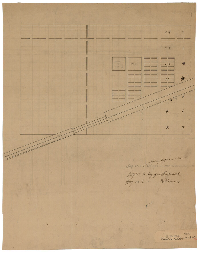
St Francis situated in Potter and Carson Counties, Texas

Print $20.00
- Digital $50.00
St Francis situated in Potter and Carson Counties, Texas
Size 15.1 x 19.2 inches
Map/Doc 93084
You may also like
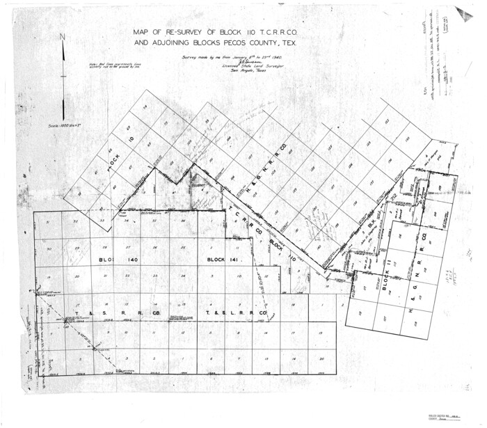
Pecos County Rolled Sketch 103A

Print $20.00
- Digital $50.00
Pecos County Rolled Sketch 103A
1940
Size 29.3 x 33.4 inches
Map/Doc 7252
'O Bar O' Ranch


Print $40.00
- Digital $50.00
'O Bar O' Ranch
1946
Size 47.8 x 82.6 inches
Map/Doc 93202
[Surveys in Austin's Colony along the Brazos River]
![164, [Surveys in Austin's Colony along the Brazos River], General Map Collection](https://historictexasmaps.com/wmedia_w700/maps/164.tif.jpg)
![164, [Surveys in Austin's Colony along the Brazos River], General Map Collection](https://historictexasmaps.com/wmedia_w700/maps/164.tif.jpg)
Print $20.00
- Digital $50.00
[Surveys in Austin's Colony along the Brazos River]
1833
Size 25.0 x 23.9 inches
Map/Doc 164
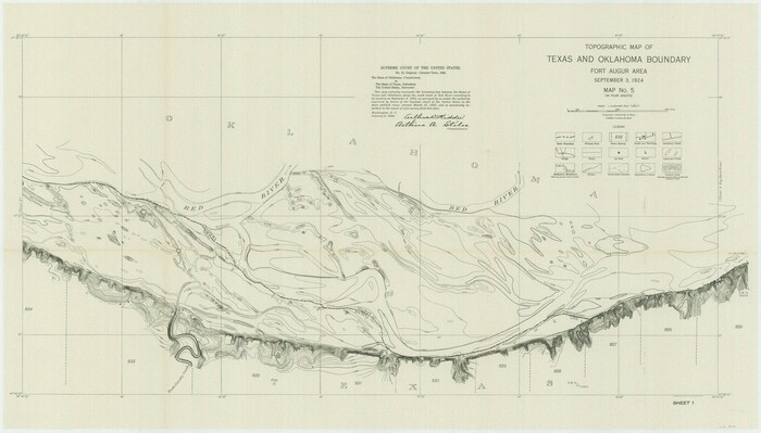
Supreme Court of the United States, October Term, 1924, No. 13, Original - The State of Oklahoma, Complainant vs. The State of Texas, Defendant, The United States, Intervener

Print $20.00
- Digital $50.00
Supreme Court of the United States, October Term, 1924, No. 13, Original - The State of Oklahoma, Complainant vs. The State of Texas, Defendant, The United States, Intervener
1924
Size 22.1 x 38.7 inches
Map/Doc 75130
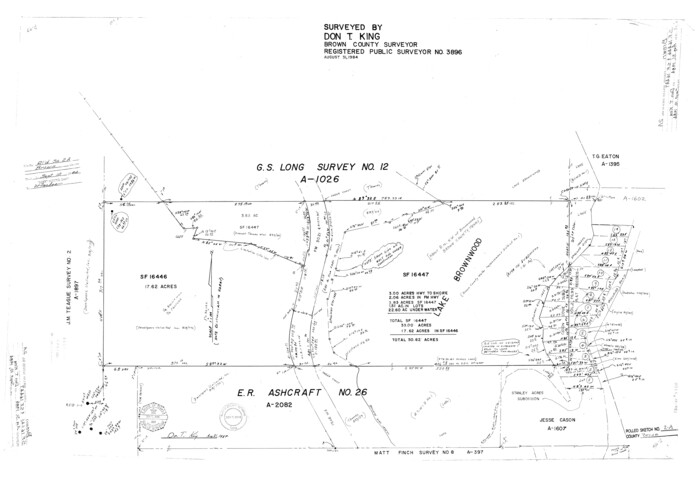
Brown County Rolled Sketch 2A

Print $20.00
- Digital $50.00
Brown County Rolled Sketch 2A
1984
Size 25.6 x 37.4 inches
Map/Doc 5350
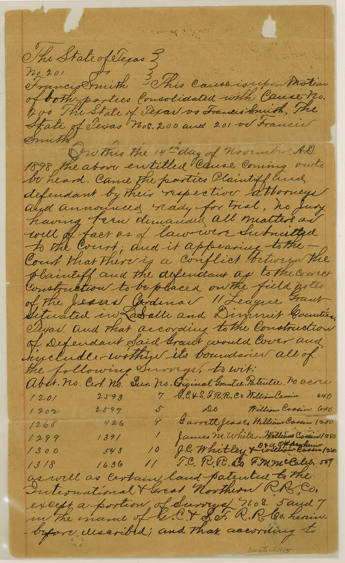
Dimmit County Sketch File 21

Print $16.00
- Digital $50.00
Dimmit County Sketch File 21
1898
Size 14.4 x 8.8 inches
Map/Doc 21115
Map of Concho County


Print $20.00
- Digital $50.00
Map of Concho County
1897
Size 46.9 x 38.4 inches
Map/Doc 4919
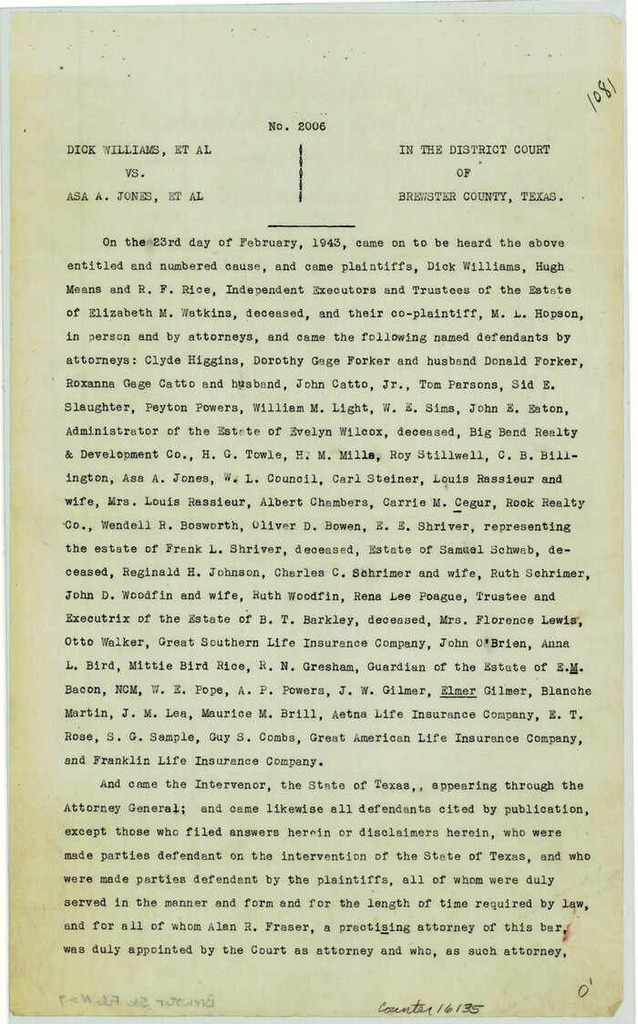
Brewster County Sketch File NS-9

Print $40.00
- Digital $50.00
Brewster County Sketch File NS-9
1944
Size 14.2 x 8.9 inches
Map/Doc 16135
[Beaty and Moulton Block A, Southern Pacific Railroad Block 2]
![91398, [Beaty and Moulton Block A, Southern Pacific Railroad Block 2], Twichell Survey Records](https://historictexasmaps.com/wmedia_w700/maps/91398-1.tif.jpg)
![91398, [Beaty and Moulton Block A, Southern Pacific Railroad Block 2], Twichell Survey Records](https://historictexasmaps.com/wmedia_w700/maps/91398-1.tif.jpg)
Print $20.00
- Digital $50.00
[Beaty and Moulton Block A, Southern Pacific Railroad Block 2]
1914
Size 24.2 x 15.4 inches
Map/Doc 91398
From Citizens of Montgomery County to Redefine the Boundary Between Harris and Montgomery Counties, May 8, 1838


Print $20.00
From Citizens of Montgomery County to Redefine the Boundary Between Harris and Montgomery Counties, May 8, 1838
2020
Size 15.4 x 21.7 inches
Map/Doc 96382
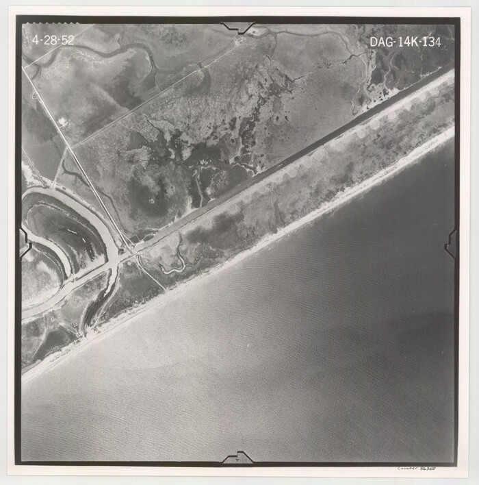
Flight Mission No. DAG-14K, Frame 134, Matagorda County

Print $20.00
- Digital $50.00
Flight Mission No. DAG-14K, Frame 134, Matagorda County
1952
Size 17.6 x 17.4 inches
Map/Doc 86305
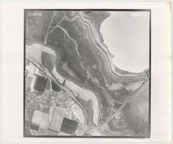
Flight Mission No. DQN-6K, Frame 90, Calhoun County

Print $20.00
- Digital $50.00
Flight Mission No. DQN-6K, Frame 90, Calhoun County
1953
Size 18.6 x 22.2 inches
Map/Doc 84450
