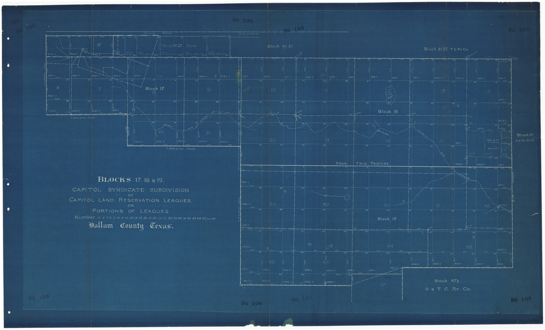
Blocks 17, 18 & 19, Capitol Syndicate Subdivision of Capitol Land Reservation Leagues of Portions of Leagues Number 16, 6, 7, 8, 9, 11, 12, 13, 14, 17, 18. 19, 20, 21, 22, 38, 39, 40, 41, 42, 43, 44, 45 and 46
DQ106
-
Map/Doc
89686
-
Collection
Twichell Survey Records
-
Counties
Dallam
-
Height x Width
50.5 x 30.9 inches
128.3 x 78.5 cm
-
Comments
Shows leagues 16, 6, 7, 8, 9, 10, 11, 12, 13, 14, 17, 18, 19, 20, 21, 22, 38, 39, 40, 41, 42, 43, 44, 45 and 46
Part of: Twichell Survey Records
Sheet 2 copied from Peck Book 6 [Strip Map showing T. & P. connecting lines]
![93172, Sheet 2 copied from Peck Book 6 [Strip Map showing T. & P. connecting lines], Twichell Survey Records](https://historictexasmaps.com/wmedia_w700/maps/93172-1.tif.jpg)
Print $40.00
- Digital $50.00
Sheet 2 copied from Peck Book 6 [Strip Map showing T. & P. connecting lines]
1909
Size 6.5 x 53.9 inches
Map/Doc 93172
Sketch Showing Construction of School Leagues and Adjacent Lands Situated in Martin and Dawson Counties

Print $40.00
- Digital $50.00
Sketch Showing Construction of School Leagues and Adjacent Lands Situated in Martin and Dawson Counties
1914
Size 39.3 x 97.6 inches
Map/Doc 93201
Eberstadt and Brock's Subdivisions of the West Half of Survey Number 187 Block 2 A. B. & M., Randall County Texas

Print $20.00
- Digital $50.00
Eberstadt and Brock's Subdivisions of the West Half of Survey Number 187 Block 2 A. B. & M., Randall County Texas
Size 14.9 x 30.7 inches
Map/Doc 91747
General Highway Map Cochran County, Texas

Print $40.00
- Digital $50.00
General Highway Map Cochran County, Texas
1942
Size 37.4 x 50.1 inches
Map/Doc 89851
'O Bar O' Ranch

Print $20.00
- Digital $50.00
'O Bar O' Ranch
1946
Size 21.1 x 36.2 inches
Map/Doc 92162
![91541, [Capitol Lands], Twichell Survey Records](https://historictexasmaps.com/wmedia_w700/maps/91541-2.tif.jpg)
Caldwell County

Print $20.00
- Digital $50.00
Caldwell County
1896
Size 42.7 x 33.3 inches
Map/Doc 93039
[Chas. L. Durocher and Surrounding Surveys]
![90815, [Chas. L. Durocher and Surrounding Surveys], Twichell Survey Records](https://historictexasmaps.com/wmedia_w700/maps/90815-2.tif.jpg)
Print $20.00
- Digital $50.00
[Chas. L. Durocher and Surrounding Surveys]
1919
Size 19.7 x 27.4 inches
Map/Doc 90815
[North Central Part of County]
![90555, [North Central Part of County], Twichell Survey Records](https://historictexasmaps.com/wmedia_w700/maps/90555-1.tif.jpg)
Print $2.00
- Digital $50.00
[North Central Part of County]
Size 6.7 x 9.9 inches
Map/Doc 90555
[North line of T. & P. Block 31, Township 6N]
![90554, [North line of T. & P. Block 31, Township 6N], Twichell Survey Records](https://historictexasmaps.com/wmedia_w700/maps/90554-1.tif.jpg)
Print $2.00
- Digital $50.00
[North line of T. & P. Block 31, Township 6N]
Size 7.5 x 4.7 inches
Map/Doc 90554
[Block Y, Walker County School Land, and vicinity]
![92536, [Block Y, Walker County School Land, and vicinity], Twichell Survey Records](https://historictexasmaps.com/wmedia_w700/maps/92536-1.tif.jpg)
Print $20.00
- Digital $50.00
[Block Y, Walker County School Land, and vicinity]
Size 23.3 x 24.8 inches
Map/Doc 92536
[Randall County School Land League 152 and vicinity]
![92998, [Randall County School Land League 152 and vicinity], Twichell Survey Records](https://historictexasmaps.com/wmedia_w700/maps/92998.tif.jpg)
Print $3.00
- Digital $50.00
[Randall County School Land League 152 and vicinity]
1949
Size 15.0 x 10.9 inches
Map/Doc 92998
You may also like
The Republic County of Robertson. November 28, 1839

Print $20.00
The Republic County of Robertson. November 28, 1839
2020
Size 18.9 x 21.6 inches
Map/Doc 96260
Kimble County Sketch File 42

Print $10.00
- Digital $50.00
Kimble County Sketch File 42
1995
Size 11.2 x 8.8 inches
Map/Doc 29015
Flight Mission No. DQN-5K, Frame 27, Calhoun County

Print $20.00
- Digital $50.00
Flight Mission No. DQN-5K, Frame 27, Calhoun County
1953
Size 18.4 x 22.1 inches
Map/Doc 84378
Map of the Lands belonging to the Texas Land & Cattle Co. situated in Wharton, Matagorda and Jackson Counties, Texas

Print $20.00
- Digital $50.00
Map of the Lands belonging to the Texas Land & Cattle Co. situated in Wharton, Matagorda and Jackson Counties, Texas
1904
Size 24.6 x 38.5 inches
Map/Doc 94020
Liberty County Working Sketch 46

Print $20.00
- Digital $50.00
Liberty County Working Sketch 46
1953
Size 18.6 x 37.6 inches
Map/Doc 70505
Bee County Sketch File 2a

Print $6.00
- Digital $50.00
Bee County Sketch File 2a
1847
Size 7.9 x 13.0 inches
Map/Doc 14356
[Leagues 633-737]
![91107, [Leagues 633-737], Twichell Survey Records](https://historictexasmaps.com/wmedia_w700/maps/91107-1.tif.jpg)
Print $20.00
- Digital $50.00
[Leagues 633-737]
Size 23.9 x 19.6 inches
Map/Doc 91107
Guadalupe County Working Sketch 4

Print $20.00
- Digital $50.00
Guadalupe County Working Sketch 4
1939
Size 17.7 x 10.8 inches
Map/Doc 63313
Webb County Rolled Sketch 78A

Print $20.00
- Digital $50.00
Webb County Rolled Sketch 78A
Size 28.4 x 23.0 inches
Map/Doc 90053
Van Zandt County Sketch File 15b

Print $4.00
- Digital $50.00
Van Zandt County Sketch File 15b
1858
Size 12.2 x 7.7 inches
Map/Doc 39408
Flight Mission No. BRA-7M, Frame 21, Jefferson County

Print $20.00
- Digital $50.00
Flight Mission No. BRA-7M, Frame 21, Jefferson County
1953
Size 18.4 x 22.2 inches
Map/Doc 85472
Pecos County Sketch File 52

Print $10.00
- Digital $50.00
Pecos County Sketch File 52
Size 8.6 x 3.8 inches
Map/Doc 33781