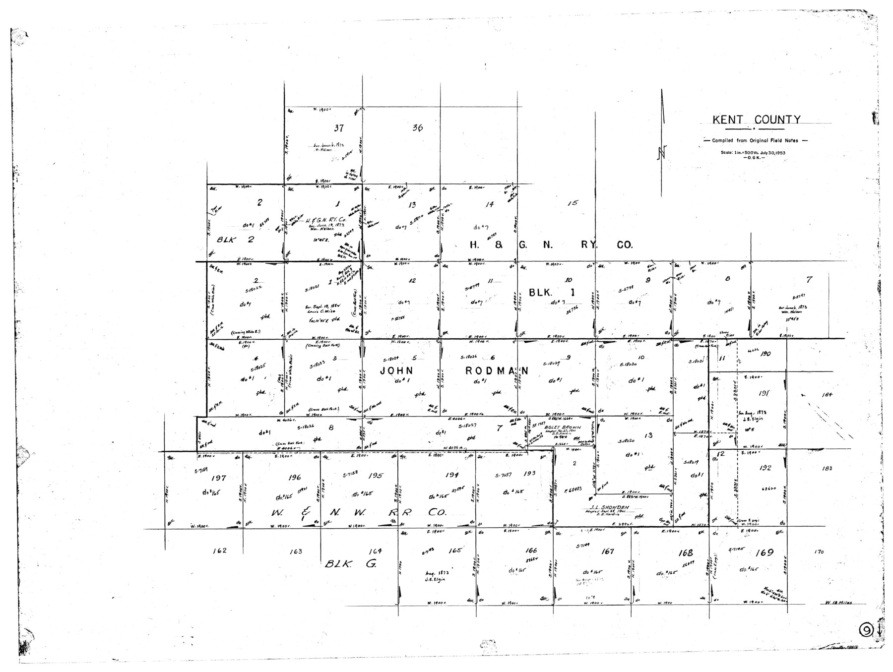
Kent County Working Sketch 9
-
Map/Doc
70016
-
Collection
General Map Collection
-
Object Dates
7/30/1953 (Creation Date)
-
People and Organizations
Otto G. Kurio (Draftsman)
-
Counties
Kent
-
Subjects
Surveying Working Sketch
-
Height x Width
33.0 x 43.8 inches
83.8 x 111.3 cm
-
Scale
1" = 500 varas
Part of: General Map Collection
Clay County Sketch File 24

Print $4.00
- Digital $50.00
Clay County Sketch File 24
1881
Size 18.9 x 23.0 inches
Map/Doc 11087
Wilson County Rolled Sketch 1

Print $20.00
- Digital $50.00
Wilson County Rolled Sketch 1
1941
Size 31.5 x 27.1 inches
Map/Doc 8367
Flight Mission No. BRA-3M, Frame 198, Jefferson County

Print $20.00
- Digital $50.00
Flight Mission No. BRA-3M, Frame 198, Jefferson County
1953
Size 18.7 x 22.4 inches
Map/Doc 85413
Leon County Rolled Sketch 6

Print $20.00
- Digital $50.00
Leon County Rolled Sketch 6
1951
Size 31.7 x 37.1 inches
Map/Doc 6596

Pecos County Working Sketch 70

Print $20.00
- Digital $50.00
Pecos County Working Sketch 70
1957
Size 31.4 x 27.0 inches
Map/Doc 71542
Reagan County Working Sketch 42

Print $20.00
- Digital $50.00
Reagan County Working Sketch 42
1973
Size 19.9 x 37.0 inches
Map/Doc 71884
Sutton County Working Sketch 46

Print $40.00
- Digital $50.00
Sutton County Working Sketch 46
1953
Size 48.4 x 27.1 inches
Map/Doc 62389
Floyd County Sketch File 11

Print $2.00
- Digital $50.00
Floyd County Sketch File 11
1914
Size 3.8 x 6.7 inches
Map/Doc 22707
Webb County Rolled Sketch 25

Print $20.00
- Digital $50.00
Webb County Rolled Sketch 25
Size 28.4 x 42.4 inches
Map/Doc 8185
Maverick County Sketch File 25

Print $20.00
- Digital $50.00
Maverick County Sketch File 25
1914
Size 18.4 x 25.6 inches
Map/Doc 12055
Baylor County Sketch File AA

Print $40.00
- Digital $50.00
Baylor County Sketch File AA
1879
Size 15.9 x 27.9 inches
Map/Doc 10910
You may also like
Newton County Working Sketch 12

Print $20.00
- Digital $50.00
Newton County Working Sketch 12
1942
Size 24.5 x 28.5 inches
Map/Doc 71258
Austin County Working Sketch 3

Print $20.00
- Digital $50.00
Austin County Working Sketch 3
1950
Size 33.3 x 40.1 inches
Map/Doc 67244
Erath County Rolled Sketch 2

Print $20.00
- Digital $50.00
Erath County Rolled Sketch 2
Size 21.0 x 25.9 inches
Map/Doc 5861
Culberson County Working Sketch 44

Print $40.00
- Digital $50.00
Culberson County Working Sketch 44
1970
Size 53.4 x 36.4 inches
Map/Doc 68498
Kerr County Rolled Sketch 19

Print $20.00
- Digital $50.00
Kerr County Rolled Sketch 19
1954
Size 43.4 x 28.4 inches
Map/Doc 6501
Lamb County Rolled Sketch 4

Print $20.00
- Digital $50.00
Lamb County Rolled Sketch 4
1917
Size 31.1 x 43.1 inches
Map/Doc 9414
Duval County Rolled Sketch 39

Print $20.00
- Digital $50.00
Duval County Rolled Sketch 39
1956
Size 29.0 x 20.1 inches
Map/Doc 5756
Amistad International Reservoir on Rio Grande 76

Print $20.00
- Digital $50.00
Amistad International Reservoir on Rio Grande 76
1949
Size 28.5 x 40.2 inches
Map/Doc 75504
Flight Mission No. DQN-2K, Frame 123, Calhoun County

Print $20.00
- Digital $50.00
Flight Mission No. DQN-2K, Frame 123, Calhoun County
1953
Size 16.6 x 16.5 inches
Map/Doc 84299
Map of Rains County

Print $20.00
- Digital $50.00
Map of Rains County
1873
Size 12.5 x 11.6 inches
Map/Doc 4618
Presidio County Sketch File 64a

Print $4.00
- Digital $50.00
Presidio County Sketch File 64a
1939
Size 11.3 x 8.8 inches
Map/Doc 34652
Reagan County

Print $20.00
- Digital $50.00
Reagan County
1940
Size 41.6 x 31.4 inches
Map/Doc 77403