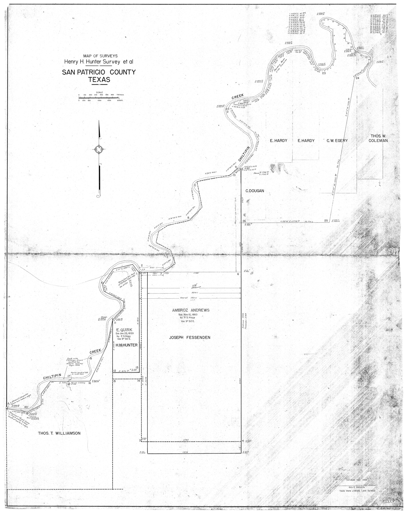
San Patricio County Working Sketch 12
-
Map/Doc
63774
-
Collection
General Map Collection
-
People and Organizations
Orin E. Metcalfe (Surveyor/Engineer)
Otto G. Kurio (Draftsman)
-
Counties
San Patricio
-
Subjects
Surveying Working Sketch
-
Height x Width
51.4 x 40.7 inches
130.6 x 103.4 cm
Part of: General Map Collection
Jefferson County Working Sketch 9

Print $20.00
- Digital $50.00
Jefferson County Working Sketch 9
1937
Size 19.5 x 22.0 inches
Map/Doc 66552
Flight Mission No. BRE-1P, Frame 45, Nueces County

Print $20.00
- Digital $50.00
Flight Mission No. BRE-1P, Frame 45, Nueces County
1956
Size 16.5 x 16.1 inches
Map/Doc 86634
Shelby County Working Sketch 20

Print $20.00
- Digital $50.00
Shelby County Working Sketch 20
1970
Size 28.0 x 22.8 inches
Map/Doc 63873
Rand, McNally and Co.'s New Enlarged Scale Railroad and County Map of Texas, Showing Every Railroad Station and Post Office in the State

Print $20.00
- Digital $50.00
Rand, McNally and Co.'s New Enlarged Scale Railroad and County Map of Texas, Showing Every Railroad Station and Post Office in the State
1882
Size 23.7 x 29.8 inches
Map/Doc 2135
Navigation Maps of Gulf Intracoastal Waterway, Port Arthur to Brownsville, Texas

Print $4.00
- Digital $50.00
Navigation Maps of Gulf Intracoastal Waterway, Port Arthur to Brownsville, Texas
1951
Size 16.8 x 21.6 inches
Map/Doc 65419
Laguna Madre, T-9211

Print $20.00
- Digital $50.00
Laguna Madre, T-9211
Size 33.0 x 31.1 inches
Map/Doc 73602
Caldwell County Sketch File 4b

Print $8.00
- Digital $50.00
Caldwell County Sketch File 4b
1896
Size 6.4 x 3.8 inches
Map/Doc 35839
Hutchinson County Rolled Sketch 28

Print $20.00
- Digital $50.00
Hutchinson County Rolled Sketch 28
1921
Size 28.1 x 34.7 inches
Map/Doc 6290
Mason County Working Sketch 7

Print $20.00
- Digital $50.00
Mason County Working Sketch 7
1945
Size 35.8 x 43.9 inches
Map/Doc 70843
Harris County Working Sketch 30

Print $20.00
- Digital $50.00
Harris County Working Sketch 30
1935
Size 25.9 x 28.0 inches
Map/Doc 65922
Liberty County Working Sketch 40

Print $20.00
- Digital $50.00
Liberty County Working Sketch 40
1952
Size 24.1 x 32.9 inches
Map/Doc 70499
Bee County Sketch File 6

Print $6.00
- Digital $50.00
Bee County Sketch File 6
1860
Size 12.3 x 7.7 inches
Map/Doc 14272
You may also like

Kent County Boundary File 11

Print $4.00
- Digital $50.00
Kent County Boundary File 11
Size 13.9 x 8.8 inches
Map/Doc 55895
Plat of Surveys in Hidalgo Co.

Print $20.00
- Digital $50.00
Plat of Surveys in Hidalgo Co.
Size 17.3 x 8.4 inches
Map/Doc 75547
Flight Mission No. BRA-16M, Frame 100, Jefferson County

Print $20.00
- Digital $50.00
Flight Mission No. BRA-16M, Frame 100, Jefferson County
1953
Size 18.4 x 19.2 inches
Map/Doc 85712
Comanche County Working Sketch 17

Print $20.00
- Digital $50.00
Comanche County Working Sketch 17
1972
Size 39.5 x 37.4 inches
Map/Doc 68151
Subdivision of Leagues 21 and 24 McCulloch County School Land Hockley County, Texas

Print $20.00
- Digital $50.00
Subdivision of Leagues 21 and 24 McCulloch County School Land Hockley County, Texas
Size 24.8 x 18.0 inches
Map/Doc 92211
Kendall County Rolled Sketch 8

Print $20.00
- Digital $50.00
Kendall County Rolled Sketch 8
1994
Size 17.0 x 18.3 inches
Map/Doc 6461
Tom Green County Sketch File 37a

Print $24.00
- Digital $50.00
Tom Green County Sketch File 37a
1881
Size 18.5 x 24.0 inches
Map/Doc 12437
Montgomery County Working Sketch 20

Print $20.00
- Digital $50.00
Montgomery County Working Sketch 20
1935
Size 27.8 x 38.9 inches
Map/Doc 71127
Culberson County Rolled Sketch 1

Print $20.00
- Digital $50.00
Culberson County Rolled Sketch 1
1889
Size 28.7 x 26.4 inches
Map/Doc 5645
Flight Mission No. CRK-5P, Frame 155, Refugio County

Print $20.00
- Digital $50.00
Flight Mission No. CRK-5P, Frame 155, Refugio County
1956
Size 18.7 x 22.6 inches
Map/Doc 86936
Foard County Rolled Sketch 12

Print $20.00
- Digital $50.00
Foard County Rolled Sketch 12
1945
Size 26.8 x 19.7 inches
Map/Doc 5886